Elevation map of Manjhand, Jamshoro, Sindh, Pakistan
Location: Pakistan > Sindh > Jamshoro >
Longitude: 68.0477509
Latitude: 25.909541
Elevation: 97m / 318feet
Barometric Pressure: 100KPa
Elevation Map:
Satellite Map:
Related Photos:

Wondrous view of RaniKot Entrance and aloof car on a no-man place.

RANIKOT FORT

#onion fields at #ranikot

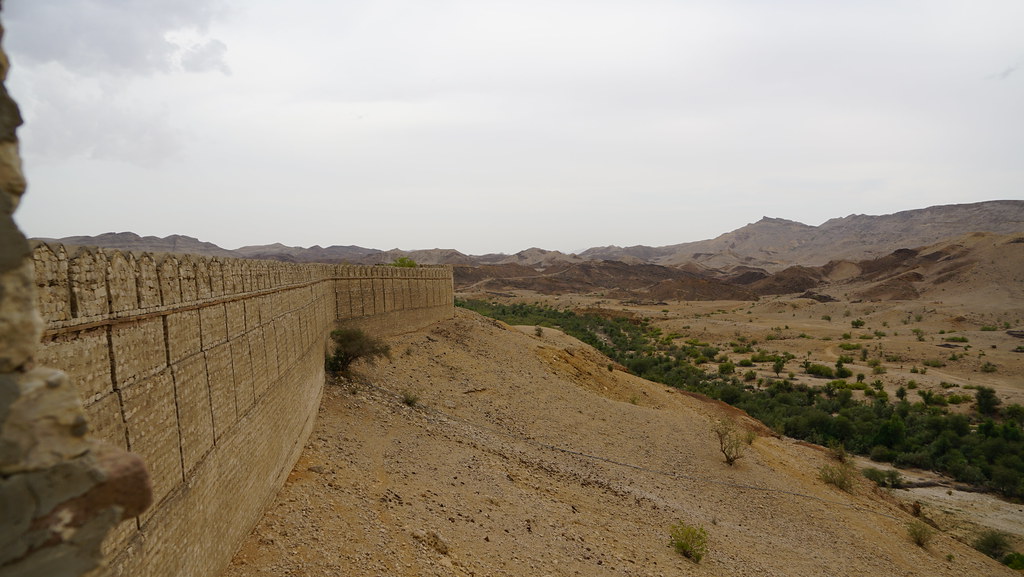
Ranikot Fort Sindh

Ranikot Fort Sindh

Ranikot Fort Sindh

Ranikot Fort Sindh

Ranikot Fort Sindh

Miri Fort

Miri Fort

Miri Fort

Miri Fort

Miri Fort

Miri Fort

Miri Fort

Miri Fort
Miri Fort

Miri Fort

Miri Fort

Ranikot Fort Sindh

Ranikot Fort Sindh
Topographic Map of Manjhand, Jamshoro, Sindh, Pakistan
Find elevation by address:

Places near Manjhand, Jamshoro, Sindh, Pakistan:
Ranikot Fort
Jamshoro
Kotri
Nawabshah
Shaheed Benazirabad
Matiari
Nawabshah Airport
Quaid-e-awam University Of Engineering, Science And Technology
Sindh
Nawabshah
Sehwan
Police Station Railway Nawabshah.
Matiari
Matiari
Liaquat University Of Medical And Health Sciences
Jamshoro
Sehwān
University Of Sindh
Kazi Ahmed
Mehran University Of Engineering And Technology
Recent Searches:
- Elevation of Corso Fratelli Cairoli, 35, Macerata MC, Italy
- Elevation of Tallevast Rd, Sarasota, FL, USA
- Elevation of 4th St E, Sonoma, CA, USA
- Elevation of Black Hollow Rd, Pennsdale, PA, USA
- Elevation of Oakland Ave, Williamsport, PA, USA
- Elevation of Pedrógão Grande, Portugal
- Elevation of Klee Dr, Martinsburg, WV, USA
- Elevation of Via Roma, Pieranica CR, Italy
- Elevation of Tavkvetili Mountain, Georgia
- Elevation of Hartfords Bluff Cir, Mt Pleasant, SC, USA