Elevation of Manjeri, Kerala, India
Location: India > Kerala > Malappuram >
Longitude: 76.1198972
Latitude: 11.1202668
Elevation: 46m / 151feet
Barometric Pressure: 101KPa
Elevation Map:
Satellite Map:
Related Photos:

Vellapokkam 2009

Paddy leaves with remains from the previous night's rain
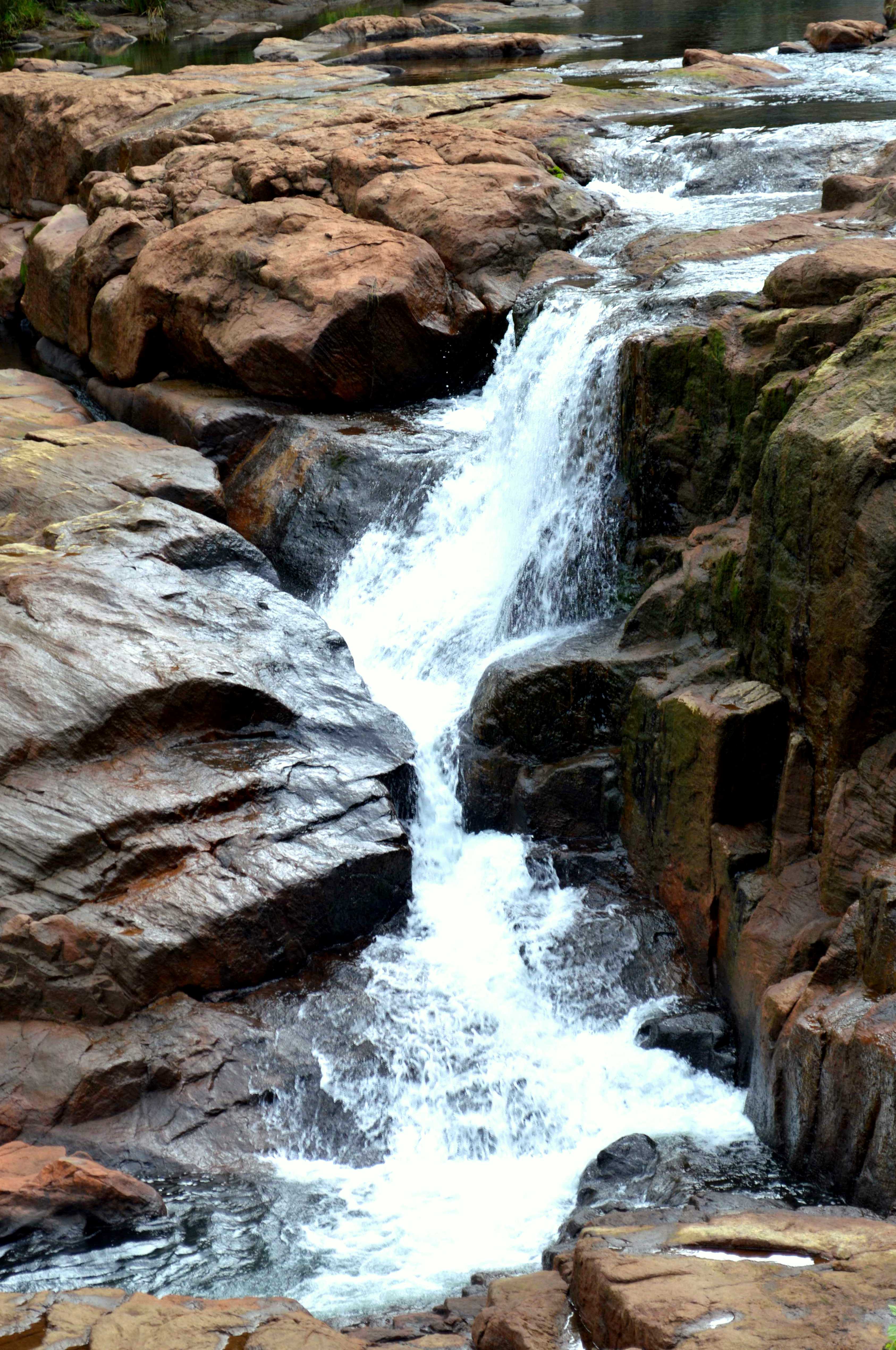
Pristine water

My son

My son

My son

My son

My son

My son

My son

My son

My son

My son

My son

My son

My son

My son

My son

My son

My son

My son

My son

My son

My son
Topographic Map of Manjeri, Kerala, India
Find elevation by address:

Places near Manjeri, Kerala, India:
Malappuram
Kotta Mala
Malappuram
Perintalmanna
Kalpakanchery
Mambra Parammal Road
Valavannur
Karinkallathani
Marayamangalam
Kottoppadam
Kerala
Vallapuzha
Pallikkunnu
Ongallur
Pallikkunnu Post Office
Chamravattom Bridge Junction
Chamravattom Bridge
Chamravattom
Padavayal
Mukurthi National Park
Recent Searches:
- Elevation of Corso Fratelli Cairoli, 35, Macerata MC, Italy
- Elevation of Tallevast Rd, Sarasota, FL, USA
- Elevation of 4th St E, Sonoma, CA, USA
- Elevation of Black Hollow Rd, Pennsdale, PA, USA
- Elevation of Oakland Ave, Williamsport, PA, USA
- Elevation of Pedrógão Grande, Portugal
- Elevation of Klee Dr, Martinsburg, WV, USA
- Elevation of Via Roma, Pieranica CR, Italy
- Elevation of Tavkvetili Mountain, Georgia
- Elevation of Hartfords Bluff Cir, Mt Pleasant, SC, USA