Elevation of Manitouwadge, ON P0T, Canada
Location: Canada > Ontario > Thunder Bay District > Manitouwadge >
Longitude: -85.828814
Latitude: 49.1258627
Elevation: 331m / 1086feet
Barometric Pressure: 97KPa
Elevation Map:
Satellite Map:
Related Photos:
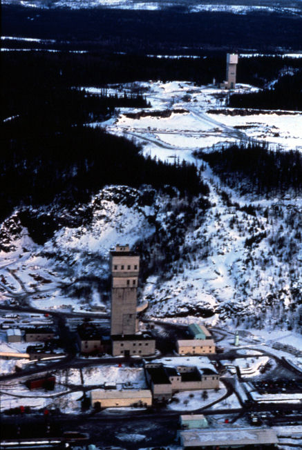
GECO Mine 1976 01
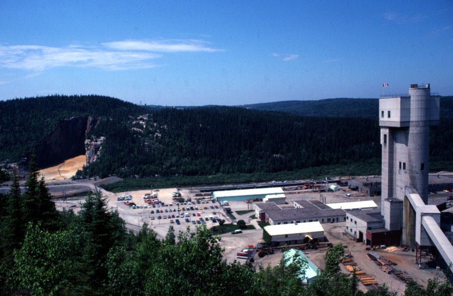
GECO MINE
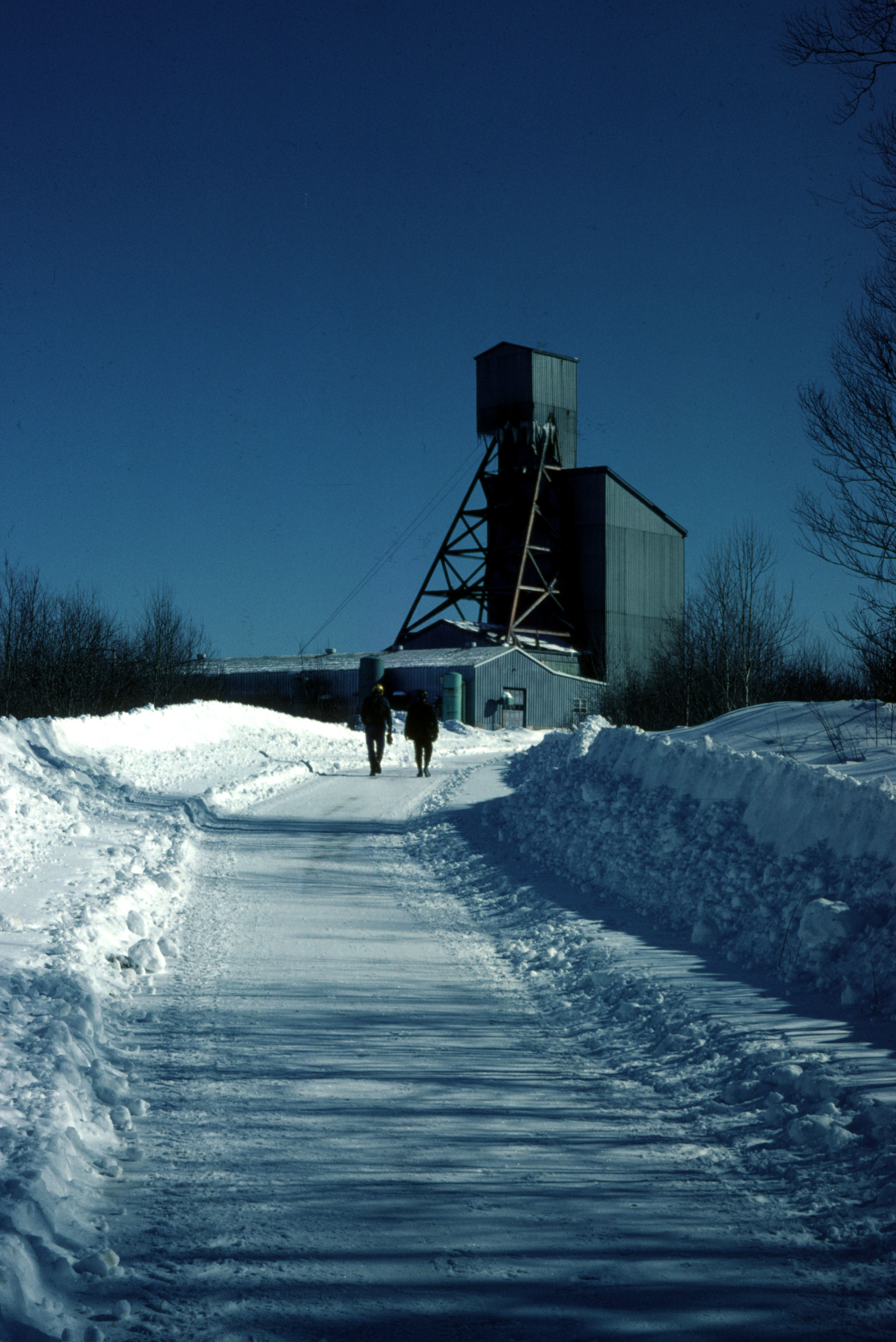
WillechoManitouwadge Feb 1976
333/365
late night ride
Topographic Map of Manitouwadge, ON P0T, Canada
Find elevation by address:

Places in Manitouwadge, ON P0T, Canada:
Places near Manitouwadge, ON P0T, Canada:
Manitouwadge
P0t 2c0
6 Kinglet Pl
17 Trans-Canada Hwy, Unorganized Thunder Bay District, ON P0T, Canada
13 Birch St
13 Birch St
18 Steedman Dr, Marathon, ON P0T 2E0, Canada
Marathon
Jack Fish
Terrace Bay
P0t 2w0
Terrace Bay
Recent Searches:
- Elevation of Corso Fratelli Cairoli, 35, Macerata MC, Italy
- Elevation of Tallevast Rd, Sarasota, FL, USA
- Elevation of 4th St E, Sonoma, CA, USA
- Elevation of Black Hollow Rd, Pennsdale, PA, USA
- Elevation of Oakland Ave, Williamsport, PA, USA
- Elevation of Pedrógão Grande, Portugal
- Elevation of Klee Dr, Martinsburg, WV, USA
- Elevation of Via Roma, Pieranica CR, Italy
- Elevation of Tavkvetili Mountain, Georgia
- Elevation of Hartfords Bluff Cir, Mt Pleasant, SC, USA