Elevation map of Manicouagan Regional County Municipality, QC, Canada
Location: Canada > Québec >
Longitude: -68.936743
Latitude: 51.1255094
Elevation: 442m / 1450feet
Barometric Pressure: 0KPa
Related Photos:
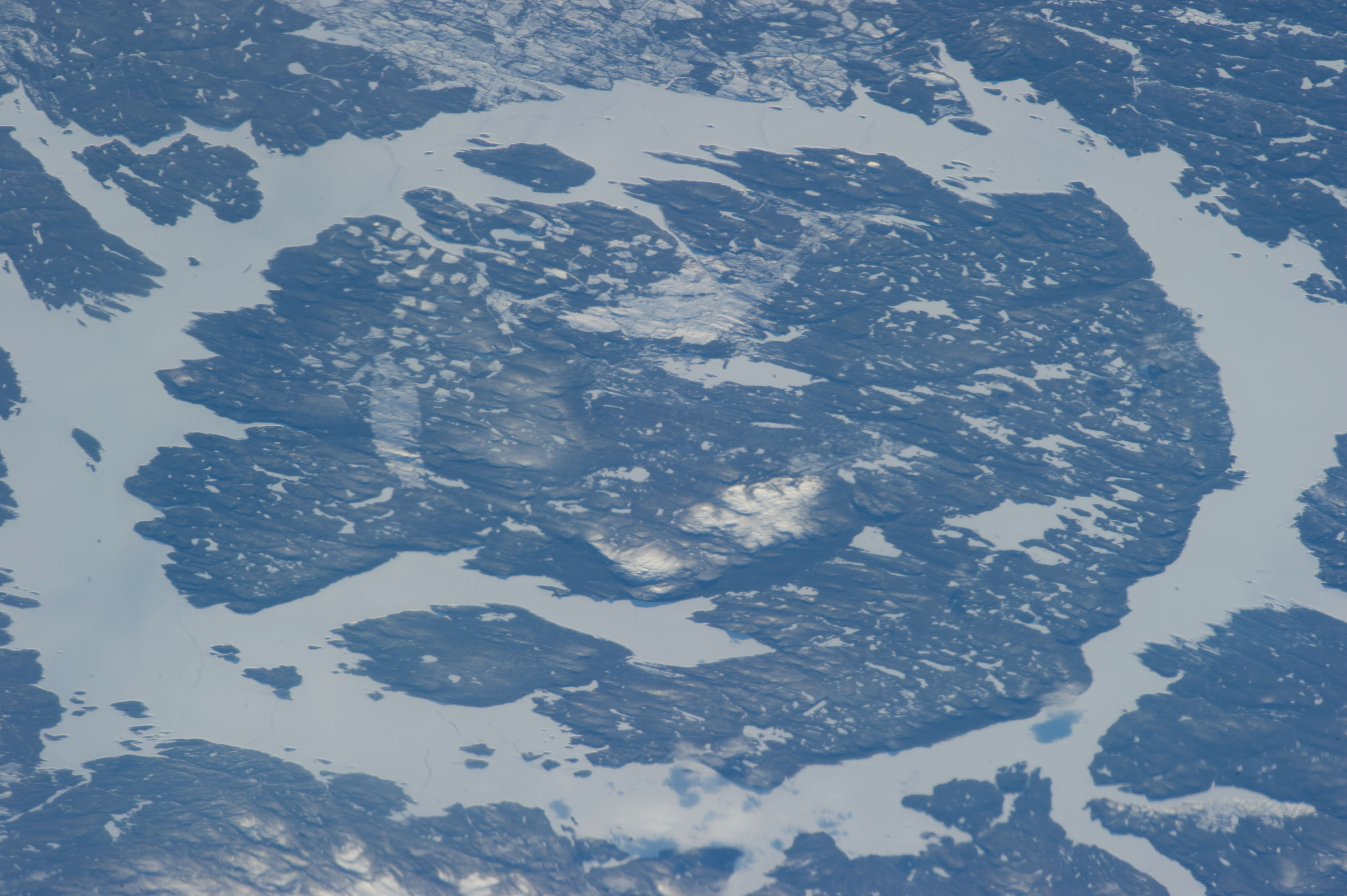
Manicouagan Crater
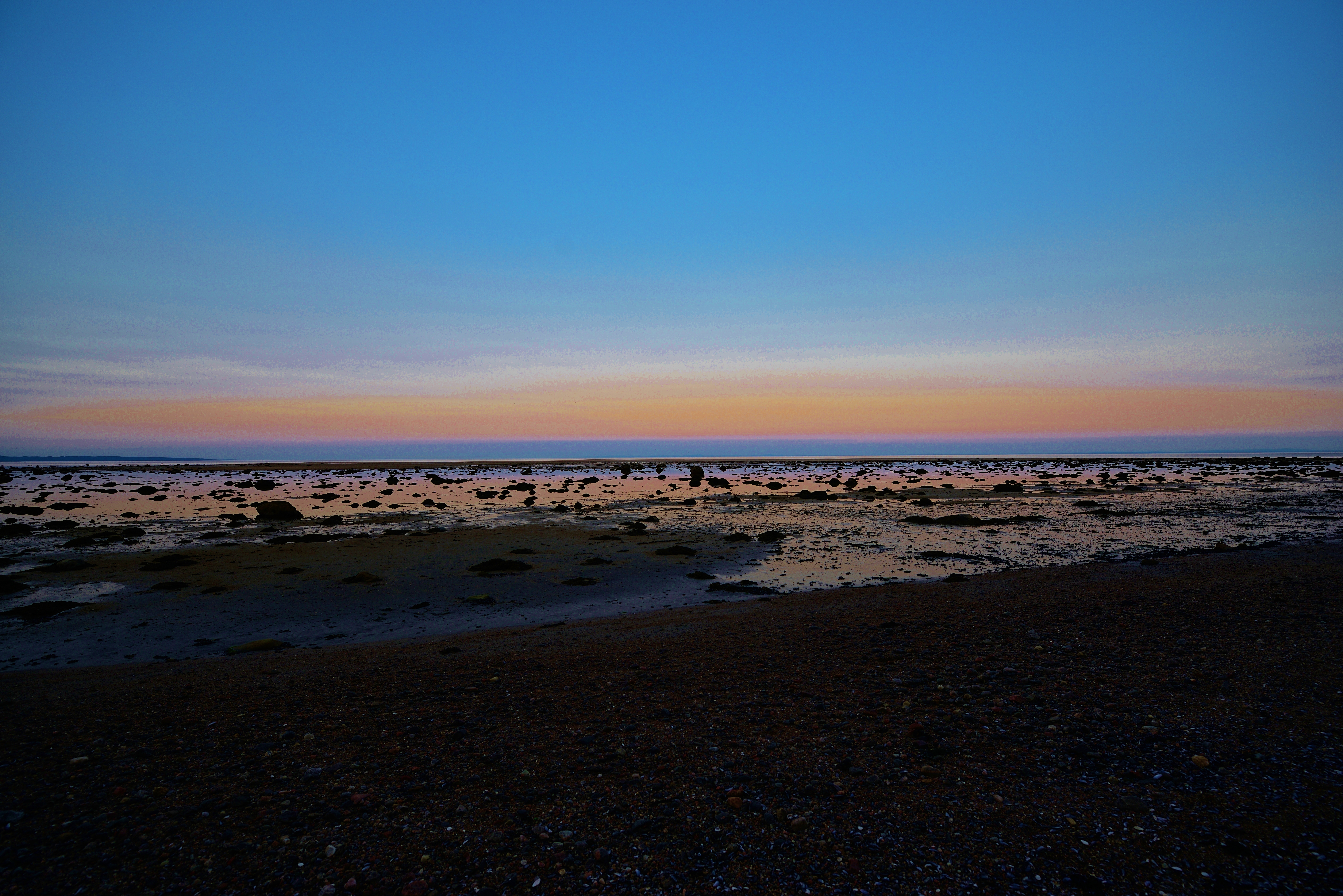
Baie-Comeau Plage Champlain
Topographic Map of Manicouagan Regional County Municipality, QC, Canada
Find elevation by address:

Places in Manicouagan Regional County Municipality, QC, Canada:
Ragueneau
Godbout
Rue des Merisiers, Franquelin, QC G0H 1E0, Canada
70 QC-, Baie-Trinité, QC G0H 1A0, Canada
Rue des Rochers, Baie-Comeau, QC G5C 1V1, Canada
Godbout
Godbout
Godbout
Godbout
Godbout
Godbout
Godbout
Godbout
Godbout
Godbout
Godbout
Godbout
Godbout
Godbout
Godbout
Godbout
Godbout
Godbout
Godbout
Baie-trinité
Baie-comeau
Recent Searches:
- Elevation map of Greenland, Greenland
- Elevation of Sullivan Hill, New York, New York, 10002, USA
- Elevation of Morehead Road, Withrow Downs, Charlotte, Mecklenburg County, North Carolina, 28262, USA
- Elevation of 2800, Morehead Road, Withrow Downs, Charlotte, Mecklenburg County, North Carolina, 28262, USA
- Elevation of Yangbi Yi Autonomous County, Yunnan, China
- Elevation of Pingpo, Yangbi Yi Autonomous County, Yunnan, China
- Elevation of Mount Malong, Pingpo, Yangbi Yi Autonomous County, Yunnan, China
- Elevation map of Yongping County, Yunnan, China
- Elevation of North 8th Street, Palatka, Putnam County, Florida, 32177, USA
- Elevation of 107, Big Apple Road, East Palatka, Putnam County, Florida, 32131, USA
- Elevation of Jiezi, Chongzhou City, Sichuan, China
- Elevation of Chongzhou City, Sichuan, China
- Elevation of Huaiyuan, Chongzhou City, Sichuan, China
- Elevation of Qingxia, Chengdu, Sichuan, China
- Elevation of Corso Fratelli Cairoli, 35, Macerata MC, Italy
- Elevation of Tallevast Rd, Sarasota, FL, USA
- Elevation of 4th St E, Sonoma, CA, USA
- Elevation of Black Hollow Rd, Pennsdale, PA, USA
- Elevation of Oakland Ave, Williamsport, PA, USA
- Elevation of Pedrógão Grande, Portugal