Elevation of Mane, Pidie Regency, Aceh, Indonesia
Location: Indonesia > Aceh > Pidie Regency >
Longitude: 96.0891032
Latitude: 4.8867326
Elevation: 404m / 1325feet
Barometric Pressure: 97KPa
Elevation Map:
Satellite Map:
Related Photos:
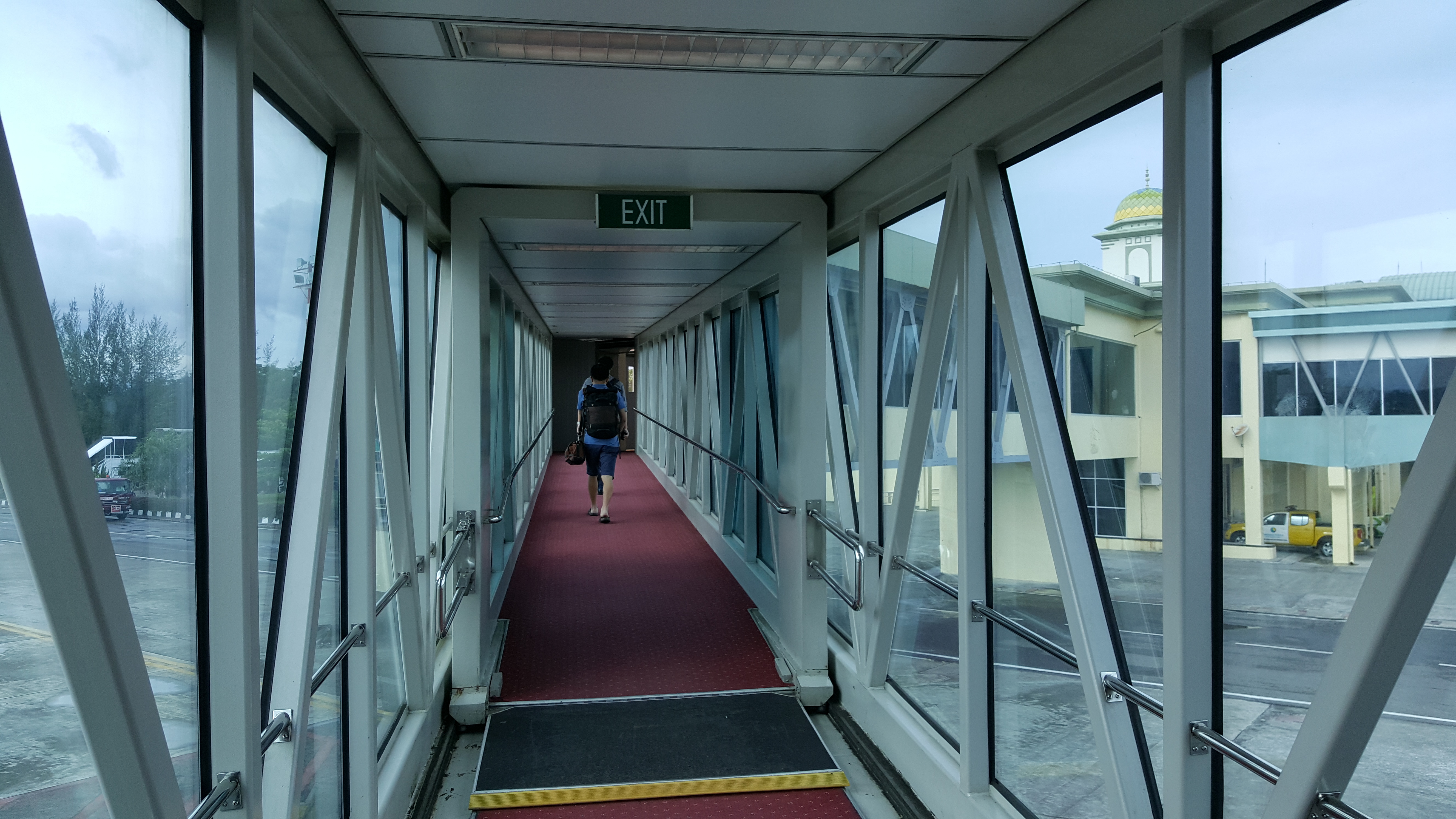
Sultan Iskandar Muda International Airport - Blang Bintang, Aceh Besar, Aceh
vvvv (11)
Topographic Map of Mane, Pidie Regency, Aceh, Indonesia
Find elevation by address:

Places near Mane, Pidie Regency, Aceh, Indonesia:
Geumpang
Tangse
Meureudu
Pidie Regency
Krueng Sabee
Pidie Jaya Regency
Mas River
Tutut
Meureudu City
Keumala
West Aceh Regency
Aceh Jaya Regency
Blang Luah
Gunung Hulumasen
Jantho City
Teunom
Sigli
Padang Tiji
Ketol
Jantho
Recent Searches:
- Elevation of Corso Fratelli Cairoli, 35, Macerata MC, Italy
- Elevation of Tallevast Rd, Sarasota, FL, USA
- Elevation of 4th St E, Sonoma, CA, USA
- Elevation of Black Hollow Rd, Pennsdale, PA, USA
- Elevation of Oakland Ave, Williamsport, PA, USA
- Elevation of Pedrógão Grande, Portugal
- Elevation of Klee Dr, Martinsburg, WV, USA
- Elevation of Via Roma, Pieranica CR, Italy
- Elevation of Tavkvetili Mountain, Georgia
- Elevation of Hartfords Bluff Cir, Mt Pleasant, SC, USA