Elevation of Mandalgarh, Rajasthan, India
Location: India > Rajasthan > Bhilwara >
Longitude: 75.0932352
Latitude: 25.1977566
Elevation: 388m / 1273feet
Barometric Pressure: 97KPa
Elevation Map:
Satellite Map:
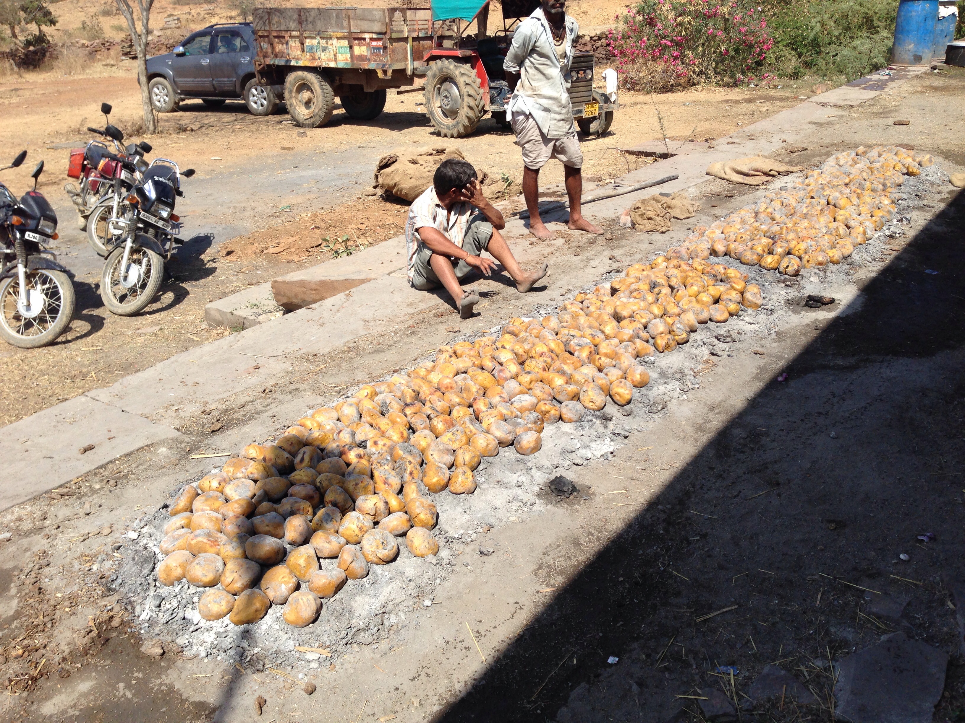
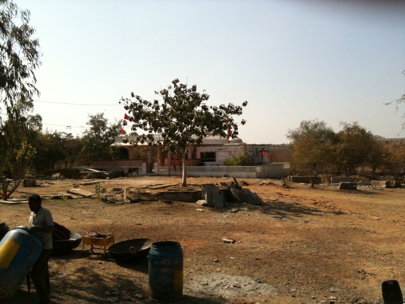
Related Photos:
Dal bati time.

It's a beautiful weather today. #iPhone4

Time for Lunch at Triveni. #iPhone4

Random shot of Greenery

Testing Left Orientation

Anyone know why Govt put White-Red-White color on trees ???

Sunset..!!!
Testing Flickr2Twitter
Topographic Map of Mandalgarh, Rajasthan, India
Find elevation by address:

Places near Mandalgarh, Rajasthan, India:
Begun
Bijolia
Singoli
Bijaipur
Chittaurgarh
Chittorgarh
Rawatbhata
Jawad
Gurudwara Agam Garh Sahib Ji
Nimbahera
Manasa
Electricity Board Area
Chambal River
Kota Barrage
Thermal Colony Kota
Kunhari
Govt. Girls Sr. Sec. School, Mahaveer Nagar -3rd, Kota, Rajasthan
Mahaveer Nagar Housing Board Colony
Neemuch
Neemuch
Recent Searches:
- Elevation of Corso Fratelli Cairoli, 35, Macerata MC, Italy
- Elevation of Tallevast Rd, Sarasota, FL, USA
- Elevation of 4th St E, Sonoma, CA, USA
- Elevation of Black Hollow Rd, Pennsdale, PA, USA
- Elevation of Oakland Ave, Williamsport, PA, USA
- Elevation of Pedrógão Grande, Portugal
- Elevation of Klee Dr, Martinsburg, WV, USA
- Elevation of Via Roma, Pieranica CR, Italy
- Elevation of Tavkvetili Mountain, Georgia
- Elevation of Hartfords Bluff Cir, Mt Pleasant, SC, USA