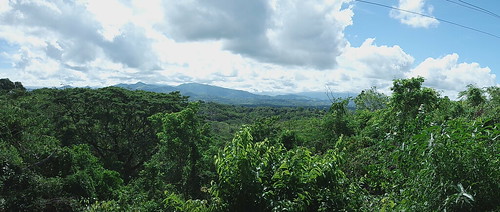
Elevation of Mamburao, Occidental Mindoro, Philippines
Location: Philippines > Mimaropa > Occidental Mindoro >
Longitude: 120.620489
Latitude: 13.2681778
Elevation: 17m / 56feet
Barometric Pressure: 101KPa
Related Photos:
Topographic Map of Mamburao, Occidental Mindoro, Philippines
Find elevation by address:

Places near Mamburao, Occidental Mindoro, Philippines:
Occidental Mindoro State College
Maculbo Chapel
Occidental Mindoro
Mount Calavite
Amnay
Denr-arnp Jump-off Point
Sablayan
Mabini
Holy Family Chapel
Anilao - Orense Road
Anilao - Orense Road
Calatagan
Mount Babuy
Taal - San Luis Road
Butong
Balibago
Nonong Casto Beach Resort
Malinis
Illustre Avenue
Diversion Road
Recent Searches:
- Elevation of Corso Fratelli Cairoli, 35, Macerata MC, Italy
- Elevation of Tallevast Rd, Sarasota, FL, USA
- Elevation of 4th St E, Sonoma, CA, USA
- Elevation of Black Hollow Rd, Pennsdale, PA, USA
- Elevation of Oakland Ave, Williamsport, PA, USA
- Elevation of Pedrógão Grande, Portugal
- Elevation of Klee Dr, Martinsburg, WV, USA
- Elevation of Via Roma, Pieranica CR, Italy
- Elevation of Tavkvetili Mountain, Georgia
- Elevation of Hartfords Bluff Cir, Mt Pleasant, SC, USA

