Elevation of Malegaon, Maharashtra, India
Location: India > Maharashtra > Nashik >
Longitude: 74.5100291
Latitude: 20.5547497
Elevation: 429m / 1407feet
Barometric Pressure: 96KPa
Elevation Map:
Satellite Map:
Related Photos:
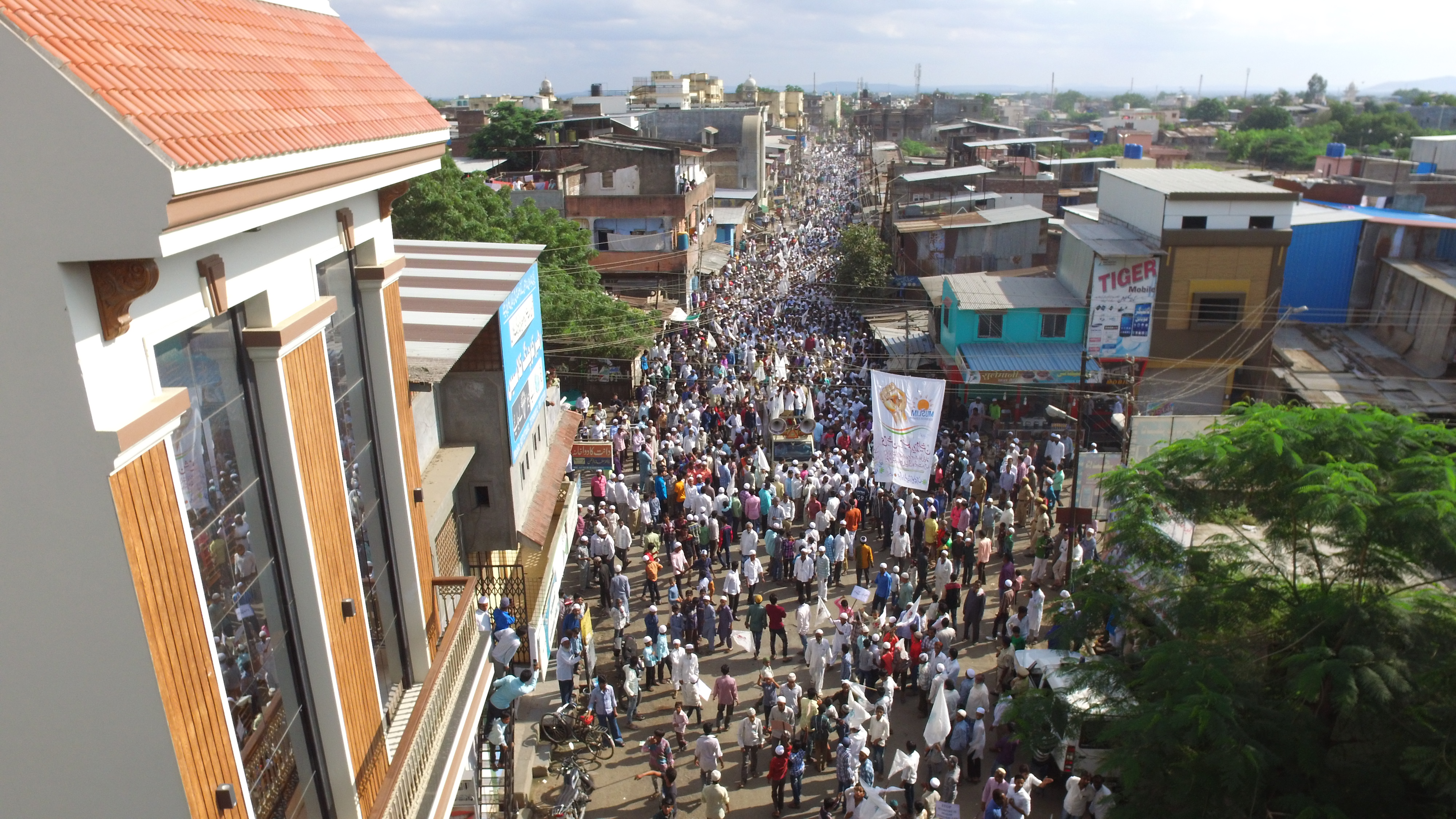
One Lakh people marched in Malegaon demanding reservation for Muslims
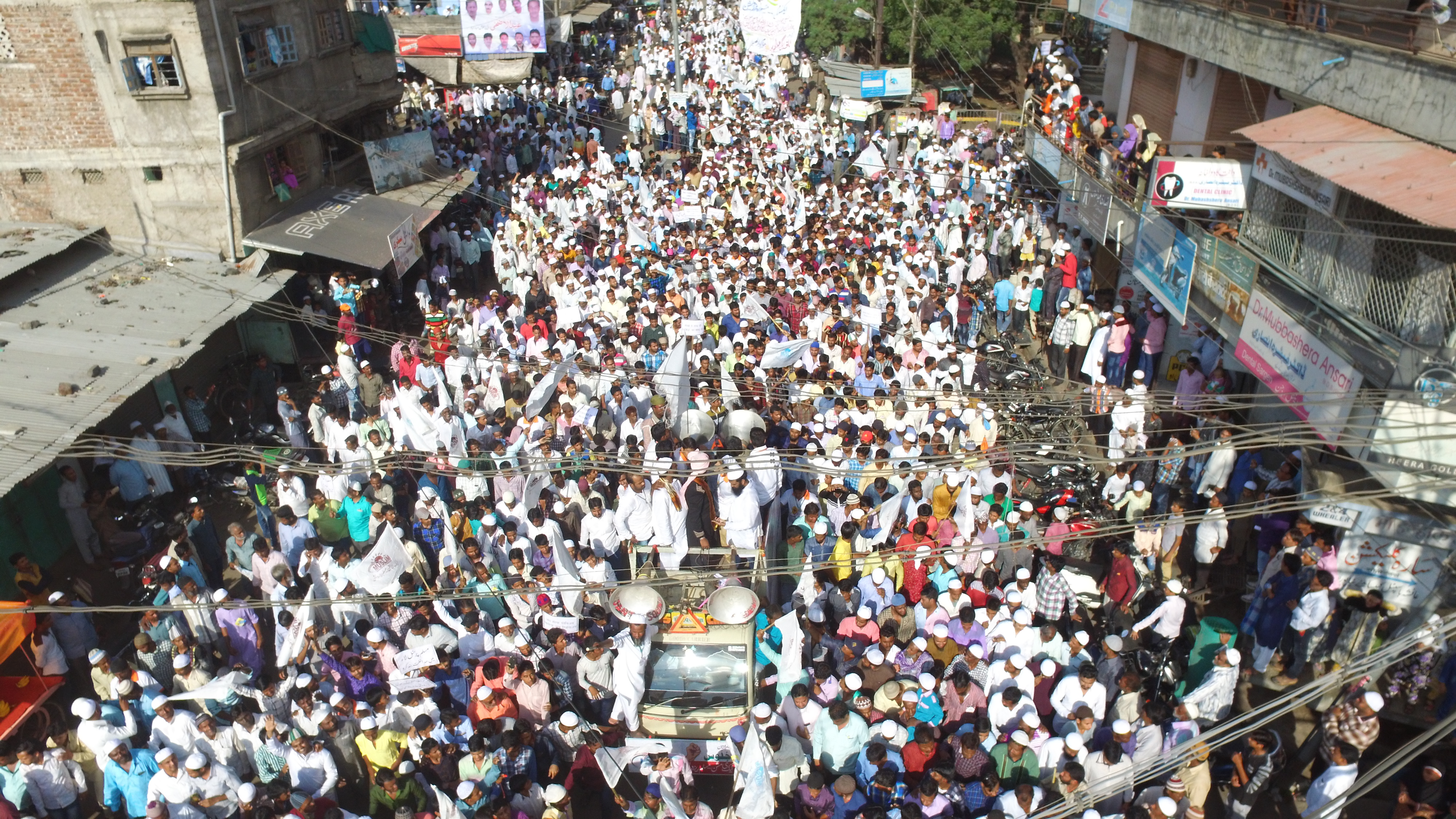
One Lakh people marched in Malegaon demanding reservation for Muslims
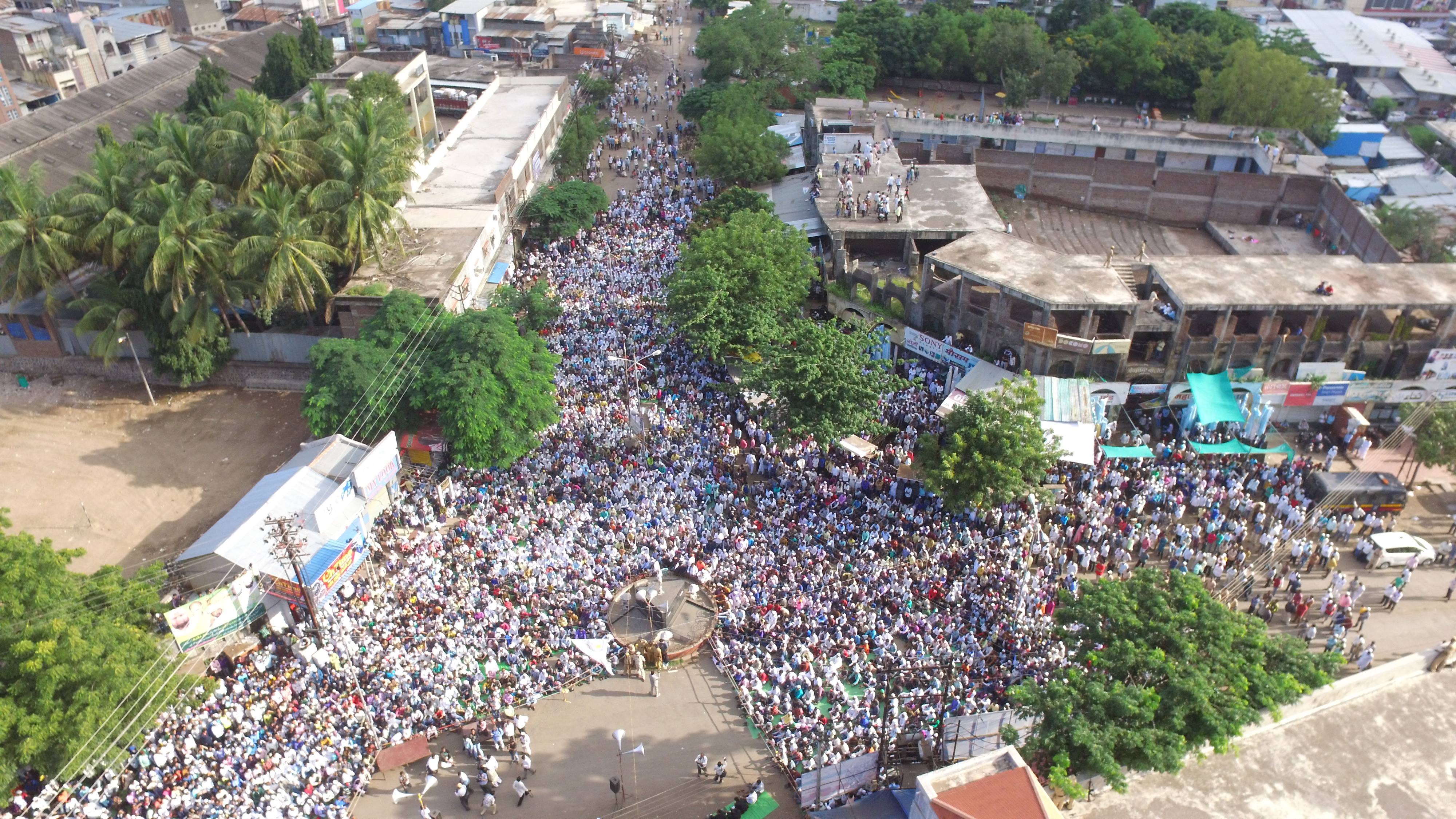
One Lakh people marched in Malegaon demanding reservation for Muslims
Topographic Map of Malegaon, Maharashtra, India
Find elevation by address:

Places near Malegaon, Maharashtra, India:
M B Sugar & Phamaceuticals Ltd
Bardiya Nagar
Manmad
Deola
Chandwad
Tankai Fort
Ankai Fort
Dasana Baglan Bus Stop
Dasane
Sakri
Kalwan
Yeola
Dhodap Fort
Yeola Range Forest Office
Angangaon
Bhawade
Vade Digar
Haranbari Dam
Kadyachamala
Parshuram Temple
Recent Searches:
- Elevation of Corso Fratelli Cairoli, 35, Macerata MC, Italy
- Elevation of Tallevast Rd, Sarasota, FL, USA
- Elevation of 4th St E, Sonoma, CA, USA
- Elevation of Black Hollow Rd, Pennsdale, PA, USA
- Elevation of Oakland Ave, Williamsport, PA, USA
- Elevation of Pedrógão Grande, Portugal
- Elevation of Klee Dr, Martinsburg, WV, USA
- Elevation of Via Roma, Pieranica CR, Italy
- Elevation of Tavkvetili Mountain, Georgia
- Elevation of Hartfords Bluff Cir, Mt Pleasant, SC, USA