Elevation map of Malatya, Turkey
Location: Turkey >
Longitude: 37.9536298
Latitude: 38.4015057
Elevation: 1333m / 4373feet
Barometric Pressure: 86KPa
Elevation Map:
Satellite Map:
Related Photos:

Karahan Gecidi

malatya cycling tour
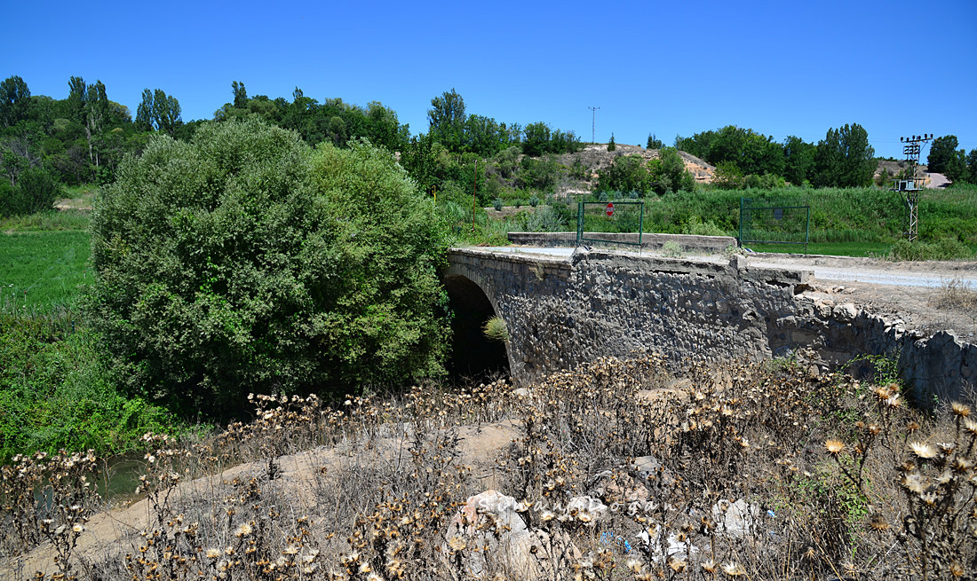
Tarihi Sultansuyu Köprüsü
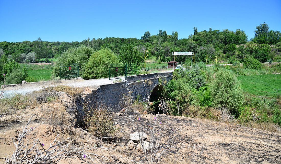
Tarihi Sultansuyu Köprüsü

Acil çıkış dediler????geldik Artık bana emanetsiniz #boeing737 #boeing #anadolujet #thy

Uçuş güvenliği önemli✈️

#malatya #fotokamp

Play around

Checking nail polish...hmmm

Popup breakfast

Türkiye Cumhuriyeti Burada!

Danube to Euphrates

Danube to Euphrates

Danube to Euphrates

Danube to Euphrates
Danube to Euphrates

Danube to Euphrates

Karahan Gecidi

Karahan Gecidi
Topographic Map of Malatya, Turkey
Find elevation by address:

Places in Malatya, Turkey:
Places near Malatya, Turkey:
Recent Searches:
- Elevation of Corso Fratelli Cairoli, 35, Macerata MC, Italy
- Elevation of Tallevast Rd, Sarasota, FL, USA
- Elevation of 4th St E, Sonoma, CA, USA
- Elevation of Black Hollow Rd, Pennsdale, PA, USA
- Elevation of Oakland Ave, Williamsport, PA, USA
- Elevation of Pedrógão Grande, Portugal
- Elevation of Klee Dr, Martinsburg, WV, USA
- Elevation of Via Roma, Pieranica CR, Italy
- Elevation of Tavkvetili Mountain, Georgia
- Elevation of Hartfords Bluff Cir, Mt Pleasant, SC, USA