Elevation of Main St, Waltonville, IL, USA
Location: United States > Illinois > Jefferson County > Elk Prairie Township > Waltonville >
Longitude: -89.038606
Latitude: 38.2090103
Elevation: 140m / 459feet
Barometric Pressure: 100KPa
Elevation Map:
Satellite Map:
Related Photos:
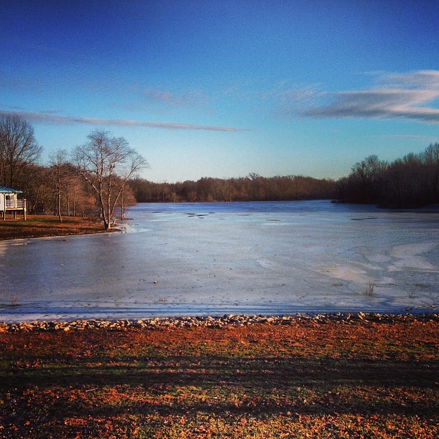
View outside our cabin at Rend Lake

619.jpg

602.jpg

Ben & Jenna's Wedding

August 18, 2012

August 18, 2012
What we saw on our Thanksgiving trot
Illinois, Jefferson County

314.jpg
Illinois, Jefferson County
Illinois, Jefferson County

Illinois, Jefferson County

Illinois, Jefferson County

MOGA 2011 261.JPG
MOGA 2011 258.JPG

MOGA 2011 229.JPG
Topographic Map of Main St, Waltonville, IL, USA
Find elevation by address:

Places near Main St, Waltonville, IL, USA:
Waltonville
Mcclellan Township
Bald Hill Township
Elk Prairie Township
Scheller
IL-, Scheller, IL, USA
E Jefferson Pl, Nason, IL, USA
Nason
N Nason Ln, Mt Vernon, IL, USA
Woodlawn
N Panzier Ln, Woodlawn, IL, USA
Casner Township
W 3rd St, Bonnie, IL, USA
Bonnie
203 N Oak St
1204 Plum Ave
Ina
Shiloh Township
E Bethel Rd, Mt Vernon, IL, USA
Du Bois Township
Recent Searches:
- Elevation of Corso Fratelli Cairoli, 35, Macerata MC, Italy
- Elevation of Tallevast Rd, Sarasota, FL, USA
- Elevation of 4th St E, Sonoma, CA, USA
- Elevation of Black Hollow Rd, Pennsdale, PA, USA
- Elevation of Oakland Ave, Williamsport, PA, USA
- Elevation of Pedrógão Grande, Portugal
- Elevation of Klee Dr, Martinsburg, WV, USA
- Elevation of Via Roma, Pieranica CR, Italy
- Elevation of Tavkvetili Mountain, Georgia
- Elevation of Hartfords Bluff Cir, Mt Pleasant, SC, USA