Elevation of Main St, Orleans, MA, USA
Location: United States > Massachusetts > Barnstable County > Orleans Town > Orleans >
Longitude: -69.965326
Latitude: 41.7848006
Elevation: 10m / 33feet
Barometric Pressure: 101KPa
Elevation Map:
Satellite Map:
Related Photos:

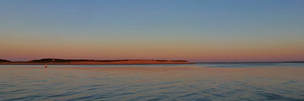
Sunset View from the Chairs II

Sunrise Cape Cod - Massachusetts
Stage Harbor Channel

Fog With A Bit Of Color

Nauset Light - Eastham - Cape Cod

Rise and Shine
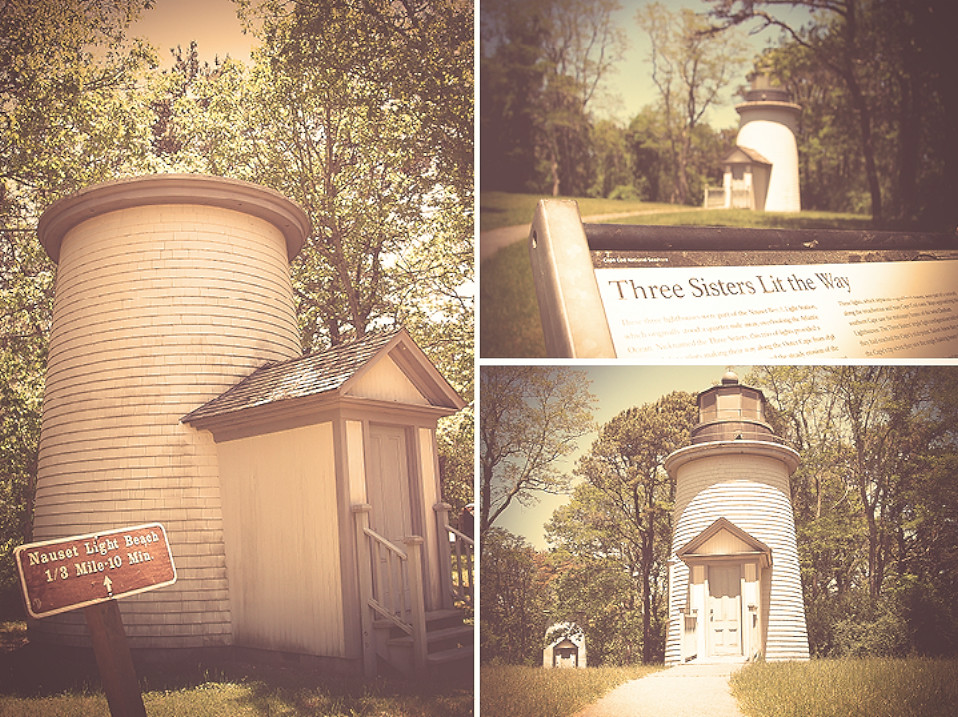
three sisters lit the way e3

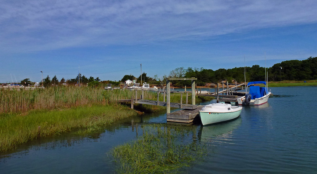
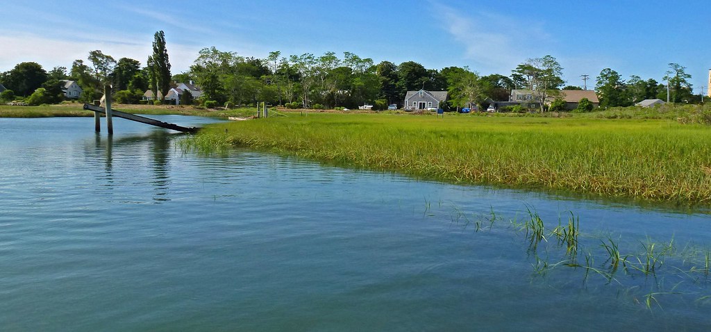
Mill Pond

Linger By The Beach - Explored 3/6/13

Linger View

Marsh View at Sunset

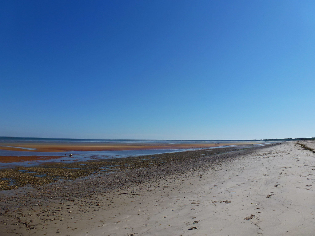
Beach View

Linger By The Shore
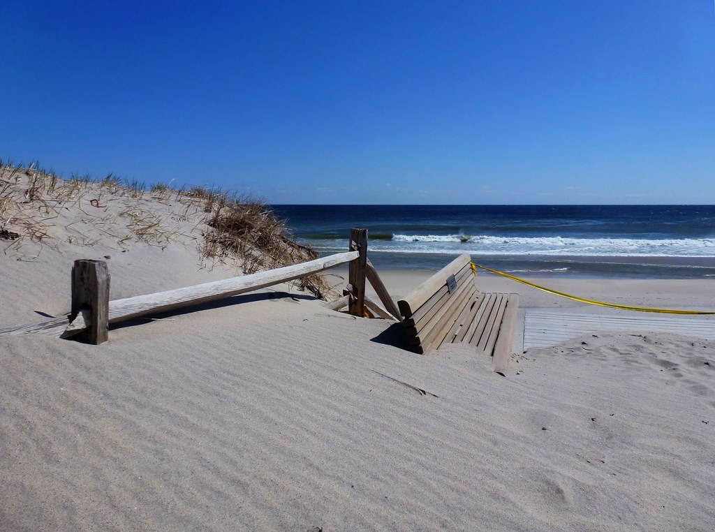
Sand Covered

Sunset Beach View

Sunset By The Dunes

The Path to Stage Harbor Lighthouse
Rock Harbor View

Walk The Pier To The Fog

Storm Damage
Rock Harbor View

Brewster Grist Mill Cape Cod

Trotting Down The Beach

Herring Run - Brewster

Sunset by The Rocks - Explored 3 - 2- 2013

Rock Harbor Creek Breakwater

Days End
Blue Skies

Gone Part I

Paines Creek
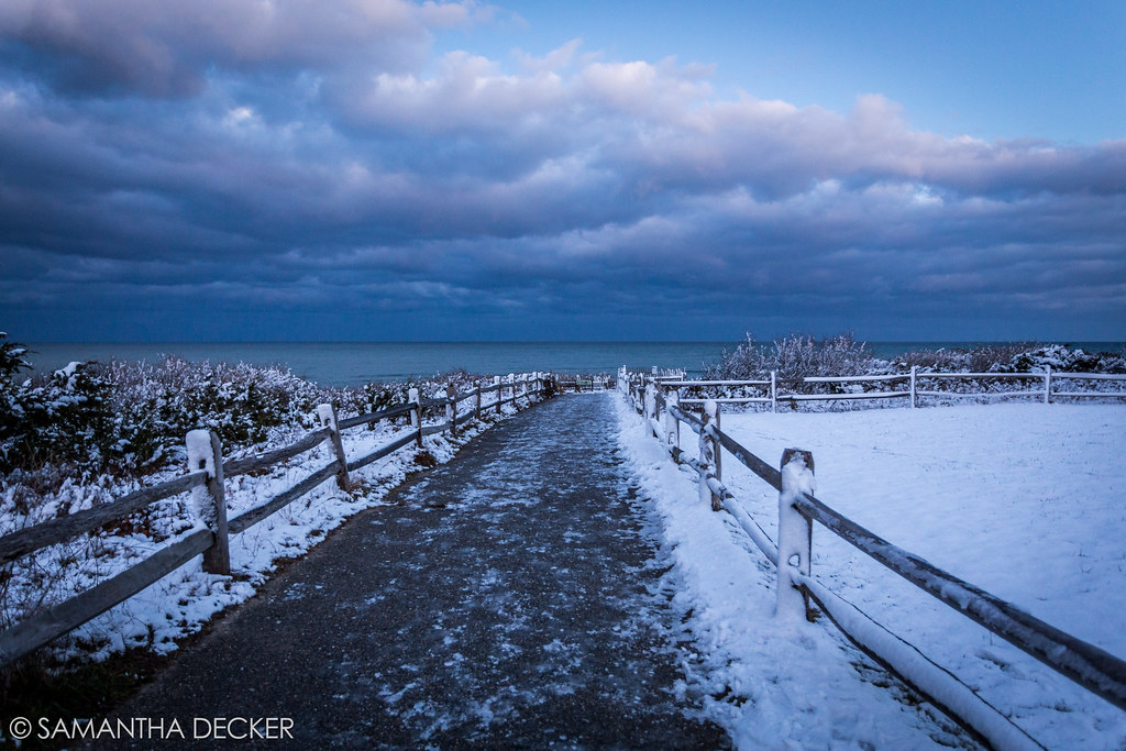
The Desolate Path to the Ocean

Seaside Sunset

Rock Harbor Silhouette

Sunset at First Encounter Beach

Over the Horizon

Sunset Layers
Topographic Map of Main St, Orleans, MA, USA
Find elevation by address:

Places near Main St, Orleans, MA, USA:
1 Beach Rd
10 Cheney Rd
51 Great Oak Rd
200 Main St
27 Beach Rd
East Orleans
45 Chickadee Ln
44 Chickadee Ln
46 Chickadee Ln
67 River Rd
16 Blake Ln
6 Apple Way
6 Apple Way
67 Tonset Rd
Main Street
Orleans Town
2 Dromara Ln
44 Pond Rd
93 Monument Rd
1 Dromara Ln
Recent Searches:
- Elevation of Corso Fratelli Cairoli, 35, Macerata MC, Italy
- Elevation of Tallevast Rd, Sarasota, FL, USA
- Elevation of 4th St E, Sonoma, CA, USA
- Elevation of Black Hollow Rd, Pennsdale, PA, USA
- Elevation of Oakland Ave, Williamsport, PA, USA
- Elevation of Pedrógão Grande, Portugal
- Elevation of Klee Dr, Martinsburg, WV, USA
- Elevation of Via Roma, Pieranica CR, Italy
- Elevation of Tavkvetili Mountain, Georgia
- Elevation of Hartfords Bluff Cir, Mt Pleasant, SC, USA