Elevation of Main St, Gregory, SD, USA
Location: United States > South Dakota > Gregory County > Gregory >
Longitude: -99.430700
Latitude: 43.2325156
Elevation: 661m / 2169feet
Barometric Pressure: 94KPa
Elevation Map:
Satellite Map:
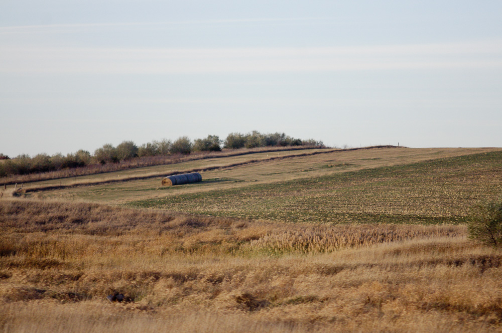
Related Photos:

20101031-IMGP1419.jpg

20101028-IMGP1142.jpg
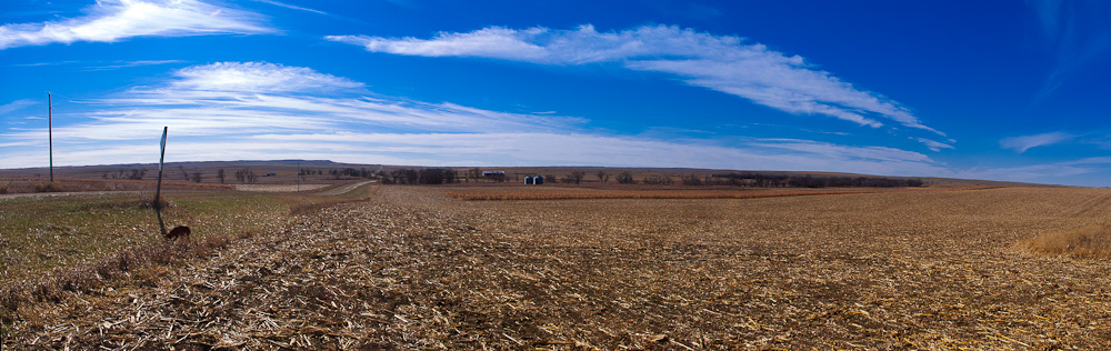
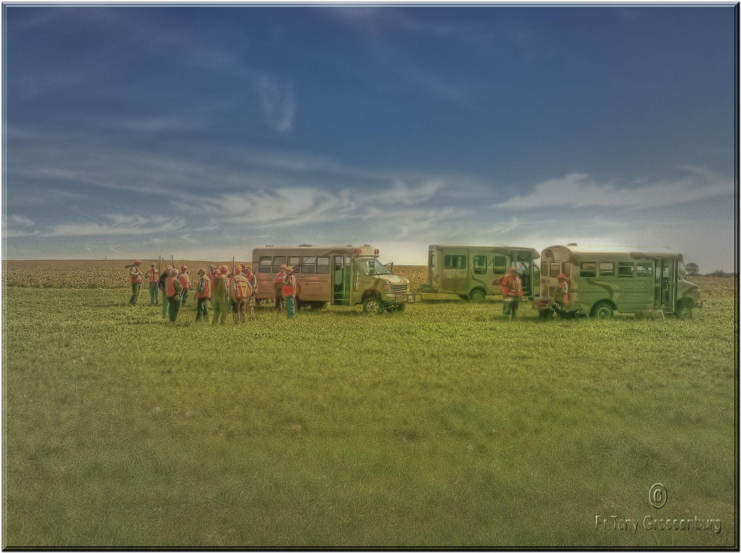
pano.jpg

20101031-IMGP1417.jpg
20101028-IMGP1166.jpg

20101031-IMGP1416.jpg

20101030-IMGP1371.jpg
20101028-IMGP1148.jpg
20101031-IMGP1422.jpg

20101028-IMGP1151.jpg
20101028-IMGP1155.jpg

20101031-IMGP1415.jpg

20101031-IMGP1413.jpg
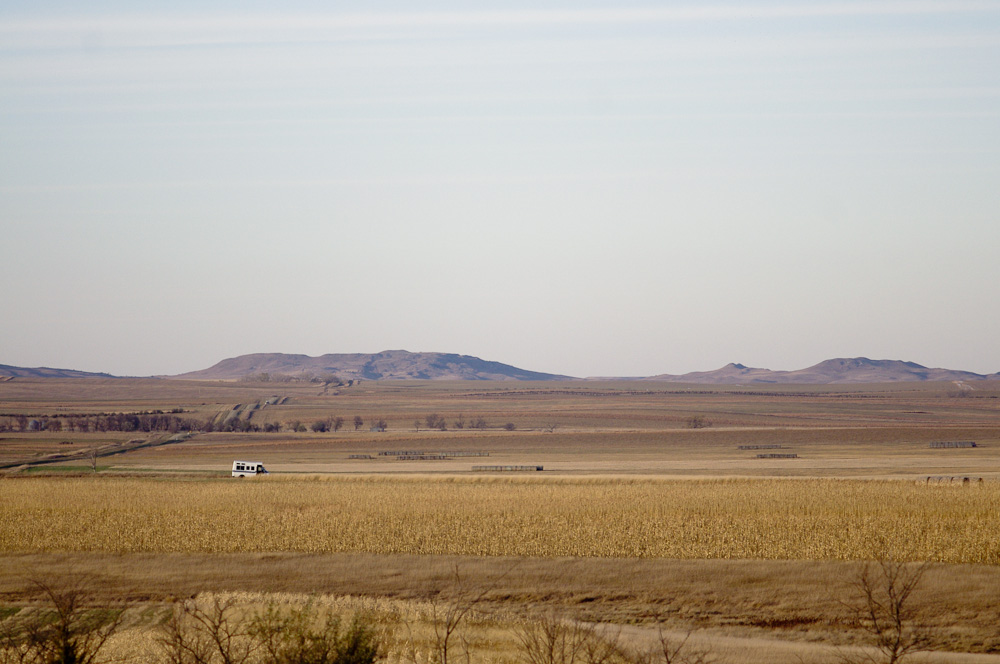
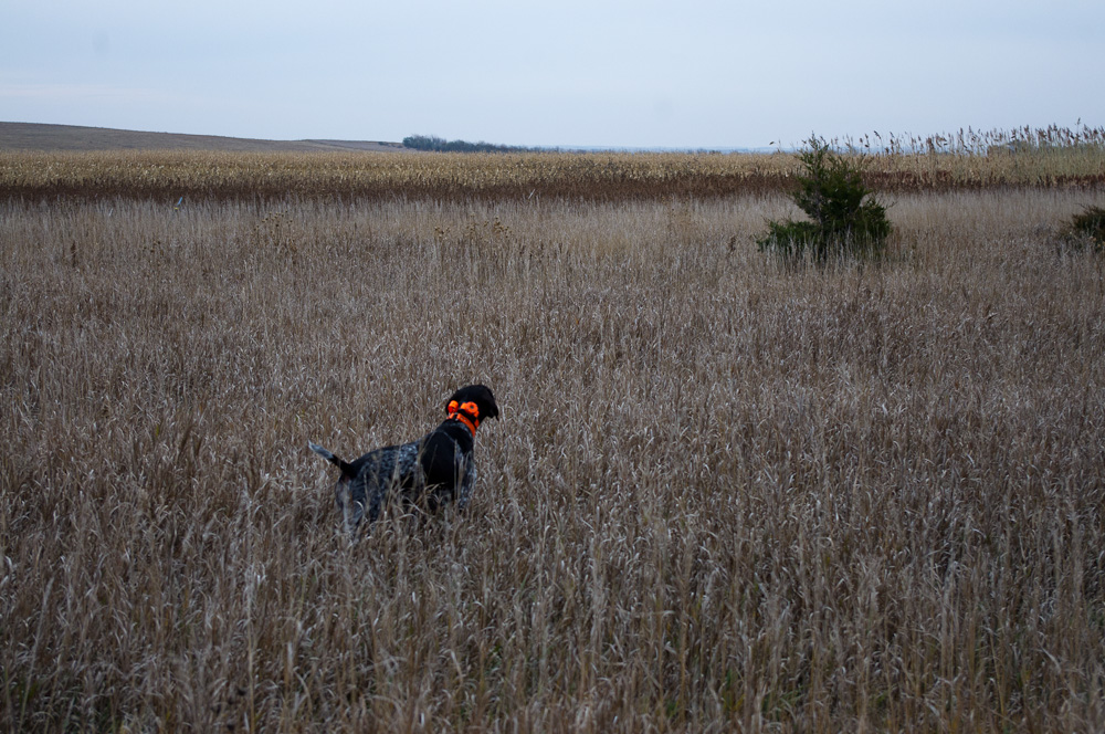
getting ready to hunt
20101029-IMGP1299.jpg

20101028-IMGP1152.jpg
20101029-IMGP1298.jpg
20101028-IMGP1158.jpg

20101031-IMGP1420.jpg
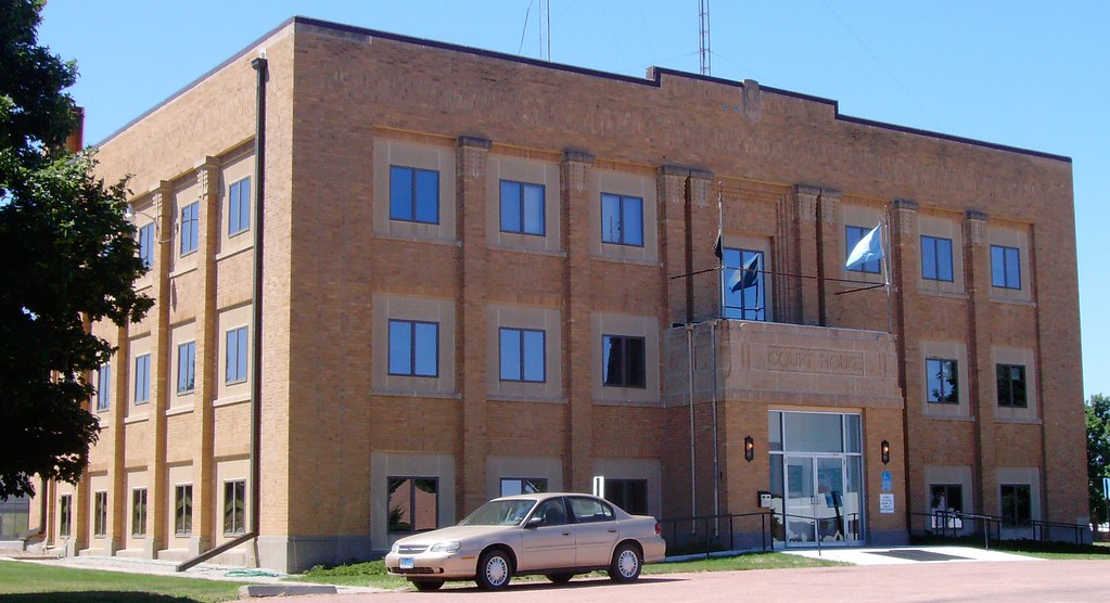
Gregory County Courthouse (Burke, South Dakota)
20101031-IMGP1412.jpg
Topographic Map of Main St, Gregory, SD, USA
Find elevation by address:

Places near Main St, Gregory, SD, USA:
Gregory
720 Felton Ave
Dallas
32951 290th St
32949 292nd St
32949 292nd St
Elliston Township
Dixon Township
North Gregory
33376 Buffalo Butte Rd
27770 Rivers Edge Pl
Colome
409 Main St
Main St, Colome, SD, USA
Stewart Township
Colome High School
408 W 6th St
Tripp County
28954 321st Ave
28346 321st Ave
Recent Searches:
- Elevation of Corso Fratelli Cairoli, 35, Macerata MC, Italy
- Elevation of Tallevast Rd, Sarasota, FL, USA
- Elevation of 4th St E, Sonoma, CA, USA
- Elevation of Black Hollow Rd, Pennsdale, PA, USA
- Elevation of Oakland Ave, Williamsport, PA, USA
- Elevation of Pedrógão Grande, Portugal
- Elevation of Klee Dr, Martinsburg, WV, USA
- Elevation of Via Roma, Pieranica CR, Italy
- Elevation of Tavkvetili Mountain, Georgia
- Elevation of Hartfords Bluff Cir, Mt Pleasant, SC, USA