Elevation of Main St, Cannelburg, IN, USA
Location: United States > Indiana > Daviess County > Barr Township > Cannelburg >
Longitude: -86.998045
Latitude: 38.669701
Elevation: 162m / 531feet
Barometric Pressure: 99KPa
Elevation Map:
Satellite Map:
Related Photos:
Washington High School - Hatchet House

Brooks Bridge (HDR)

Brooks Bridge Support

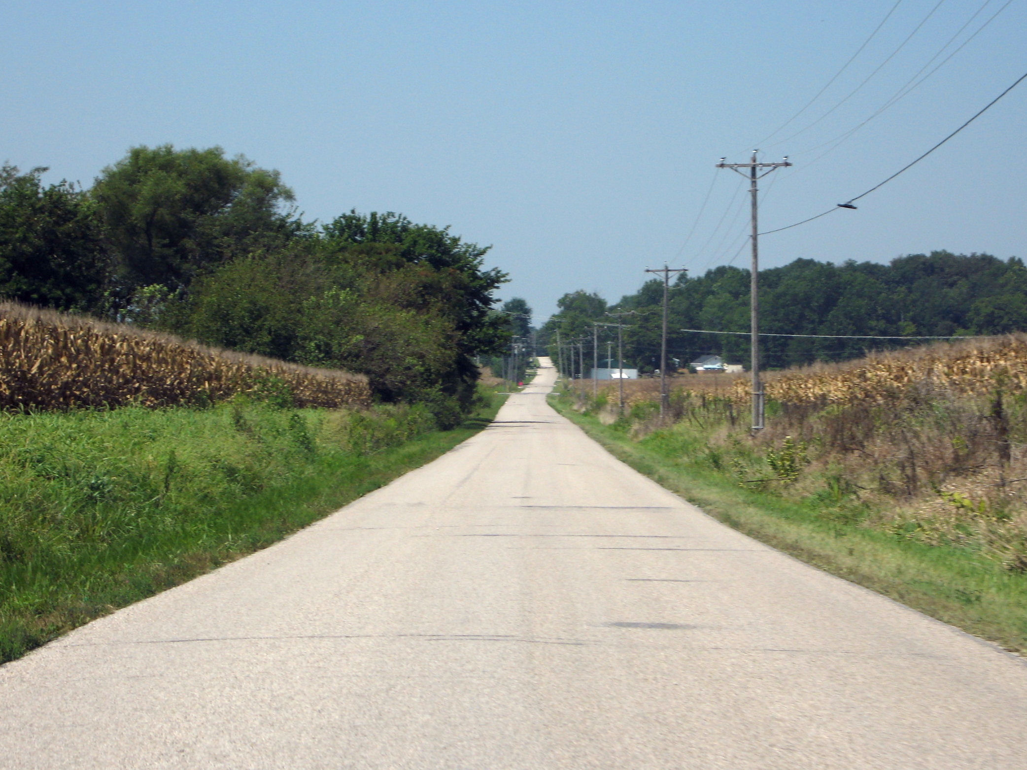
The Road
Indiana, Martin County, Mail Pouch, Kentucky Club, and Meramec Caverns (8,320-2) (18,454-2) (18,502-2)
Flats and Falls

Westbound B&O at Washington, Indiana, August of 1981

Baltimore & Ohio Railroad Depot - Washington, Indiana - 1973

Baltimore & Ohio Steam Freight Train Passing the City Power Plant Lake - Washington, Indiana - Circa 1913

EM510050.jpg

Beautiful day!
45/52 -- What Used To Be
Rural Indiana

EM110008.jpg
Loogootee, Indiana
IMG_3709.jpg

EM530152.jpg

EM510027.jpg

EM510018.jpg

EM510005.jpg

EM510004.jpg
A Storm Rolls Through - Panoramic Stitch
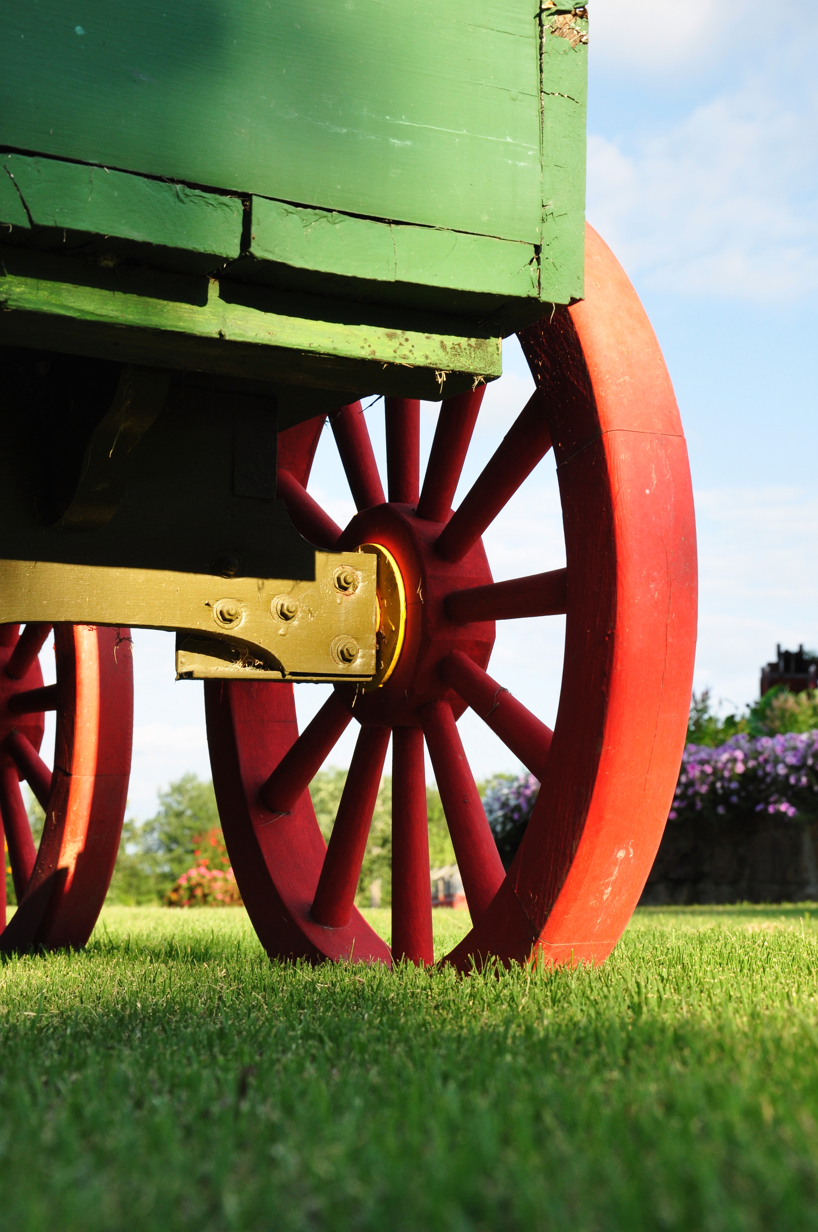
Ray's Wagon - Loogootee, Indiana

Ray's Chickens
Old US 50

stormy sky

EM540349.jpg

EM540342.jpg

EM540338.jpg
Topographic Map of Main St, Cannelburg, IN, USA
Find elevation by address:

Places near Main St, Cannelburg, IN, USA:
Cannelburg
Barr Township
US-50, Montgomery, IN, USA
Montgomery
County Rd E, Montgomery, IN, USA
Main St, Loogootee, IN, USA
Alfordsville
Reeve Township
2518 E 200 S
E S, Montgomery, IN, USA
Harrison Township
1747 Bedford Rd
Rutherford Township
The Villages At Oak Ridge
Washington
Washington Township
1801 Divine Ln
3339 Lumpkin Rd
N Co Rd E, Otwell, IN, USA
3798 Lumpkin Rd
Recent Searches:
- Elevation of Corso Fratelli Cairoli, 35, Macerata MC, Italy
- Elevation of Tallevast Rd, Sarasota, FL, USA
- Elevation of 4th St E, Sonoma, CA, USA
- Elevation of Black Hollow Rd, Pennsdale, PA, USA
- Elevation of Oakland Ave, Williamsport, PA, USA
- Elevation of Pedrógão Grande, Portugal
- Elevation of Klee Dr, Martinsburg, WV, USA
- Elevation of Via Roma, Pieranica CR, Italy
- Elevation of Tavkvetili Mountain, Georgia
- Elevation of Hartfords Bluff Cir, Mt Pleasant, SC, USA