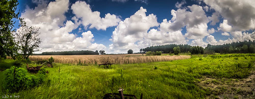
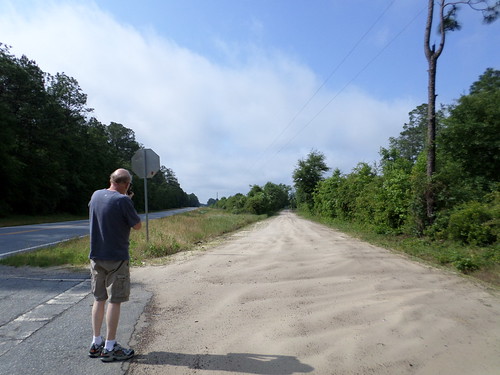
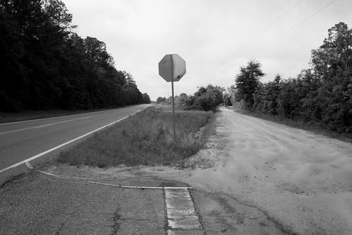
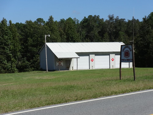
Elevation of Main St, Cadwell, GA, USA
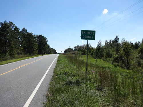
Location: United States > Georgia > Laurens County > Cadwell >
Longitude: -83.041593
Latitude: 32.3400996
Elevation: 112m / 367feet
Barometric Pressure: 100KPa
Related Photos:
Topographic Map of Main St, Cadwell, GA, USA
Find elevation by address:

Places near Main St, Cadwell, GA, USA:
Cadwell
Soperton Hwy, Eastman, GA, USA
9 Lovely Grove Church Rd, Eastman, GA, USA
Eastman
US-23, Eastman, GA, USA
Eastman Cochran Hwy, Eastman, GA, USA
Gresston
Gresston Baptist Rd, Eastman, GA, USA
118 Garrison Dr
Chauncey
Robert Rozier Road
767 Hardy Rd
Empire
Church St, Cochran, GA, USA
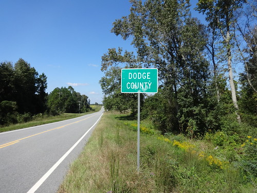
Dodge County
Log Cabin Road
2764 Milan-chauncey Rd
Railroad Street
Lee Street
Milan
Recent Searches:
- Elevation of Corso Fratelli Cairoli, 35, Macerata MC, Italy
- Elevation of Tallevast Rd, Sarasota, FL, USA
- Elevation of 4th St E, Sonoma, CA, USA
- Elevation of Black Hollow Rd, Pennsdale, PA, USA
- Elevation of Oakland Ave, Williamsport, PA, USA
- Elevation of Pedrógão Grande, Portugal
- Elevation of Klee Dr, Martinsburg, WV, USA
- Elevation of Via Roma, Pieranica CR, Italy
- Elevation of Tavkvetili Mountain, Georgia
- Elevation of Hartfords Bluff Cir, Mt Pleasant, SC, USA
