Elevation of Mahasamund, Chhattisgarh, India
Location: India > Chhattisgarh >
Longitude: 82.095962
Latitude: 21.1124067
Elevation: 299m / 981feet
Barometric Pressure: 98KPa
Elevation Map:
Satellite Map:
Related Photos:
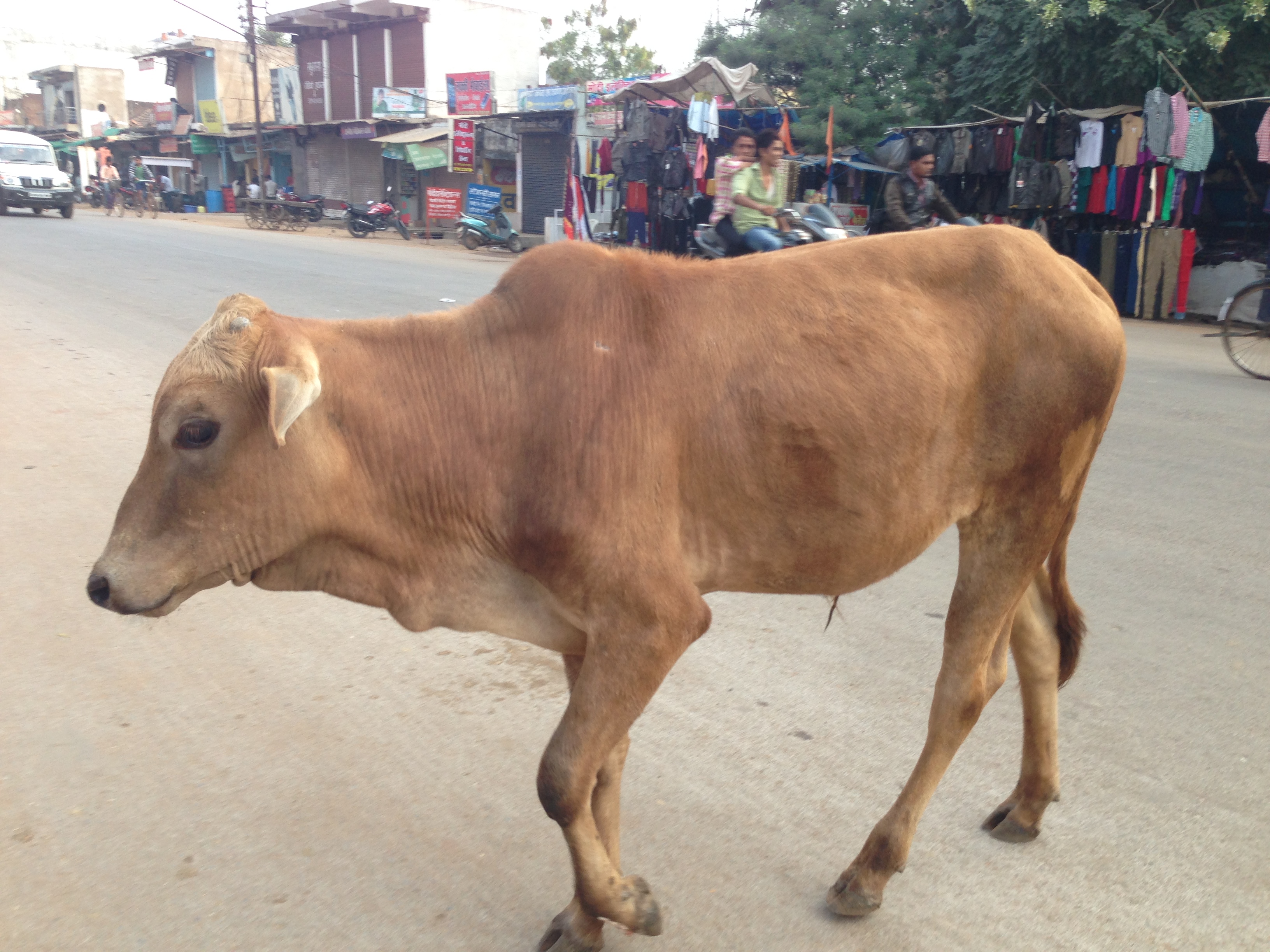
Good Morning India! May the cows bless you today
Topographic Map of Mahasamund, Chhattisgarh, India
Find elevation by address:

Places near Mahasamund, Chhattisgarh, India:
Sirpur
Chhattisgarh
Raipur
Ramchandi
Swami Vivekananda Airport
Indira Gandhi Agricultural University
Palari
Amlihdih
Mowa
Raipur
Barnawapara Forest Range
Baloda Bazar
89/3
Kasdol
Baloda Bazar
Bhatapara
Chhattisgarh, India
Janjgir-champa
National Highway Roadways
Bilaspur
Recent Searches:
- Elevation of Corso Fratelli Cairoli, 35, Macerata MC, Italy
- Elevation of Tallevast Rd, Sarasota, FL, USA
- Elevation of 4th St E, Sonoma, CA, USA
- Elevation of Black Hollow Rd, Pennsdale, PA, USA
- Elevation of Oakland Ave, Williamsport, PA, USA
- Elevation of Pedrógão Grande, Portugal
- Elevation of Klee Dr, Martinsburg, WV, USA
- Elevation of Via Roma, Pieranica CR, Italy
- Elevation of Tavkvetili Mountain, Georgia
- Elevation of Hartfords Bluff Cir, Mt Pleasant, SC, USA