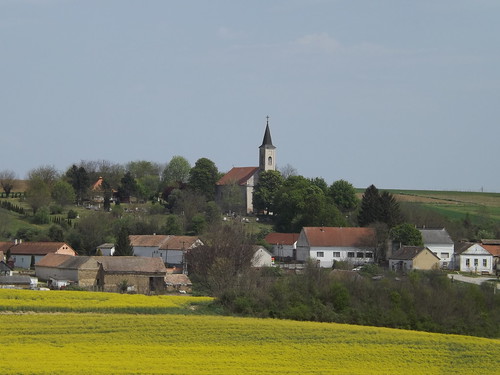
Elevation of Magyarbóly, Hungary
Location: Hungary >
Longitude: 18.4905328
Latitude: 45.8424536
Elevation: 96m / 315feet
Barometric Pressure: 100KPa
Related Photos:
Topographic Map of Magyarbóly, Hungary
Find elevation by address:

Places near Magyarbóly, Hungary:
Villány
Općina Beli Manastir
Beli Manastir
Siklósi
Mohács
Općina Draž
Osijek-baranja County
Zmajevac
Općina Kneževi Vinogradi
Osijek
Batina
Osijek Oblast
Hidas, Kossuth Lajos u. 46, Hungary
Bátaszék
Općina Šodolovci
Šodolovci
Općina Viškovci
Forkuševci
Ul. Stjepana Radića 78, Forkuševci, Croatia
Ul. kralja Zvonimira, Vinkovci, Croatia
Recent Searches:
- Elevation of Corso Fratelli Cairoli, 35, Macerata MC, Italy
- Elevation of Tallevast Rd, Sarasota, FL, USA
- Elevation of 4th St E, Sonoma, CA, USA
- Elevation of Black Hollow Rd, Pennsdale, PA, USA
- Elevation of Oakland Ave, Williamsport, PA, USA
- Elevation of Pedrógão Grande, Portugal
- Elevation of Klee Dr, Martinsburg, WV, USA
- Elevation of Via Roma, Pieranica CR, Italy
- Elevation of Tavkvetili Mountain, Georgia
- Elevation of Hartfords Bluff Cir, Mt Pleasant, SC, USA


