Elevation of Maggies Ct, Boonsboro, MD, USA
Location: United States > Maryland > Washington County > 6, Boonsboro > Boonsboro >
Longitude: -77.69456
Latitude: 39.554859
Elevation: 159m / 522feet
Barometric Pressure: 99KPa
Elevation Map:
Satellite Map:
Related Photos:
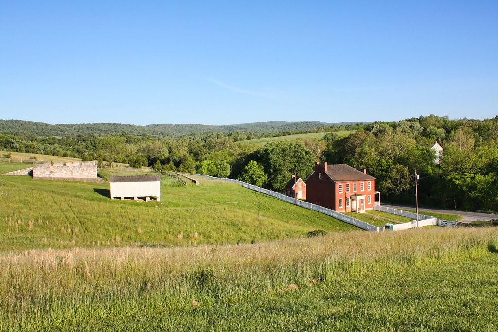
Sherrick Farm
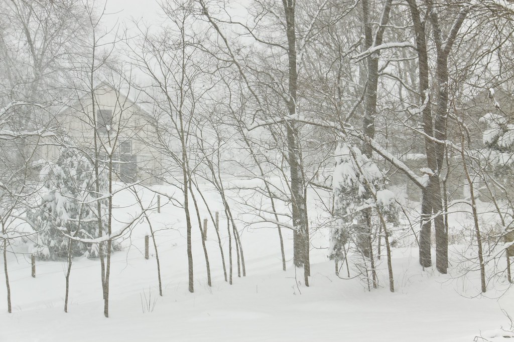
Today's Obligatory Snow Picture
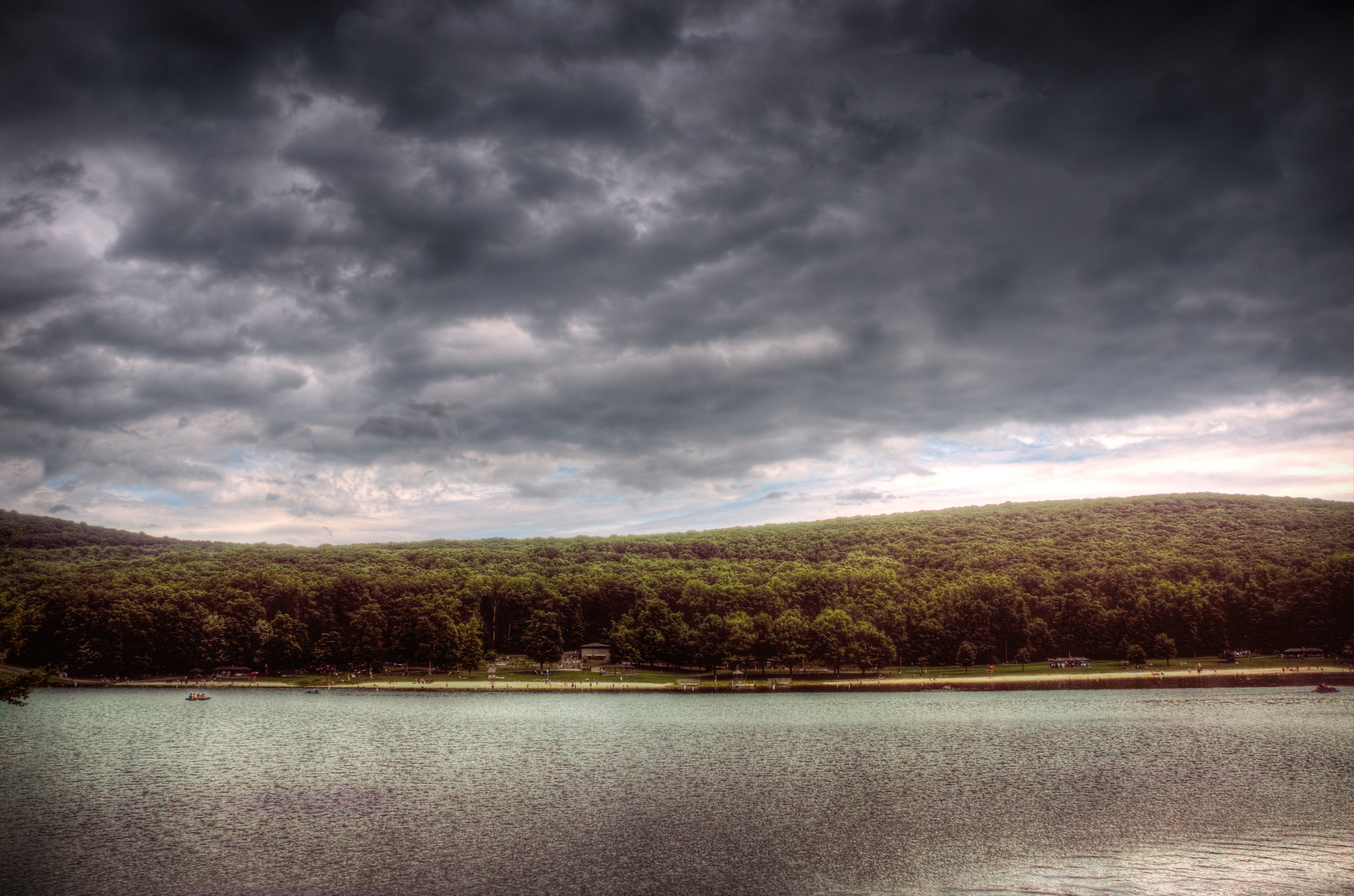
Greenbriar Lake

Greenbriar Lake

CCLO_2015-02-01_ChewsvilleRd_0212C
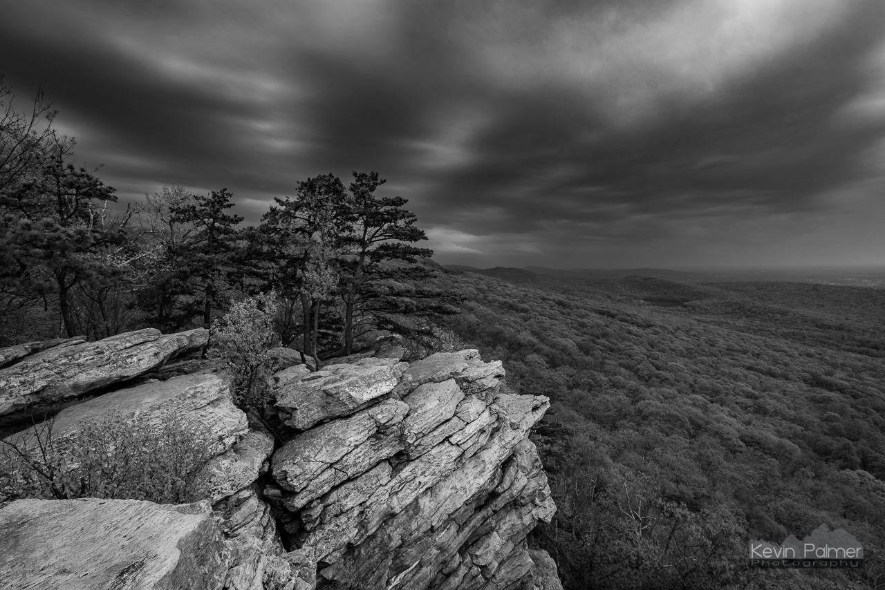
Dark Cloud Dusk B&W

Appalachian Trail in Maryland
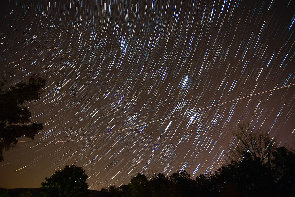
OMG, it's full of stars!

The Appalachian Trail in Maryland

Appalachian Trail - Black Rock (Maryland) Sunset
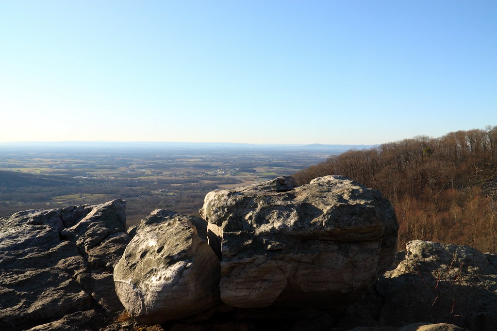
Annapolis Rocks

Chestnut-collared Longspur
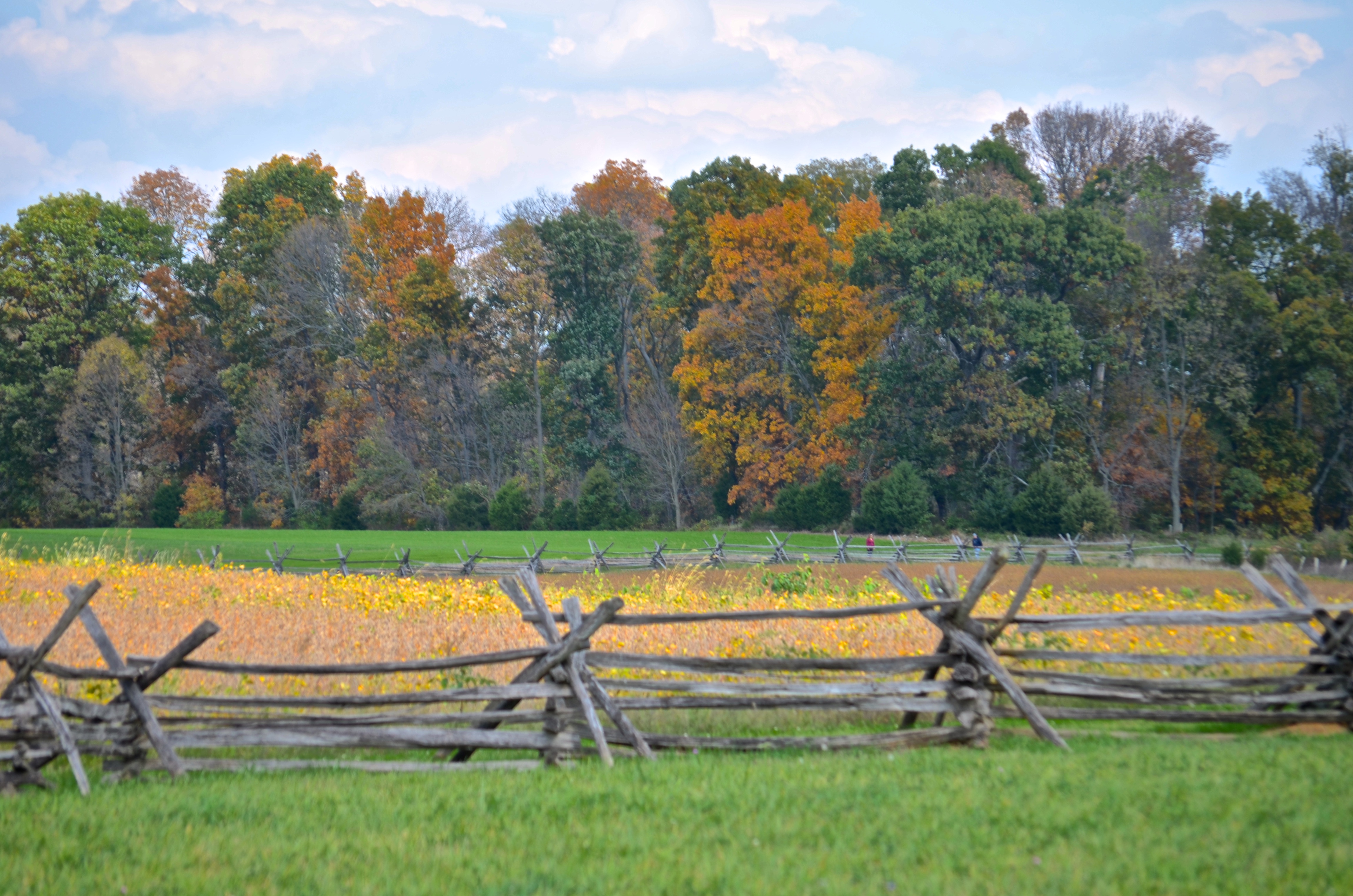
Cornfield, Antietam, rail fence
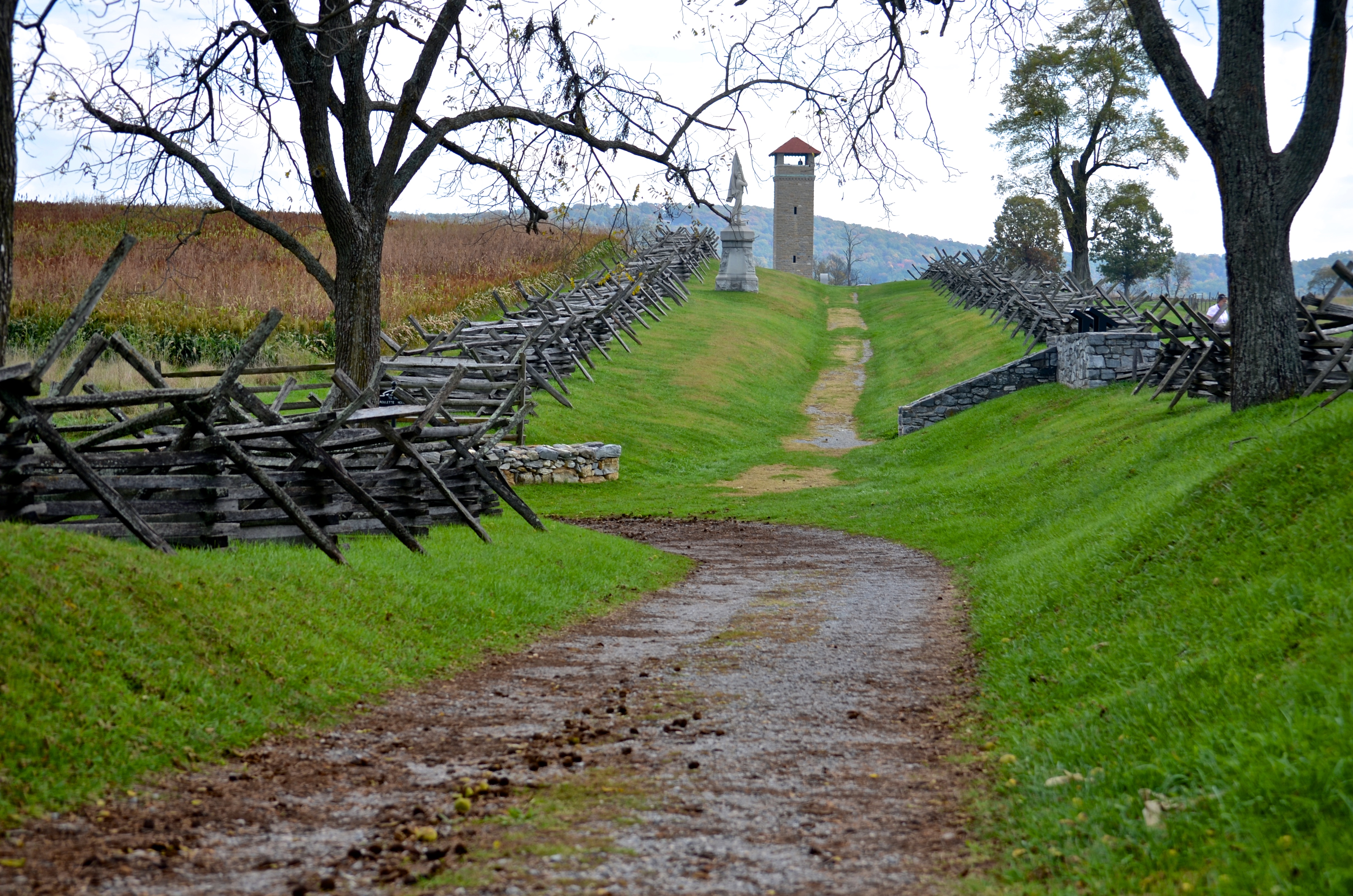
Bloody Lane, Antietam
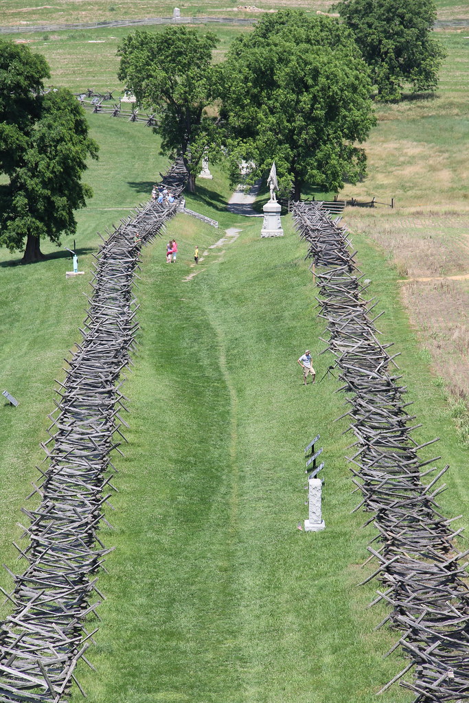
Antietam National Battlefield - View of Bloody Lane from the Observation Tower

_RWB6124.jpg
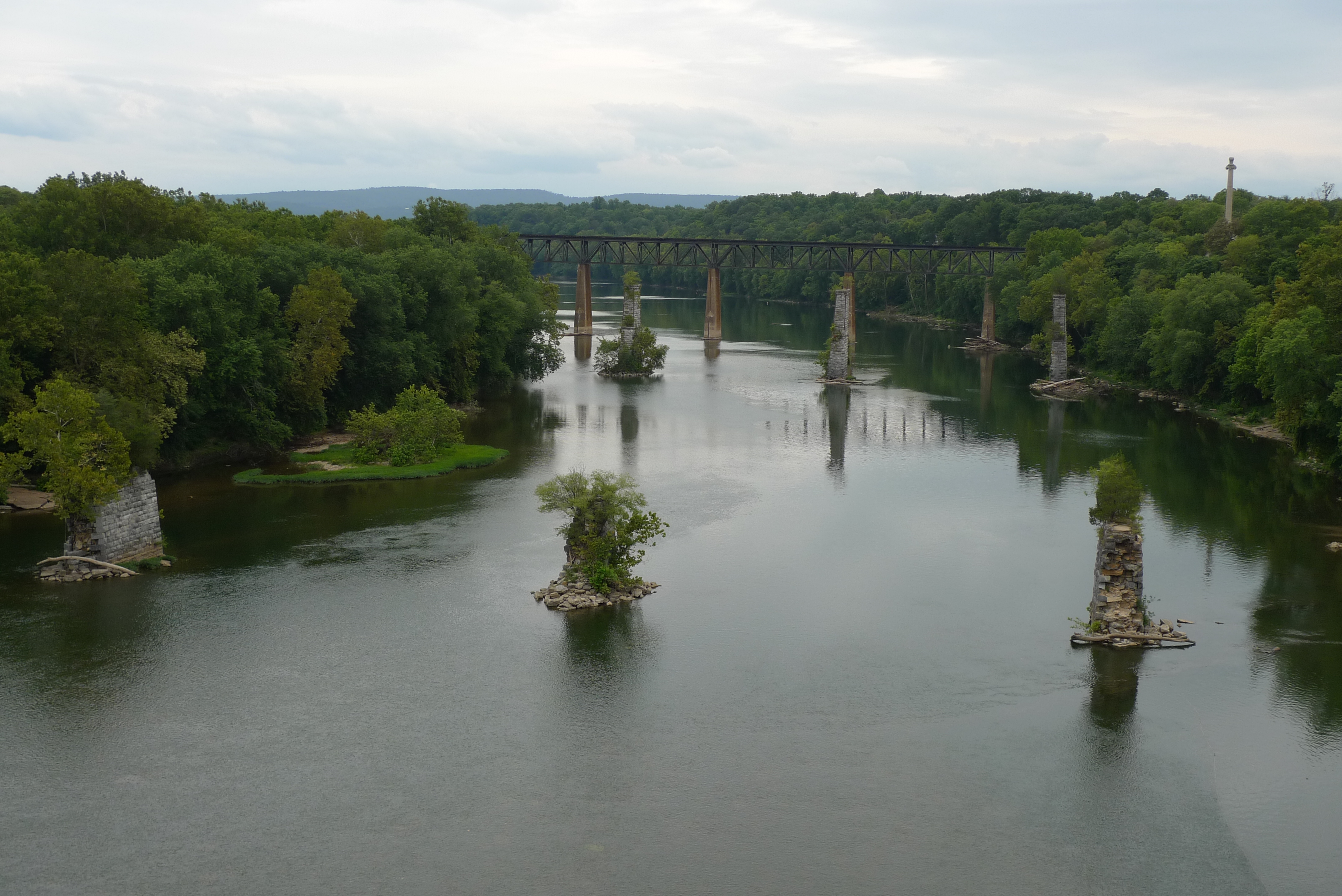
view from the James Rumsey (Sheperdstown Pike) Bridge
View out another window
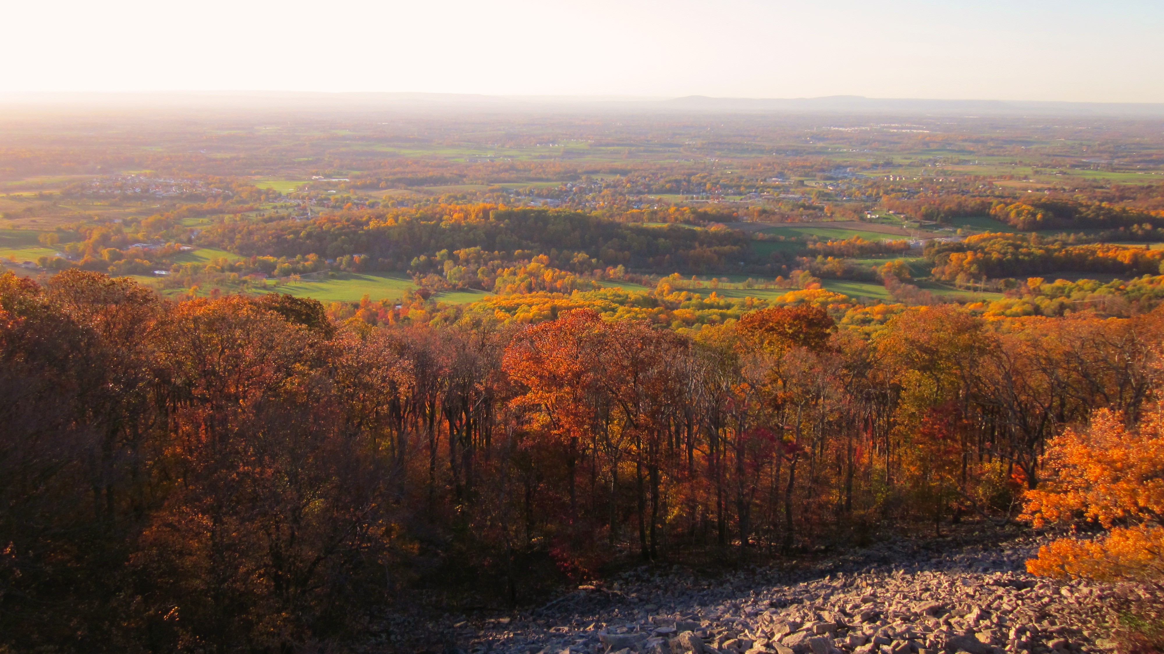
Afternoon view from the Washington Monument on South Mountain, Maryland

_RWB6215-Edit-Edit-2-Edit-Edit.jpg
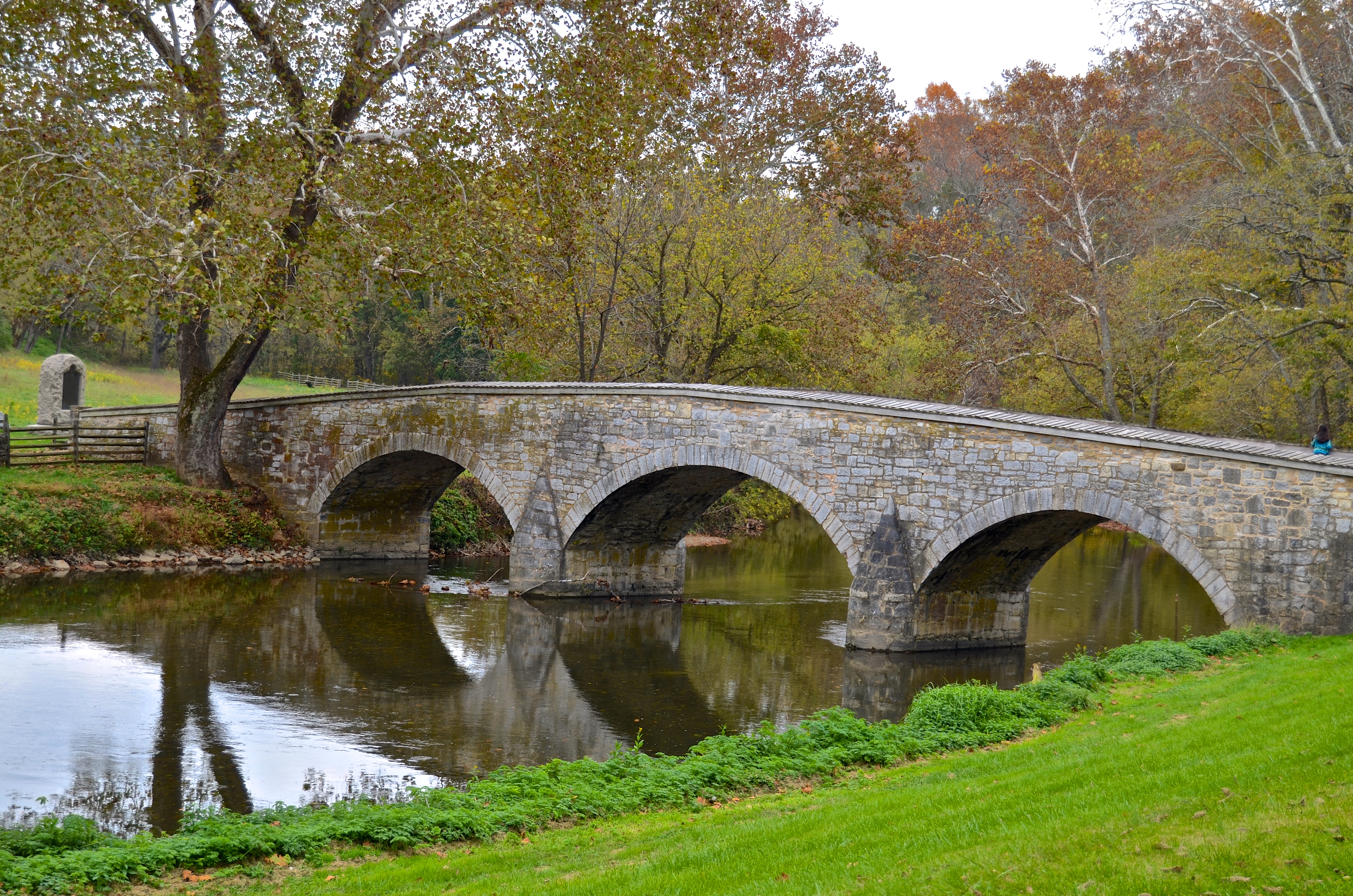
Burnside's Bridge, Antietam Creek
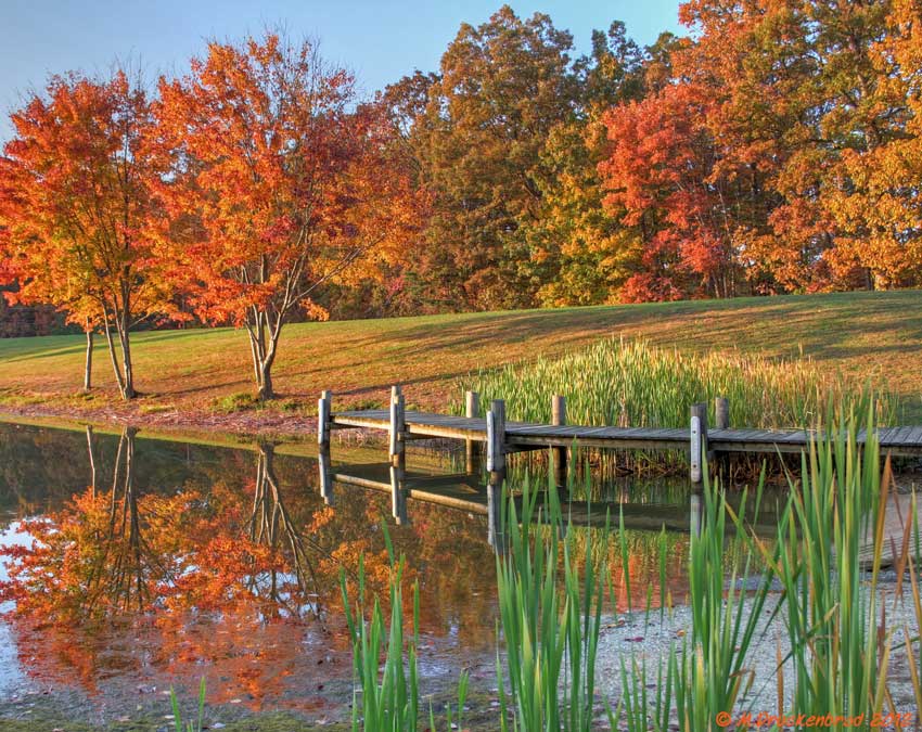
Fall reflections

A lakefront gazebo overlooking Greenbrier Lake
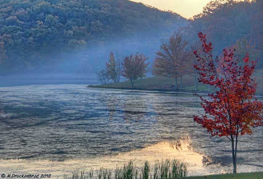
Sundown over Greenbrier Lake at Greenbrier State Park, Maryland
{314/365} Closed for the season
0012 C&O Canal Towpath, MD

Greenbrier Lake, Boonsboro Maryland
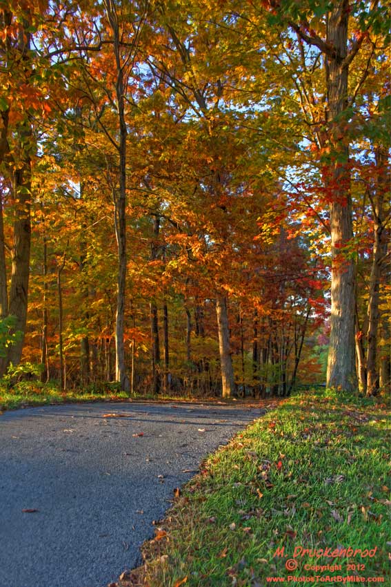
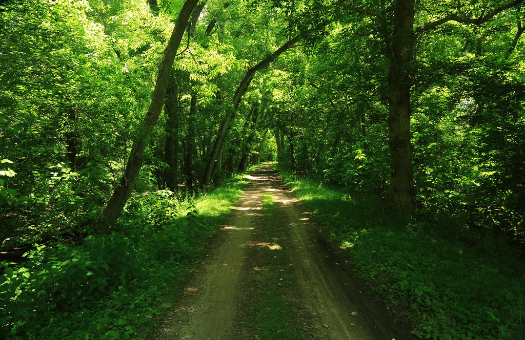
An Autumn Drive

Cornfield, Antietam, September 17, 1862
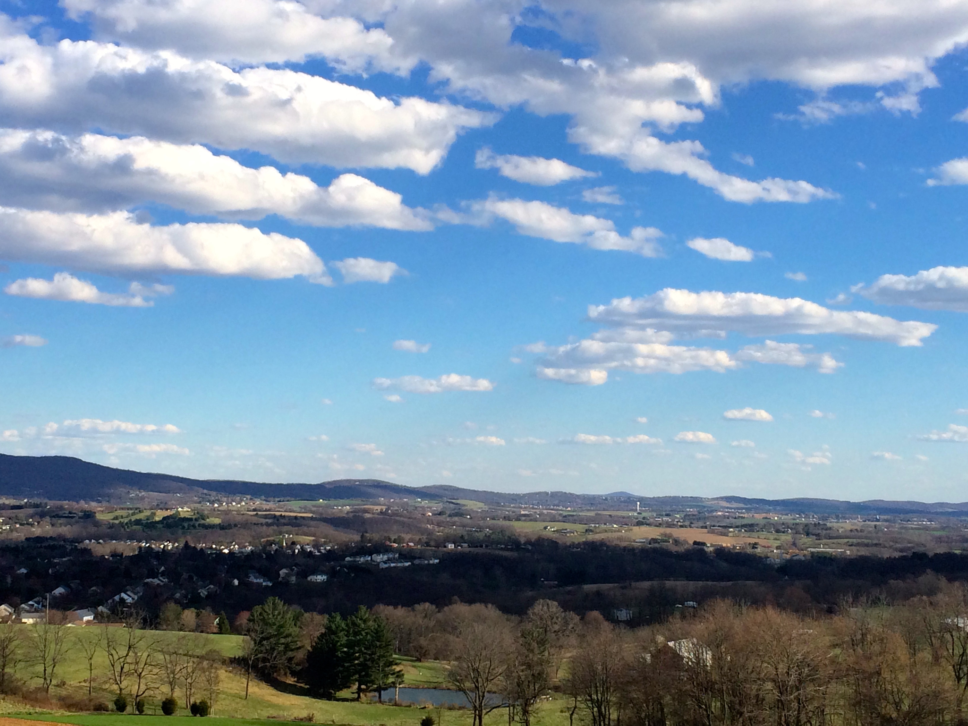
Myersville, Maryland, and the Middletown Valley from Canada Hill, March 2016
Country Drivin w/ @mrubee

ANTIETAM BLOODY LANE SUNDOWN

_RWB6254-Edit-Edit.jpg

Antietam Sunset

Antietam Battlefield - 2014-06-19 (16)

Antietam Battlefield - 2010-04-27 (79)
Path to the Mumma Cemetery at Antietam
Antietam Flowers

Burnside Bridge night photo, Antietam Battlefield Maryland
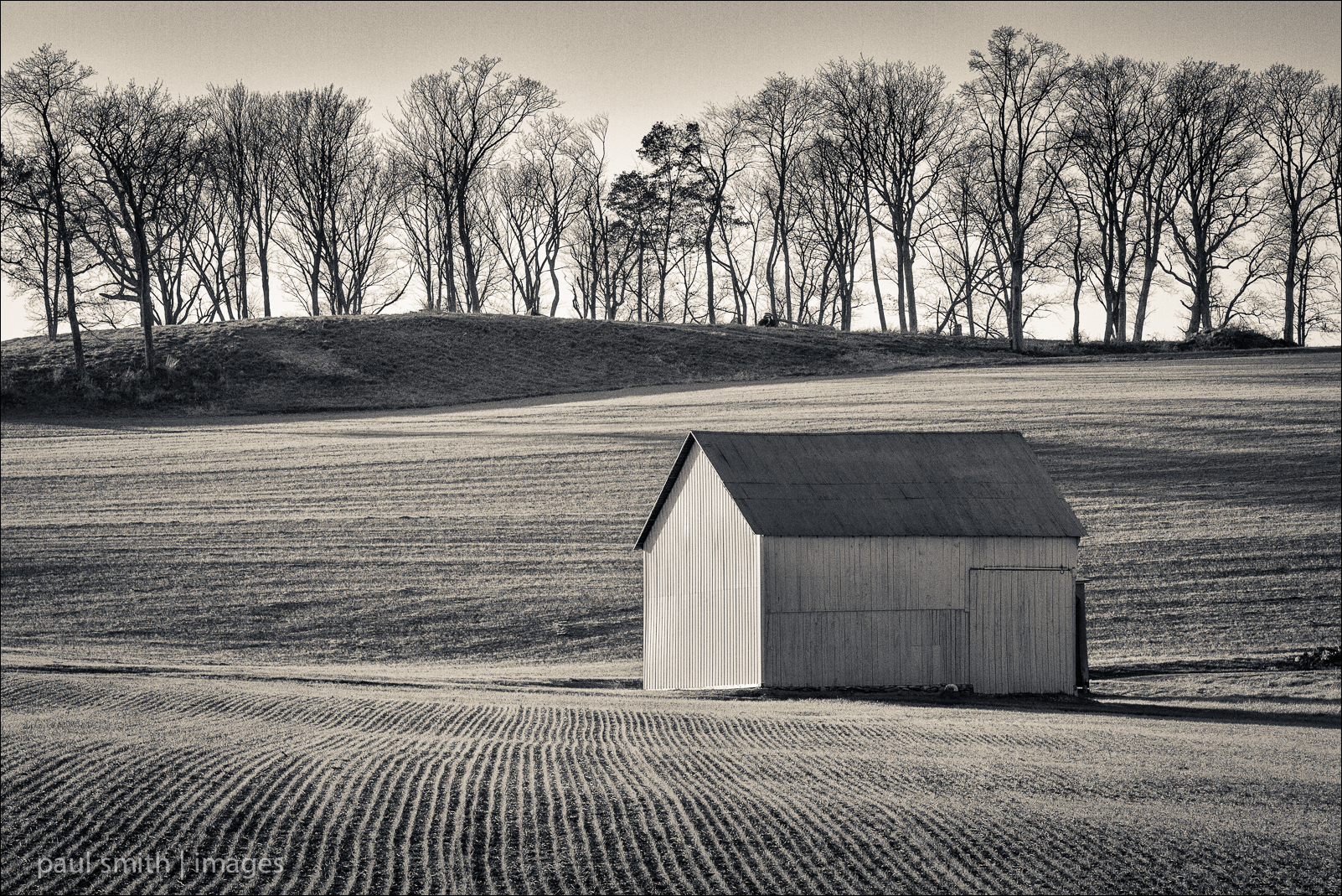
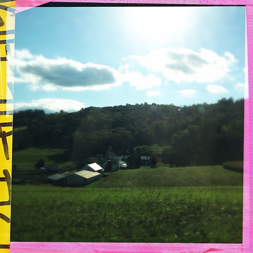
Agriculture is never far away
Agriculture is never far away II

Antietam Battlefield - 2010-04-27 (107)
Topographic Map of Maggies Ct, Boonsboro, MD, USA
Find elevation by address:

Places near Maggies Ct, Boonsboro, MD, USA:
Mapleville Rd, Hagerstown, MD, USA
2029 Windsong Dr
16, Beaver Creek
Mt Lena Rd, Boonsboro, MD, USA
Mount Lena
11409 Fawnbridge Dr
Phylane Drive
Robinwood
19922 Sheridan Ave
South Mountain State Park
18, Chewsville
Black Rock
20308 Trovinger Mill Rd
Antietam Dr, Hagerstown, MD, USA
10643 Crystal Falls Dr
Cedar Hills Dr, Hagerstown, MD, USA
Hagerstown, MD, USA
Paramount-long Meadow
Crystal Falls Dr, Smithsburg, MD, USA
12903 Mattley Dr
Recent Searches:
- Elevation of Corso Fratelli Cairoli, 35, Macerata MC, Italy
- Elevation of Tallevast Rd, Sarasota, FL, USA
- Elevation of 4th St E, Sonoma, CA, USA
- Elevation of Black Hollow Rd, Pennsdale, PA, USA
- Elevation of Oakland Ave, Williamsport, PA, USA
- Elevation of Pedrógão Grande, Portugal
- Elevation of Klee Dr, Martinsburg, WV, USA
- Elevation of Via Roma, Pieranica CR, Italy
- Elevation of Tavkvetili Mountain, Georgia
- Elevation of Hartfords Bluff Cir, Mt Pleasant, SC, USA