Elevation of Maestas Ridge, New Mexico, USA
Location: United States > New Mexico > Taos County > Vadito >
Longitude: -105.49972
Latitude: 36.2302777
Elevation: 3209m / 10528feet
Barometric Pressure: 68KPa
Elevation Map:
Satellite Map:
Related Photos:

Casa Sutherland (Talpa, New Mexico)

Casa Sutherland (Talpa, New Mexico)

Martha Reed Marker (Talpa, New Mexico)
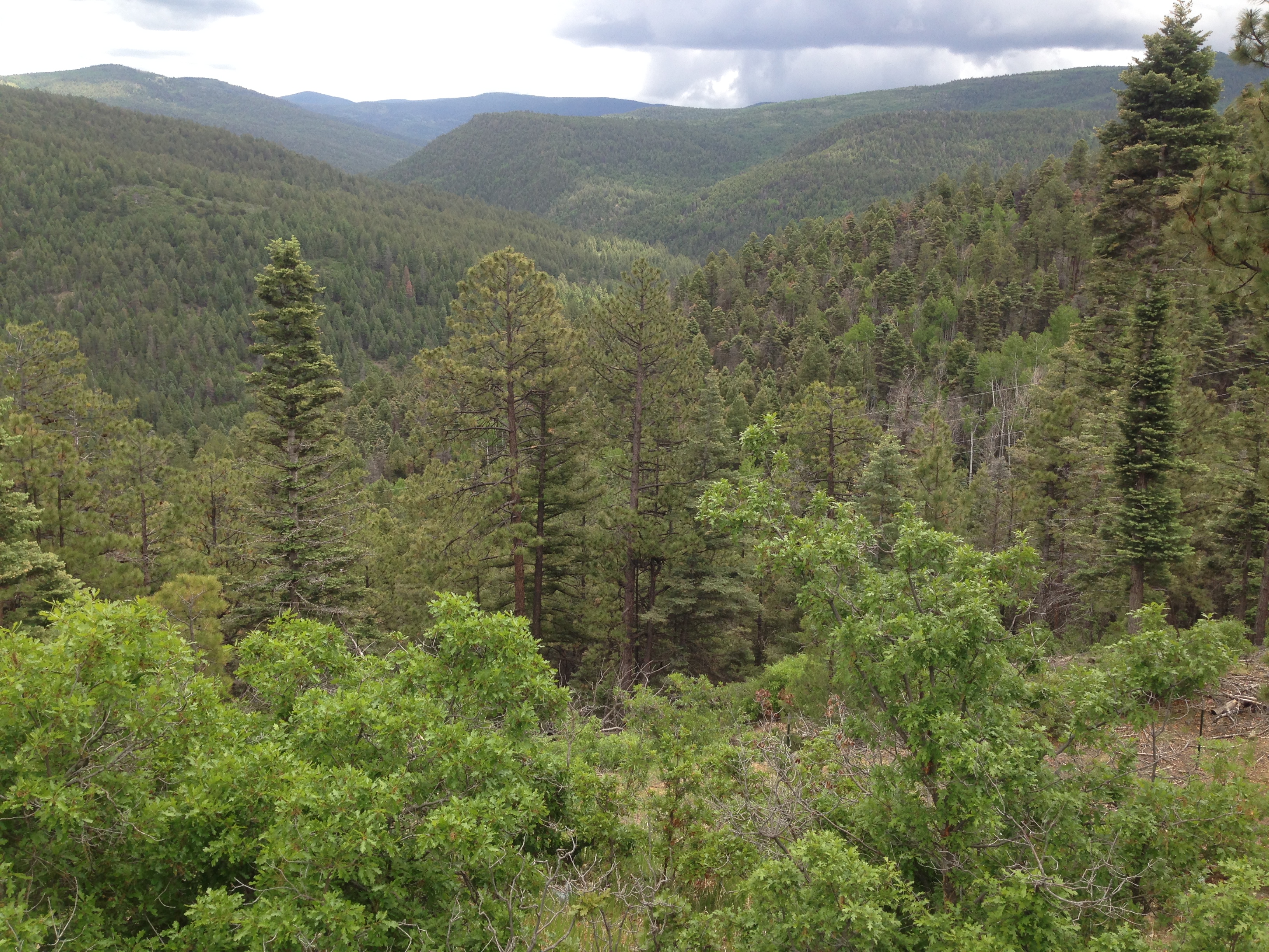
Hilltop view
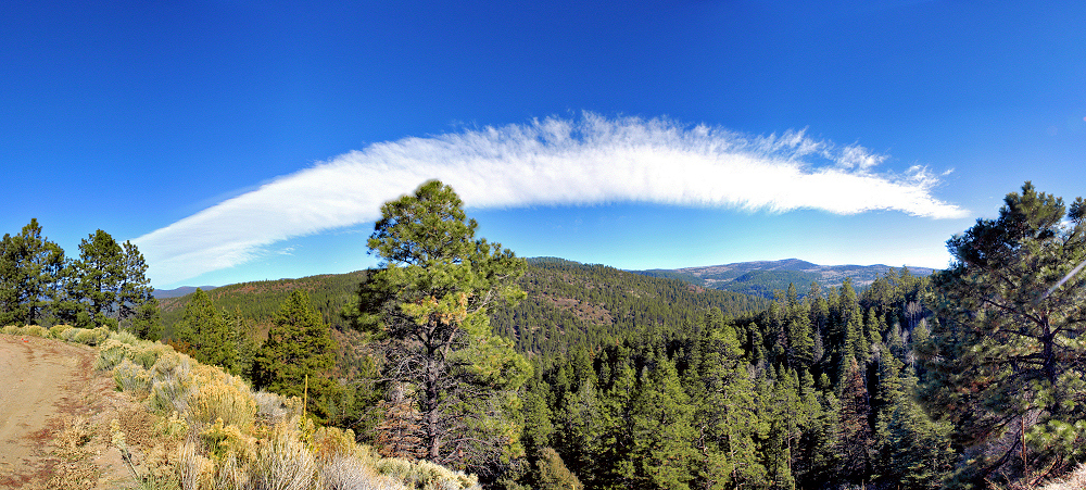
The Arch in the Sky
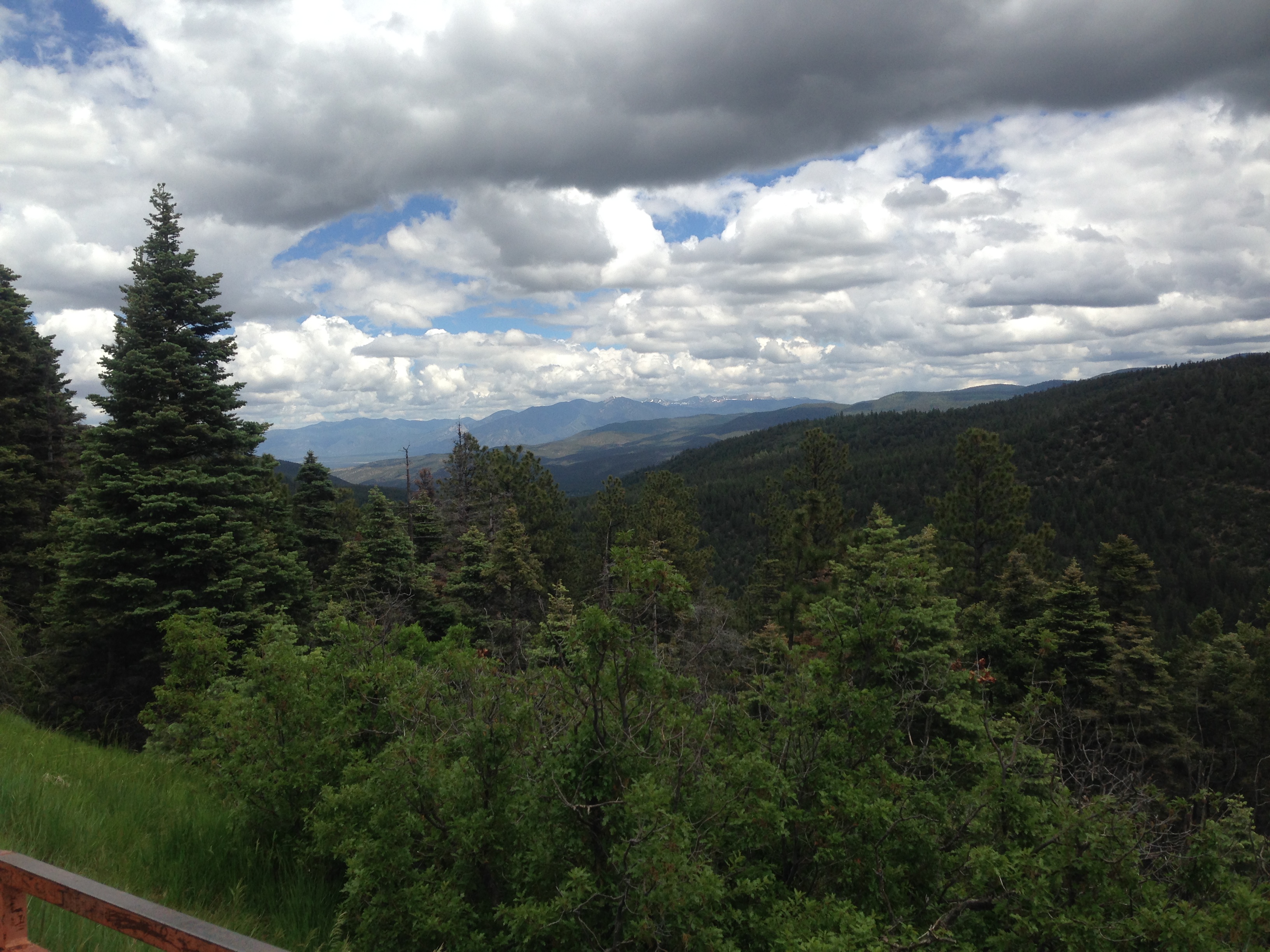
Hilltop view
Topographic Map of Maestas Ridge, New Mexico, USA
Find elevation by address:

Places near Maestas Ridge, New Mexico, USA:
Bear Wallow Ridge
Pot Creek
U S Hill
25 Bridge St
New Mexico 518
Mcgaffey Ridge
Cerrito Colorado
RNCH DE TAOS, NM, USA
US-64, Taos, NM, USA
505 Este Es Rd
Picuris Peak
Ranchos De Taos
1006 Cll Del Monte
Abi Real Estate Investments
20 Vista Linda Rd
Peñasco, NM, USA
Pilar
Pilar Yacht Club & Cafe
Pilar
Carson
Recent Searches:
- Elevation of Corso Fratelli Cairoli, 35, Macerata MC, Italy
- Elevation of Tallevast Rd, Sarasota, FL, USA
- Elevation of 4th St E, Sonoma, CA, USA
- Elevation of Black Hollow Rd, Pennsdale, PA, USA
- Elevation of Oakland Ave, Williamsport, PA, USA
- Elevation of Pedrógão Grande, Portugal
- Elevation of Klee Dr, Martinsburg, WV, USA
- Elevation of Via Roma, Pieranica CR, Italy
- Elevation of Tavkvetili Mountain, Georgia
- Elevation of Hartfords Bluff Cir, Mt Pleasant, SC, USA