Elevation of Mae Pa, Mae Sot District, Tak, Thailand
Location: Thailand > Tak > Mae Sot District >
Longitude: 98.6050736
Latitude: 16.7442623
Elevation: 255m / 837feet
Barometric Pressure: 98KPa
Elevation Map:
Satellite Map:
Related Photos:

view

Massive human ride
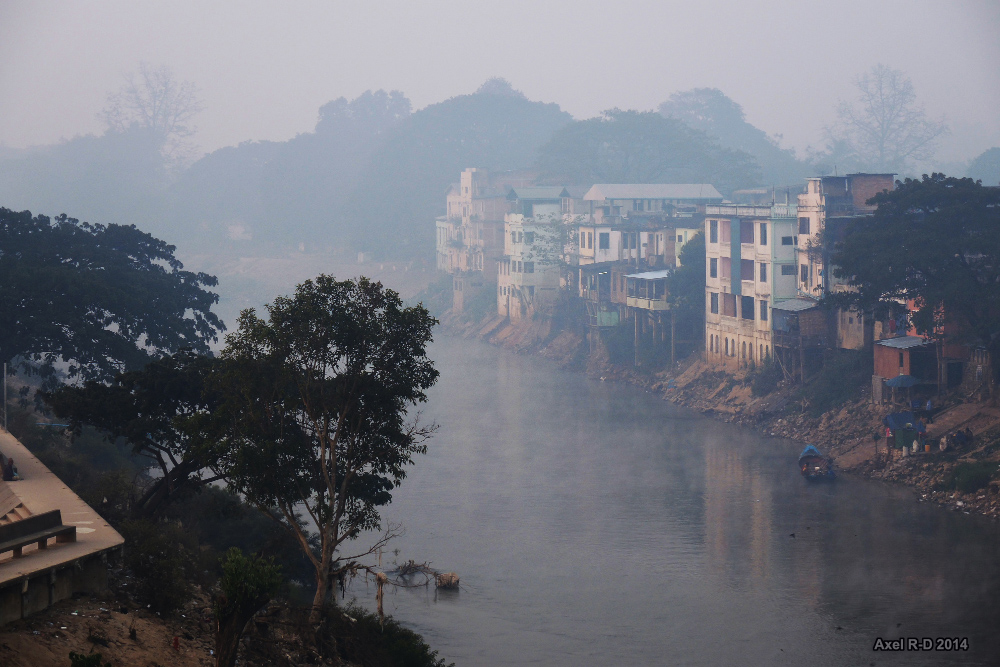
Between Thailand and Myanmar
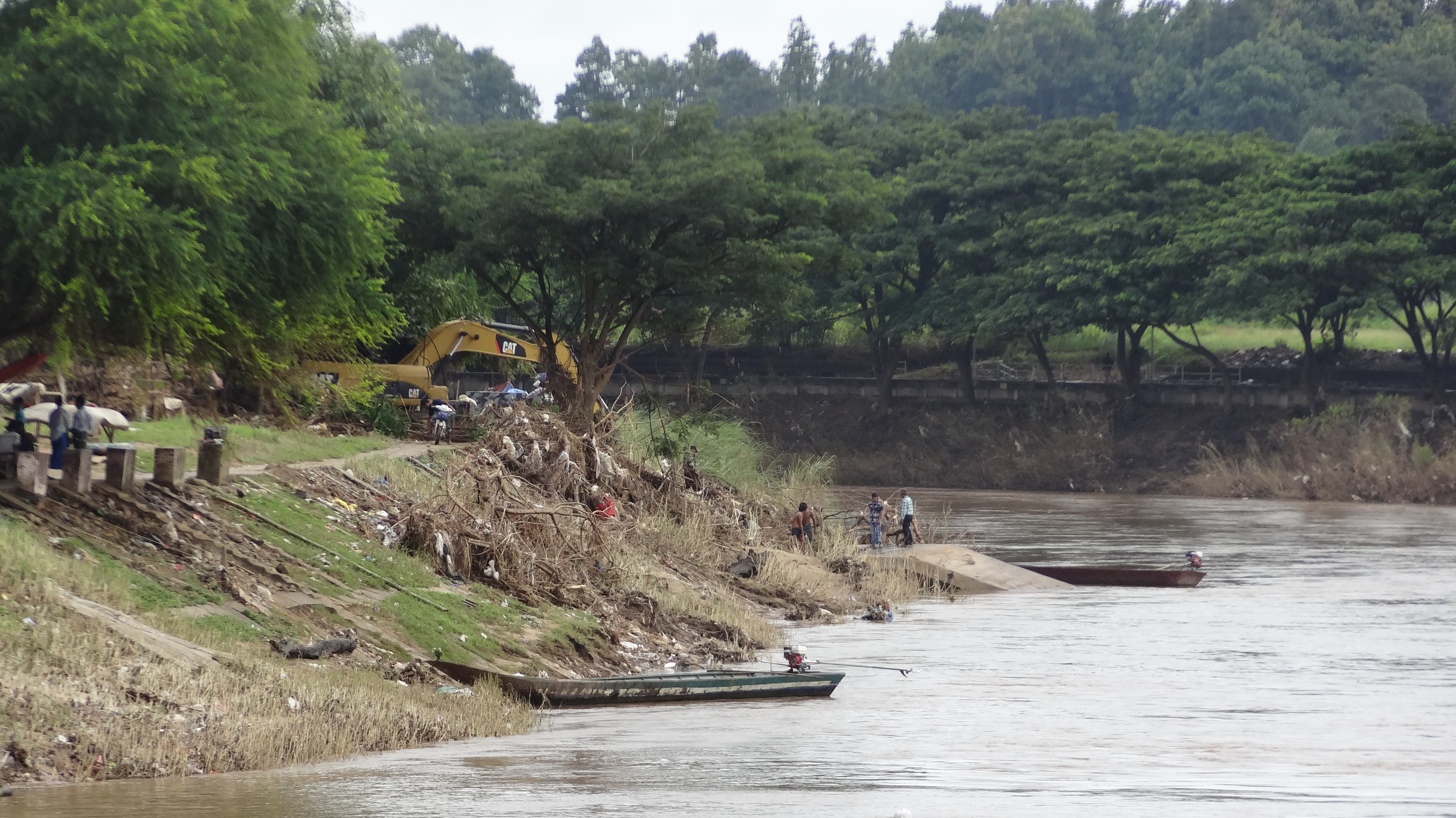
Construction Along River
TeeLorSu-1334

Border bridge from Mae Sot/Thailand to Maywaddy/Myanmar

Border bridge from Mae Sot/Thailand to Maywaddy/Myanmar

Border bridge from Mae Sot/Thailand to Maywaddy/Myanmar

Waterfall House - Mae Sot
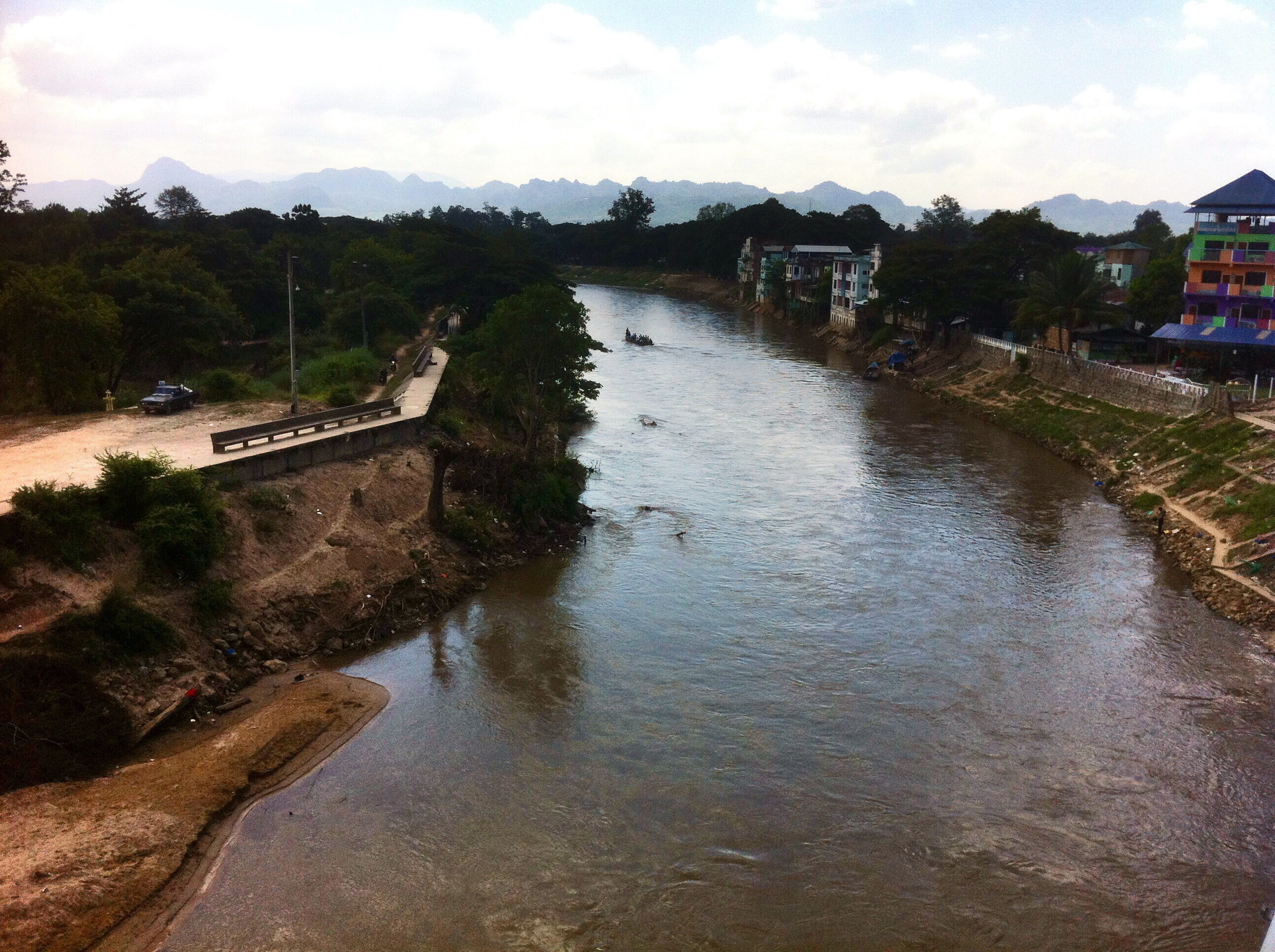
on the Thai-Myanmar friendship bridge over the Moei River

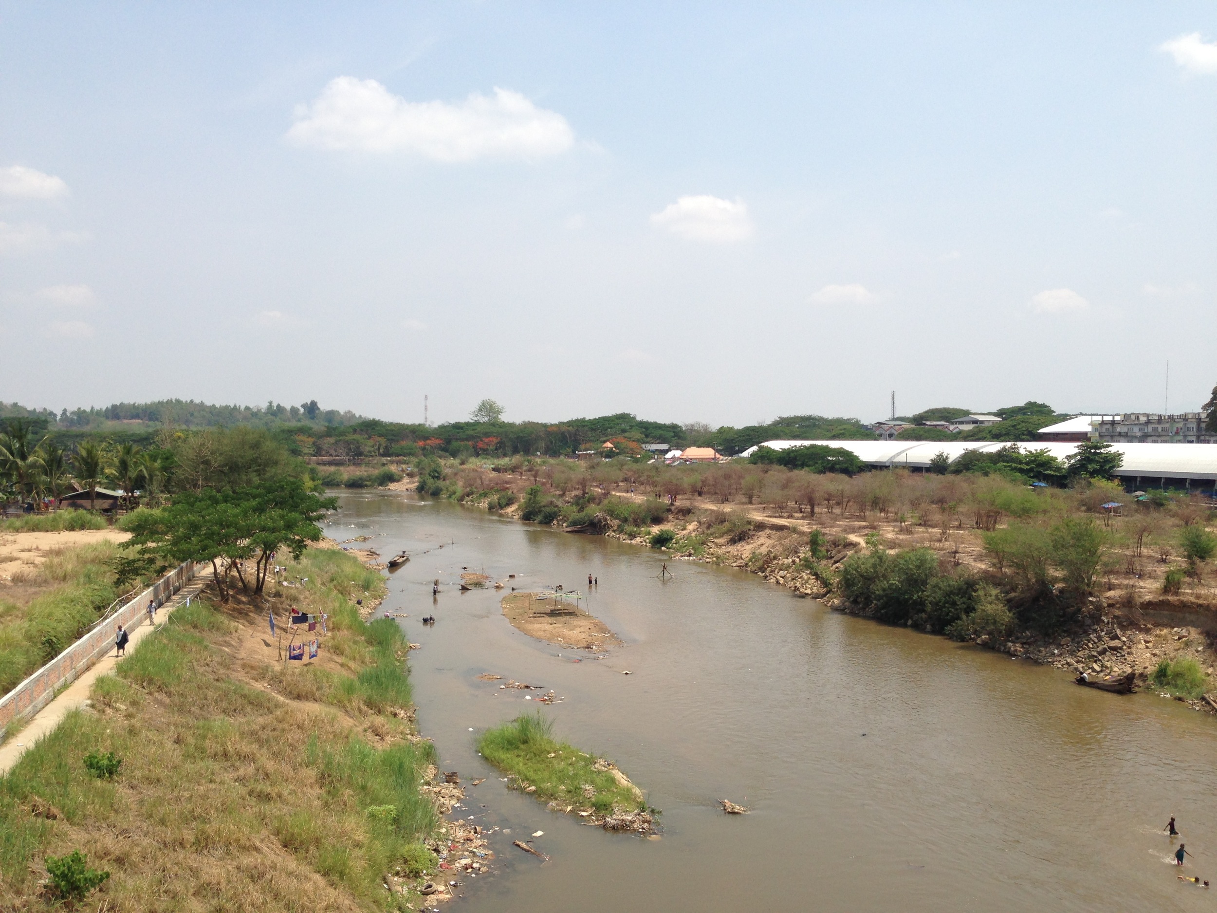
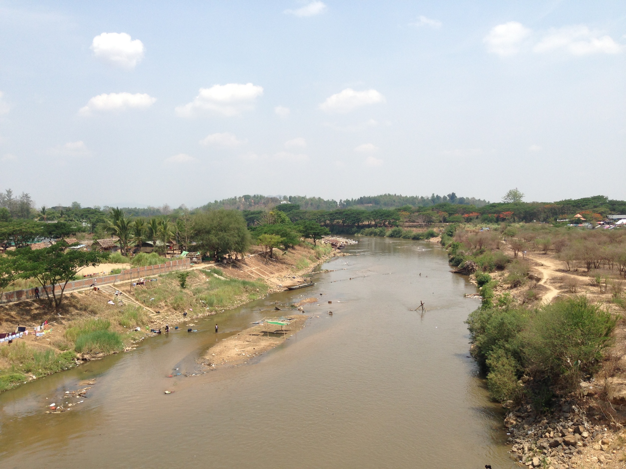
Moei river

Thai-Myanmar Friendship Bridge
Thai-Myanmar Friendship Bridge
Thai-Myanmar Friendship Bridge

border Mae sot
Topographic Map of Mae Pa, Mae Sot District, Tak, Thailand
Find elevation by address:

Places near Mae Pa, Mae Sot District, Tak, Thailand:
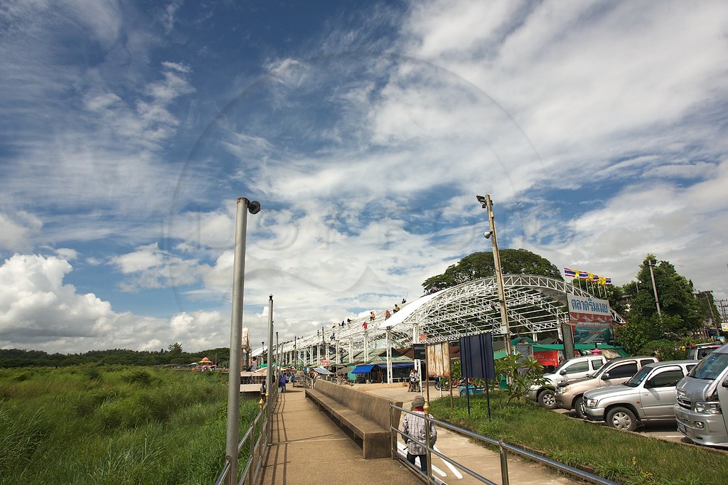
Mae Sot
Mae Sot District
Myawaddy
Phop Phra District
Khirirat
Phran Kratai District
Kamphaeng Phet
Khiri Mat District
Recent Searches:
- Elevation of Corso Fratelli Cairoli, 35, Macerata MC, Italy
- Elevation of Tallevast Rd, Sarasota, FL, USA
- Elevation of 4th St E, Sonoma, CA, USA
- Elevation of Black Hollow Rd, Pennsdale, PA, USA
- Elevation of Oakland Ave, Williamsport, PA, USA
- Elevation of Pedrógão Grande, Portugal
- Elevation of Klee Dr, Martinsburg, WV, USA
- Elevation of Via Roma, Pieranica CR, Italy
- Elevation of Tavkvetili Mountain, Georgia
- Elevation of Hartfords Bluff Cir, Mt Pleasant, SC, USA