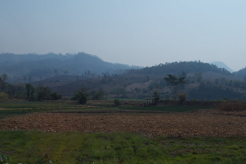
Elevation of Mae Kachan Hot Spring and Geyser, Moo 6 Pha Soet Phatthana Village Doi Hang Chang Wat Chiang Rai, Thailand
Location: Thailand > Chiang Rai > Wiang Pa Pao District > Mae Chedi Mai >
Longitude: 99.4622101
Latitude: 19.1147854
Elevation: -10000m / -32808feet
Barometric Pressure: 295KPa
Related Photos:
Topographic Map of Mae Kachan Hot Spring and Geyser, Moo 6 Pha Soet Phatthana Village Doi Hang Chang Wat Chiang Rai, Thailand
Find elevation by address:

Places near Mae Kachan Hot Spring and Geyser, Moo 6 Pha Soet Phatthana Village Doi Hang Chang Wat Chiang Rai, Thailand:
Mae Chedi Mai
Rong Kho
Thep Sadet Witthaya School
Ban Mae Chaem Health Center
Wang Nuea District
Wiang Pa Pao District
Mae On
On Nuea
Ban Sang
Chiang Mai Highlands Golf And Spa Resort.
San Khamphaeng Hot Springs
Chae Hom District
Mae On District
Pa Pong
Doi Saket District
Luang Nuea
Doi Saket Hospital
Chaehom Thanaphong
The Oriental Village
Ban Sa Ha Khon
Recent Searches:
- Elevation of Rojo Ct, Atascadero, CA, USA
- Elevation of Flagstaff Drive, Flagstaff Dr, North Carolina, USA
- Elevation of Avery Ln, Lakeland, FL, USA
- Elevation of Woolwine, VA, USA
- Elevation of Lumagwas Diversified Farmers Multi-Purpose Cooperative, Lumagwas, Adtuyon, RV32+MH7, Pangantucan, Bukidnon, Philippines
- Elevation of Homestead Ridge, New Braunfels, TX, USA
- Elevation of Orchard Road, Orchard Rd, Marlborough, NY, USA
- Elevation of 12 Hutchinson Woods Dr, Fletcher, NC, USA
- Elevation of Holloway Ave, San Francisco, CA, USA
- Elevation of Norfolk, NY, USA


