Elevation of Macon County, TN, USA
Location: United States > Tennessee >
Longitude: -85.971322
Latitude: 36.4983882
Elevation: 298m / 978feet
Barometric Pressure: 98KPa
Elevation Map:
Satellite Map:
Related Photos:

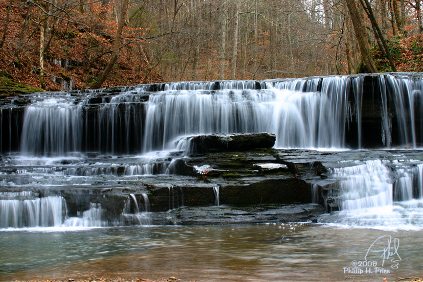
12-12-2009 0136 Union Camp Falls Fantasy

3M7, Lafayette, Tennessee - final approach for runway 19
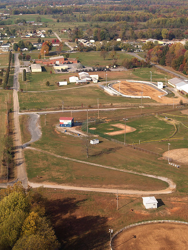
Lafayette, Macon County, Tennessee
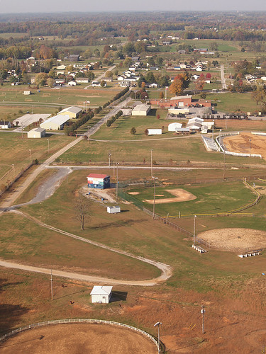
Lafayette, Macon County, Tennessee
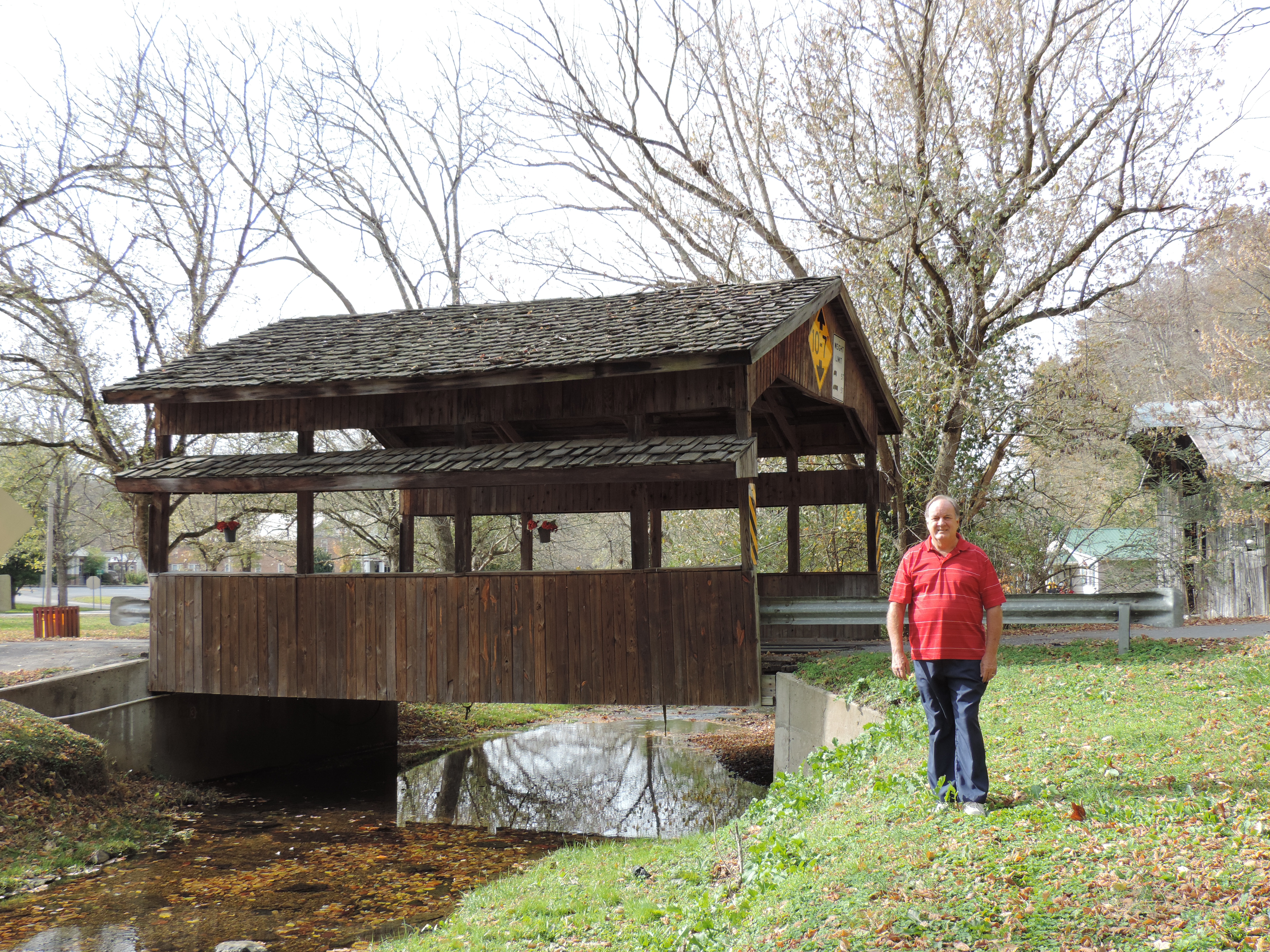
Valley View Drive Covered Bridge
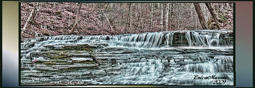
12-12-2009 0154 Union Camp Falls - HDR

12-12-2009 0025 Barn-HDR

Macon County, TN Courthouse - Lafayette, TN
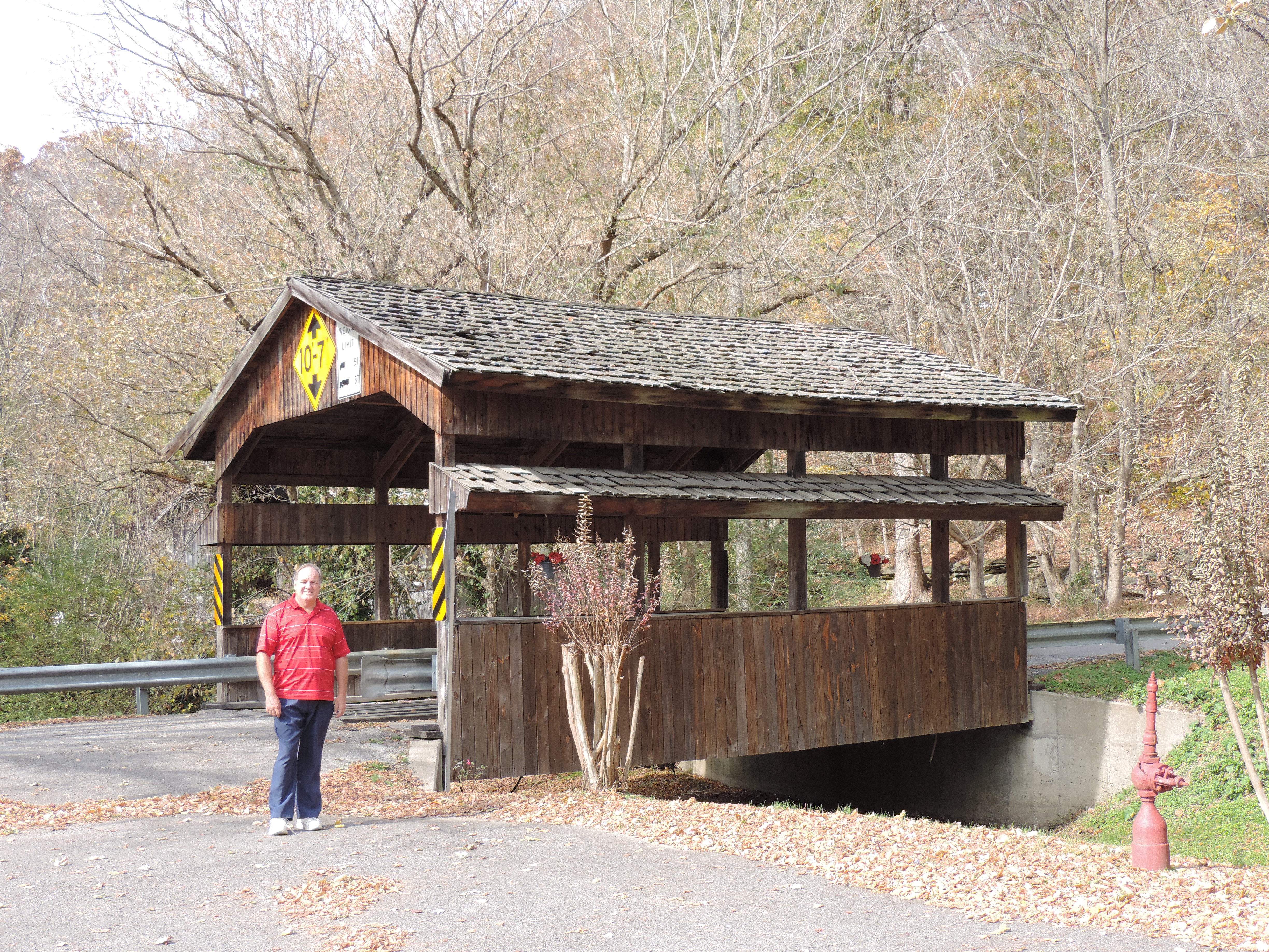
Valley View Drive Covered Bridge
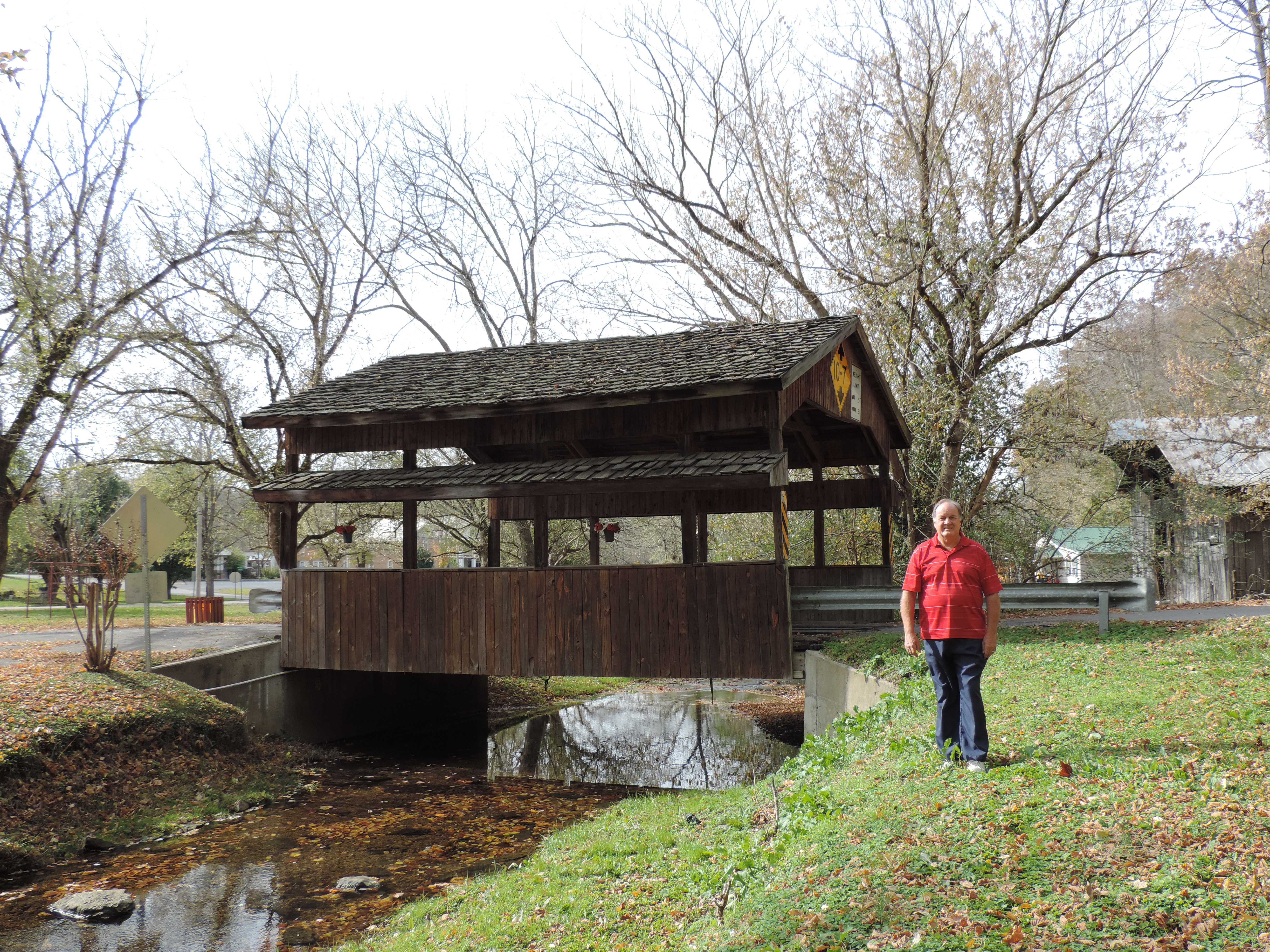
Valley View Drive Covered Bridge
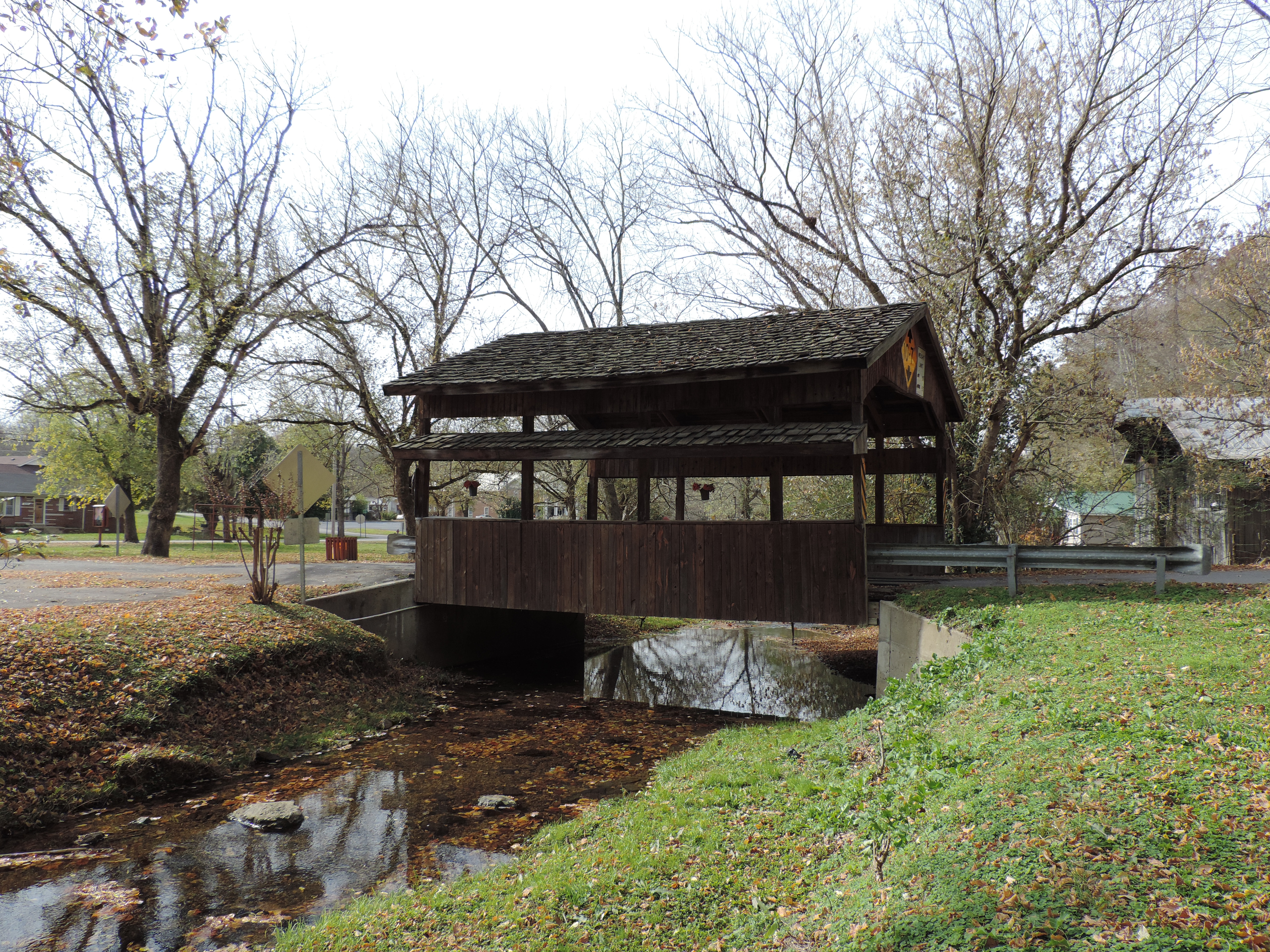
Valley View Drive Covered Bridge
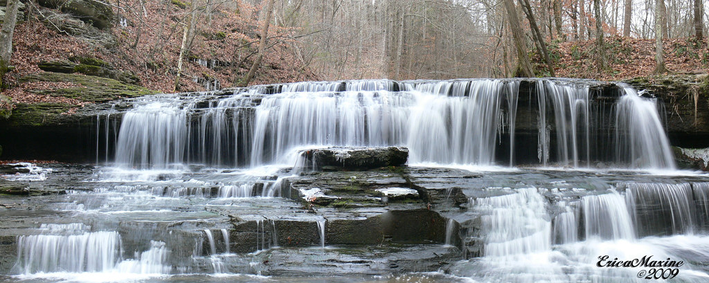
12-12-2009 0154 Union Camp Falls Panorama

Steps of Water: Union Camp Falls
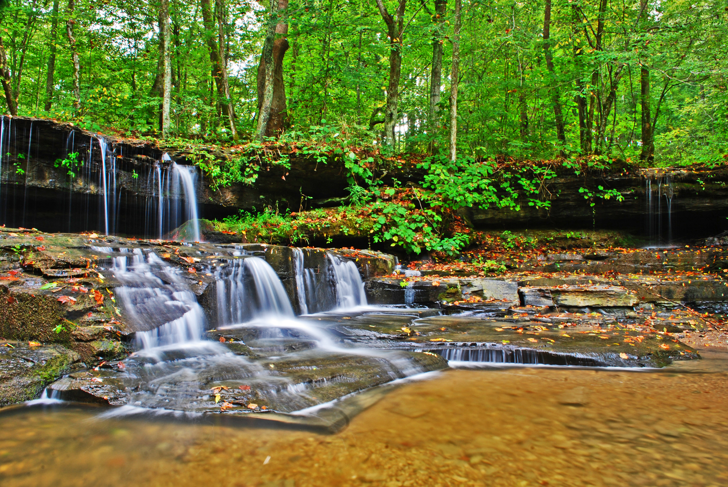
Union Camp Falls
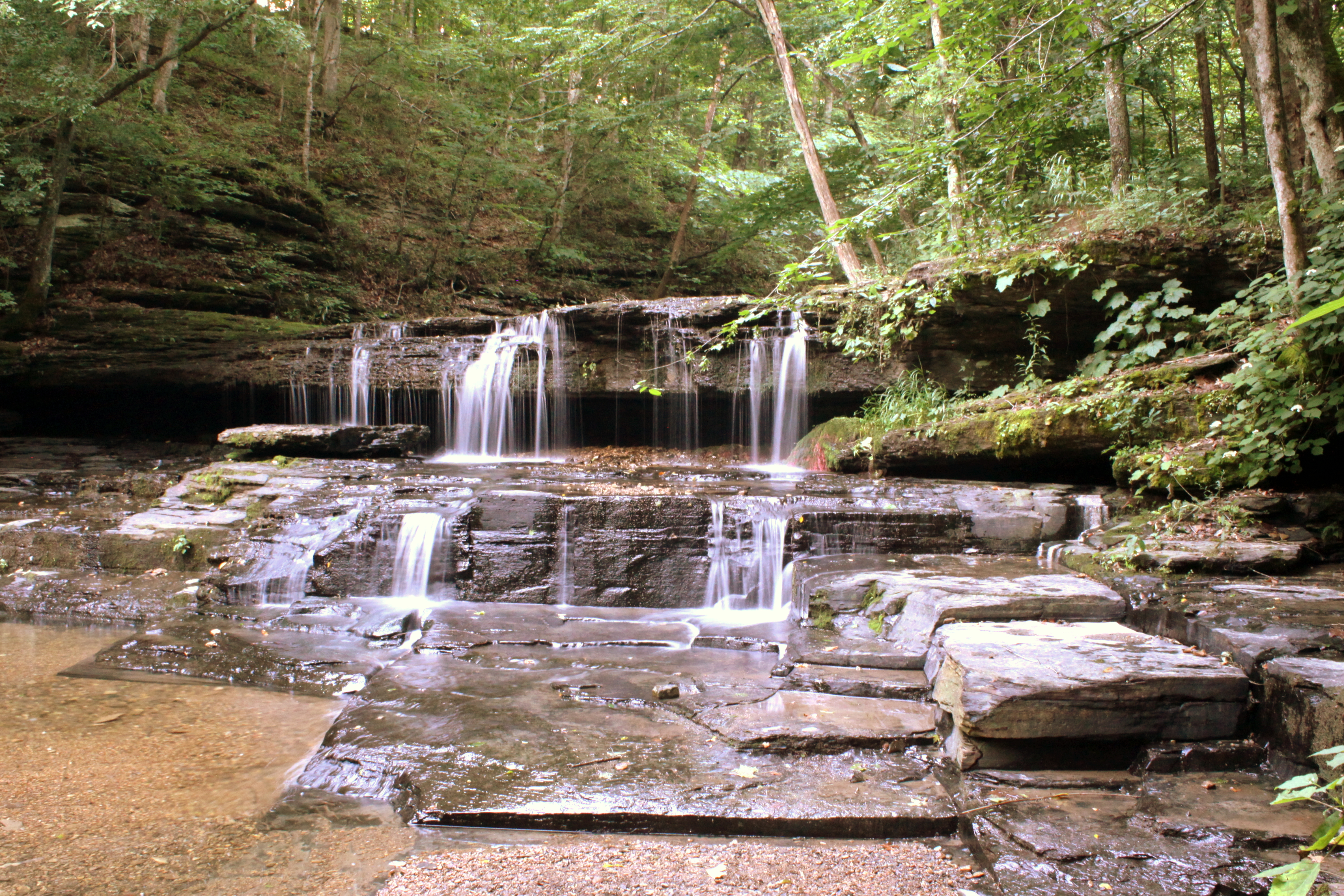
Union Camp Falls
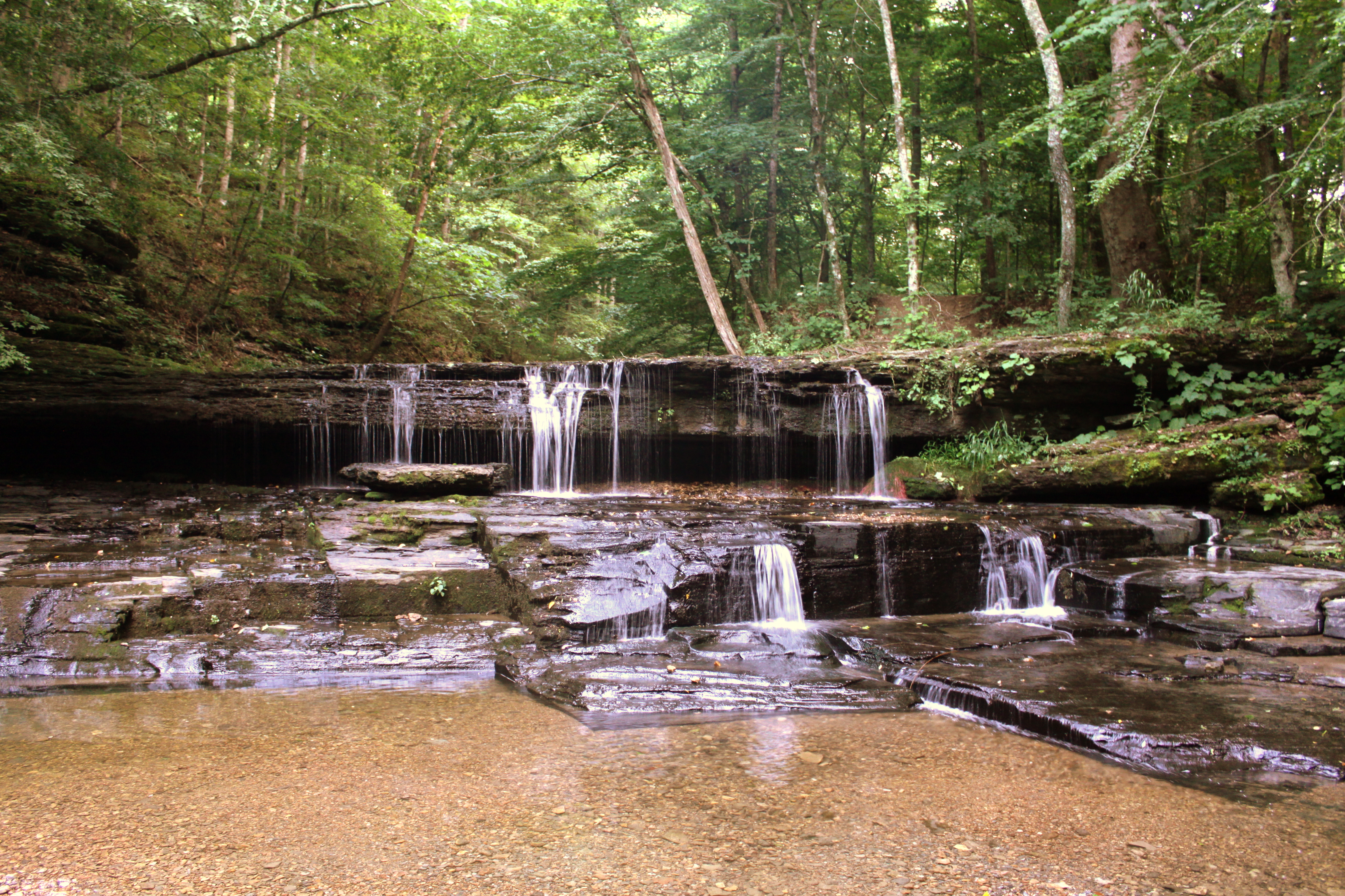
Union Camp Falls
Union Camp Falls 01
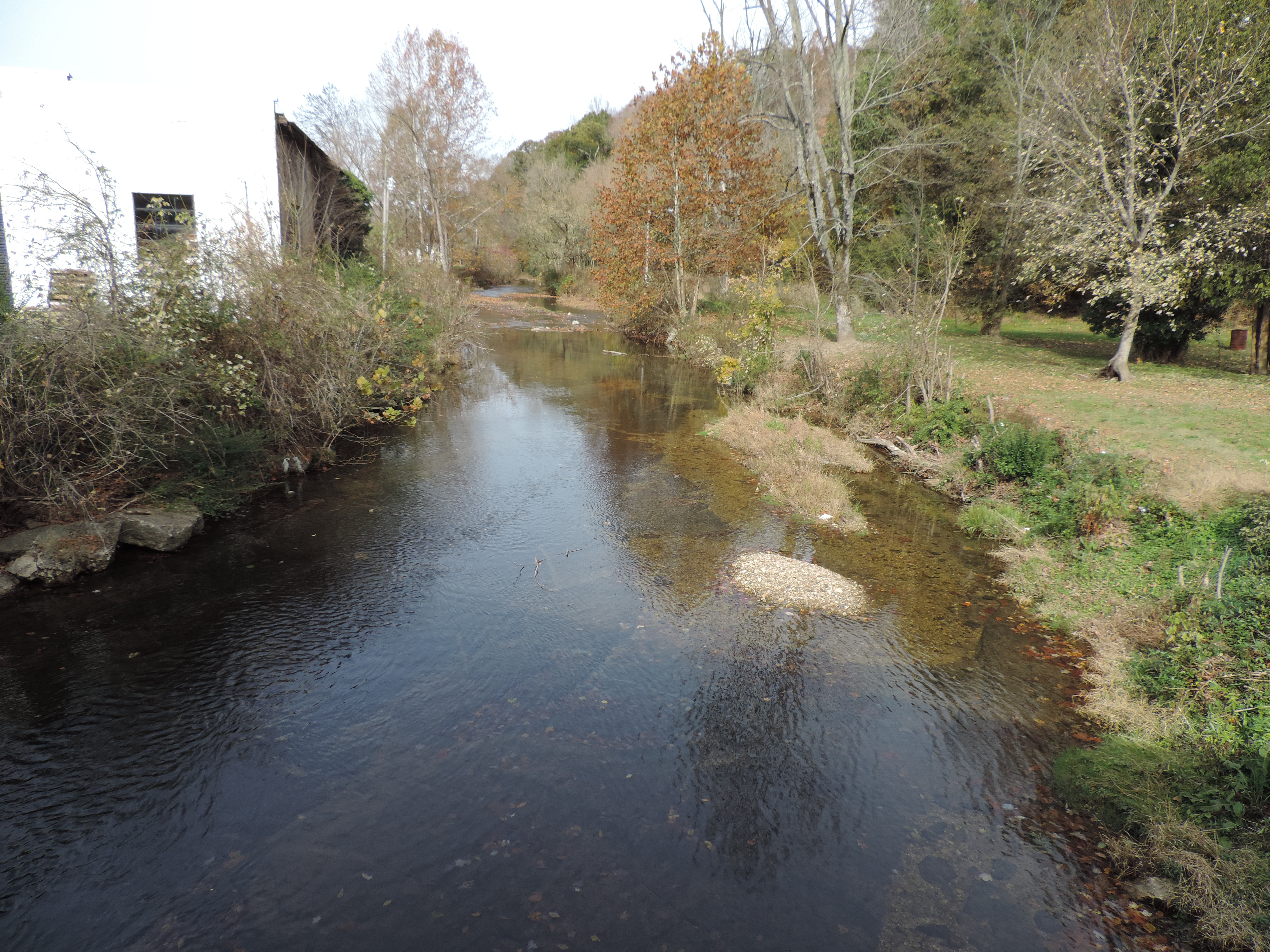
Salt Lick Creek from the Covered Bridge
Faces in the rocks
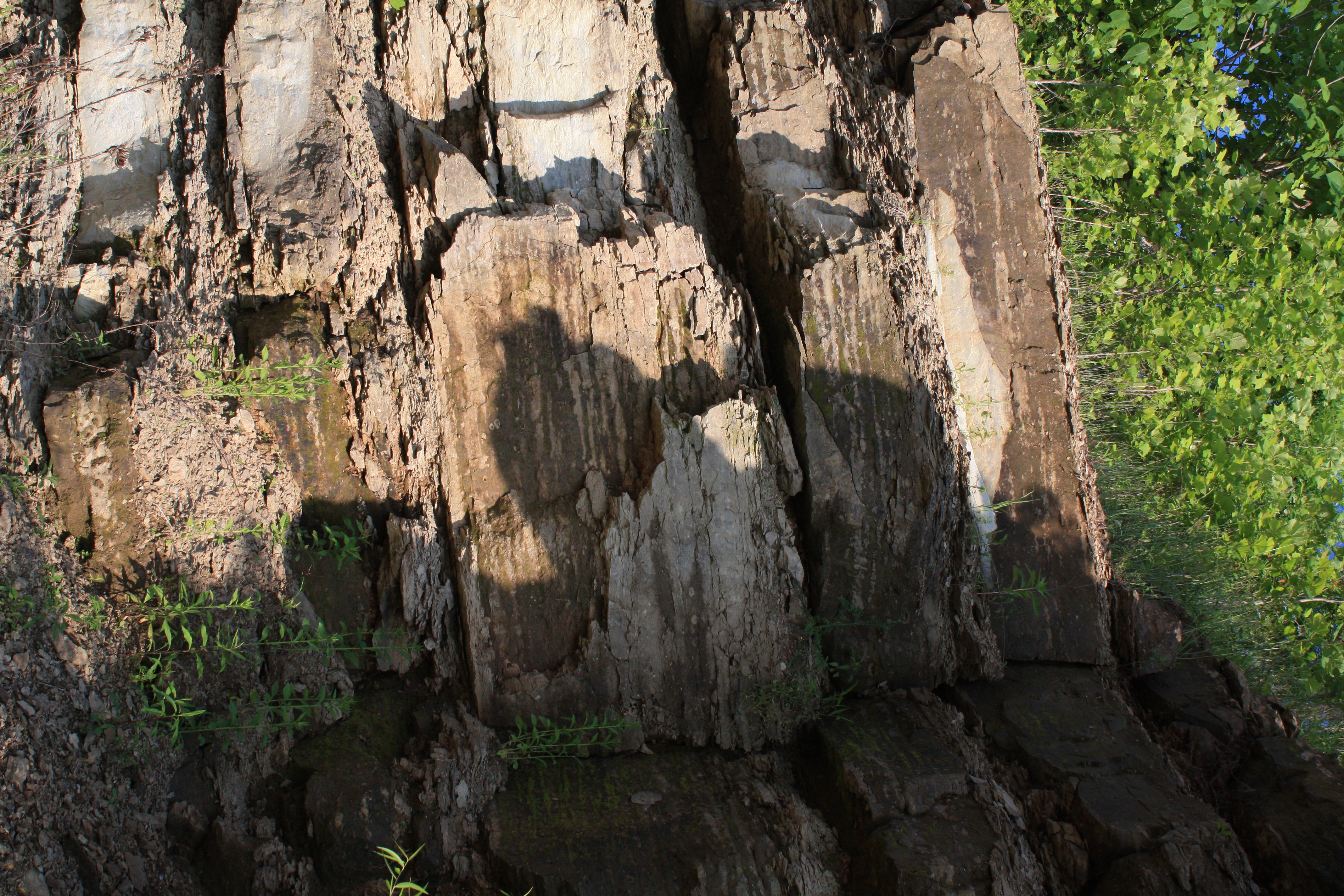
Faces in the rocks
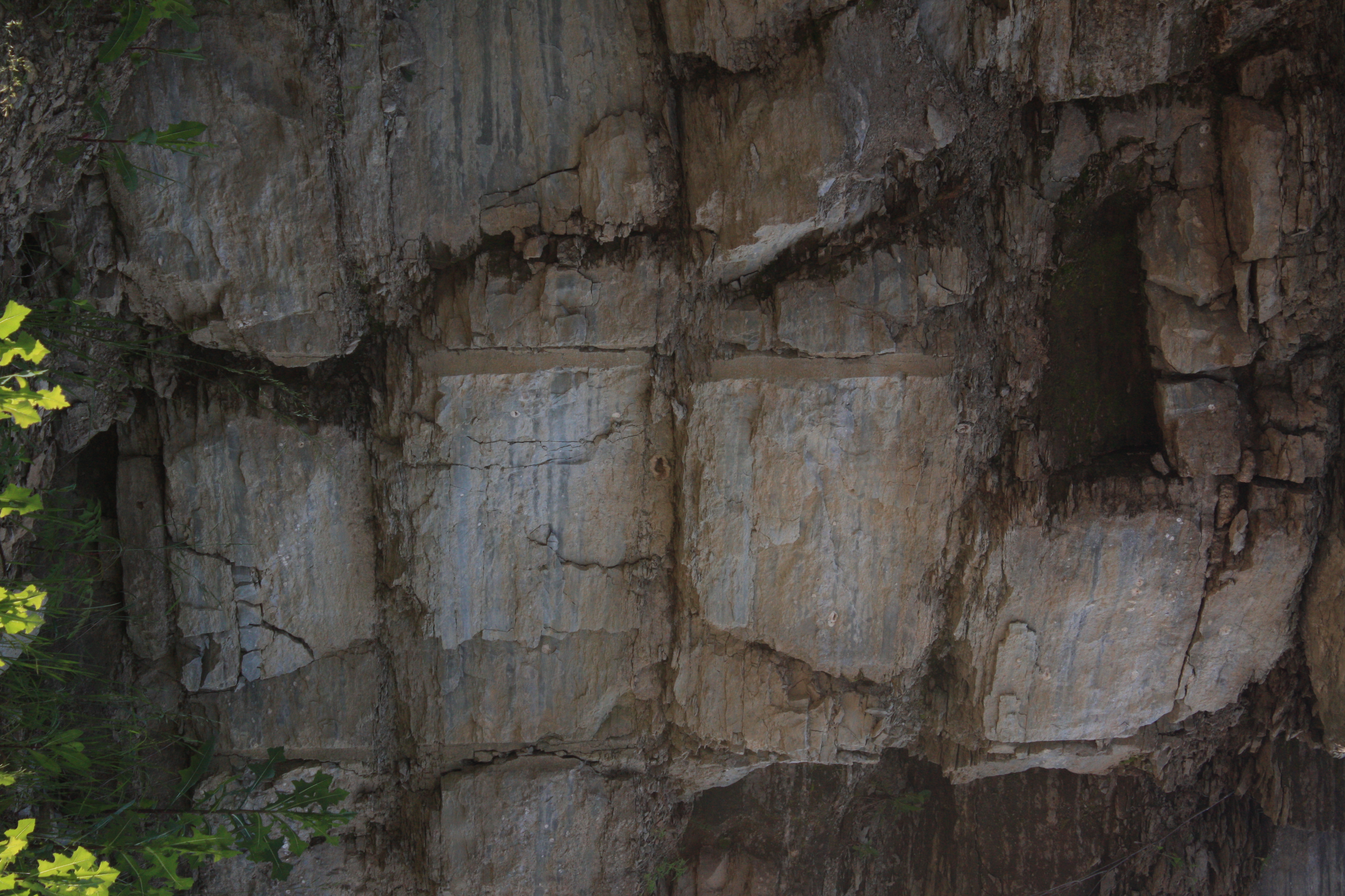
Faces in the rocks
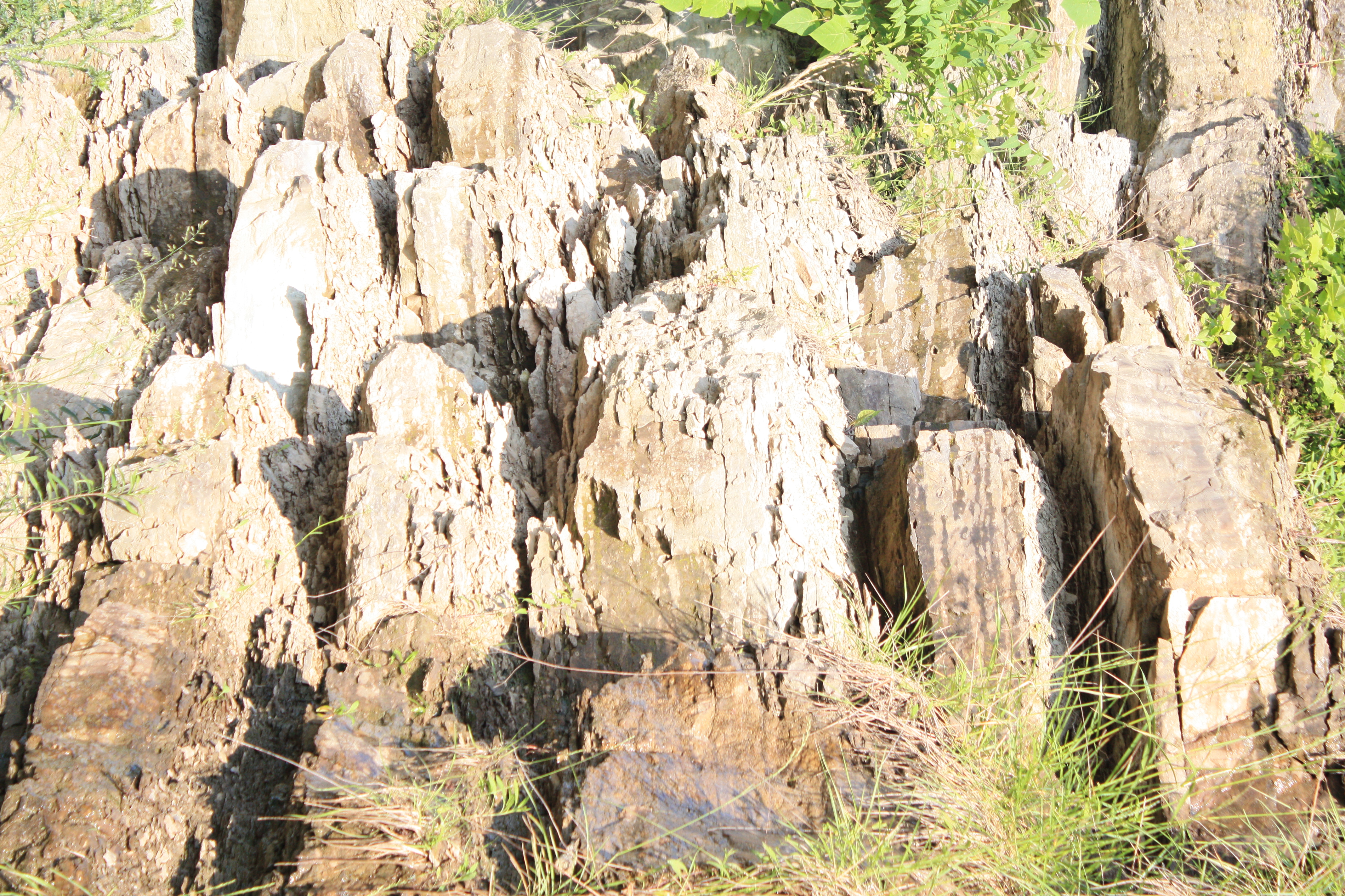
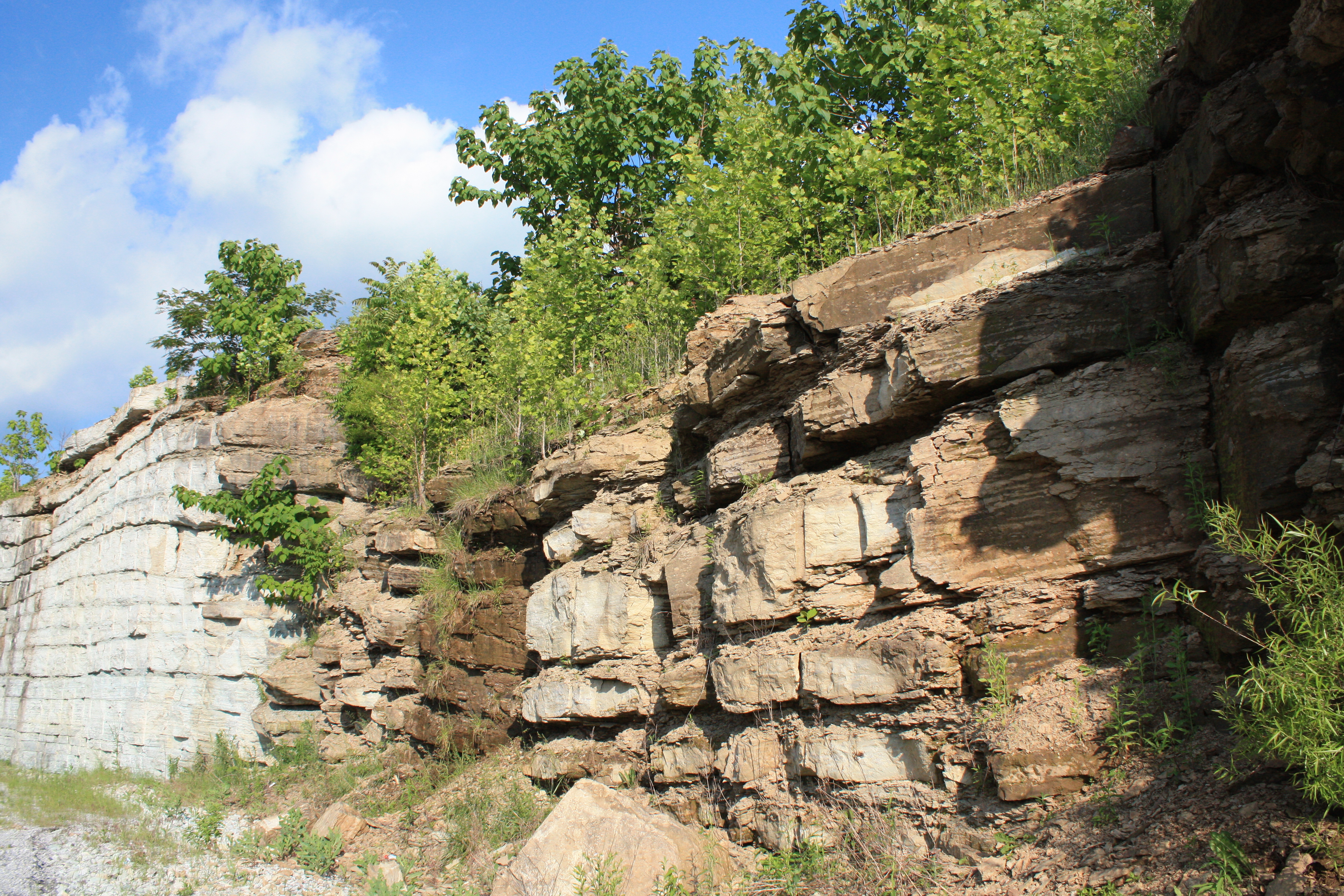
Tennessee rock walls

Faces in the rocks
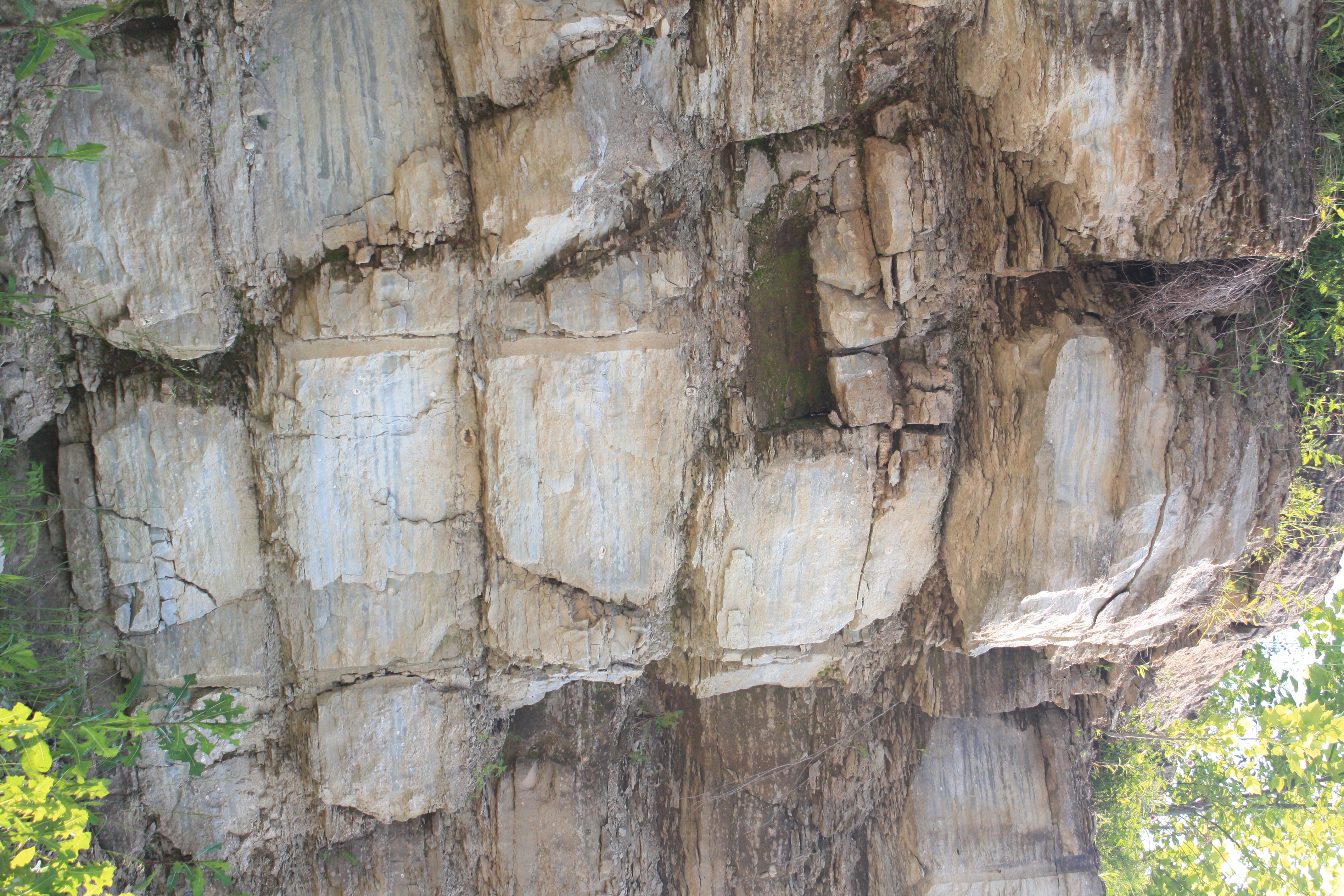
Faces in the rocks
Topographic Map of Macon County, TN, USA
Find elevation by address:

Places in Macon County, TN, USA:
Lafayette
87 Hillsdale Cir, Dixon Springs, TN, USA
Haydenburg Ridge Rd, Whitleyville, TN, USA
Drury Ridge Road
Places near Macon County, TN, USA:
215 Old Coleytown Ln
8531 Red Boiling Springs Rd
1010 Woodard Rd
250 Kristen Drive
Lafayette
Clay's Lane
1069 Pleasant Shade Hwy
Scottsville Rd, Lafayette, TN, USA
Drury Ridge Road
87 Hillsdale Cir, Dixon Springs, TN, USA
966 Key Rd
Hispanic Association
915 Carter Branch Rd
915 Rock Crusher Rd
Red Boiling Springs
915 Celsor Rd
7 Carver Loop, Pleasant Shade, TN, USA
15 Celsor Rd
20 Carver Hollow Ln
Haydenburg Ridge Rd, Whitleyville, TN, USA
Recent Searches:
- Elevation of Corso Fratelli Cairoli, 35, Macerata MC, Italy
- Elevation of Tallevast Rd, Sarasota, FL, USA
- Elevation of 4th St E, Sonoma, CA, USA
- Elevation of Black Hollow Rd, Pennsdale, PA, USA
- Elevation of Oakland Ave, Williamsport, PA, USA
- Elevation of Pedrógão Grande, Portugal
- Elevation of Klee Dr, Martinsburg, WV, USA
- Elevation of Via Roma, Pieranica CR, Italy
- Elevation of Tavkvetili Mountain, Georgia
- Elevation of Hartfords Bluff Cir, Mt Pleasant, SC, USA