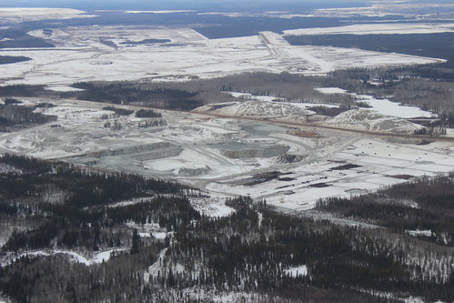
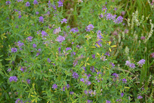
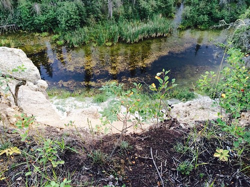
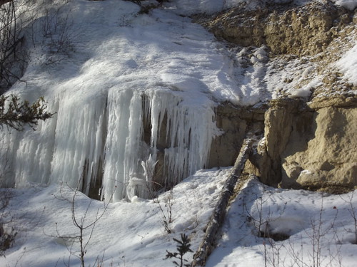
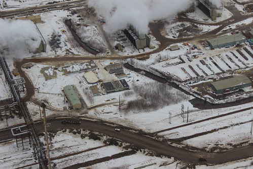
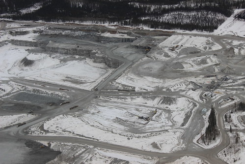
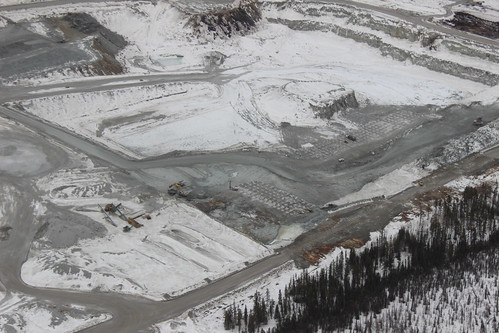
Elevation of Mackay River, Alberta, Canada
Location: Canada > Alberta > Division No. 16 > Wood Buffalo >
Longitude: -111.67583
Latitude: 57.190907
Elevation: 304m / 997feet
Barometric Pressure: 98KPa
Related Photos:
Topographic Map of Mackay River, Alberta, Canada
Find elevation by address:

Places near Mackay River, Alberta, Canada:
Cnrl Horizon Road
Cnrl Horizon Highway
Cnrl Horizon Oil Sands
Syncrude Mildred Lake Site Entrance
Bitumount
Fort Hills Plant
Tar Island
Suncor
Base Plant Road
Rattlepan Creek Crescent
Comeau Crescent
223 Rattlepan Creek Crescent
100-347 Powder Dr
Timberlea
135c Sandpiper Rd
Thickwood Heights
Timberline Drive
Fort Mcmurray
Wood Buffalo
Fort Mackay Brion Energy
Recent Searches:
- Elevation of Corso Fratelli Cairoli, 35, Macerata MC, Italy
- Elevation of Tallevast Rd, Sarasota, FL, USA
- Elevation of 4th St E, Sonoma, CA, USA
- Elevation of Black Hollow Rd, Pennsdale, PA, USA
- Elevation of Oakland Ave, Williamsport, PA, USA
- Elevation of Pedrógão Grande, Portugal
- Elevation of Klee Dr, Martinsburg, WV, USA
- Elevation of Via Roma, Pieranica CR, Italy
- Elevation of Tavkvetili Mountain, Georgia
- Elevation of Hartfords Bluff Cir, Mt Pleasant, SC, USA
