Elevation of Macheke, Zimbabwe
Location: Zimbabwe > Mashonaland East Province >
Longitude: 31.8477213
Latitude: -18.145047
Elevation: 1554m / 5098feet
Barometric Pressure: 84KPa
Elevation Map:
Satellite Map:
Related Photos:
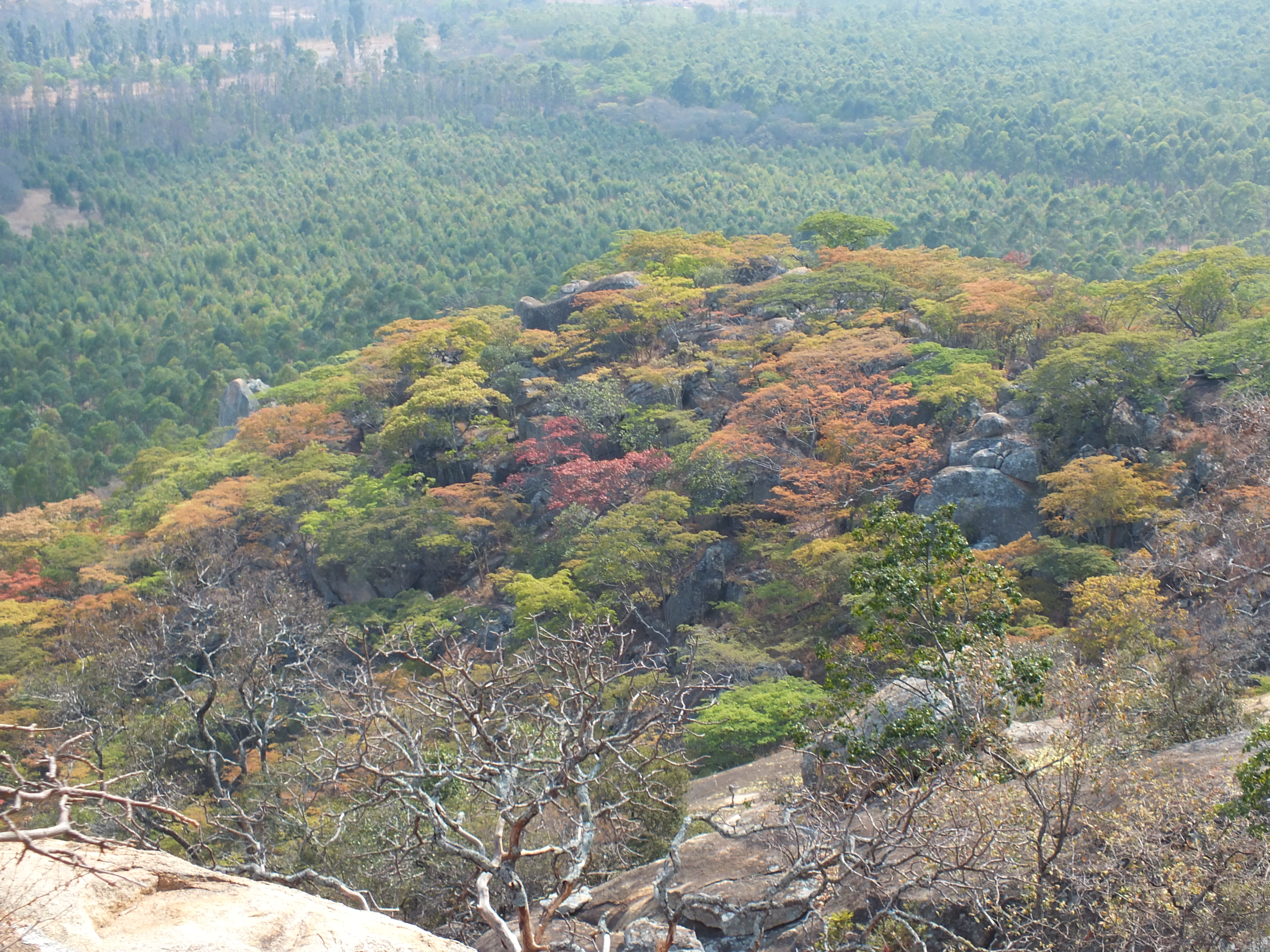
Msasa Tree
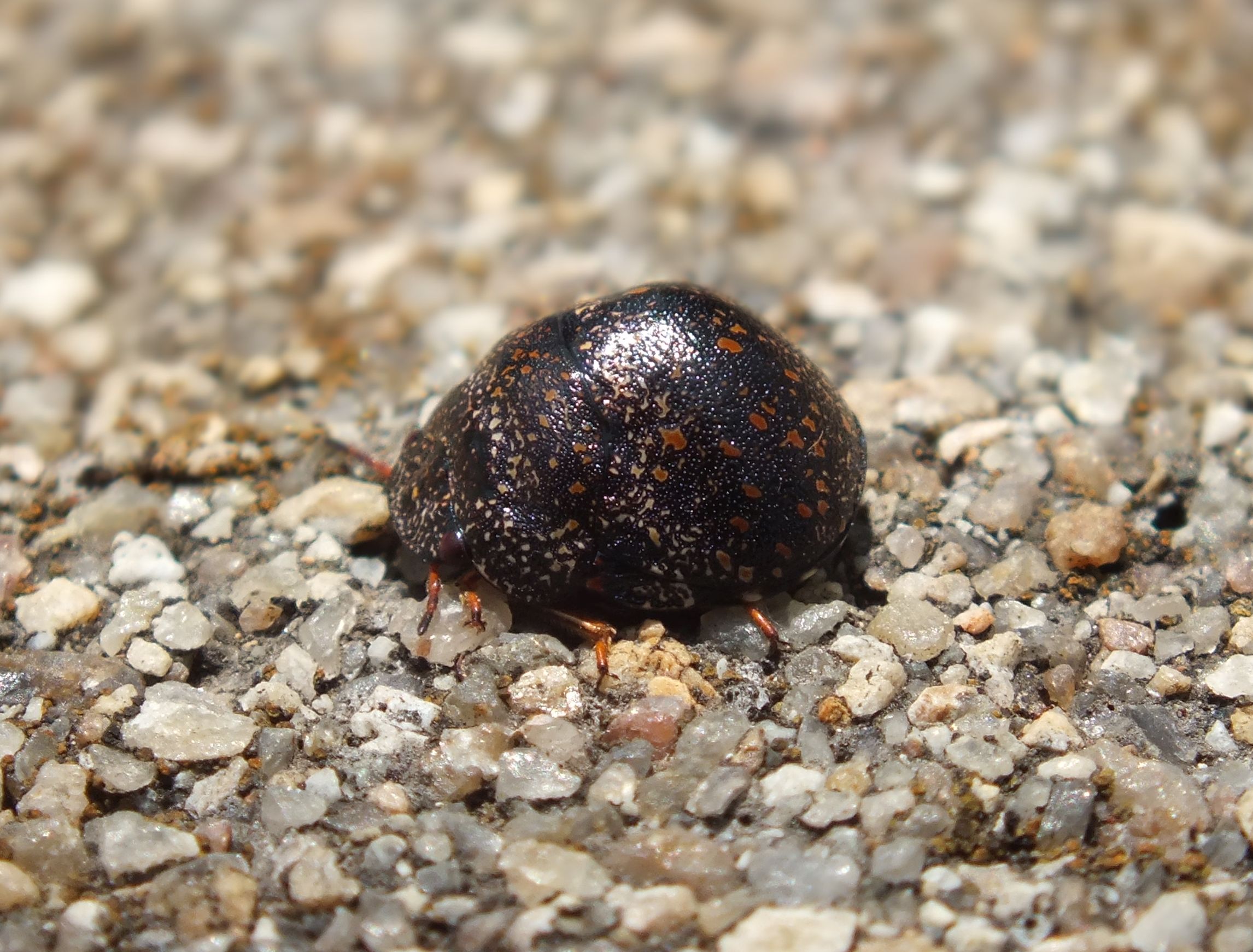
Flying Bug
Topographic Map of Macheke, Zimbabwe
Find elevation by address:

Places near Macheke, Zimbabwe:
Marondera
Ruwa
Robert Gabriel Mugabe Airport
Harare South
Athlone Shopping Centre
Harare
Harare Province
Harare
Mashonaland Central
Recent Searches:
- Elevation of Corso Fratelli Cairoli, 35, Macerata MC, Italy
- Elevation of Tallevast Rd, Sarasota, FL, USA
- Elevation of 4th St E, Sonoma, CA, USA
- Elevation of Black Hollow Rd, Pennsdale, PA, USA
- Elevation of Oakland Ave, Williamsport, PA, USA
- Elevation of Pedrógão Grande, Portugal
- Elevation of Klee Dr, Martinsburg, WV, USA
- Elevation of Via Roma, Pieranica CR, Italy
- Elevation of Tavkvetili Mountain, Georgia
- Elevation of Hartfords Bluff Cir, Mt Pleasant, SC, USA