Elevation of M M Alam Airport Khuzdar (KDD), Airport Rd, Khuzdar, Balochistan, Pakistan
Location: Pakistan > Balochistan > Khuzdar > Khuzdar > Khuzdar >
Longitude: 66.6392753
Latitude: 27.7969493
Elevation: 1215m / 3986feet
Barometric Pressure: 88KPa
Elevation Map:
Satellite Map:
Related Photos:

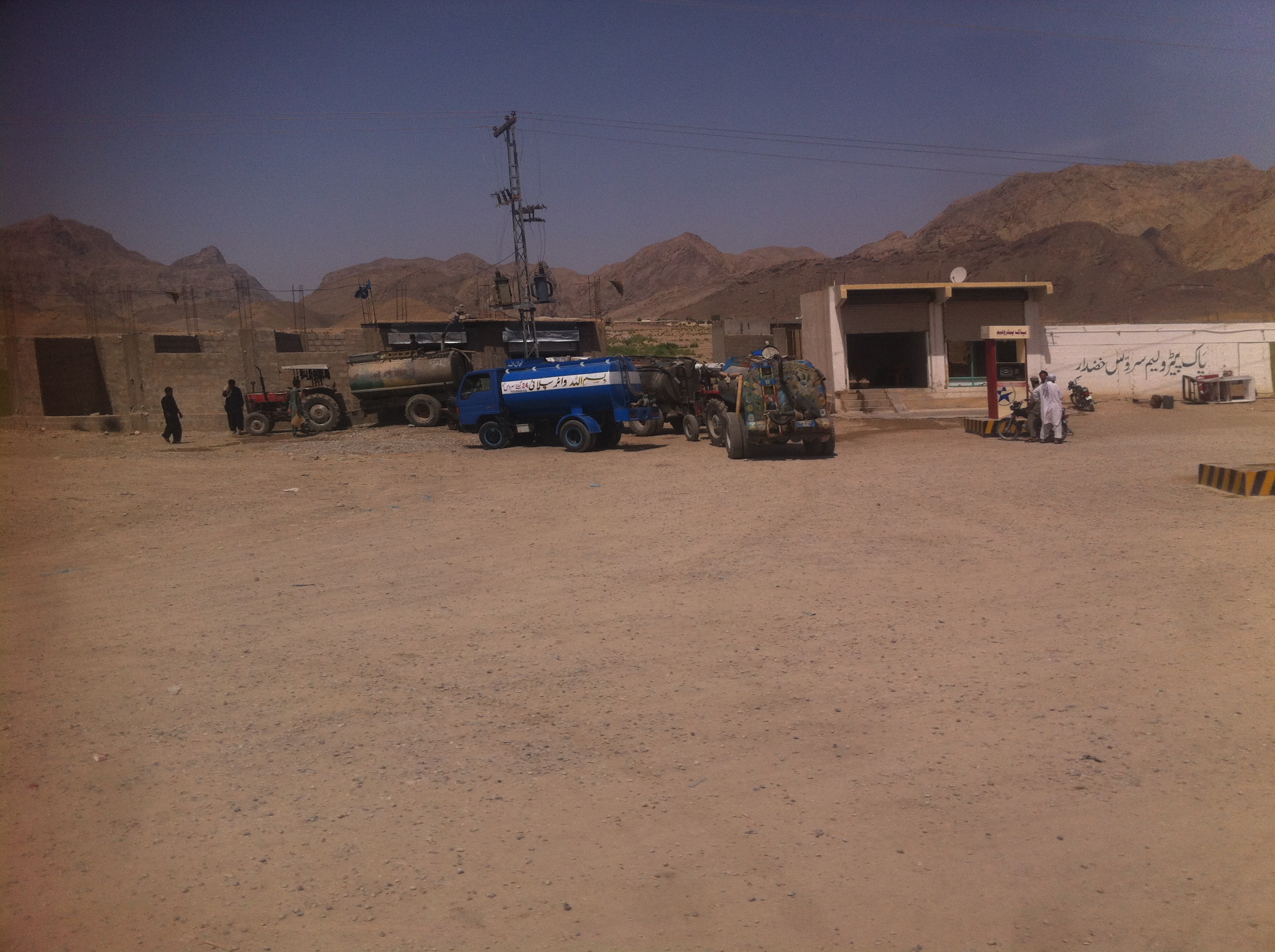
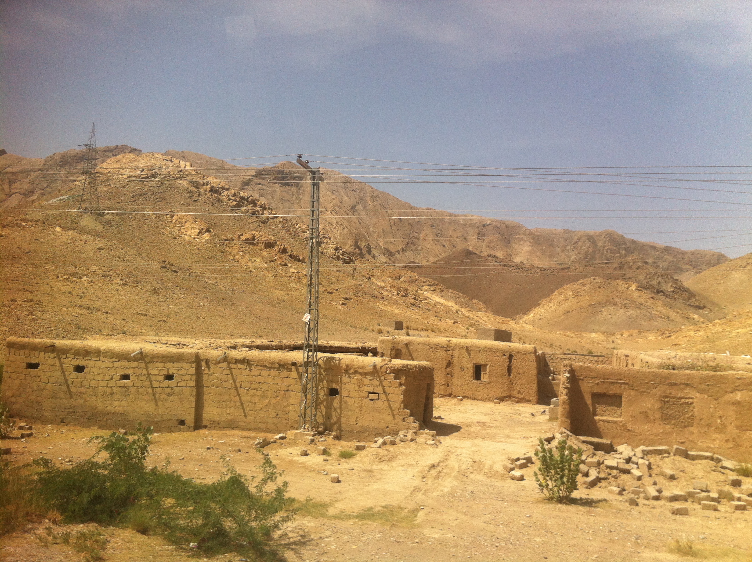
IMG_7910

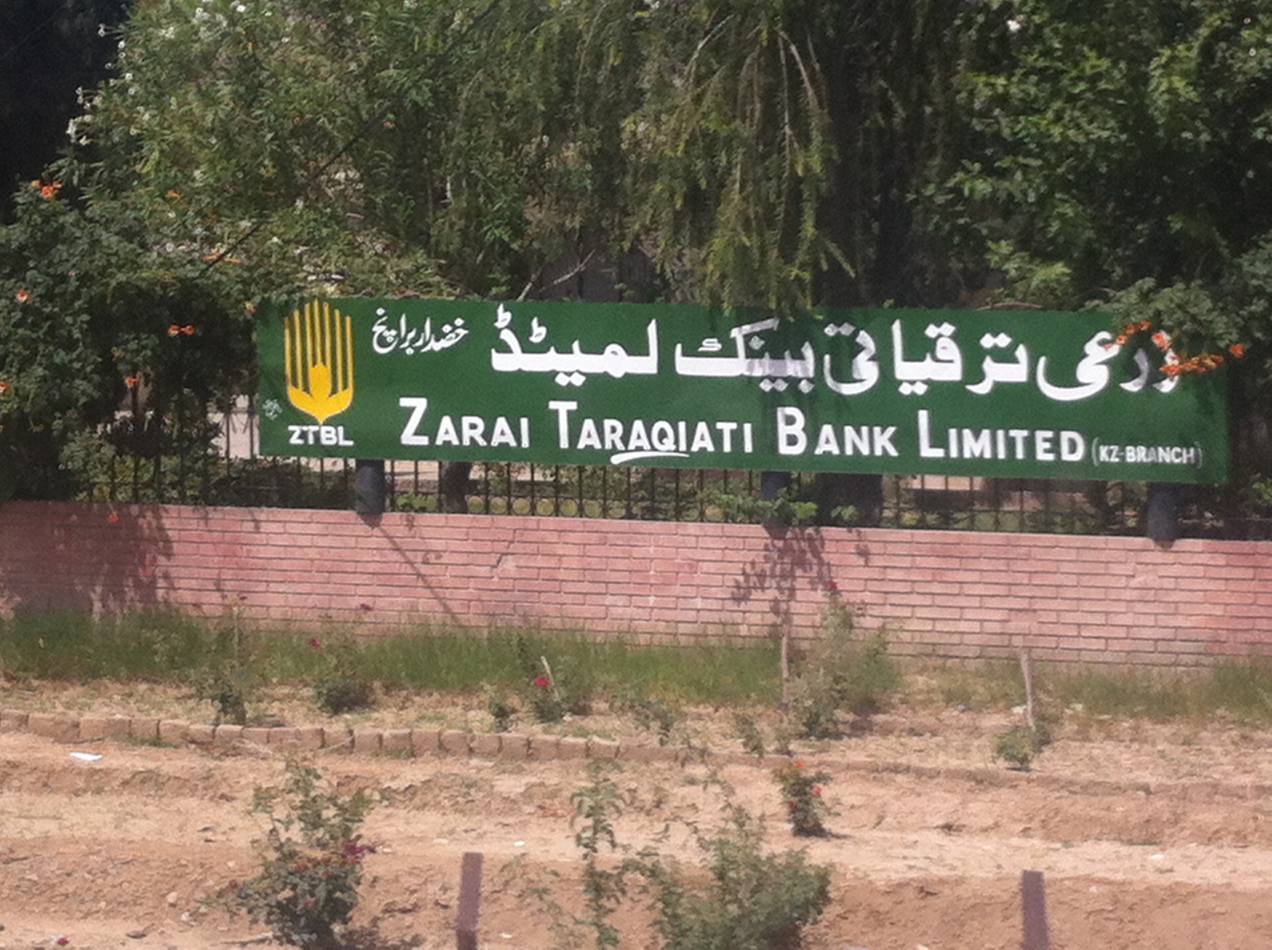
IMG_7911

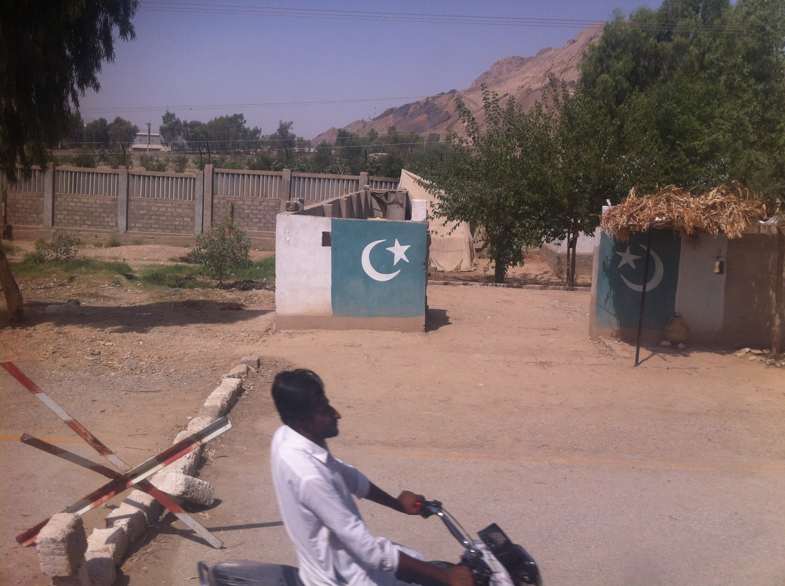
upload

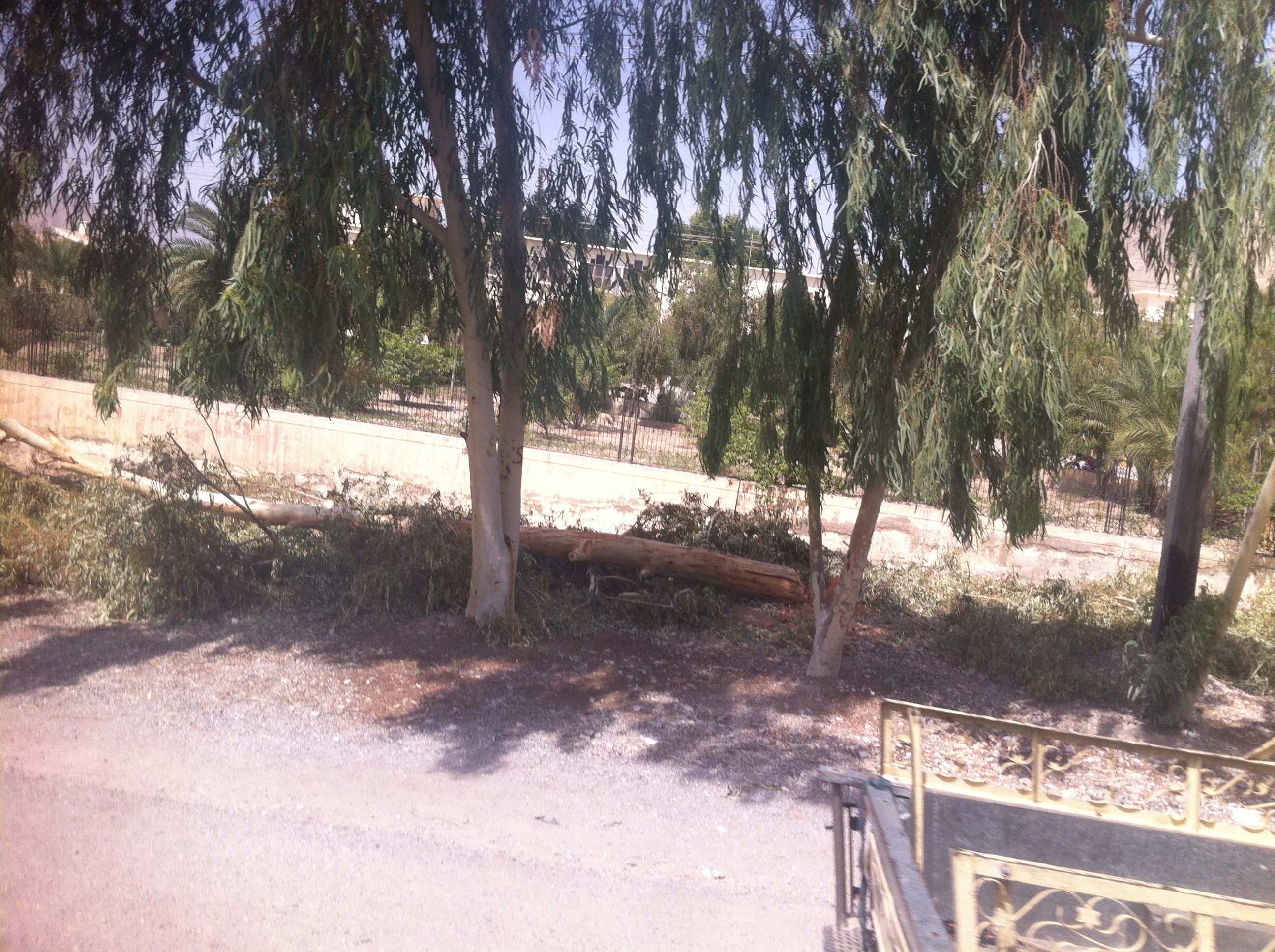
01817
IMG_7912

IMG_7913

IMG_7914

IMG_7915

IMG_7916

IMG_7917
IMG_7918

IMG_7919

IMG_7920
IMG_7921

IMG_7922
IMG_7923

IMG_7924

IMG_7925

IMG_7926

IMG_7927
IMG_7928
Topographic Map of M M Alam Airport Khuzdar (KDD), Airport Rd, Khuzdar, Balochistan, Pakistan
Find elevation by address:

Places near M M Alam Airport Khuzdar (KDD), Airport Rd, Khuzdar, Balochistan, Pakistan:
Recent Searches:
- Elevation of Corso Fratelli Cairoli, 35, Macerata MC, Italy
- Elevation of Tallevast Rd, Sarasota, FL, USA
- Elevation of 4th St E, Sonoma, CA, USA
- Elevation of Black Hollow Rd, Pennsdale, PA, USA
- Elevation of Oakland Ave, Williamsport, PA, USA
- Elevation of Pedrógão Grande, Portugal
- Elevation of Klee Dr, Martinsburg, WV, USA
- Elevation of Via Roma, Pieranica CR, Italy
- Elevation of Tavkvetili Mountain, Georgia
- Elevation of Hartfords Bluff Cir, Mt Pleasant, SC, USA