Elevation of Mäensyrjäntie 36, Kärkölä, Finland
Location: Finland > Kärkölä >
Longitude: 25.23565
Latitude: 60.92077
Elevation: 99m / 325feet
Barometric Pressure: 100KPa
Elevation Map:
Satellite Map:
Related Photos:

Reference shot (smart phone)
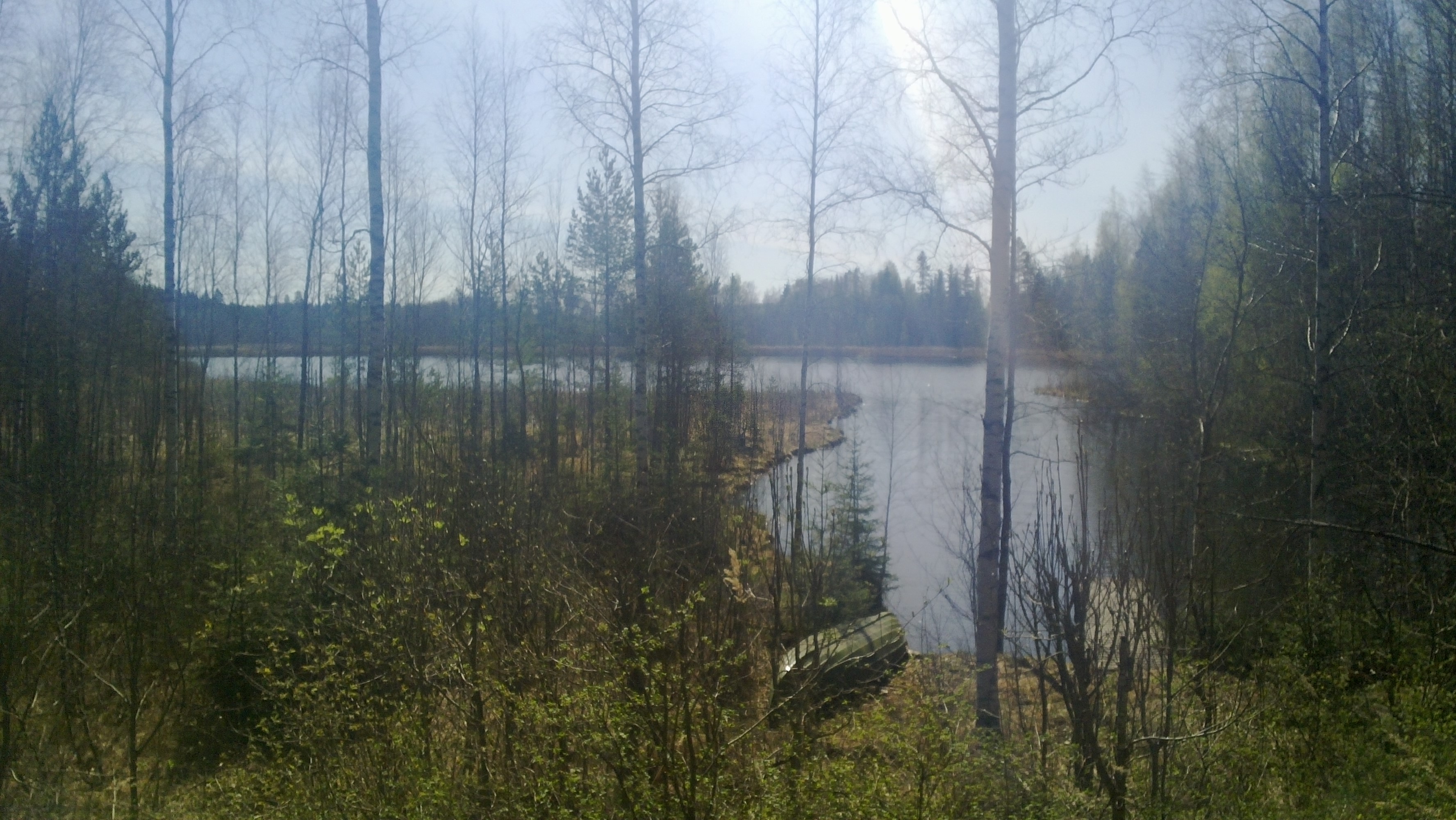
Lake view from the mökki #1

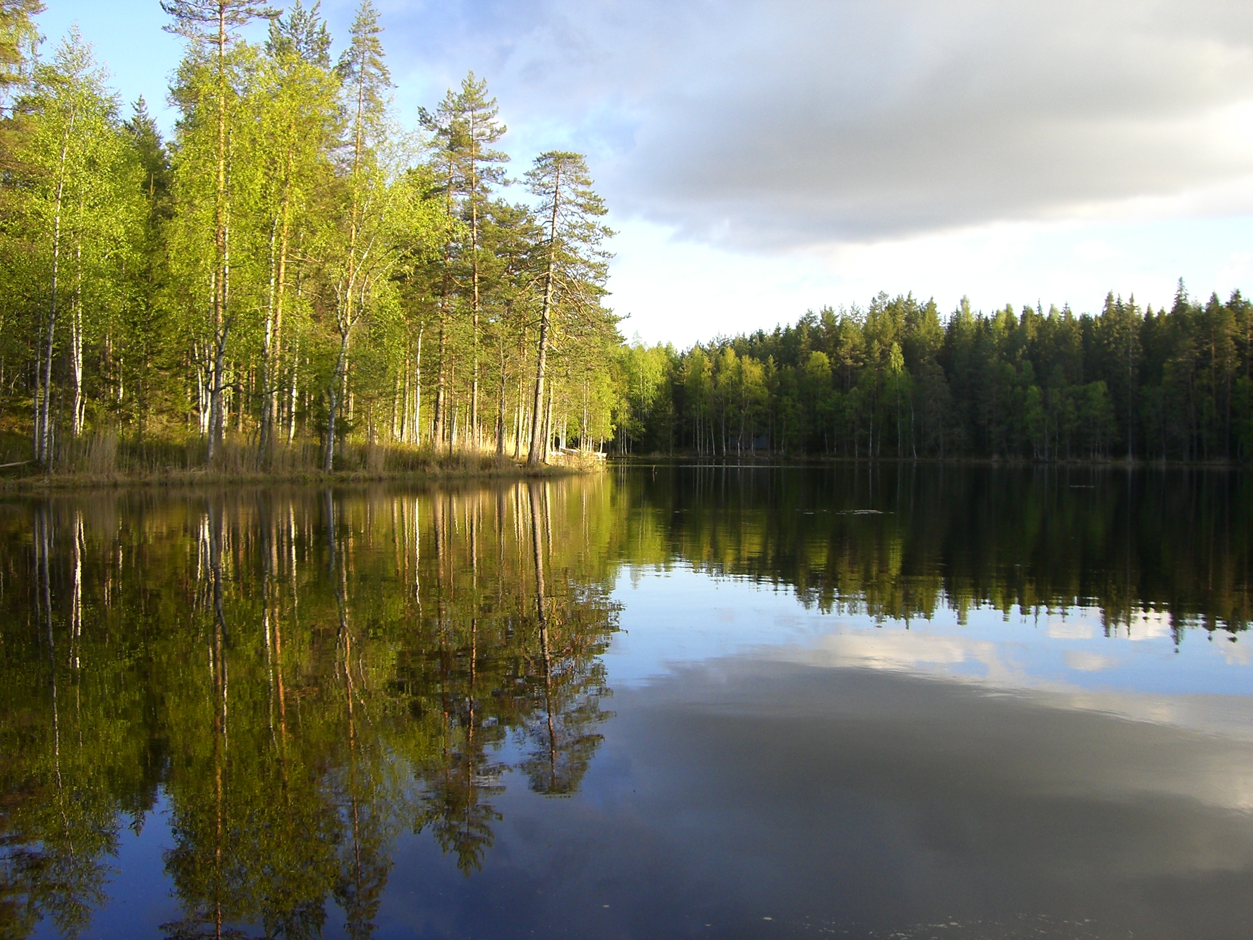
Lake view from the mökki #2

Burning Rainbow
Efecte mirall (mirror effect)
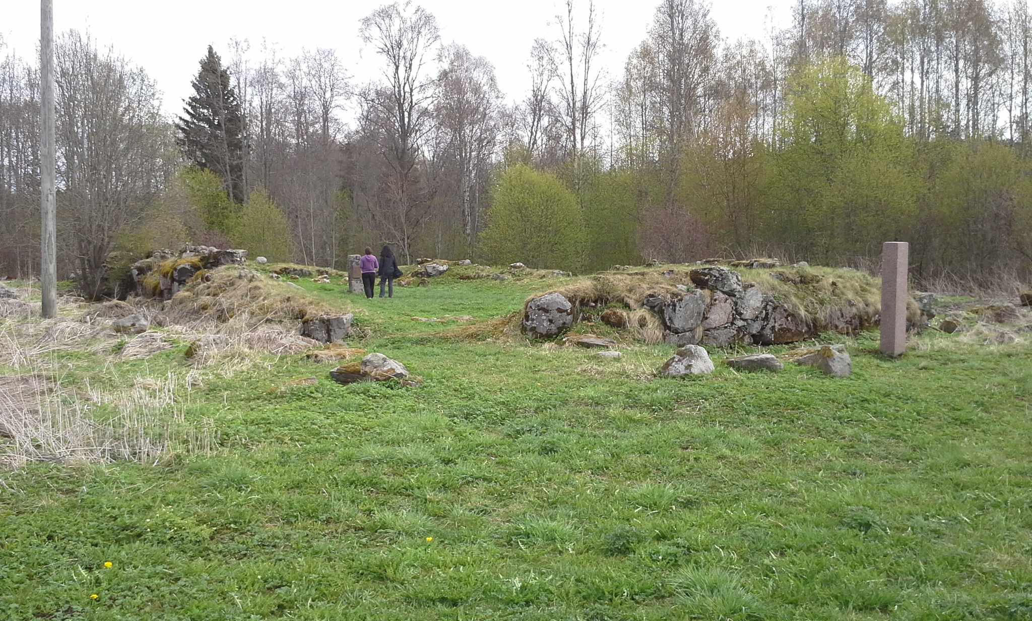
Pyhän Laurin kirkon rauniot
Cup stone

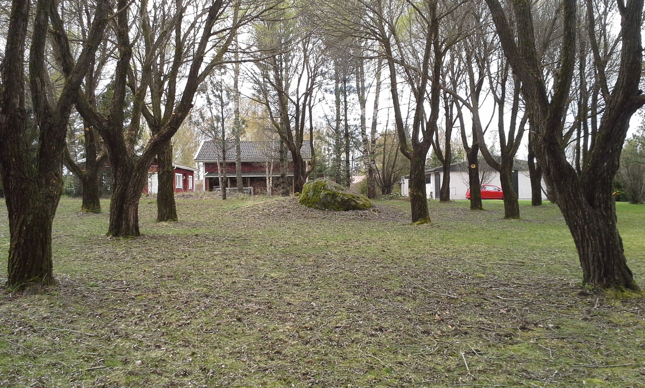
Huovilan puisto
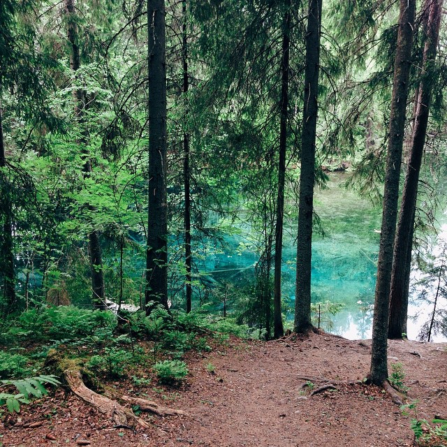
Crystal clear forest lake

Hämeenkoski
Topographic Map of Mäensyrjäntie 36, Kärkölä, Finland
Find elevation by address:

Places near Mäensyrjäntie 36, Kärkölä, Finland:
Tolkontie 56, Kärkölä, Finland
Tehdastie 55, Kärkölä, Finland
Kärkölä
Perkiöntie 82, Kärkölä, Finland
Rillitie 35, Kärkölä, Finland
Oitintie 62, Mäntsälä, Finland
Hausjärvi
Mäntsälä
Kuusimäenpolku 14, Mäntsälä, Finland
Mustamäentie 27, Mäntsälä, Finland
Metsäsianpolku 22, Mäntsälä, Finland
Majavinjärventie
Junnuntie 63, Hämeenlinna, Finland
Majavinjärventie 27
Persteentie 27, Hämeenlinna, Finland
Ahdenkalliontie, Hyvinkää, Finland
Hiekkakatu
Kellosalmentie 1, Padasjoki, Finland
Hietarannantie 22, Padasjoki, Finland
Porraskoskentie, Hämeenlinna, Finland
Recent Searches:
- Elevation of Corso Fratelli Cairoli, 35, Macerata MC, Italy
- Elevation of Tallevast Rd, Sarasota, FL, USA
- Elevation of 4th St E, Sonoma, CA, USA
- Elevation of Black Hollow Rd, Pennsdale, PA, USA
- Elevation of Oakland Ave, Williamsport, PA, USA
- Elevation of Pedrógão Grande, Portugal
- Elevation of Klee Dr, Martinsburg, WV, USA
- Elevation of Via Roma, Pieranica CR, Italy
- Elevation of Tavkvetili Mountain, Georgia
- Elevation of Hartfords Bluff Cir, Mt Pleasant, SC, USA