Elevation of M41, Kichi-Karakol, Kyrgyzstan
Location: Kyrgyzstan > Osh Province > Alay District >
Longitude: 73.4184945
Latitude: 39.8987316
Elevation: -10000m / -32808feet
Barometric Pressure: 295KPa
Elevation Map:
Satellite Map:
Related Photos:

Camp with a view... :-)

Sunset view from our campspot.

Start of the Pamir highway

Horses in Mountains - Osh to Sary Tash, Kyrgyzstan

Snow-Capped Mountains - Osh to Sary Tash, Kyrgyzstan

Mountain Scenes from Osh to Sary Tash, Kyrgyzstan
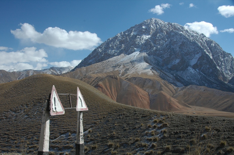
Kyrgyz Road Signs - Osh to Sary Tash, Kyrgyzstan

Village in Valley - Osh to Sary Tash, Kyrgyzstan
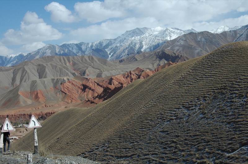
Kyrgyz Road Signs and Mountains - Osh to Sary Tash, Kyrgyzstan
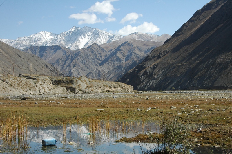
Mountain Reflections - Osh to Sary Tash, Kyrgyzstan

Kyrgyz Mountains and Hills - Osh to Sary Tash, Kyrgyzstan

Red rocks

Transport Trucks from China

Village of Chy-Tala’a
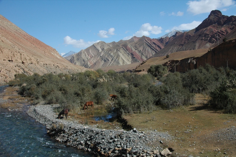
Mountainscapes and Horses - Osh to Sary Tash, Kyrgyzstan

Sandstone Cliffs Along the Gulcha River

Crimson Landscape

Mittagsrast mit Pferden

Truck stop

das Tal des Gültschö

Outside the village of Ak-Bosogo

Mountain Landscapes - Osh to Sary Tash, Kyrgyzstan

Village of Ush-Dobo
Topographic Map of M41, Kichi-Karakol, Kyrgyzstan
Find elevation by address:

Places near M41, Kichi-Karakol, Kyrgyzstan:
Recent Searches:
- Elevation of Corso Fratelli Cairoli, 35, Macerata MC, Italy
- Elevation of Tallevast Rd, Sarasota, FL, USA
- Elevation of 4th St E, Sonoma, CA, USA
- Elevation of Black Hollow Rd, Pennsdale, PA, USA
- Elevation of Oakland Ave, Williamsport, PA, USA
- Elevation of Pedrógão Grande, Portugal
- Elevation of Klee Dr, Martinsburg, WV, USA
- Elevation of Via Roma, Pieranica CR, Italy
- Elevation of Tavkvetili Mountain, Georgia
- Elevation of Hartfords Bluff Cir, Mt Pleasant, SC, USA