Elevation of Lynnville, TN, USA
Location: United States > Tennessee > Giles County >
Longitude: -87.006117
Latitude: 35.3767432
Elevation: 229m / 751feet
Barometric Pressure: 99KPa
Elevation Map:
Satellite Map:
Related Photos:

CW3306 Winter

unsteady but shady

in the shade

CW3306 Early Spring

CW3306 Fall

CW3306 Summer
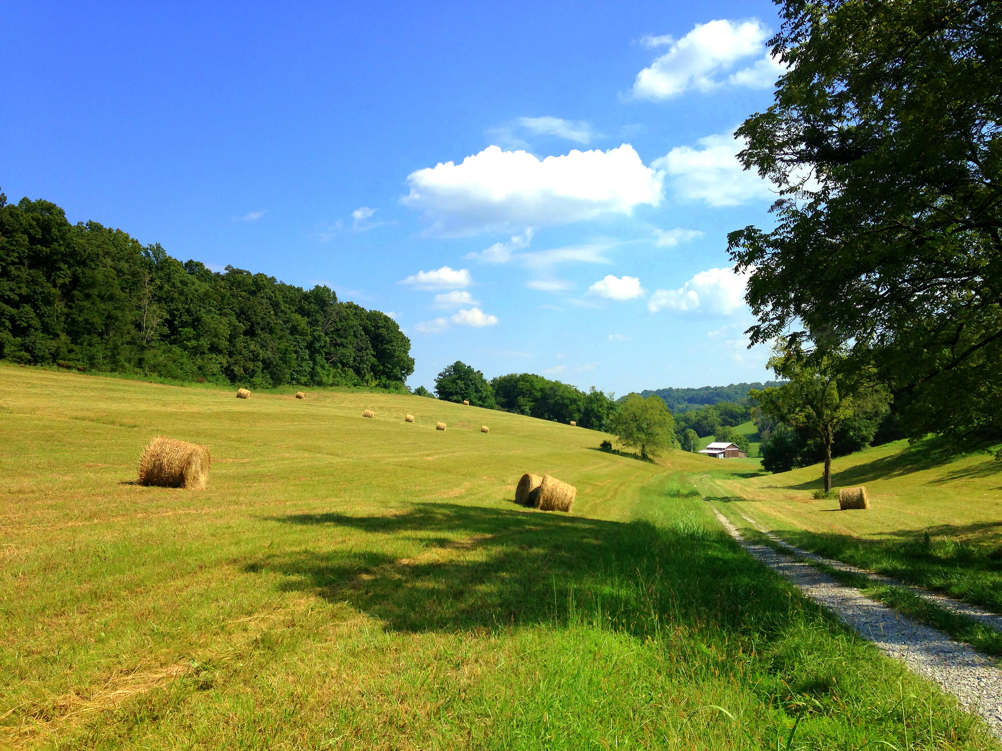
Hay Field

Morning Fog

If you take the time to explore

Bright sun and ice on the cliffs. Brrrrrr. Trouble is, I don't think it's much warmer in Louisiana either......

NEW LAKE

NEW LAKE
Topographic Map of Lynnville, TN, USA
Find elevation by address:

Places near Lynnville, TN, USA:
2986 Dodson Gap Rd
Pulaski Hwy, Culleoka, TN, USA
Culleoka, TN, USA
Odd Fellows Hall Rd, Pulaski, TN, USA
2436 Campbells Station Rd
Culleoka
Pulaski Hwy, Culleoka, TN, USA
3399 Mooresville Hwy
2540 Blue Creek Rd
4006 Covey Hollow Rd
Old Brush Creek Rd, Columbia, TN, USA
112 Amy Dr
1855 Lochlann Dr
1840 Lochlann Dr
1852 Lochlann Dr
1854 Lochlann Dr
Pulaski Hwy, Columbia, TN, USA
159 Knubbin Ridge Rd
Blooming Grove Road
1980 Shuler Branch Rd
Recent Searches:
- Elevation of Corso Fratelli Cairoli, 35, Macerata MC, Italy
- Elevation of Tallevast Rd, Sarasota, FL, USA
- Elevation of 4th St E, Sonoma, CA, USA
- Elevation of Black Hollow Rd, Pennsdale, PA, USA
- Elevation of Oakland Ave, Williamsport, PA, USA
- Elevation of Pedrógão Grande, Portugal
- Elevation of Klee Dr, Martinsburg, WV, USA
- Elevation of Via Roma, Pieranica CR, Italy
- Elevation of Tavkvetili Mountain, Georgia
- Elevation of Hartfords Bluff Cir, Mt Pleasant, SC, USA