Elevation of Lyngen Alps, Lyngen, Norway
Location: Norway > Troms > Lyngen >
Longitude: 20.17
Latitude: 69.79
Elevation: 1021m / 3350feet
Barometric Pressure: 90KPa
Elevation Map:
Satellite Map:
Related Photos:

Crazy views not done yet! #sunset #norway #abovethearcticcircle #msnordkapp #hurtigruten #lyngen #fjord

The views are getting ridiculous. #msnordkapp #hurtigruten #abovethearcticcircle #norway #nordkapp #norwegiansea #fjord #sunset #lyngen #nofilter

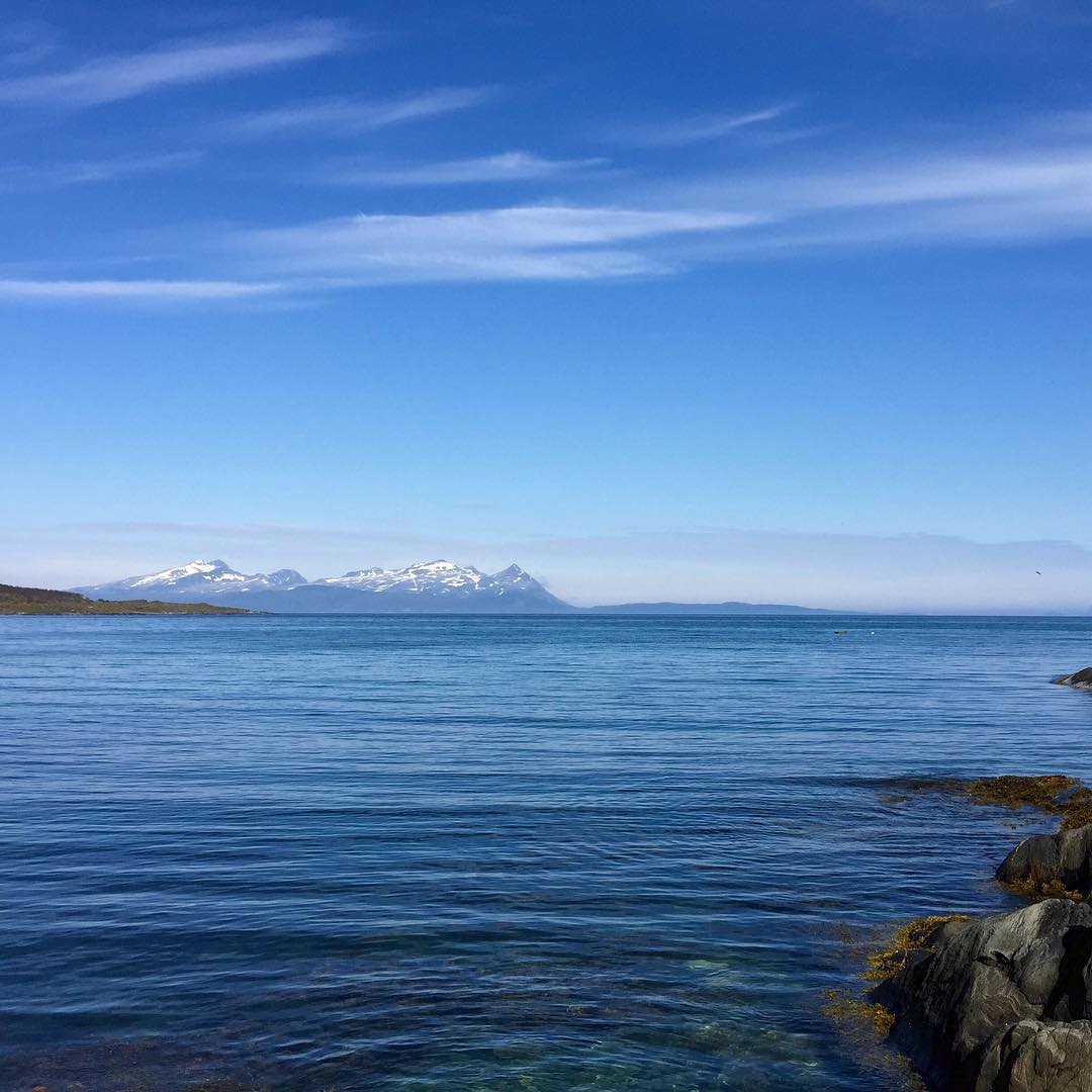
View of the Lyngenfjord.

View of the Lyngenfjord.

View of the Lyngenfjord.

View of the Lyngenfjord.

View of the Lyngenfjord.
#norway #view #bluesky
Topographic Map of Lyngen Alps, Lyngen, Norway
Find elevation by address:

Places near Lyngen Alps, Lyngen, Norway:
Lyngen
E6, Oteren, Norway
Storfjord
E6, Oteren, Norway
Storfjord
Malla Strict Nature Reserve
Käsivarrentie, Enontekiö, Finland
Naalikuja
Recent Searches:
- Elevation of Corso Fratelli Cairoli, 35, Macerata MC, Italy
- Elevation of Tallevast Rd, Sarasota, FL, USA
- Elevation of 4th St E, Sonoma, CA, USA
- Elevation of Black Hollow Rd, Pennsdale, PA, USA
- Elevation of Oakland Ave, Williamsport, PA, USA
- Elevation of Pedrógão Grande, Portugal
- Elevation of Klee Dr, Martinsburg, WV, USA
- Elevation of Via Roma, Pieranica CR, Italy
- Elevation of Tavkvetili Mountain, Georgia
- Elevation of Hartfords Bluff Cir, Mt Pleasant, SC, USA