Elevation of Lynchburg, SC, USA
Location: United States > South Carolina > Lee County >
Longitude: -80.07146
Latitude: 34.0601571
Elevation: 46m / 151feet
Barometric Pressure: 101KPa
Elevation Map:
Satellite Map:
Related Photos:
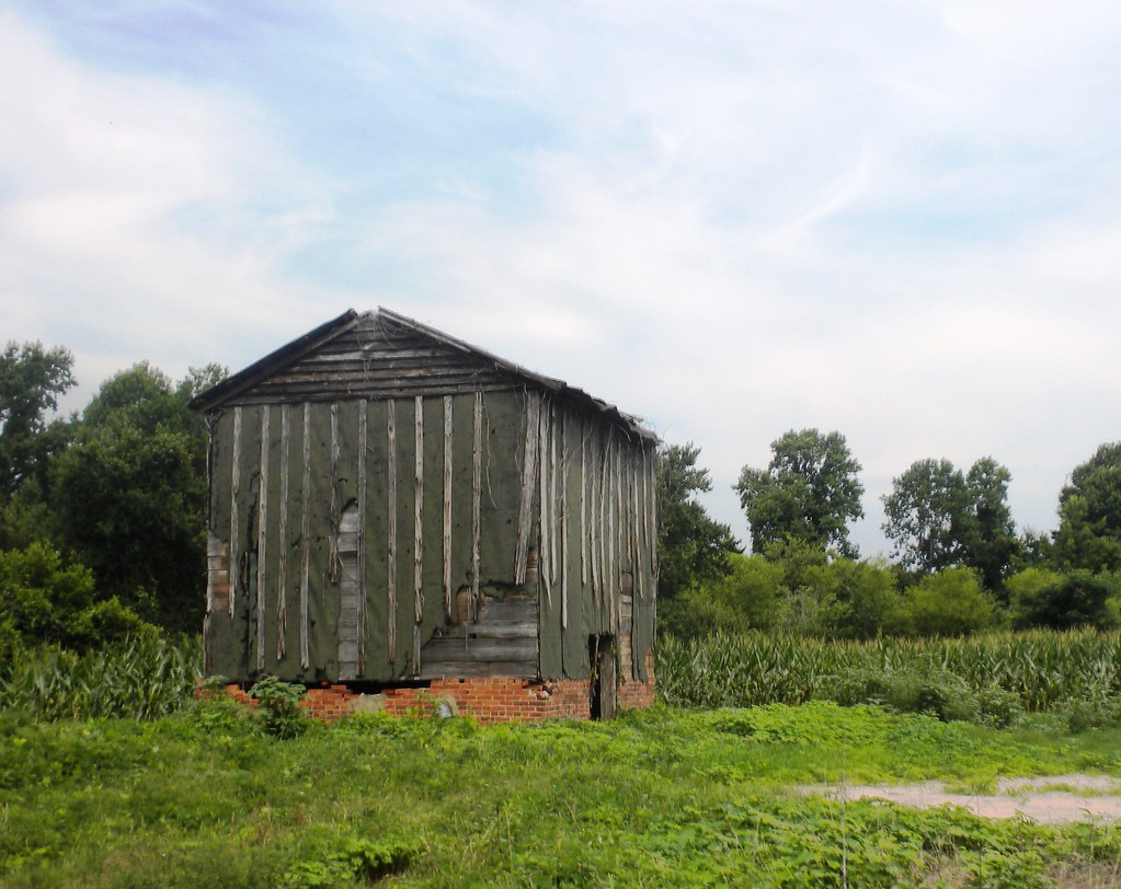
old barn
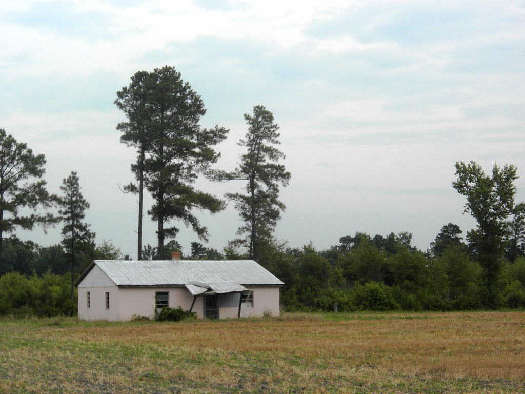
pink house
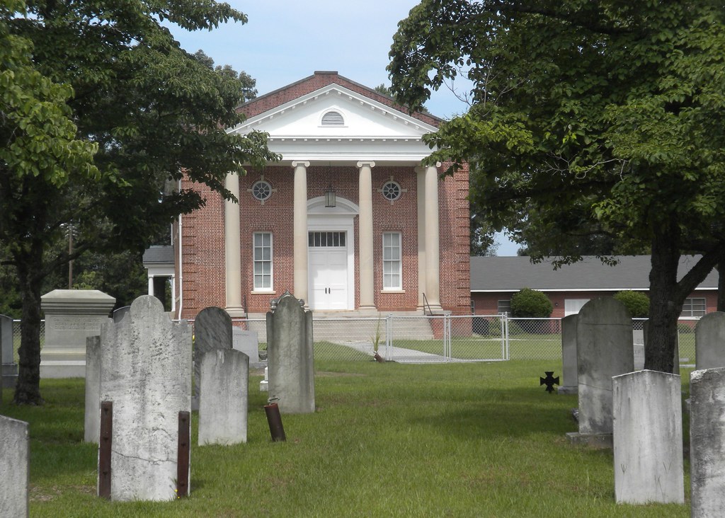
Mount Zion Church
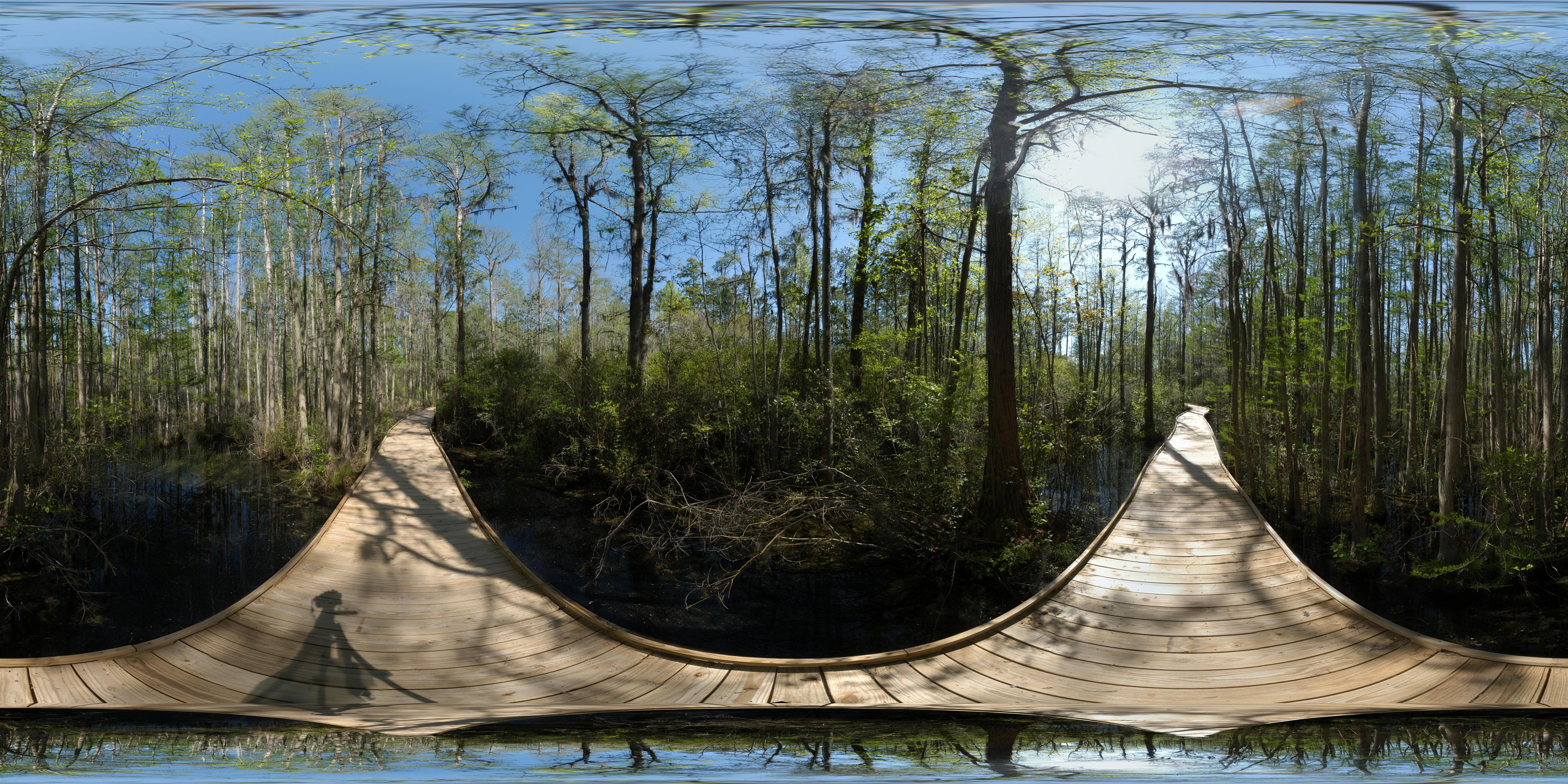
Wood's Bay Heritage Preserve (360° x 180°)

tasty lunch
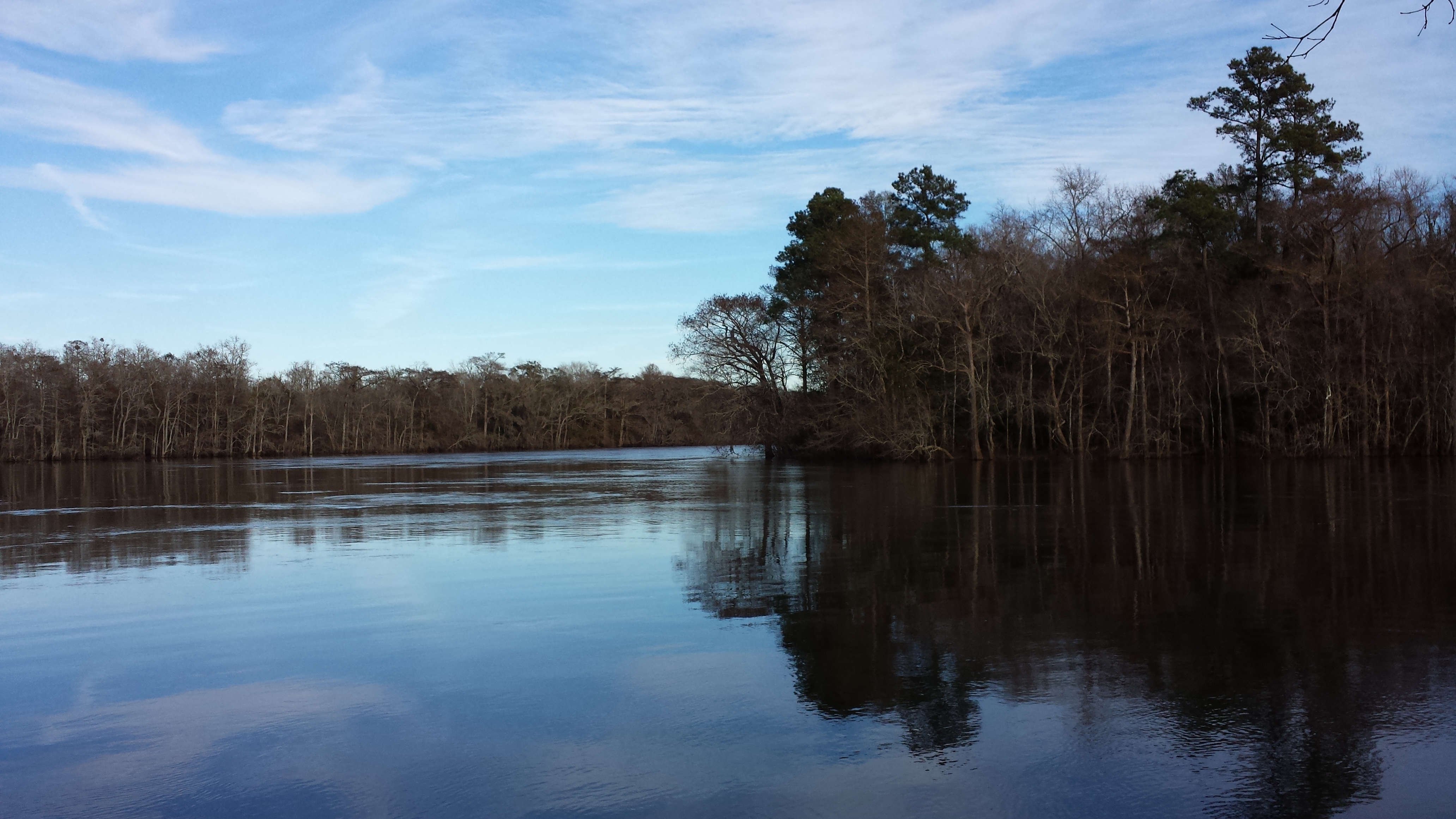
The PD River
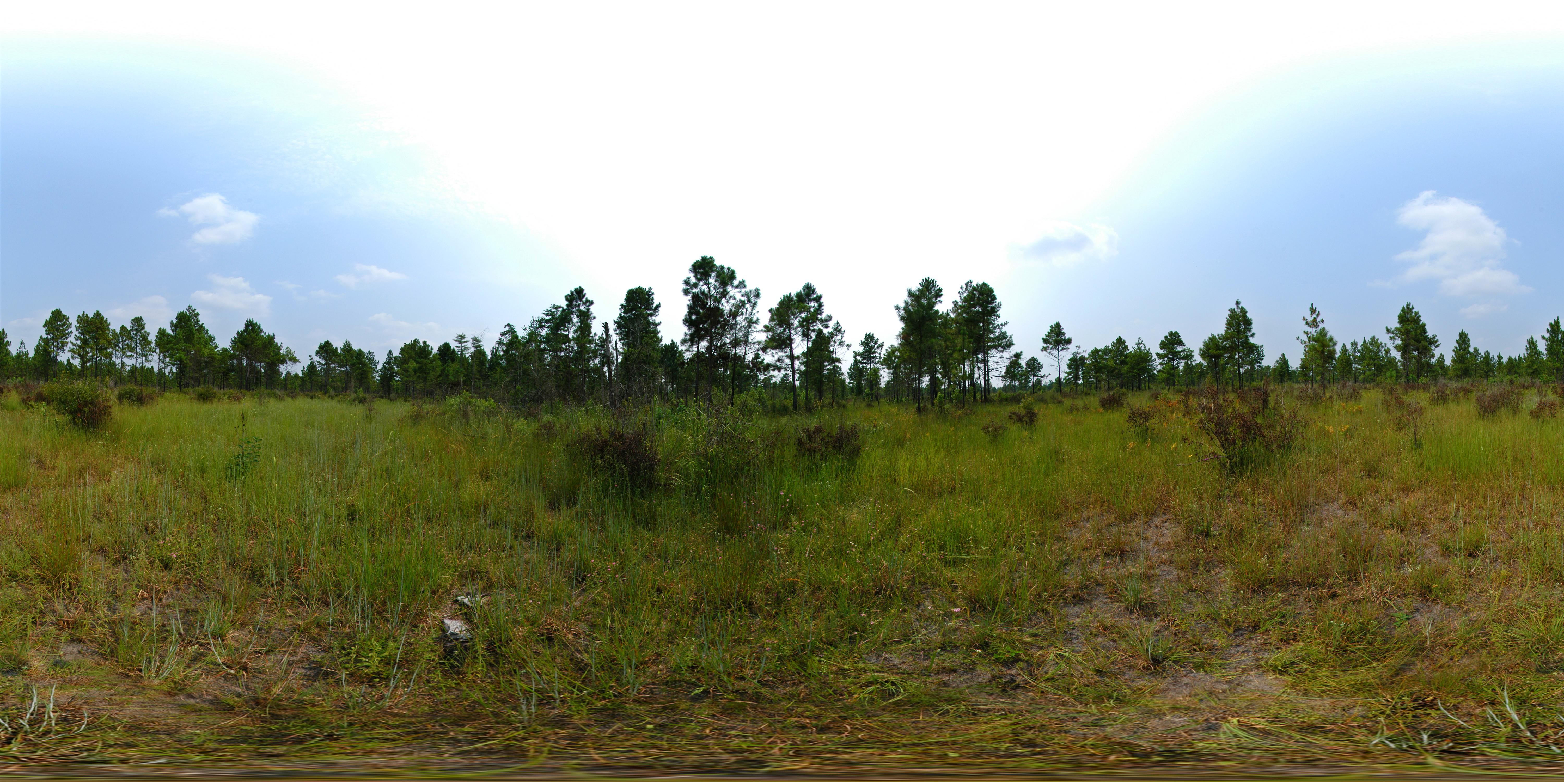
Lynchburg Savanna Heritage Preserve

Helianthus angustifolius (Narrowleaf sunflower)
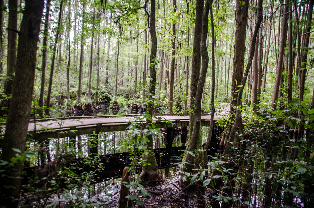
Woods Bay State Park

Woods Bay State Park
Topographic Map of Lynchburg, SC, USA
Find elevation by address:

Places in Lynchburg, SC, USA:
Places near Lynchburg, SC, USA:
85 Timmons St
Cartersville
Vista Ln, Lynchburg, SC, USA
330 E Lynches River Rd
Lamar
North Ham Road
Puddin Swamp Rd, Lynchburg, SC, USA
Shiloh
206 N Hill St
Oates Hwy, Lamar, SC, USA
Timmonsville
Mt Zion Rd, Olanta, SC, USA
Windsong Lane
916 Celtic Ln
Olanta
E 7 Pines St, Hartsville, SC, USA
6003 Langston Rd
1011 Cedarwood Cir
4336 Bedford Ln
State Rd S-21-53, Timmonsville, SC, USA
Recent Searches:
- Elevation of Corso Fratelli Cairoli, 35, Macerata MC, Italy
- Elevation of Tallevast Rd, Sarasota, FL, USA
- Elevation of 4th St E, Sonoma, CA, USA
- Elevation of Black Hollow Rd, Pennsdale, PA, USA
- Elevation of Oakland Ave, Williamsport, PA, USA
- Elevation of Pedrógão Grande, Portugal
- Elevation of Klee Dr, Martinsburg, WV, USA
- Elevation of Via Roma, Pieranica CR, Italy
- Elevation of Tavkvetili Mountain, Georgia
- Elevation of Hartfords Bluff Cir, Mt Pleasant, SC, USA