Elevation of Lupane, Zimbabwe
Location: Zimbabwe > Matabeleland North Province > Lupane >
Longitude: 27.7593273
Latitude: -18.930012
Elevation: 984m / 3228feet
Barometric Pressure: 90KPa
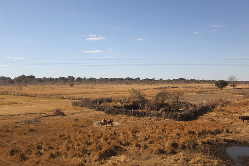
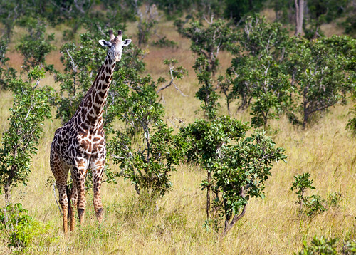
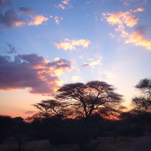
Related Photos:
Topographic Map of Lupane, Zimbabwe
Find elevation by address:

Places near Lupane, Zimbabwe:
Recent Searches:
- Elevation of Corso Fratelli Cairoli, 35, Macerata MC, Italy
- Elevation of Tallevast Rd, Sarasota, FL, USA
- Elevation of 4th St E, Sonoma, CA, USA
- Elevation of Black Hollow Rd, Pennsdale, PA, USA
- Elevation of Oakland Ave, Williamsport, PA, USA
- Elevation of Pedrógão Grande, Portugal
- Elevation of Klee Dr, Martinsburg, WV, USA
- Elevation of Via Roma, Pieranica CR, Italy
- Elevation of Tavkvetili Mountain, Georgia
- Elevation of Hartfords Bluff Cir, Mt Pleasant, SC, USA


