Elevation of Luang Namtha, Laos
Location: Laos > Luang Namtha Province >
Longitude: 101.411204
Latitude: 20.9709135
Elevation: 547m / 1795feet
Barometric Pressure: 95KPa
Elevation Map:
Satellite Map:
Related Photos:

View From Our Bedroom Window at Homestay, Luang Namtha, Laos
Luang Namtha Royal Hotel

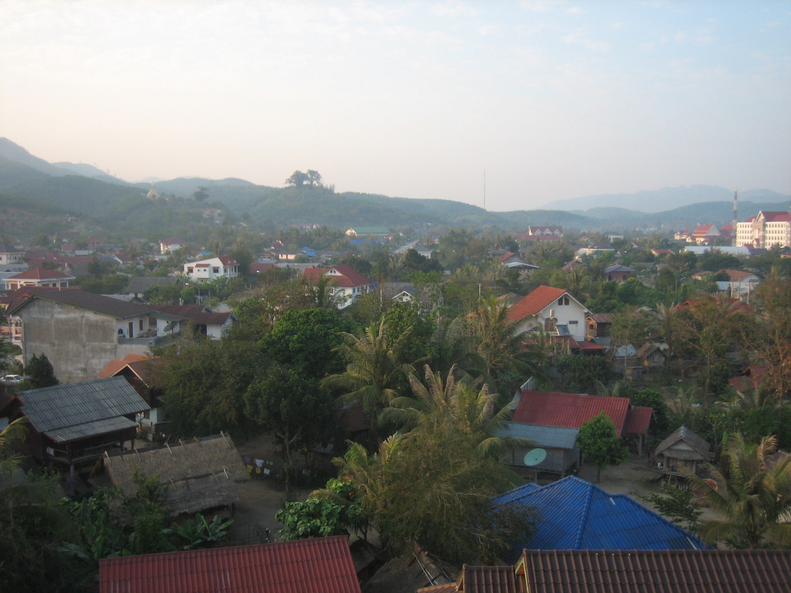
Laos 2013: Luang Namtha evening views
something like a view

village view
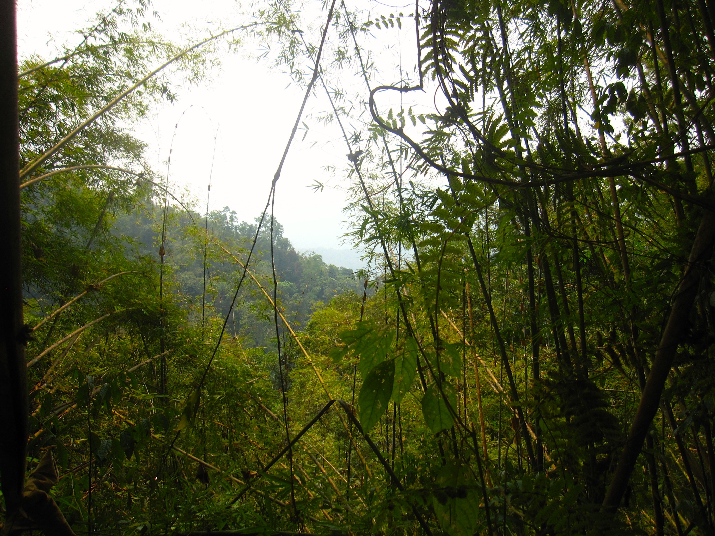
Views whilst trekking

Views whilst trekking
Views whilst trekking

Views whilst trekking

Views whilst trekking
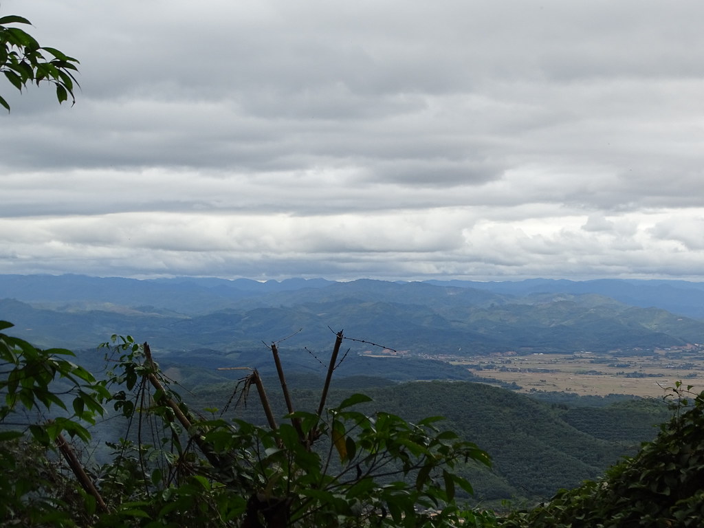
Views whilst trekking

20111106-Luang Namtha-42.jpg
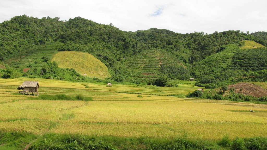
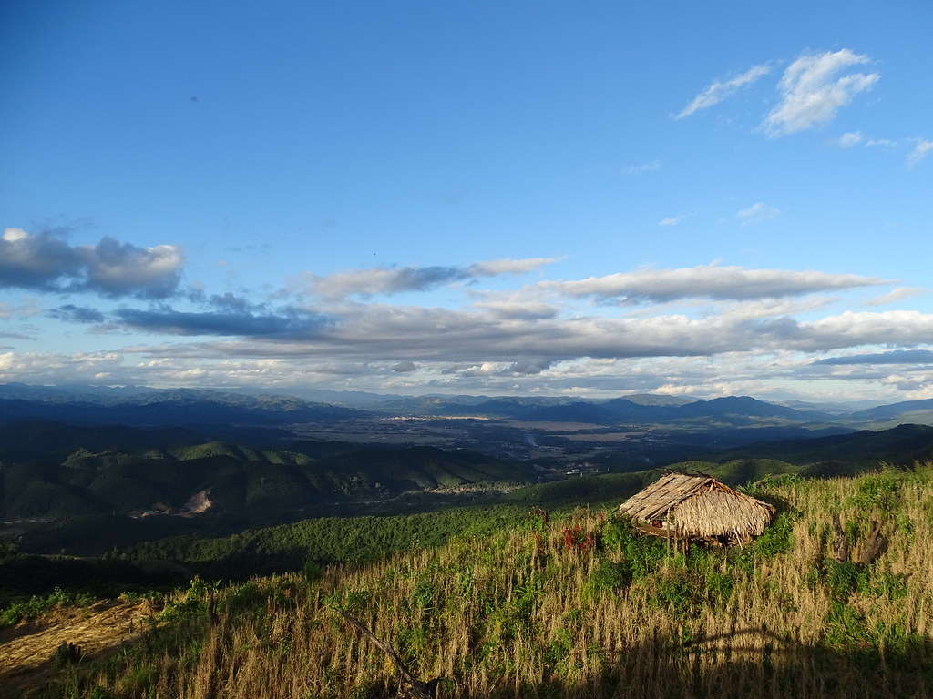
Landscape of Luang Nam Tha

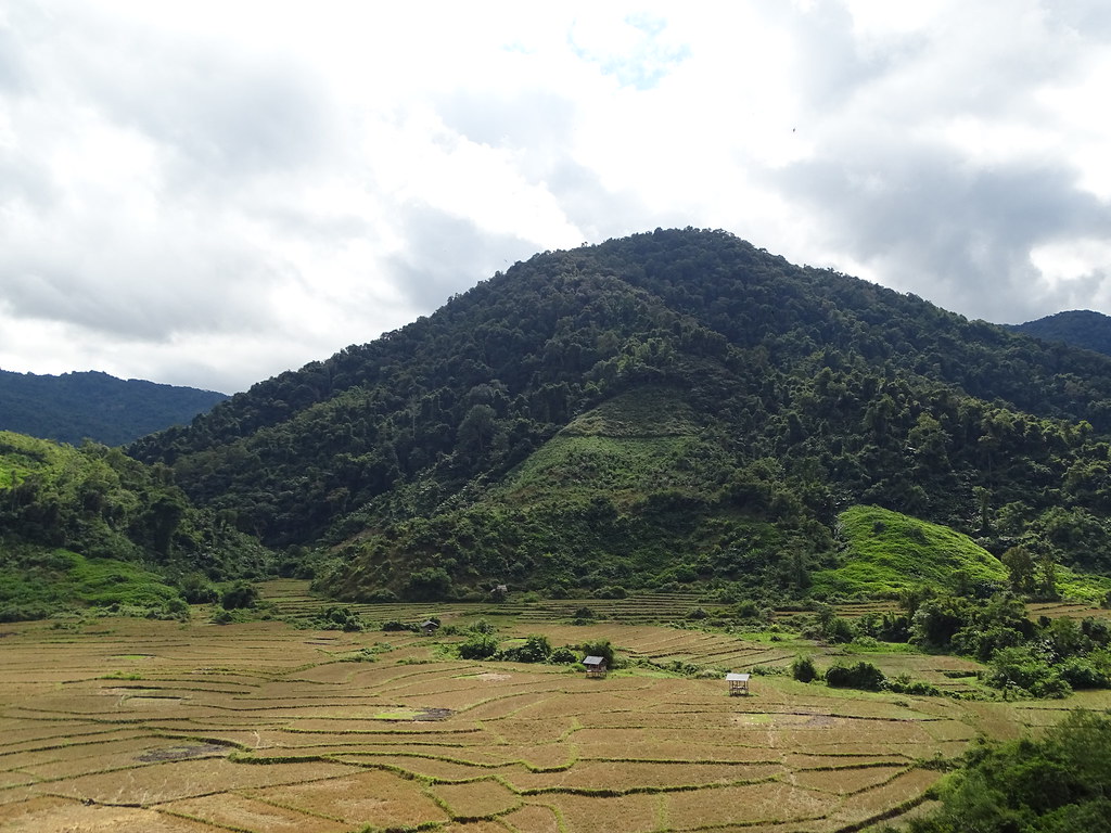
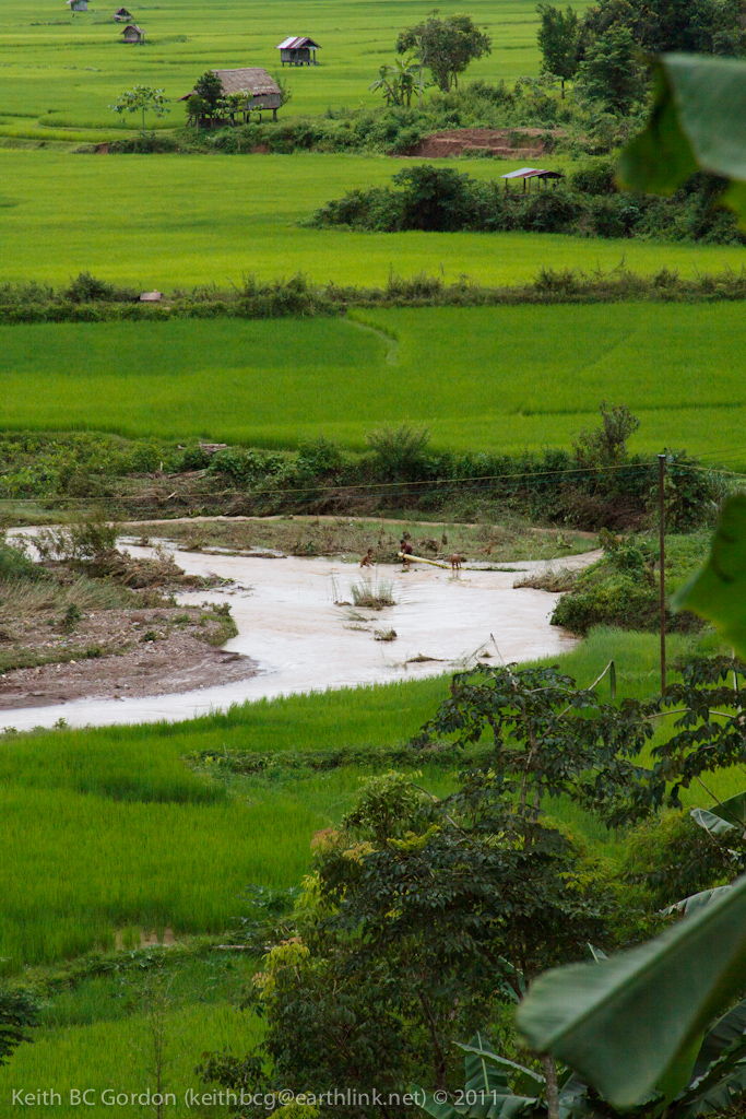
Rice, rice ... rice, where ever you are
All Imported-455

Landscape of Luang Nam Tha

Landscape of Luang Nam Tha
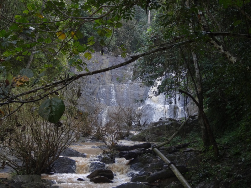
On the way to the waterfall

Treck, Luang Nam Tha.

Sticky Rice Farm, Luang Namtha

Luang Namtha, northern Laos
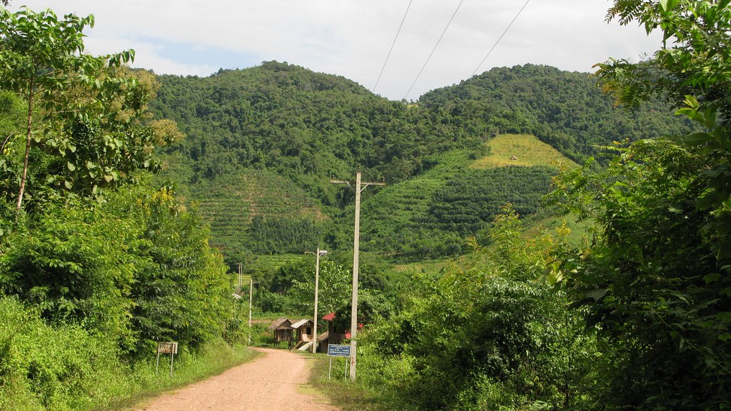
Landscape of Luang Nam Tha

Rice field
Topographic Map of Luang Namtha, Laos
Find elevation by address:

Places in Luang Namtha, Laos:
Places near Luang Namtha, Laos:
Namtha Riverside Guesthouse
Thong Om
Thoulasith Guesthouse
Zuela Guesthouse & Restaurant
Nateuy
Oudomxay
Muang Xai
Oudomxay Province
Muang Houn
Pak Mong
Muang Khua
Nong Khiaw
Luang Prabang
Laungprabang Knife Blacksmith Shope
Luang Prabang Province
Laos
Recent Searches:
- Elevation of Corso Fratelli Cairoli, 35, Macerata MC, Italy
- Elevation of Tallevast Rd, Sarasota, FL, USA
- Elevation of 4th St E, Sonoma, CA, USA
- Elevation of Black Hollow Rd, Pennsdale, PA, USA
- Elevation of Oakland Ave, Williamsport, PA, USA
- Elevation of Pedrógão Grande, Portugal
- Elevation of Klee Dr, Martinsburg, WV, USA
- Elevation of Via Roma, Pieranica CR, Italy
- Elevation of Tavkvetili Mountain, Georgia
- Elevation of Hartfords Bluff Cir, Mt Pleasant, SC, USA