Elevation of Loyalhanna Township, PA, USA
Location: United States > Pennsylvania > Westmoreland County >
Longitude: -79.447885
Latitude: 40.455384
Elevation: 337m / 1106feet
Barometric Pressure: 97KPa
Elevation Map:
Satellite Map:
Related Photos:

Morning sunrise from the iPhone | 2/24/14
1854 Bridge Piers
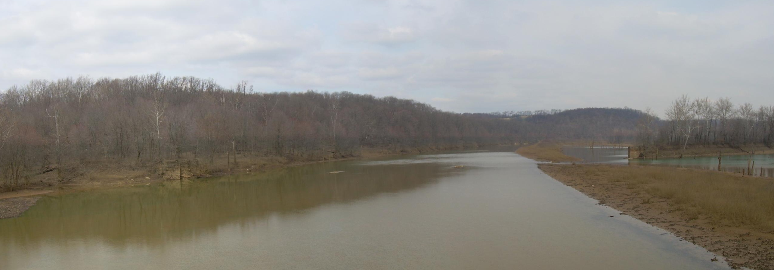
Bridge #2 and Bow Ridge

Hologram Christmas Glasses eye-view
View from Bridge #2

Work view
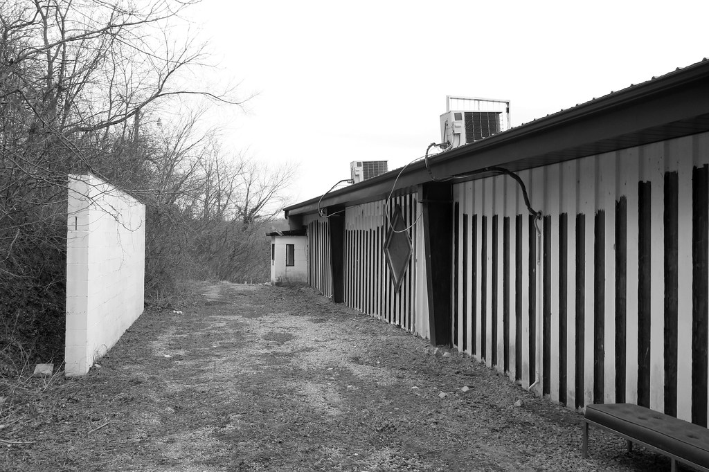
the old climax gentlemens' club (2/3)

Morning sunrise from the iPhone | 2/24/14

NS 23, "Buena Vista"
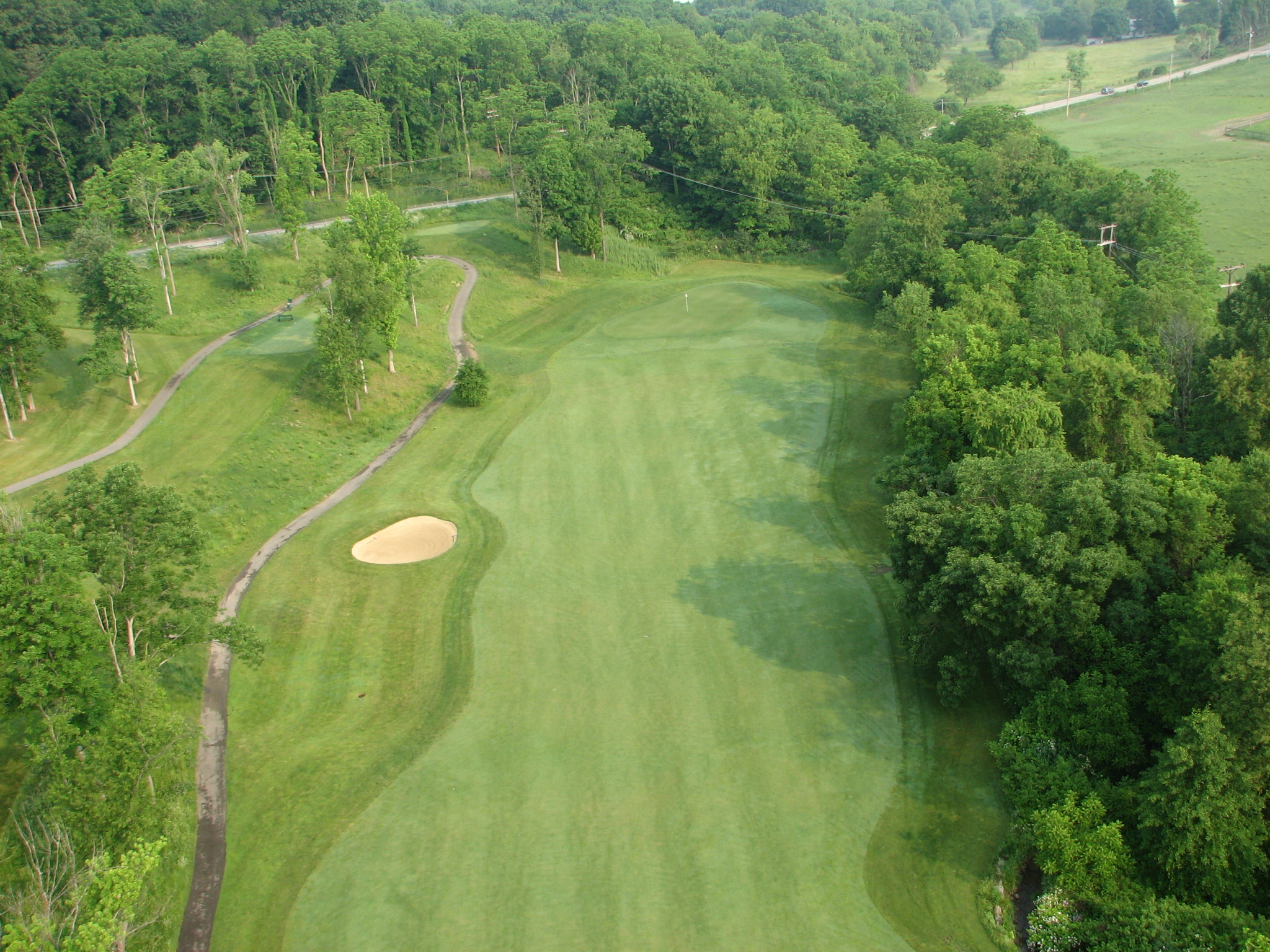
Perfect view of golf hole course

Final Surge of Summer
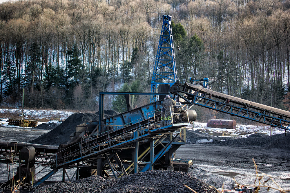
Sixteen Tons , what do you get
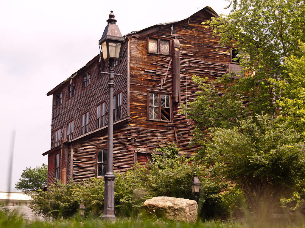
Altman Feed Mill

Roaring Run
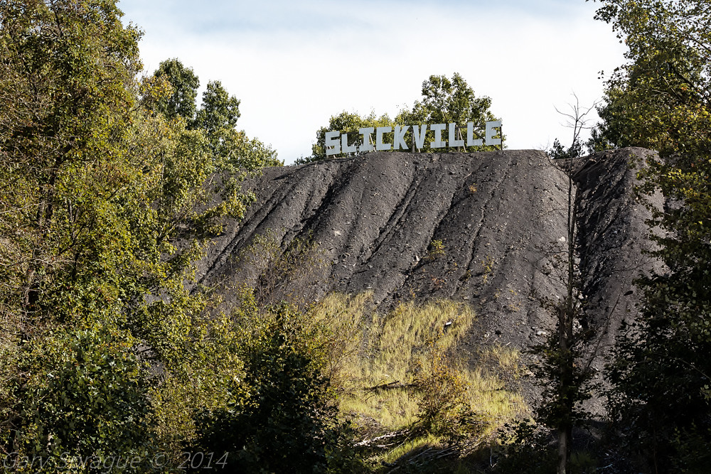
Slickville Bony

This Cruel and Beautiful World
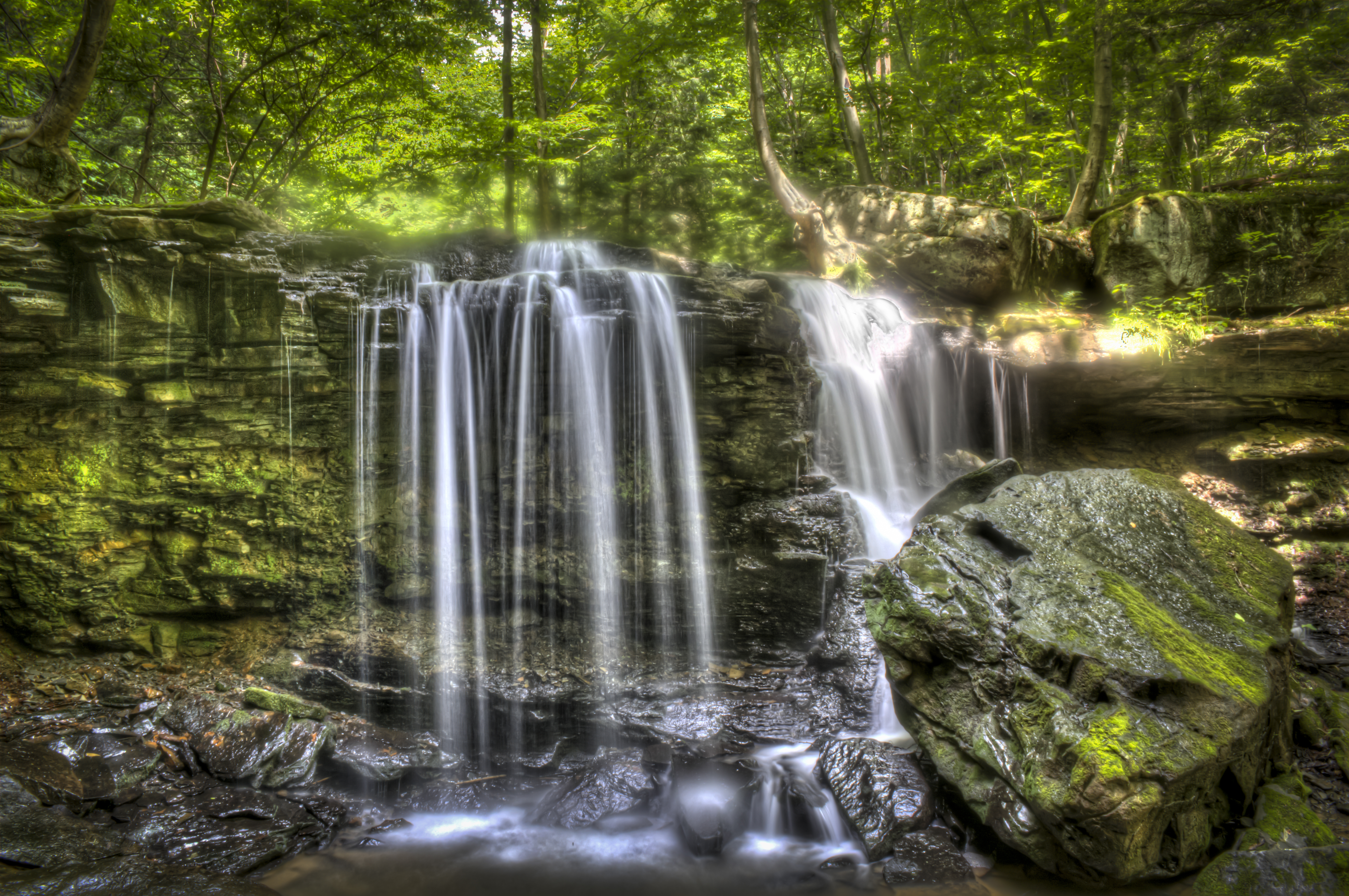
Jackson Falls

Rock Furnace Trail, Apollo
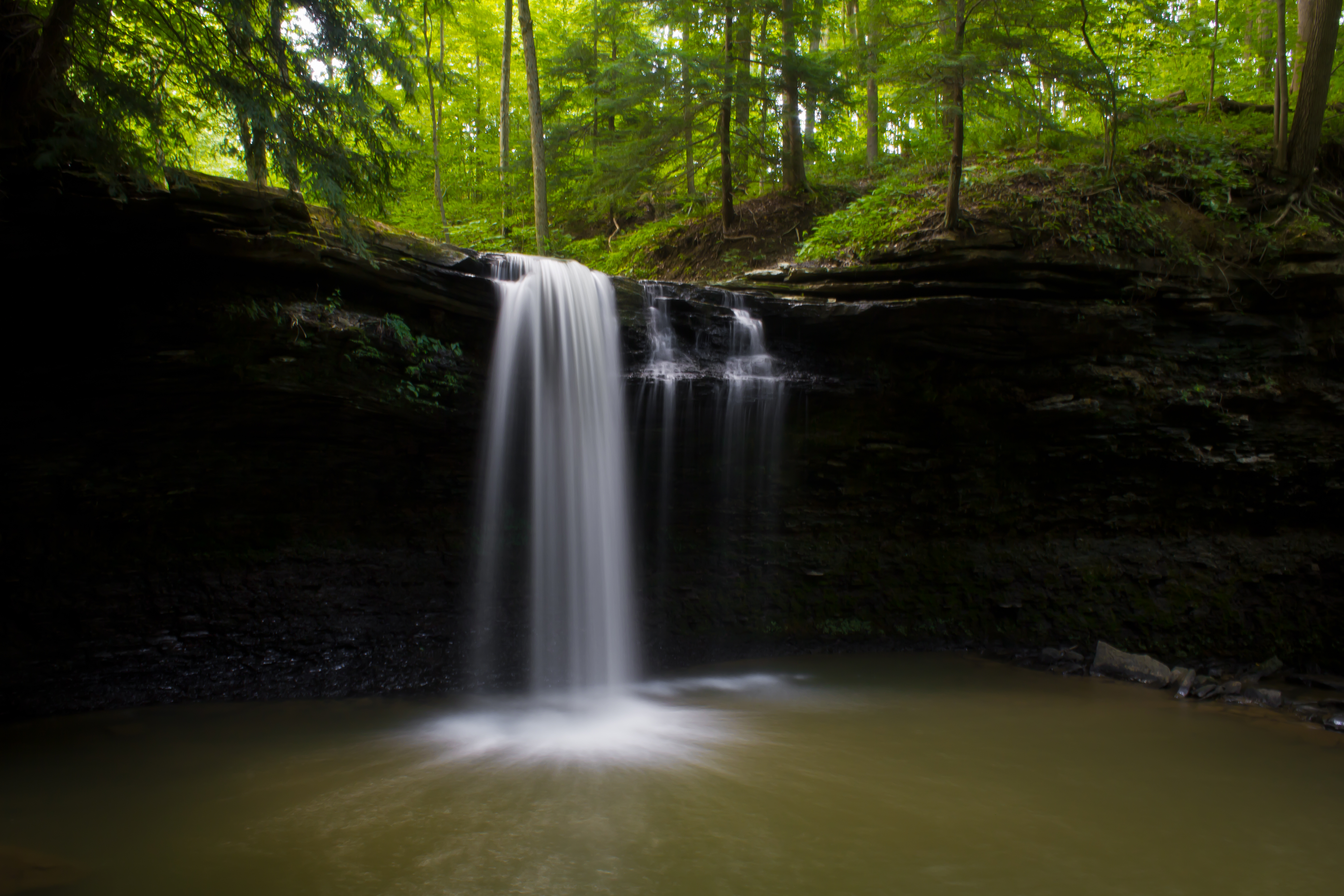
Jackson Falls
Keystone Lake State Park
Pennsylvania Mainline Canal
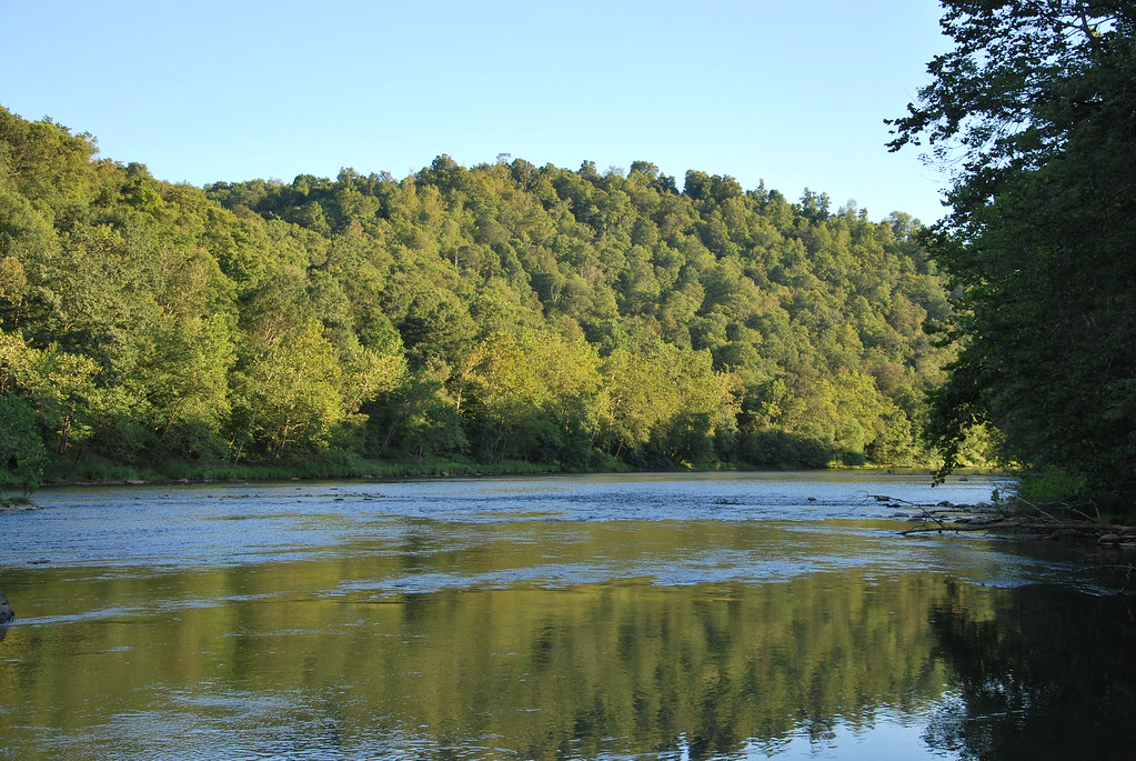
Conemaugh River
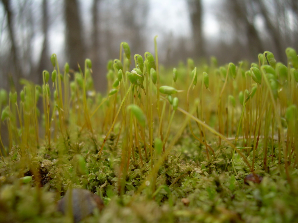
Springtime Moss

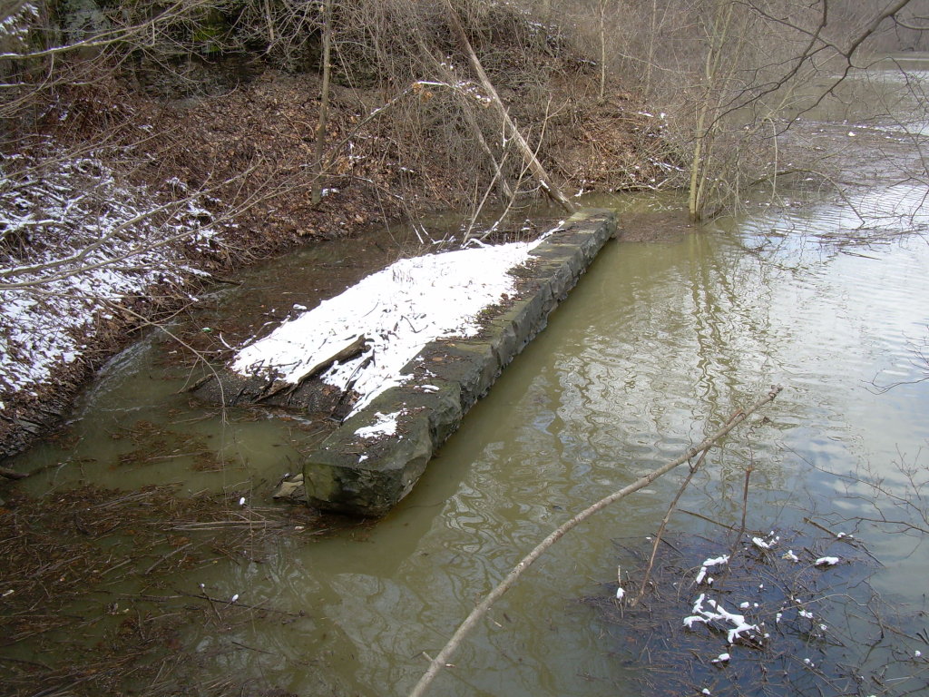
Former Bridge
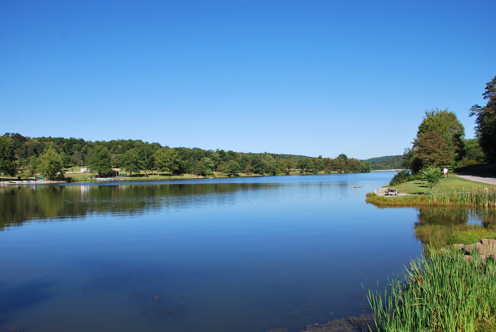
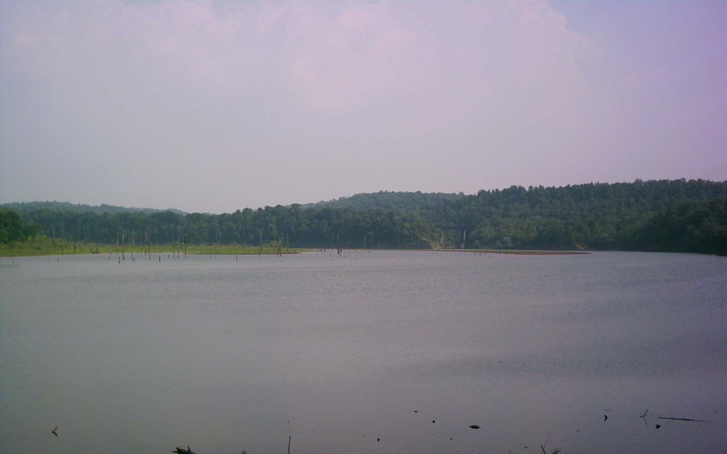
Keystone Lake
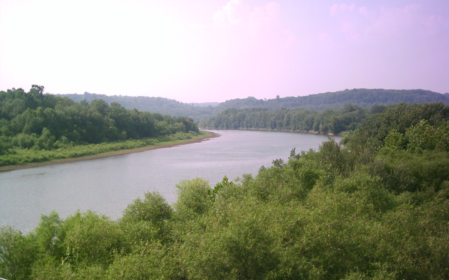
Conemaugh River
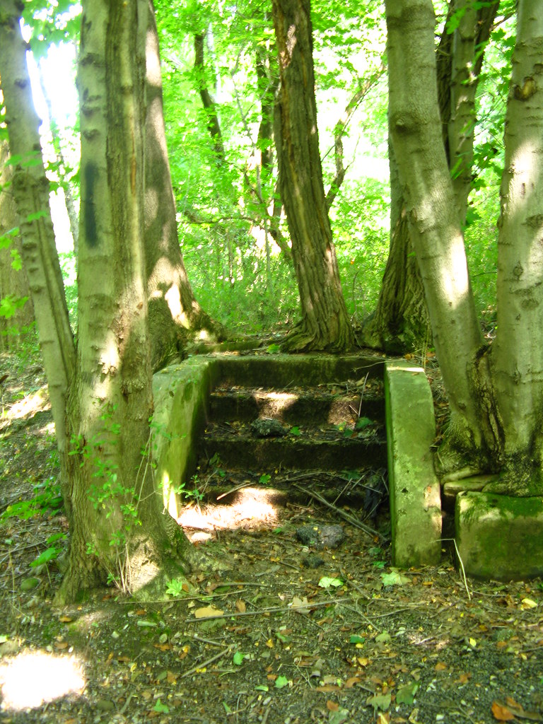
stairway in the woods
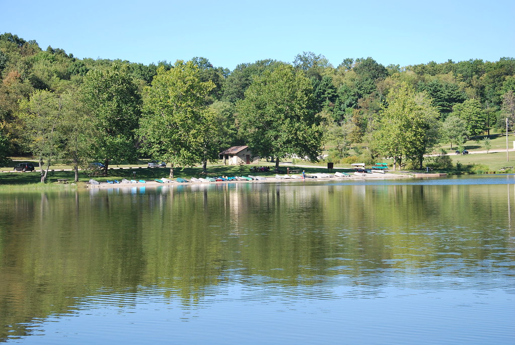
Keystone Lake Boat Rental

2015 Bike 180 Day 166
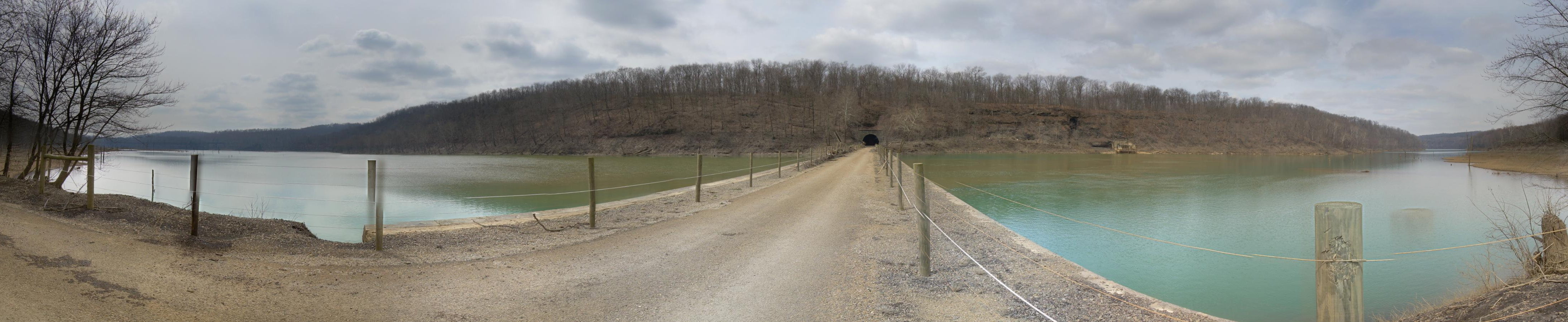
Tunnel Top
Topographic Map of Loyalhanna Township, PA, USA
Find elevation by address:

Places in Loyalhanna Township, PA, USA:
Places near Loyalhanna Township, PA, USA:
148 Philbert Ln
Moween Rd, Saltsburg, PA, USA
Saltsburg
Tunnelton Rd, Saltsburg, PA, USA
Conemaugh Township
Foster Rd, Saltsburg, PA, USA
Livermore Rd, Blairsville, PA, USA
Iselin Rd, Saltsburg, PA, USA
Newport Rd, Clarksburg, PA, USA
Young Township
Newport Rd, Blairsville, PA, USA
West Lebanon
30 Pounds Rd, Rossiter, PA, USA
Blairsville
Cedar Avenue
Burrell Township
1690 Power Plant Rd
1690 Power Plant Rd
Homer City
5 Walter Ln
Recent Searches:
- Elevation of Corso Fratelli Cairoli, 35, Macerata MC, Italy
- Elevation of Tallevast Rd, Sarasota, FL, USA
- Elevation of 4th St E, Sonoma, CA, USA
- Elevation of Black Hollow Rd, Pennsdale, PA, USA
- Elevation of Oakland Ave, Williamsport, PA, USA
- Elevation of Pedrógão Grande, Portugal
- Elevation of Klee Dr, Martinsburg, WV, USA
- Elevation of Via Roma, Pieranica CR, Italy
- Elevation of Tavkvetili Mountain, Georgia
- Elevation of Hartfords Bluff Cir, Mt Pleasant, SC, USA