Elevation of Lowland Campground, Butte, MT, United States
Location: United States > Montana > Silver Bow County > Butte >
Longitude: -112.50446
Latitude: 46.1396499
Elevation: 2005m / 6578feet
Barometric Pressure: 79KPa
Elevation Map:
Satellite Map:
Related Photos:
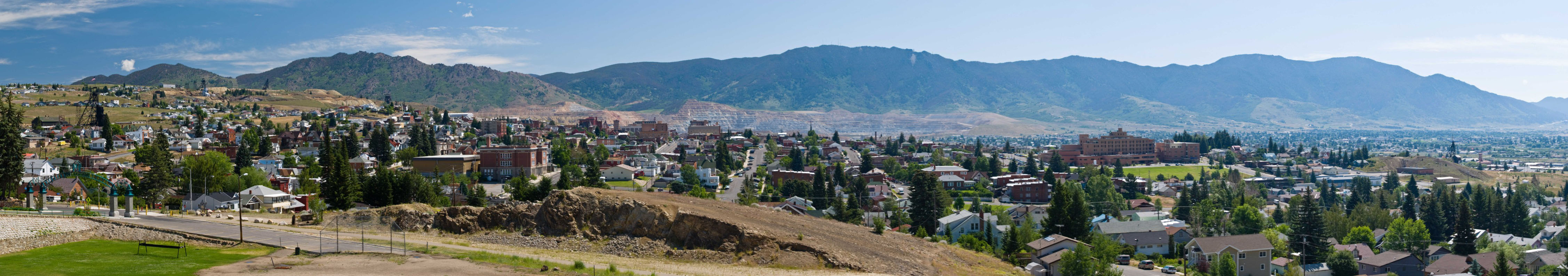
Big Sky Country
Topographic Map of Lowland Campground, Butte, MT, United States
Find elevation by address:

Places near Lowland Campground, Butte, MT, United States:
Walkerville
117 W Daly St
153 W Pacific St
Ryan Rd & Rising Star
915 15th St
401 N Main St
110 N Washington St
601 W Silver St
Butte
1005 S Colorado St
1834 Wilson Ave
1401 A St
1100 A St
Northwestern Energy
1900 S Jackson St
432 Angel Dr
2340 Cornell Ave
207 Bavaria St
208 Bavaria St
208 Bavaria St
Recent Searches:
- Elevation of Corso Fratelli Cairoli, 35, Macerata MC, Italy
- Elevation of Tallevast Rd, Sarasota, FL, USA
- Elevation of 4th St E, Sonoma, CA, USA
- Elevation of Black Hollow Rd, Pennsdale, PA, USA
- Elevation of Oakland Ave, Williamsport, PA, USA
- Elevation of Pedrógão Grande, Portugal
- Elevation of Klee Dr, Martinsburg, WV, USA
- Elevation of Via Roma, Pieranica CR, Italy
- Elevation of Tavkvetili Mountain, Georgia
- Elevation of Hartfords Bluff Cir, Mt Pleasant, SC, USA