Elevation of Lower Vaughan, NS B0N 2T0, Canada
Location: Canada > Nova Scotia > Hants County > West Hants > Windsor >
Longitude: -64.255448
Latitude: 44.833909
Elevation: 140m / 459feet
Barometric Pressure: 100KPa
Elevation Map:
Satellite Map:
Related Photos:
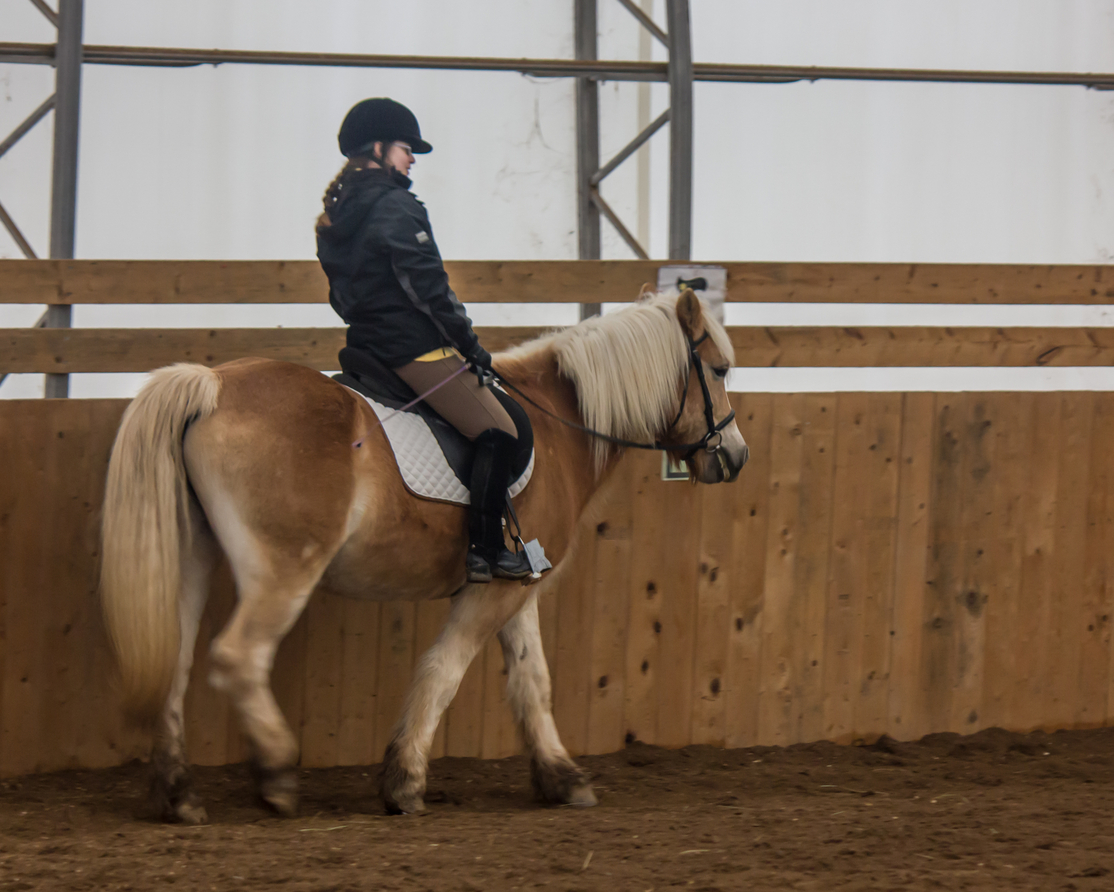
Riding Lesson
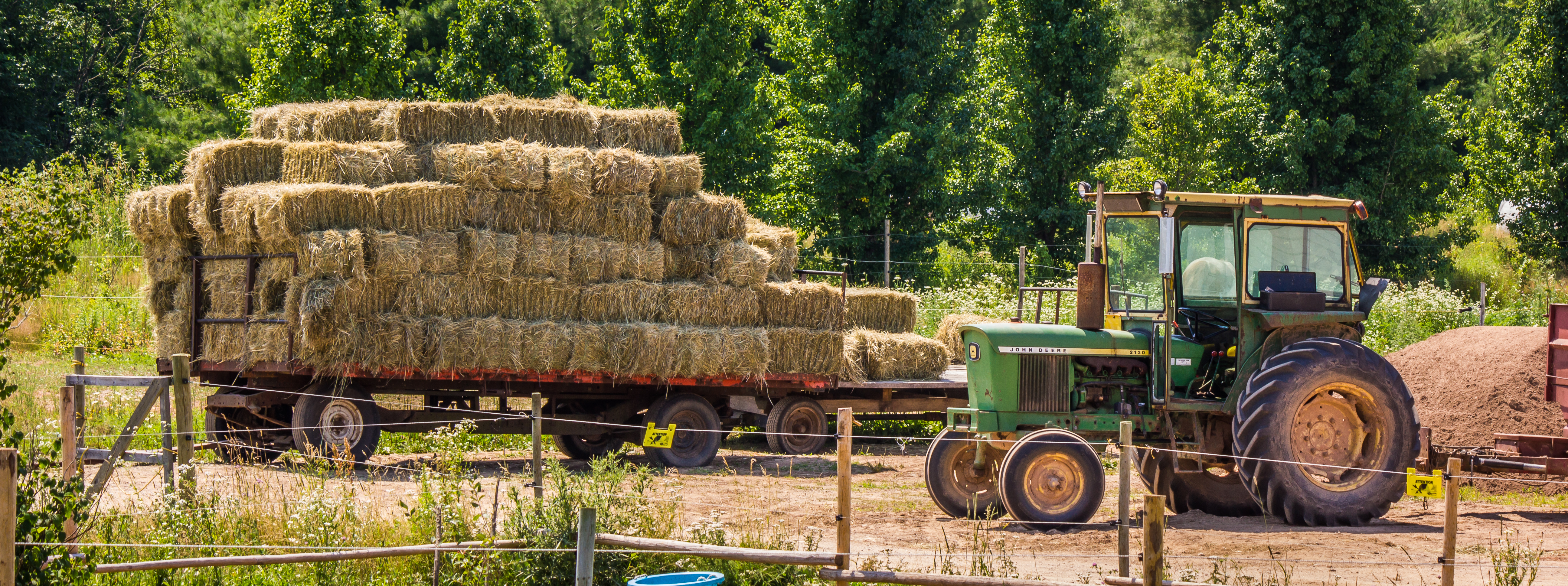
A Hard Day's Work
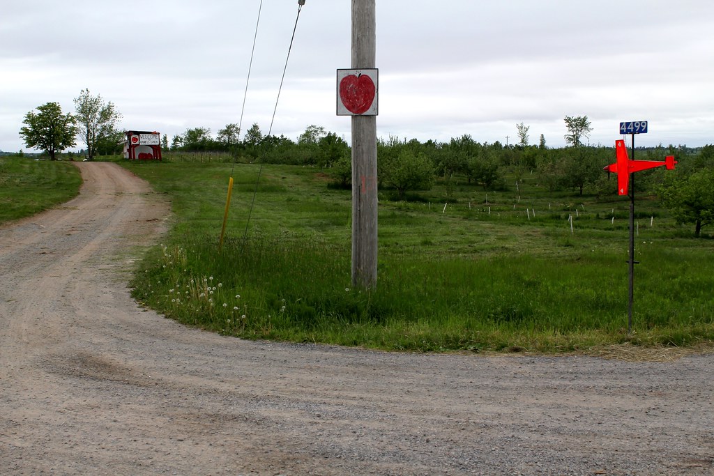
Windsor, NS
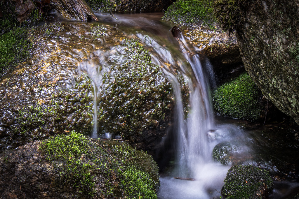
mossy brook
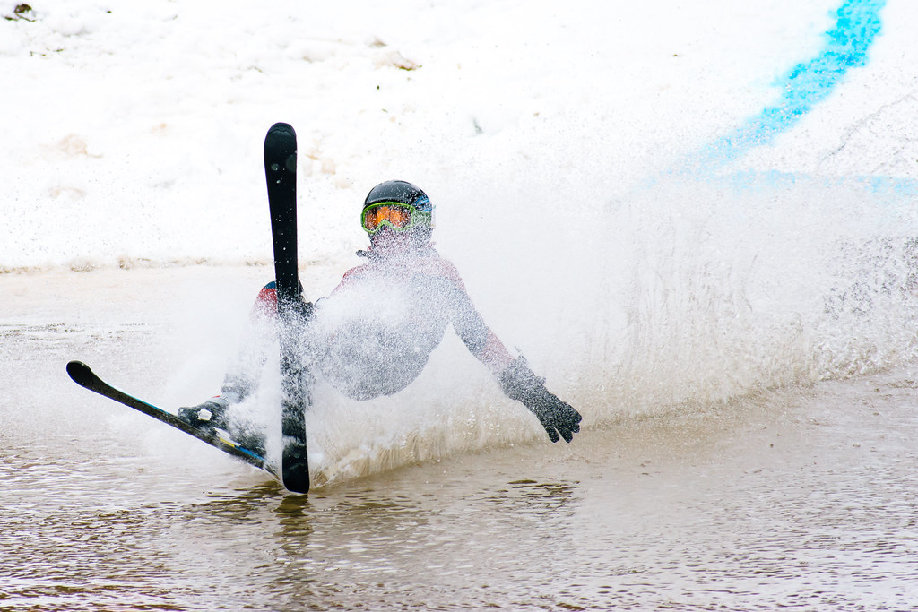
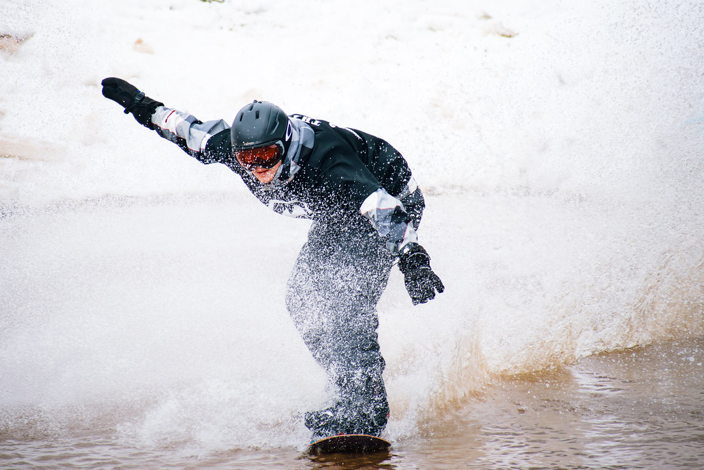
Slush Cup 2018
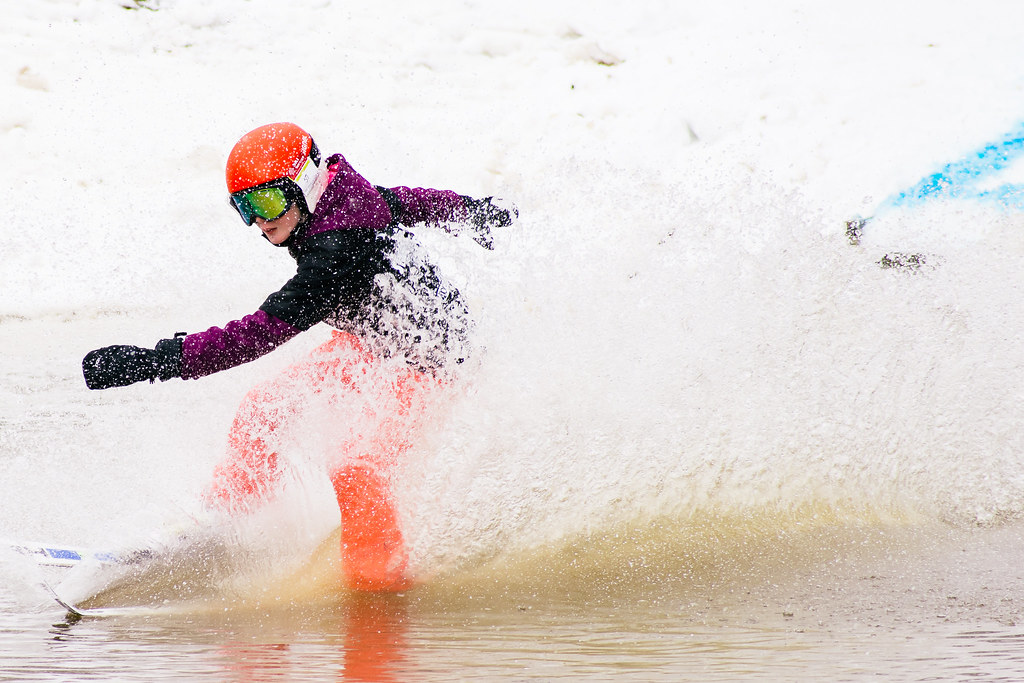
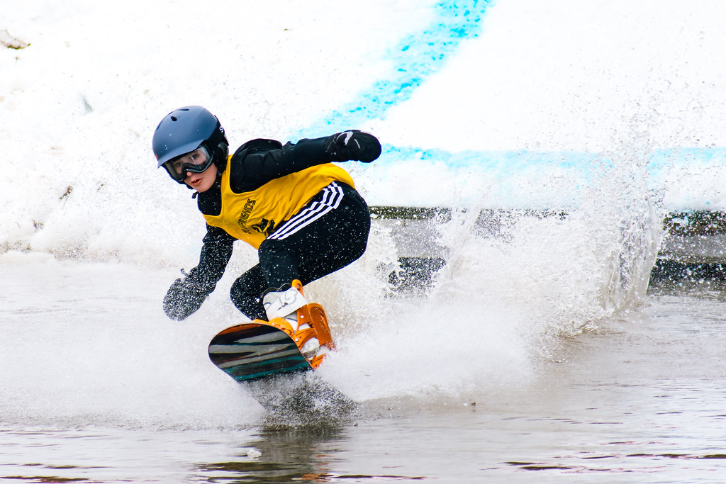
Slush Cup 2018
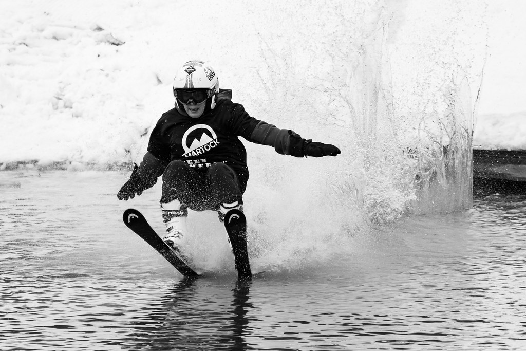
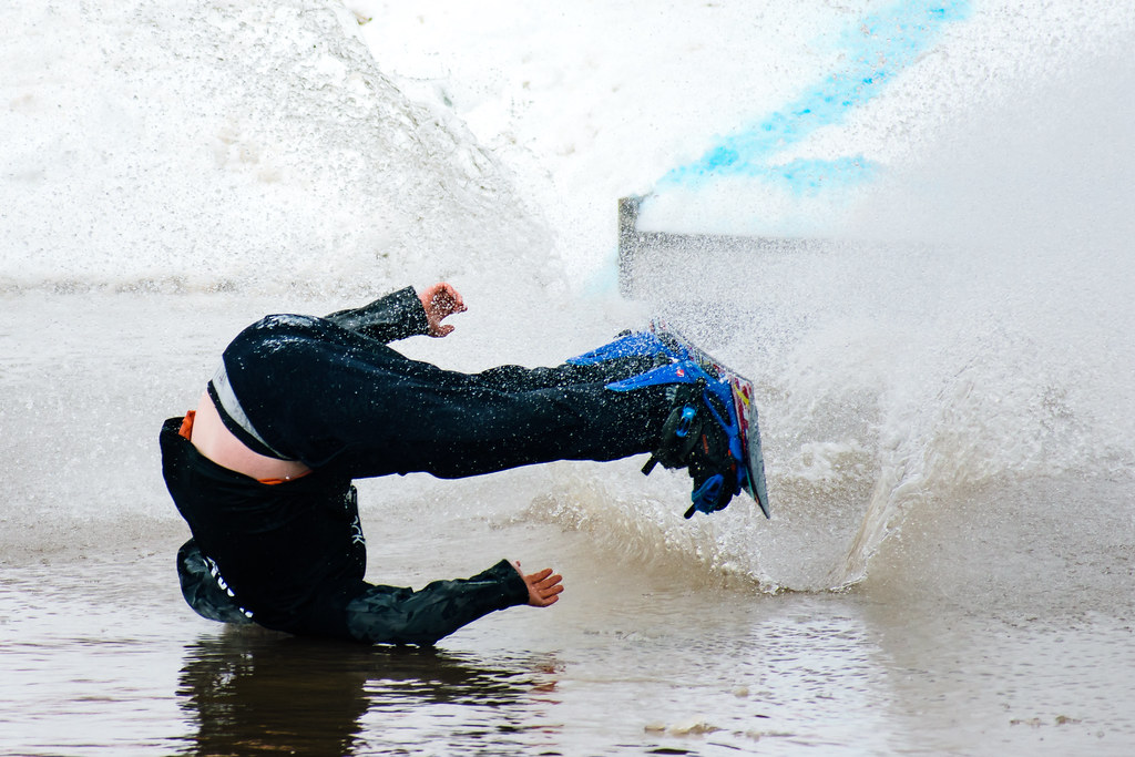
Slush Cup 2018

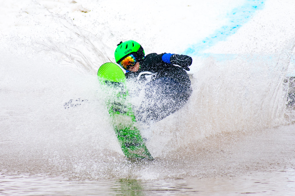
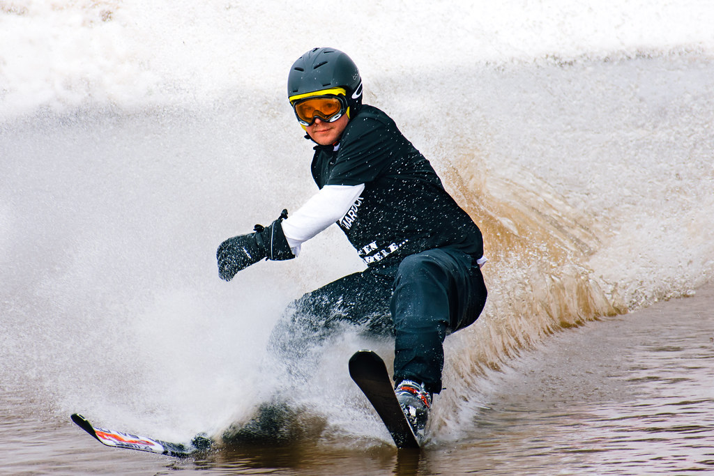
Slush Cup 2018
Slush Cup 2018
Slush Cup 2018
Slush Cup 2018
Slush Cup 2018
Slush Cup 2018
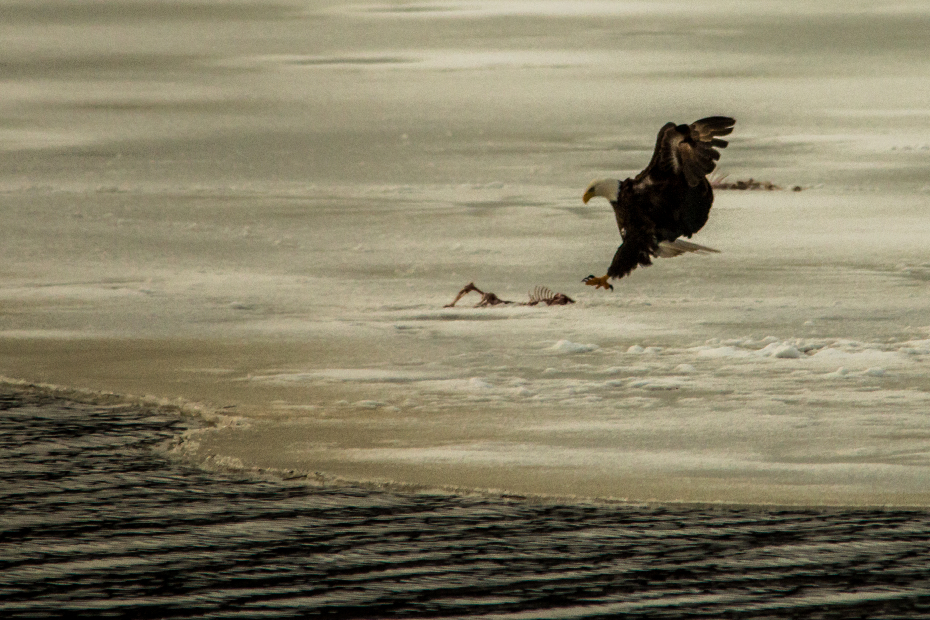
Landing gear
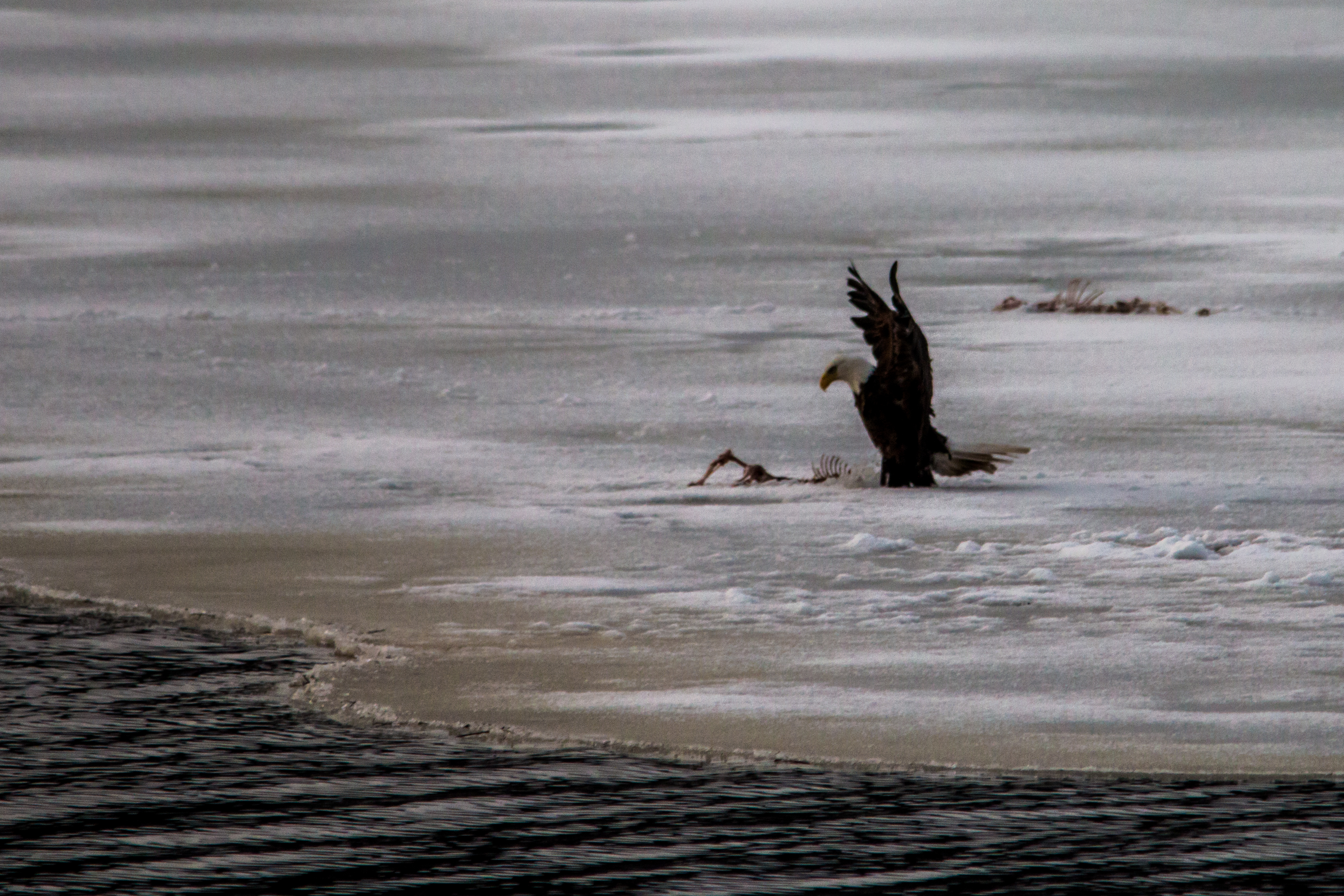
Claiming a meal
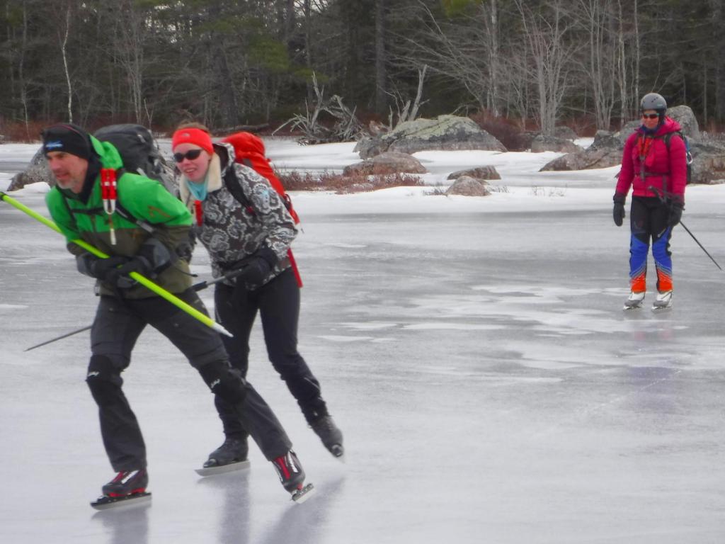
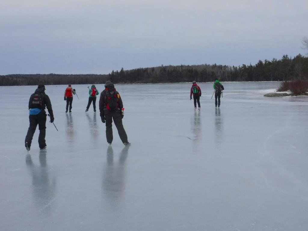
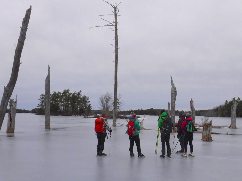
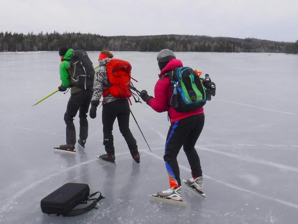
Black River Lake
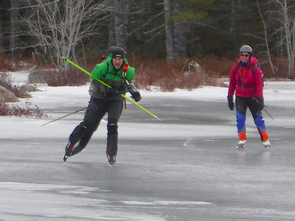
Black River Lake
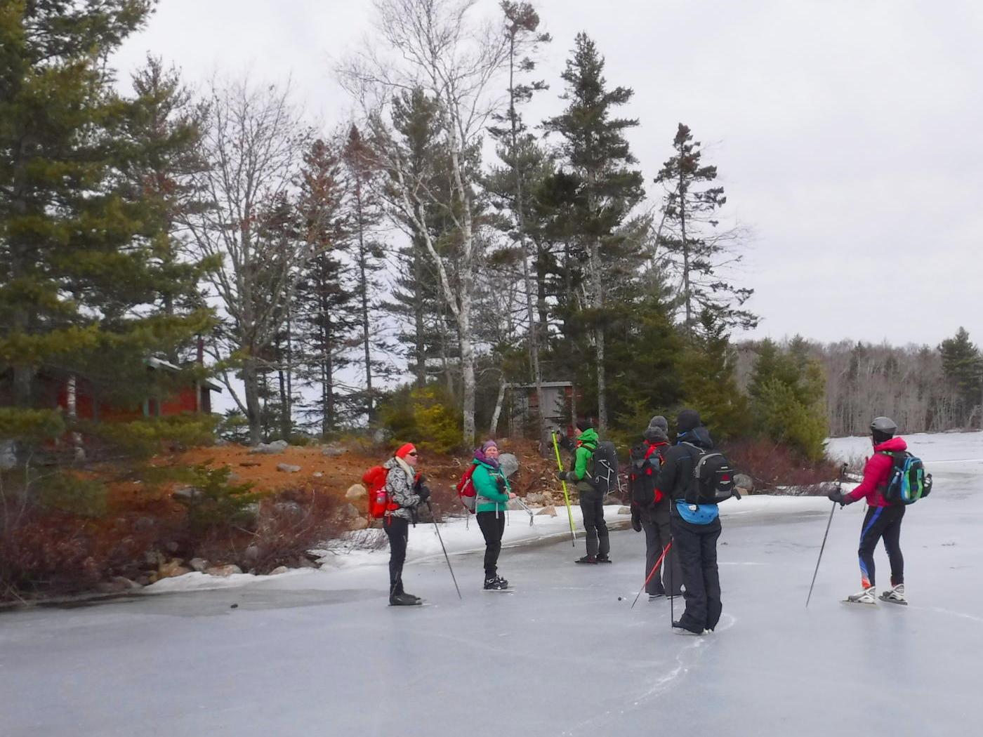
Black River Lake
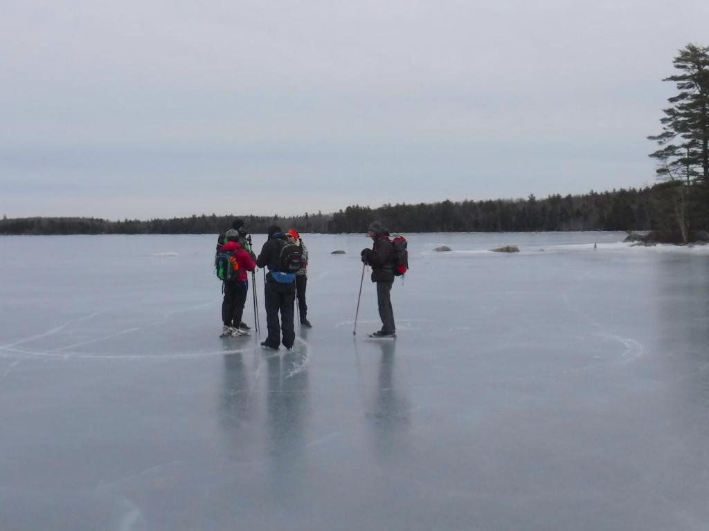
Black River Lake
Black River Lake
Black River Lake
Black River Lake
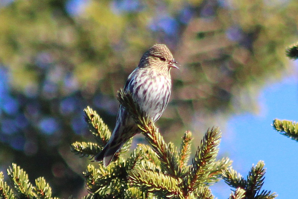
Pine Siskin
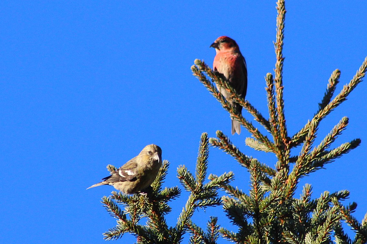
White-winged Crossbill
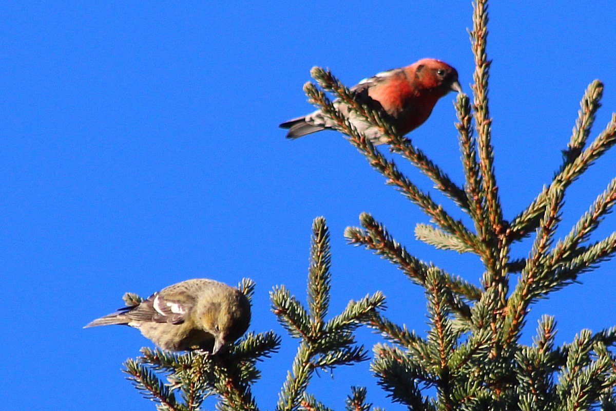
White-winged Crossbill
Topographic Map of Lower Vaughan, NS B0N 2T0, Canada
Find elevation by address:

Places near Lower Vaughan, NS B0N 2T0, Canada:
660 Pioneer Dr
232 Summit Ridge Rd
NS-14, Windsor, NS B0N 2T0, Canada
20 Crowe Crescent, Windsor, NS B0N 2T0, Canada
Windsor Forks
Martock
Ski Martock
11 Dudley Park Ln
59 Windsor Back Rd, Windsor, NS B0N 2T0, Canada
446 Gabriel Rd
14 Chelsea Ct
34 Valley View Dr
52 Shetland Rd
77 Falmouth Dyke Rd
54 Gabriel Rd, Falmouth, NS B0P 1L0, Canada
30 Gabriel Rd
26 Gabriel Rd
18 Gabriel Rd
10 Gabriel Rd
8 Gabriel Rd
Recent Searches:
- Elevation of Corso Fratelli Cairoli, 35, Macerata MC, Italy
- Elevation of Tallevast Rd, Sarasota, FL, USA
- Elevation of 4th St E, Sonoma, CA, USA
- Elevation of Black Hollow Rd, Pennsdale, PA, USA
- Elevation of Oakland Ave, Williamsport, PA, USA
- Elevation of Pedrógão Grande, Portugal
- Elevation of Klee Dr, Martinsburg, WV, USA
- Elevation of Via Roma, Pieranica CR, Italy
- Elevation of Tavkvetili Mountain, Georgia
- Elevation of Hartfords Bluff Cir, Mt Pleasant, SC, USA