Elevation of Lower Dir, Pakistan
Location: Pakistan > Khyber Pakhtunkhwa >
Longitude: 71.9045649
Latitude: 34.8453312
Elevation: 1112m / 3648feet
Barometric Pressure: 89KPa
Elevation Map:
Satellite Map:
Related Photos:
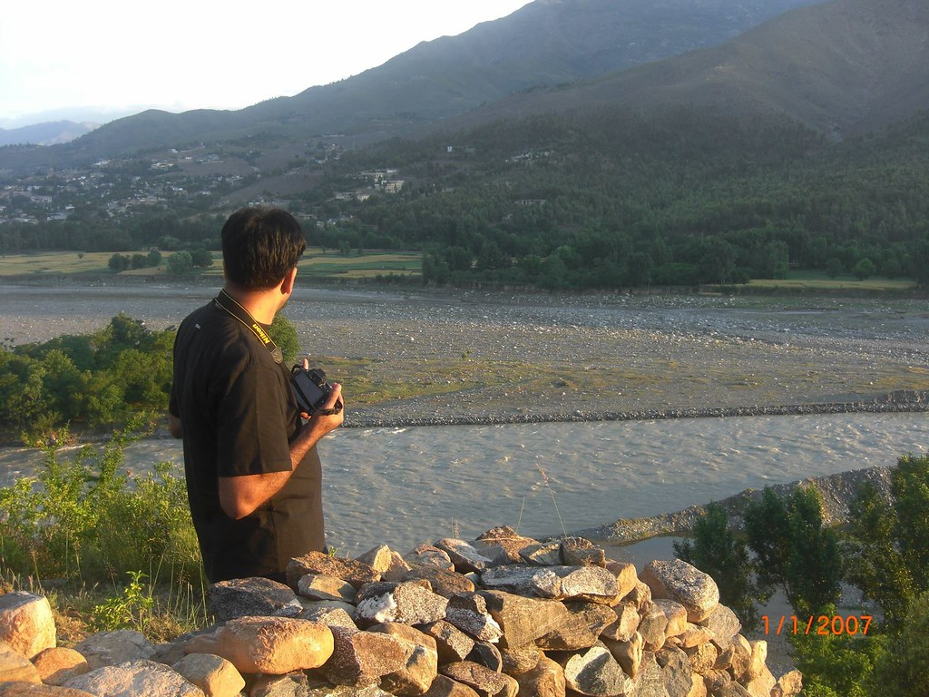
IMG_1371
Topographic Map of Lower Dir, Pakistan
Find elevation by address:

Places in Lower Dir, Pakistan:
Places near Lower Dir, Pakistan:
Timergara
Bypass Road
Timergara
Dir Lower
Toormang
Maidan
Lalqila Maidan
Osakai
Wari
Kakad
Chakdara
Batkhela
River Swat View Point
Chakdara Fort
University Of Malakand
Asbanr
Darora
Barawal Bandi
Bibyawar
Swat Ranizai
Recent Searches:
- Elevation of Corso Fratelli Cairoli, 35, Macerata MC, Italy
- Elevation of Tallevast Rd, Sarasota, FL, USA
- Elevation of 4th St E, Sonoma, CA, USA
- Elevation of Black Hollow Rd, Pennsdale, PA, USA
- Elevation of Oakland Ave, Williamsport, PA, USA
- Elevation of Pedrógão Grande, Portugal
- Elevation of Klee Dr, Martinsburg, WV, USA
- Elevation of Via Roma, Pieranica CR, Italy
- Elevation of Tavkvetili Mountain, Georgia
- Elevation of Hartfords Bluff Cir, Mt Pleasant, SC, USA