Elevation map of Louisiana 16, LA-16, Louisiana, USA
Location: United States > Louisiana > Tangipahoa Parish > > Amite City >
Longitude: -90.470718
Latitude: 30.7295686
Elevation: 40m / 131feet
Barometric Pressure: 101KPa
Elevation Map:
Satellite Map:
Related Photos:

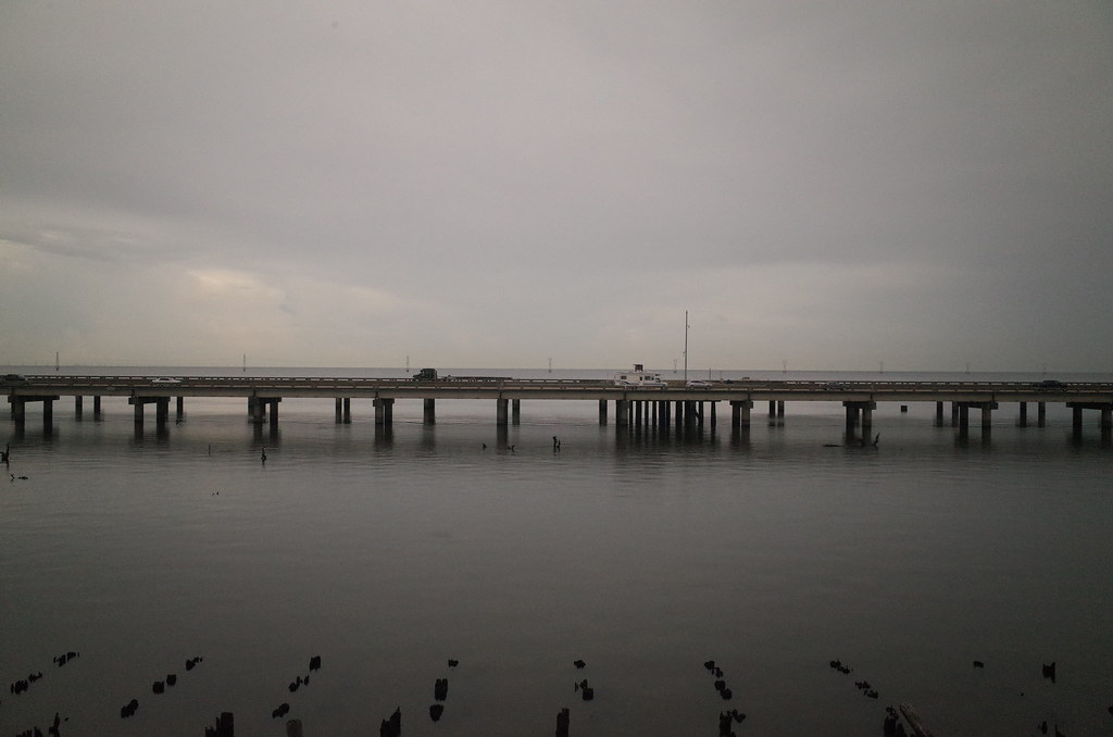
So Close, Yet So Far
RI038547.JPG
RI038543.JPG
RI038556.JPG
RI038557.JPG
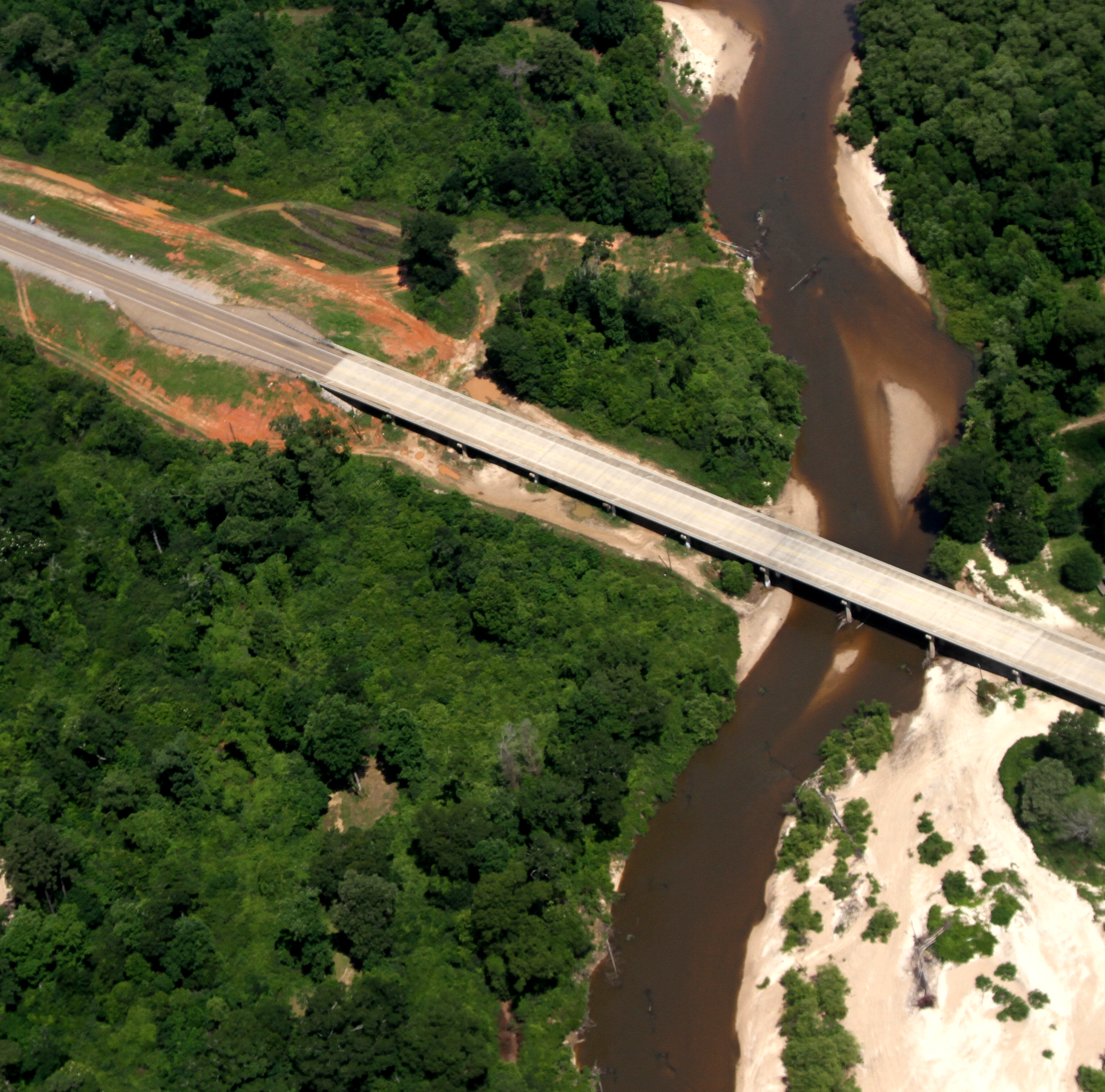
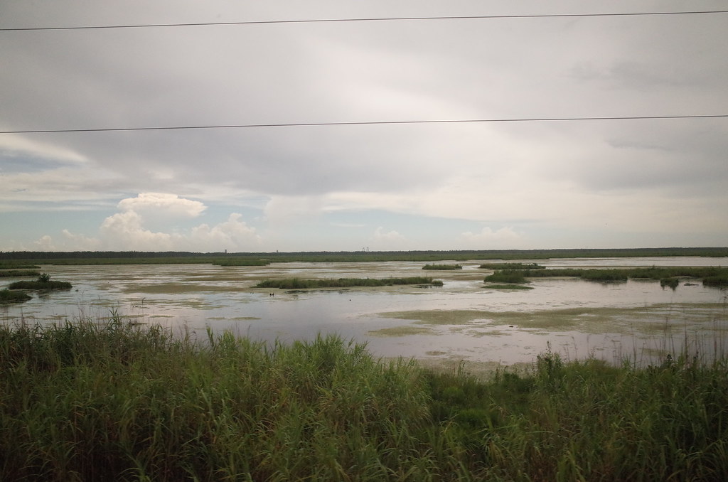
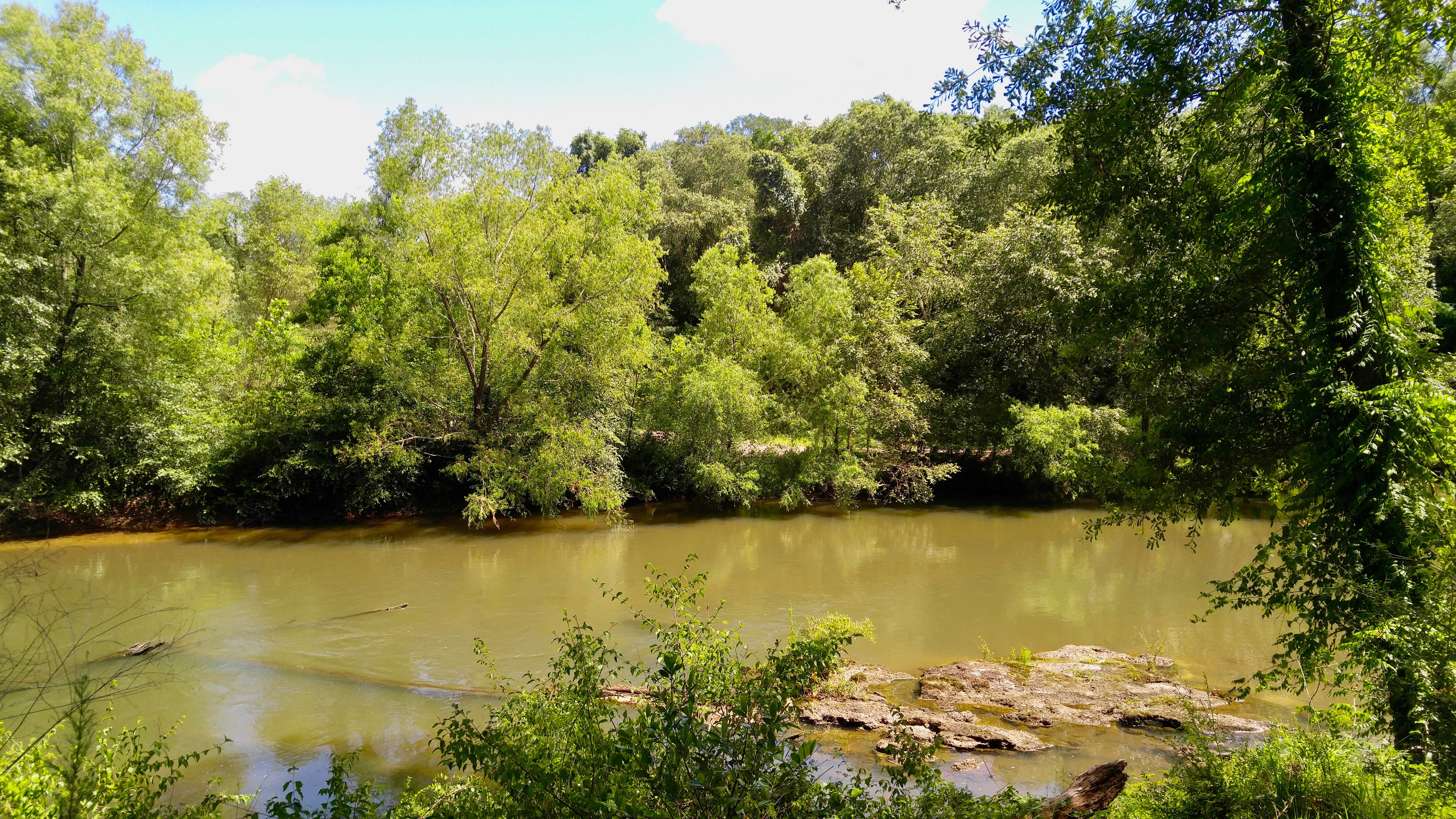
Scenic Tangipahoa River
RI038560.JPG
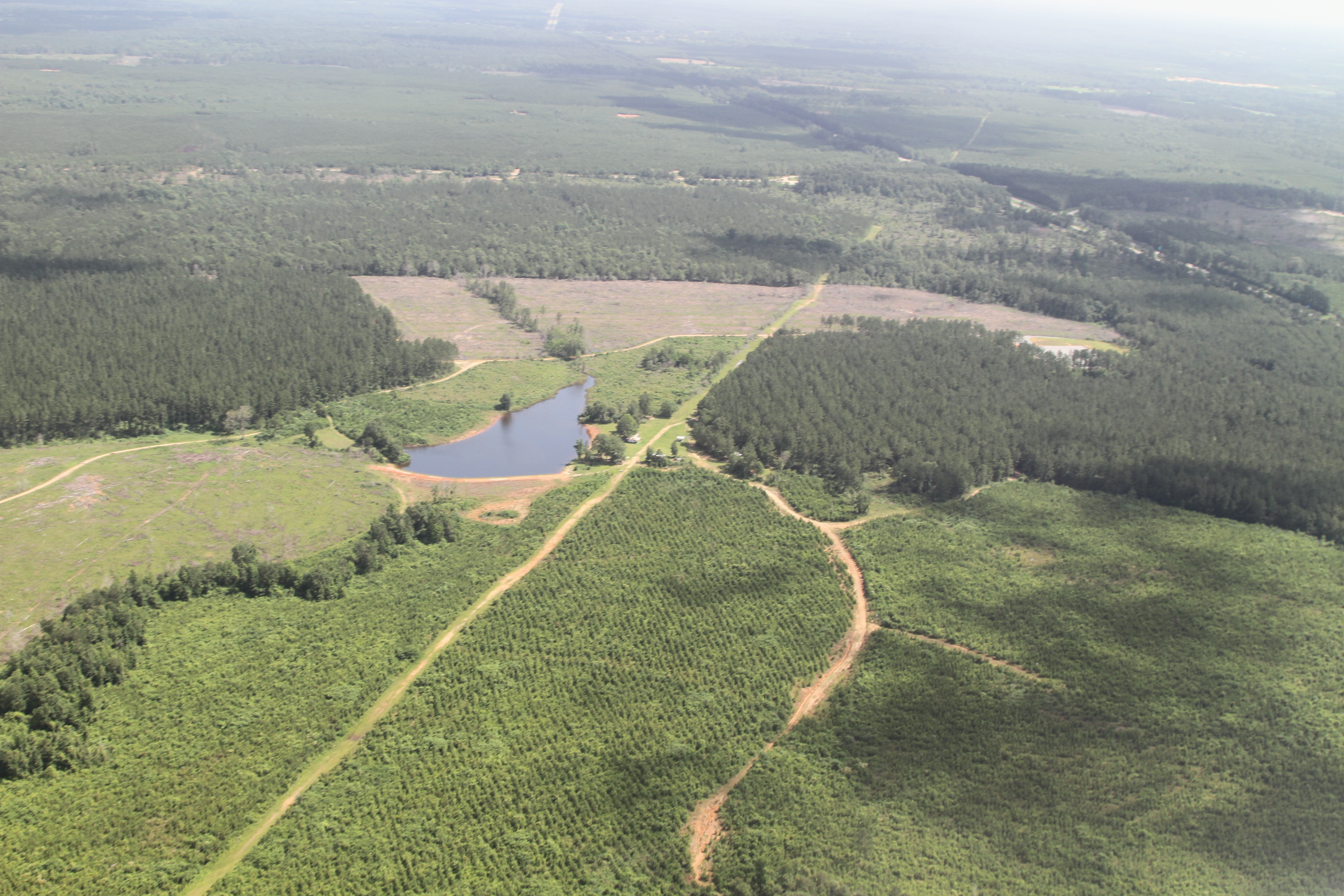
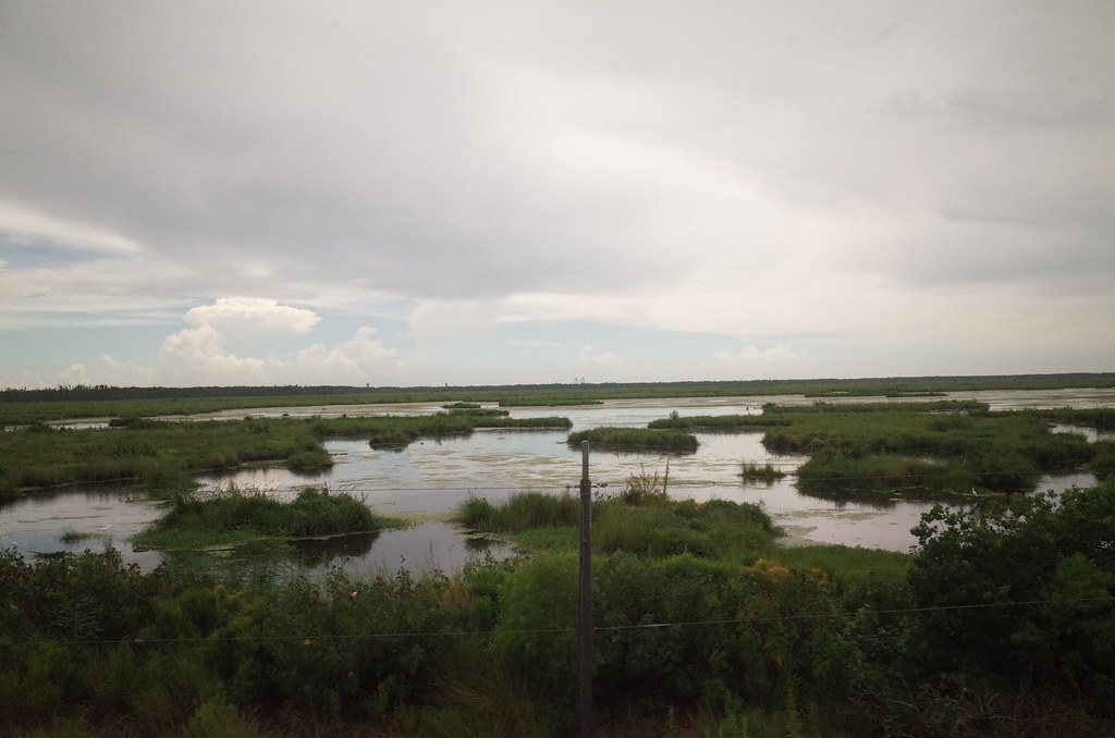
a farmer's pond turned to fracking

IMG_3078 tangipahoa
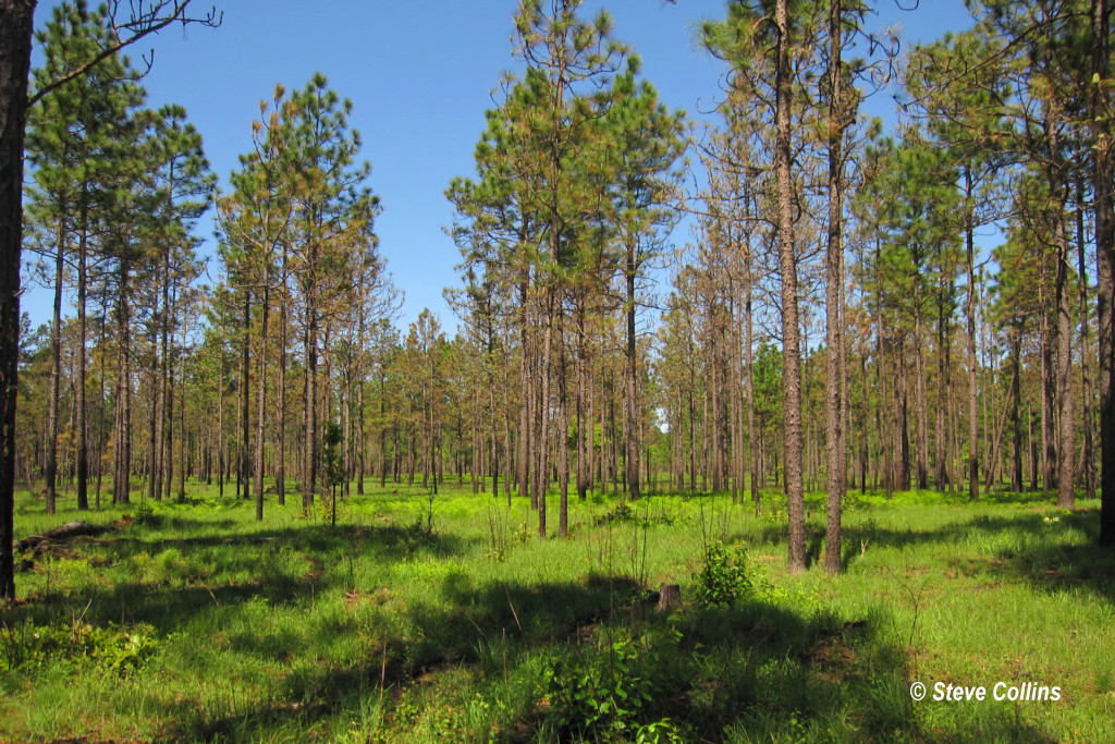
I ♥ Longleaf Flatwoods

RI038563.JPG

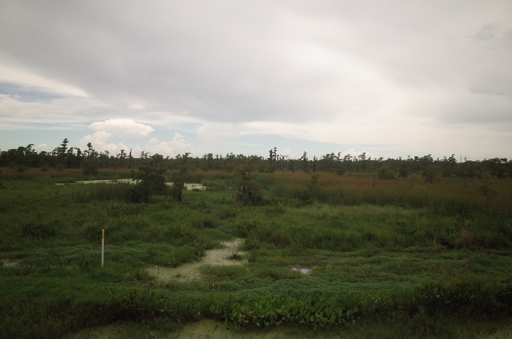
Sandy Hollow WMA
Tickfaw River

Louisiana morning
Topographic Map of Louisiana 16, LA-16, Louisiana, USA
Find elevation by address:

Places near Louisiana 16, LA-16, Louisiana, USA:
Louisiana 16
Amite High School
Amite City
809 Ash St
Chappapeela Baptist Church
60154 Bennett Rd
60154 Bennett Rd
60154 Bennett Rd
60154 Bennett Rd
60154 Bennett Rd
61296 Bennett Rd
55386 Mandella Rd
19075 Cory Rd
19119 Cory Rd
3, LA, USA
10041 La-1045
4, LA, USA
211 Calhoun St
Independence
LA-16, Amite City, LA, USA
Recent Searches:
- Elevation of Corso Fratelli Cairoli, 35, Macerata MC, Italy
- Elevation of Tallevast Rd, Sarasota, FL, USA
- Elevation of 4th St E, Sonoma, CA, USA
- Elevation of Black Hollow Rd, Pennsdale, PA, USA
- Elevation of Oakland Ave, Williamsport, PA, USA
- Elevation of Pedrógão Grande, Portugal
- Elevation of Klee Dr, Martinsburg, WV, USA
- Elevation of Via Roma, Pieranica CR, Italy
- Elevation of Tavkvetili Mountain, Georgia
- Elevation of Hartfords Bluff Cir, Mt Pleasant, SC, USA