Elevation of Lot 11, PE, Canada
Location: Canada > Prince Edward Island > Prince County >
Longitude: -63.902815
Latitude: 46.7549825
Elevation: -20m / -66feet
Barometric Pressure: 102KPa
Elevation Map:
Satellite Map:
Related Photos:
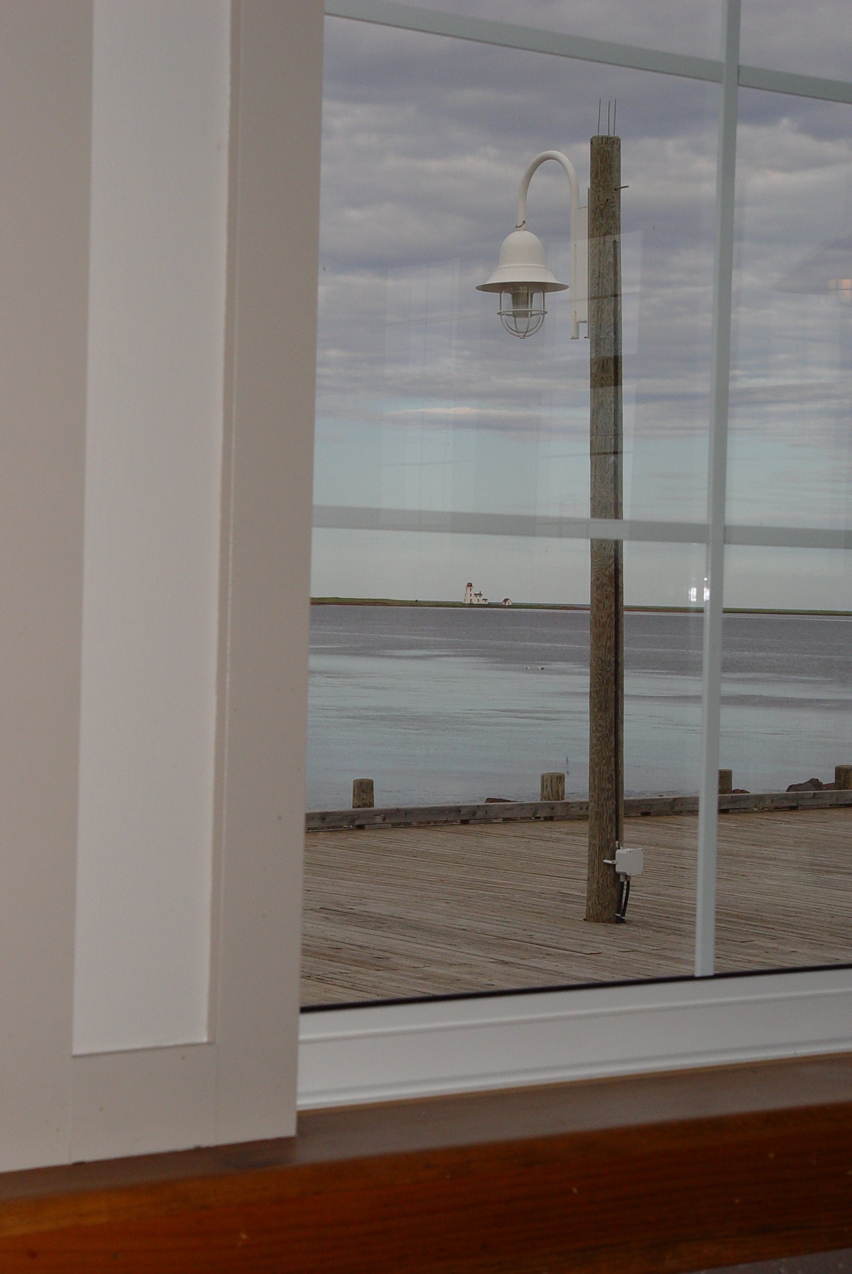
48 Restaurant View
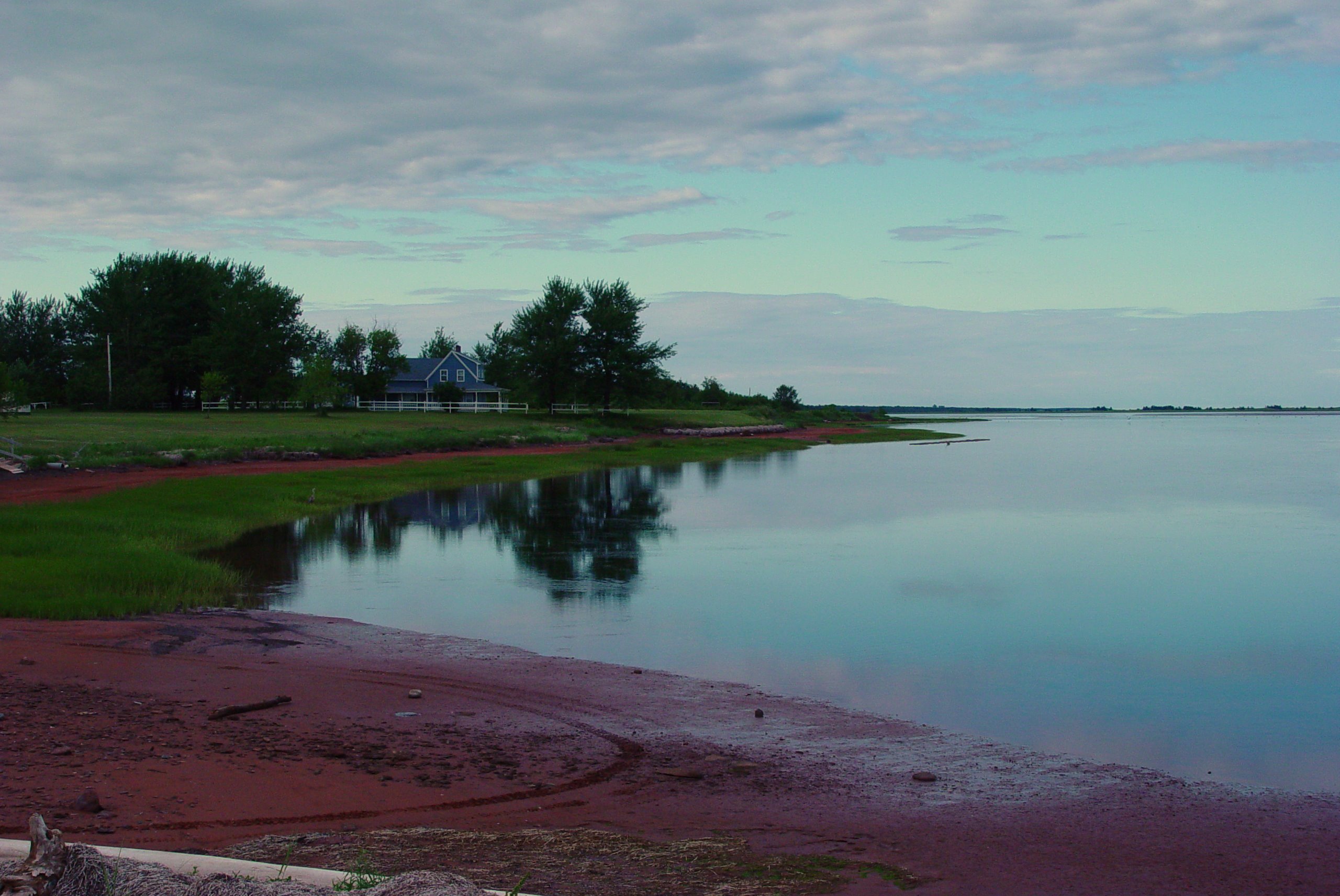
51 Northport View
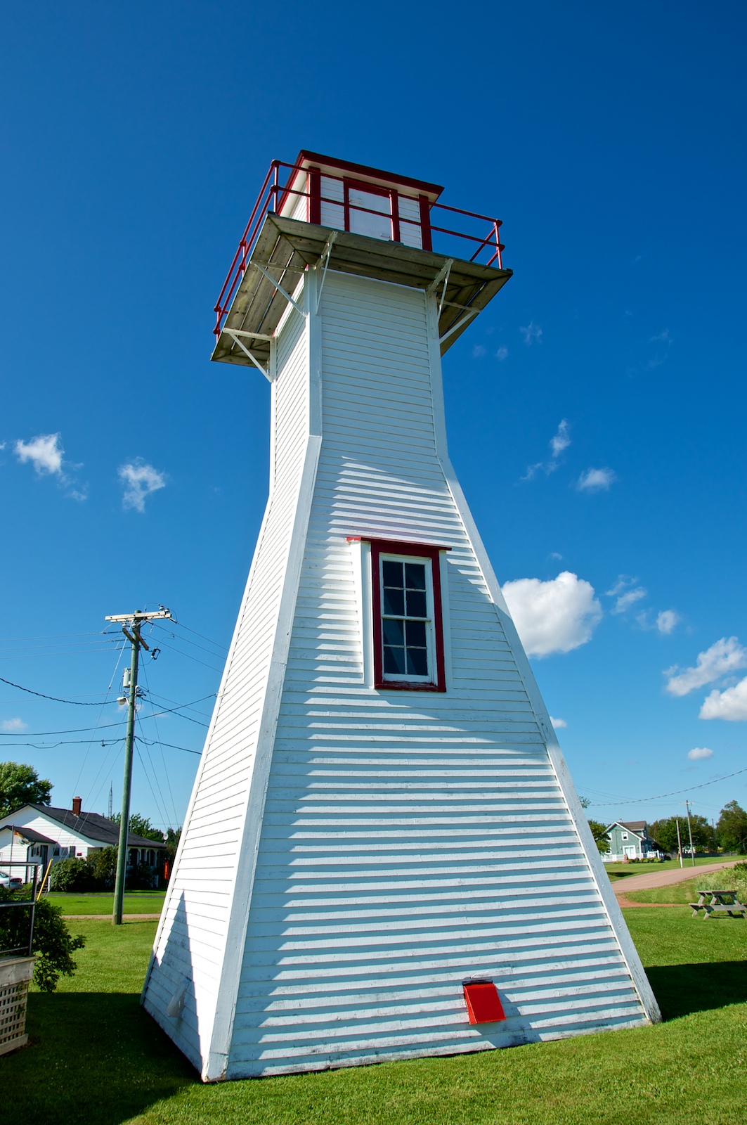
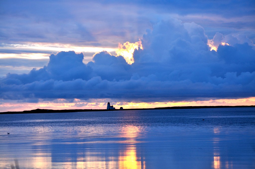
Northport Range Light, PEI (front view)

Northport Range Light, PEI (harbour view)
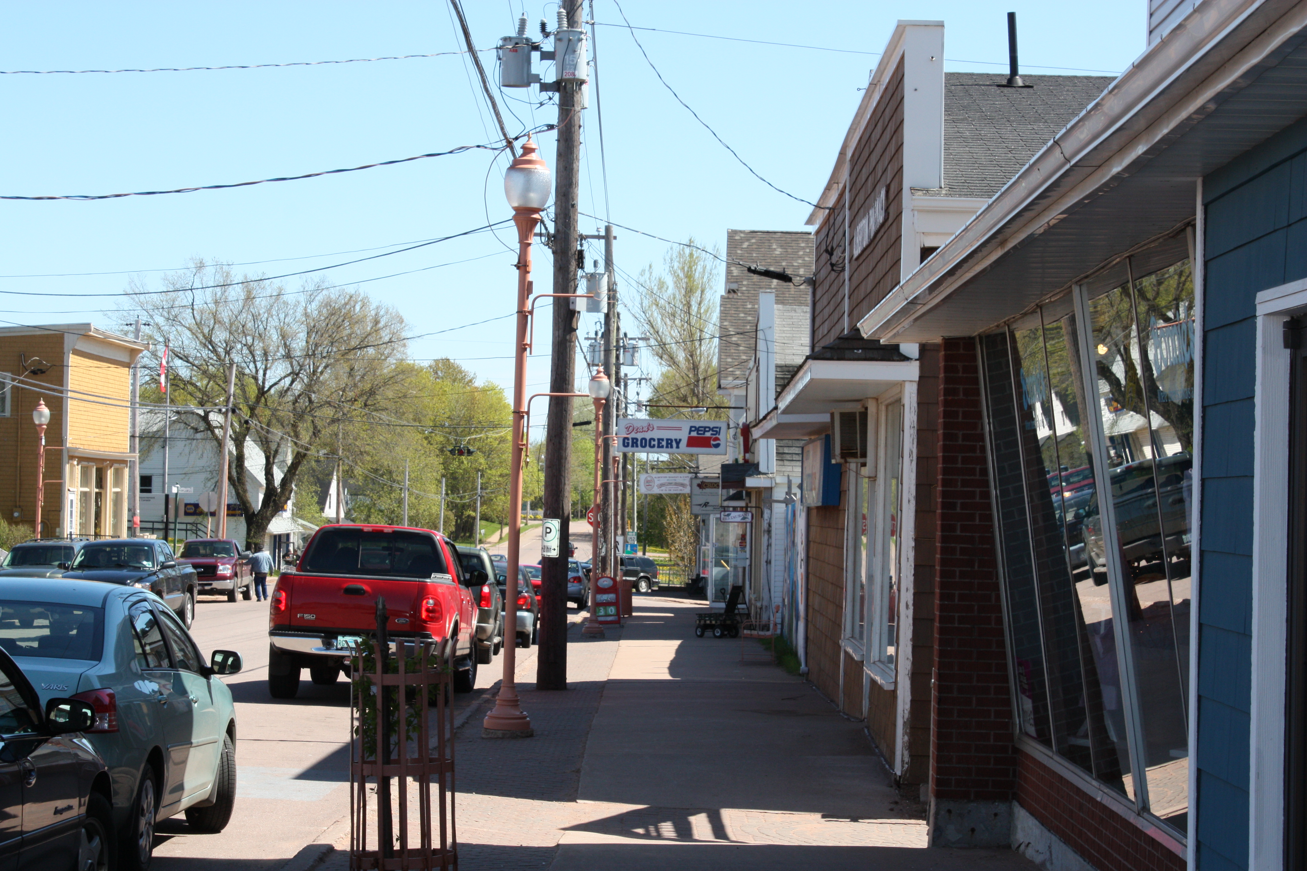
Alberton, PEI
Northport PEI - 33
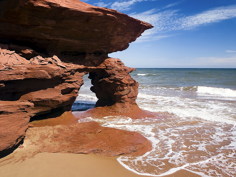
Sea Arch, Prince Edward Island, Canada

More Shellfish growing (2012)
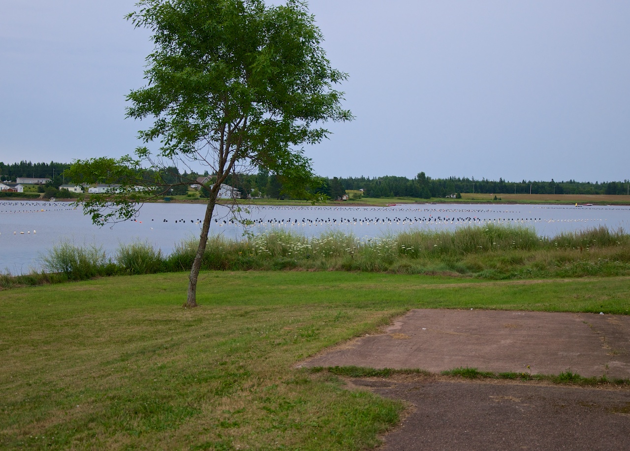
Shellfish growing (2012)
Topographic Map of Lot 11, PE, Canada
Find elevation by address:

Places in Lot 11, PE, Canada:
Places near Lot 11, PE, Canada:
Prince County
Luke Rd, Ellerslie, PE C0B 1J0, Canada
474 Oatway Rd
Oatway Rd, Ellerslie, PE C0B 1J0, Canada
Mcneills Mills Rd, Ellerslie, PE C0B 1J0, Canada
Lot 12
Bideford Rd, Tyne Valley, PE C0B 2C0, Canada
Lennox Island Indian Reserve No. 1
PE-12, Tignish, PE C0B 2B0, Canada
64 Carol St, Alberton, PE C0B 1B0, Canada
Ellerslie
Kildare Capes
Inverness
Alberton
Pridham Rd, Alberton, PE C0B 1B0, Canada
Tyne Valley
Portage
Cascumpec Rd, O'Leary, PE C0B 1V0, Canada
Lot 2
Greenmount Rd, Tignish, PE C0B 2B0, Canada
Recent Searches:
- Elevation of Corso Fratelli Cairoli, 35, Macerata MC, Italy
- Elevation of Tallevast Rd, Sarasota, FL, USA
- Elevation of 4th St E, Sonoma, CA, USA
- Elevation of Black Hollow Rd, Pennsdale, PA, USA
- Elevation of Oakland Ave, Williamsport, PA, USA
- Elevation of Pedrógão Grande, Portugal
- Elevation of Klee Dr, Martinsburg, WV, USA
- Elevation of Via Roma, Pieranica CR, Italy
- Elevation of Tavkvetili Mountain, Georgia
- Elevation of Hartfords Bluff Cir, Mt Pleasant, SC, USA