Elevation of Losantville, IN, USA
Location: United States > Indiana > Randolph County > Union Township >
Longitude: -85.182743
Latitude: 40.024213
Elevation: 345m / 1132feet
Barometric Pressure: 97KPa
Elevation Map:
Satellite Map:
Related Photos:

View from Indiana Trail Road
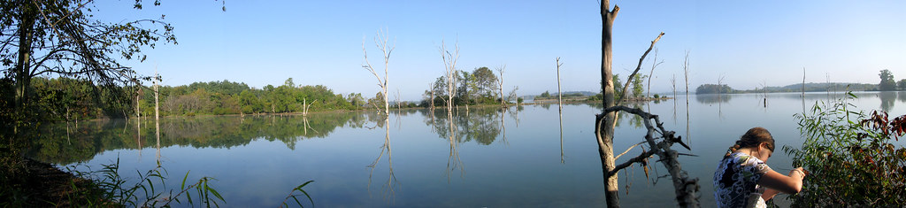
taking pictures of the lake with annie.

september morning at the lake.

freedom doesn't really mean free.

helloooooo.....

view from uphouse

View from cabin's front porch

view from uphouse

View from cabin's front porch

It's A Big World Out There

Yellow Warbler

Hagerstown Flying Circus 2016

Ice on Nettle Creek

Cardinal Greenway along U.S. 35

Prelude to Oz

Hagerstown Airport Runway

Summit Lake State Park

Spring Planting Time

Green Heron
like a drifter i was born to walk alone.

Waiting for Spring Planting

Wide Angle B/W in my back yard

Green Heron

2014 Hagerstown Flying Circus

some more sunset.
Gentle Curve along the Cardinal Greenway

Wild Flowers

Hagerstown Flying Circus 2015
Topographic Map of Losantville, IN, USA
Find elevation by address:

Places near Losantville, IN, USA:
Dalton Rd, Hagerstown, IN, USA
Dalton Township
N Main St, Modoc, IN, USA
Modoc
Blountsville
E County Rd N, Losantville, IN, USA
Union Township
S Broad St, Mooreland, IN, USA
Mooreland
Blue River Township
Stoney Creek Township
Hagerstown
52 W Main St, Hagerstown, IN, USA
5993 N Messick Rd
S Wilbur Wright Rd, New Castle, IN, USA
N Messick Rd, New Castle, IN, USA
Liberty Township
Prairie Township
S Messick Rd, New Castle, IN, USA
Henry County
Recent Searches:
- Elevation of Corso Fratelli Cairoli, 35, Macerata MC, Italy
- Elevation of Tallevast Rd, Sarasota, FL, USA
- Elevation of 4th St E, Sonoma, CA, USA
- Elevation of Black Hollow Rd, Pennsdale, PA, USA
- Elevation of Oakland Ave, Williamsport, PA, USA
- Elevation of Pedrógão Grande, Portugal
- Elevation of Klee Dr, Martinsburg, WV, USA
- Elevation of Via Roma, Pieranica CR, Italy
- Elevation of Tavkvetili Mountain, Georgia
- Elevation of Hartfords Bluff Cir, Mt Pleasant, SC, USA