Elevation of Los Cerrillos, NM, USA

Location: United States > New Mexico > Santa Fe County >

Longitude: -106.12459

Latitude: 35.4375198

Elevation: 1734m / 5689feet

Barometric Pressure: 82KPa

Elevation Map:

elevation map of Los Cerrillos, NM, USA

Satellite Map:

Satellite map of Los Cerrillos, NM, USA

Related Photos:

sunset dog newmexico santafe clouds plateau canyon greatdane harlequin sandiamountains lacienega santaferiver deutschedogge labajada ortizmountains cajadelrio tetillapeak cloudsstormssunsetssunrises
Sunset Hike
sunset sky sun sunlight newmexico clouds landscape golden landscapes desert sunsets lensflare flare rays nm hdr highdynamicrange highway14 turquoisetrail hwy14 photomatix cabezonpeak
Turquoise Trail Sunset HDR
newmexico sepia antique transportation motorvehicles vintageautomobiles
Vintage automobile Side view
winter panorama snow newmexico santafe canyon mesa sandiamountains lacienega santaferiver labajada ortizmountains lacieneguilla tetillapeak cerroseguro
Winter Panorama
Santa Fe River Canyon Fire
sunset panorama newmexico santafe plateau hills mesa sandiamountains jemezmountains santaferiver labajada ortizmountains lacieneguilla cajadelrio cerroseguro lastetilla
The Other Side
Las Tetilla Panorama
d200 sandia hangglider asadelta sandiapick wanilton
Hang ten ....
sunset panorama newmexico santafe route66 plateau hills mesa sandiamountains sangredecristomountains jemezmountains santaferiver mounttaylor labajada ortizmountains lacieneguilla cajadelrio pre1932alignment lastetilla
Las Tetilla Sunset
usa newmexico geotagged mexico photography smithsonian photo santefe elcaminoreal photocontest peasant campesino paraje landofenchantment elranchodelasgolondrinas thelocals smithsonianchannel aerialamerica
17.07.2011 (198/365) Campesino
Desert Springtime
Morning view of Santa Fe
bars cell cellblock dcumminsusa dcummins newmexicostatepenitentiary 20090412canoneos20dimg0729hands
Hanging Out at the Bars
panorama newmexico santafe route66 plateau hills mesa santaferiver labajada lacieneguilla cajadelrio tetillapeak pre1932alignment cerroseguro
The Plateau
bw panorama newmexico santafe route66 cows plateau hills mesa santaferiver labajada lacieneguilla cajadelrio tetillapeak pre1932alignment
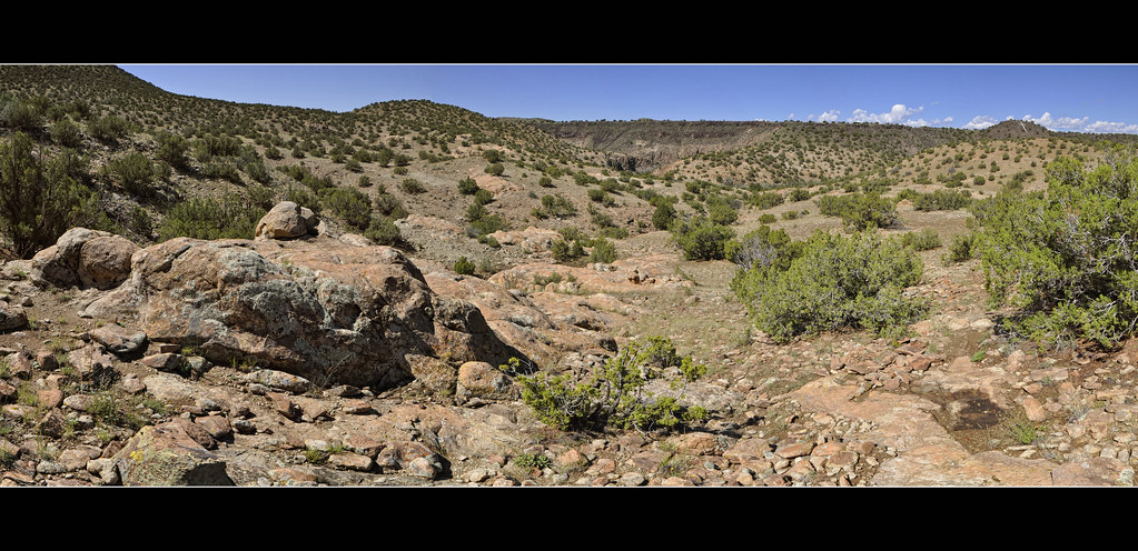
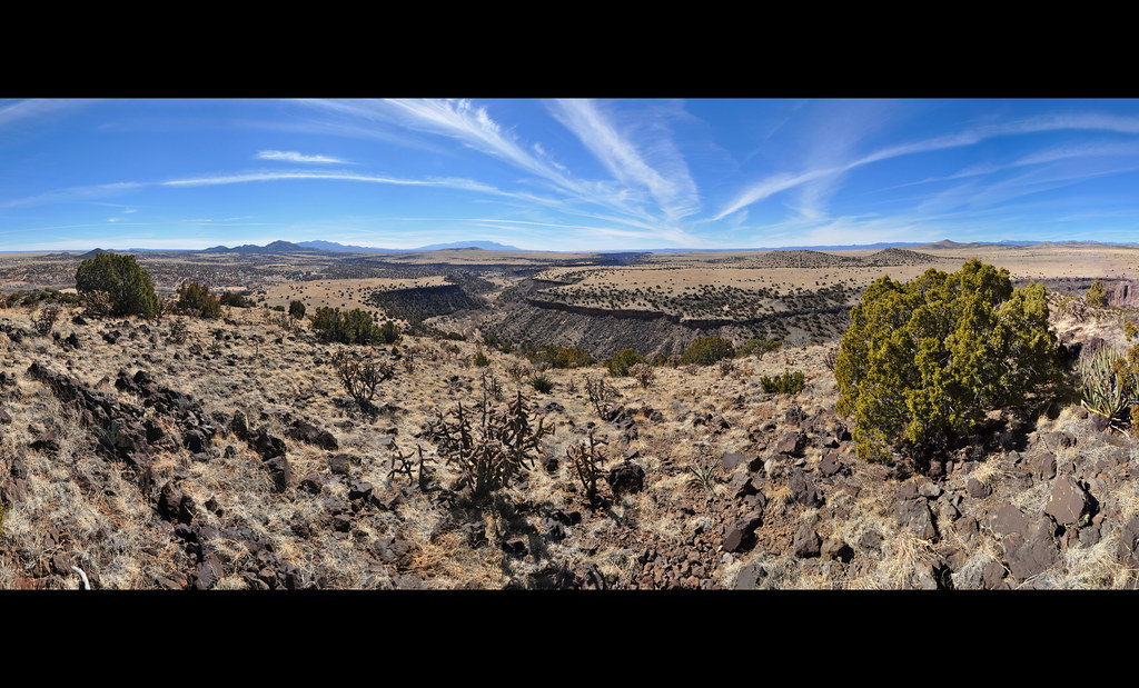
Canyon & Plateau Panorama
adobe americana bones burial cemetery clouds cloudysky daylight death desert desertmountains drama dramatic e30 funereal glixpix grave graves gravestones highdesert kdrenz kevindrenz kevinrenz landscapeportrait landscaping landscape life monument mountain mountains newmexico nm olympus olympuse30 peaceful santafe santafenm thunderclouds thunderheads thunderstorm topaz zuiko1260mmf28ed cerrillos cerrillosnm
Cerrillos Cemetery
model stalker hatchet strobist dcumminsusa dcummins newmexicostatepenitentiary
I Love You This Much
sunset sky sun sunlight newmexico clouds golden desert sunsets nm highway14 turquoisetrail hwy14
Turquoise Trail Sunset Sky
winter sunset panorama newmexico santafe lacieneguilla
Winter Sunset
panorama newmexico santafe route66 plateau hills mesa sangredecristomountains santaferiver labajada lacieneguilla cajadelrio pre1932alignment
Morning Canyon Panorama
abstract newmexico car gold rust junkyard cerrillos roedel
Rusted Gas Tank
sunset sky storm newmexico santafe rain clouds thunderstorm lightning pseudohdr impressedbeauty skyascanvas therebeastormabrewin cloudsstormssunsetssunrises
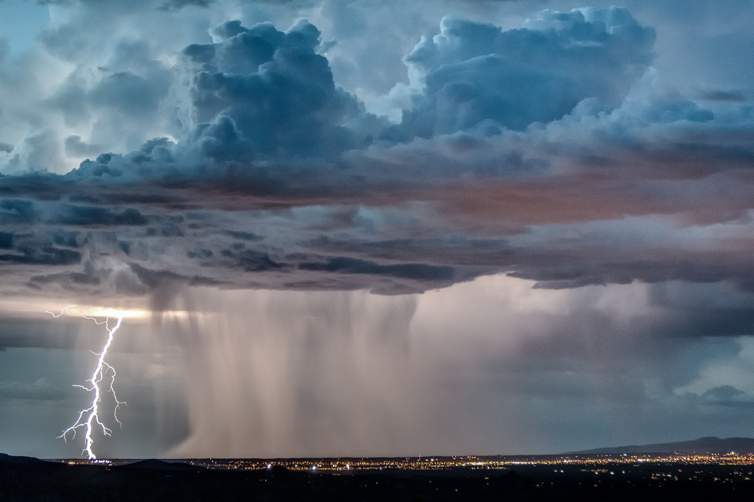
Santa Fe Thunderstorm - 2
sunset newmexico santafe clouds plateau canyon sandiamountains lacienega santaferiver labajada ortizmountains cajadelrio tetillapeak cloudsstormssunsetssunrises
Cerro Seguro Sunset Panorama
winter sunset panorama newmexico santafe lacieneguilla
Winter Sunset Panorama
urban snow newmexico santafe abandoned clouds riot decay sony cell overcast prison block nm alpha flickrmeet lotsofthem a700 coldasfuck tonemapped photomatrix 3exposures penitentuary eddyizm eduardocervantes eddyizmhdr
the yard
christmas newmexico santafe turquoise prison trail oldmain penitentiary tetillapeak
Christmas Along The Turquoise Trail
square squareformat hudson iphoneography instagramapp uploaded:by=instagram foursquare:venue=4d978f2aa2c65481d3a7dc53
This was the end of the road so I turned around and had to go back this way :)
newmexico weather yellow clouds unitedstates transport route couleur meteo loscerrillos yellow????
New Mexico-0074.jpg
panorama newmexico santafe plateau canyon hills mesa santaferiver labajada lacieneguilla cajadelrio
Into the River Canyon
road newmexico southwest nature landscape photography march highway desert pueblo perspective 100 cochiti distance nationalmonument 2012 f40 kashakatuwe tentrock 17mm cochitipueblo ef1740mmf4lusm pueblodecochiti ¹⁄₂₅₀₀sec albuquerquedistrict mabrycampbell march292012 whitecliffsmroad 201203296721
As the road opens up in front of my eyes
newmexico train landscape rosario uploaded:by=flickrmobile flickriosapp:filter=nofilter
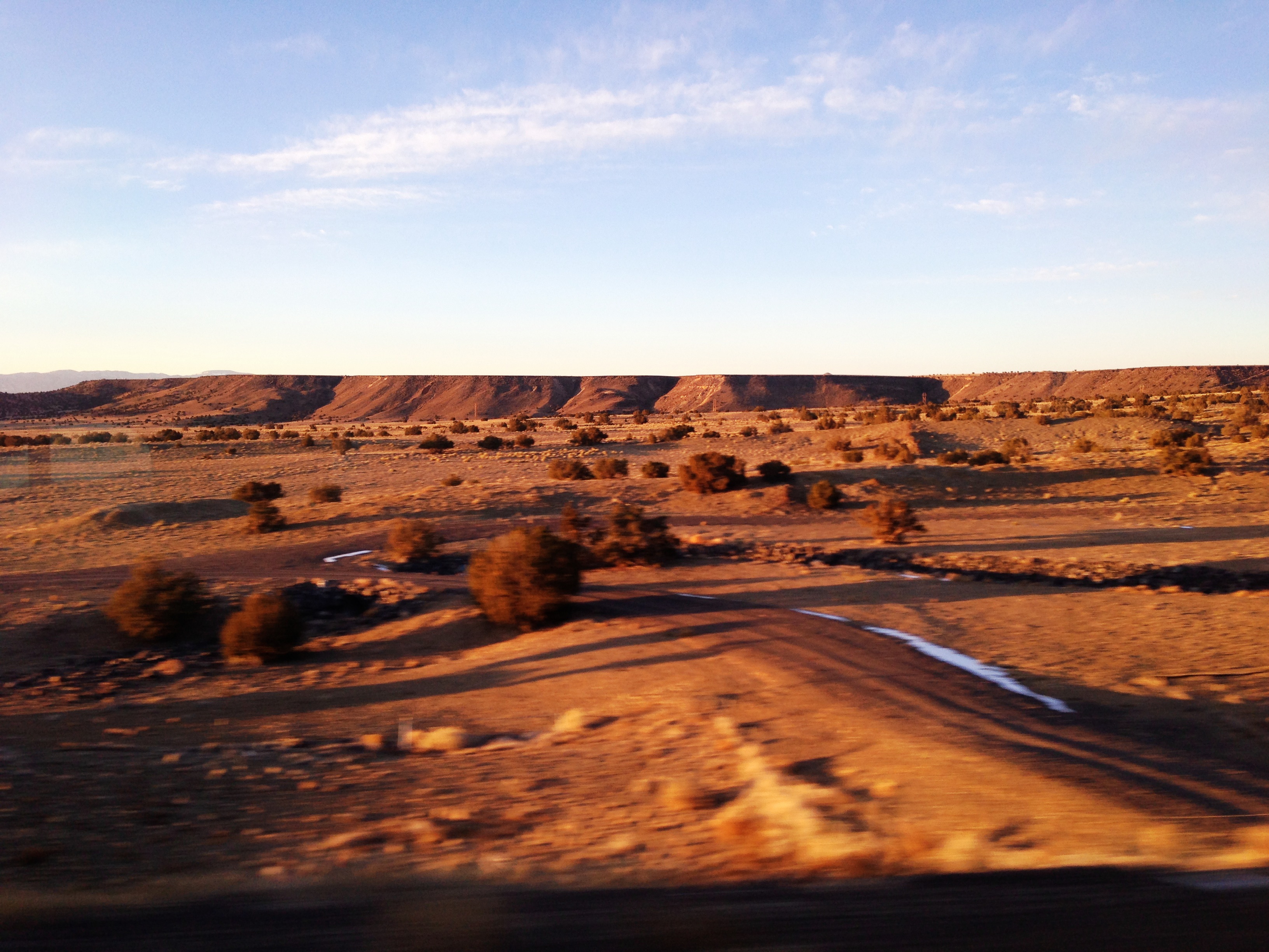
Santa Fe to Albuquerque (photo)
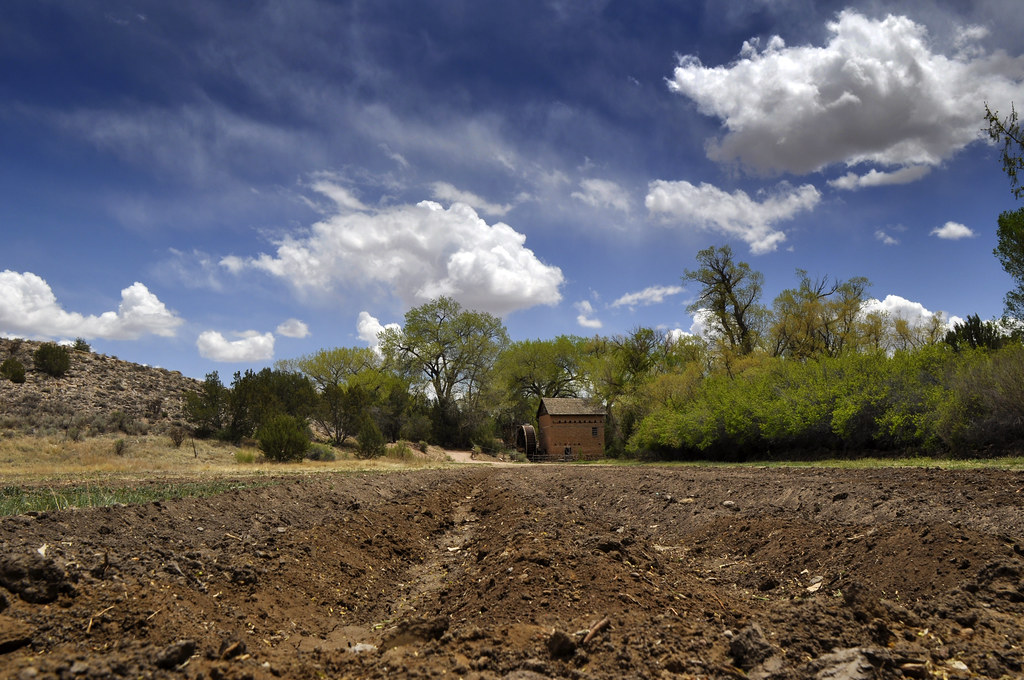
newmexico santafe mill gristmill lacienega elranchodelasgolondrinas
The Mill
panorama mountains santafe canyon mesa ortiz cerrillos jemez santaferiver labajada tetillapeak
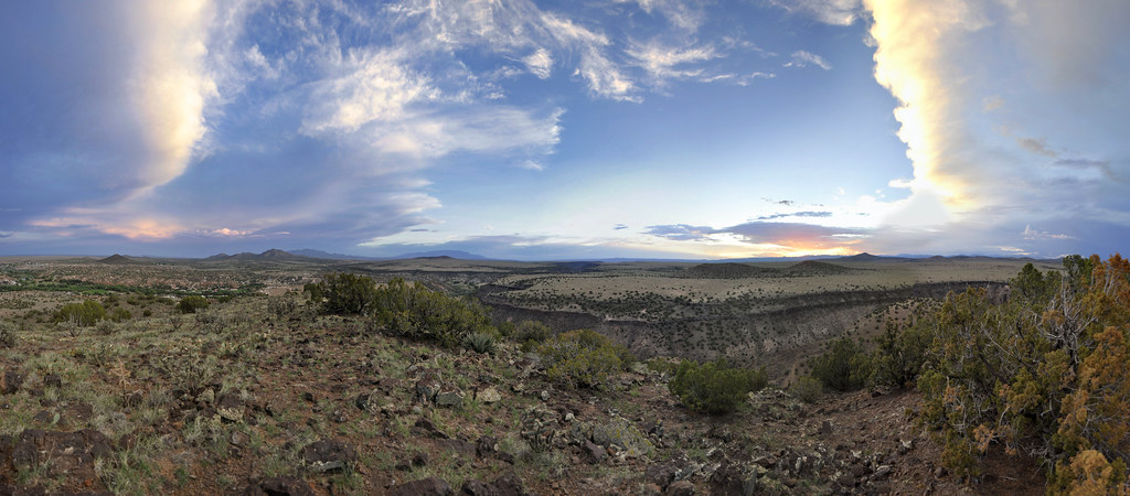
Santa Fe River Canyon Panorama