Elevation of Loop Lane, Loop Ln, North Carolina, USA
Location: United States > North Carolina > Cherokee County > Valleytown > Marble >
Longitude: -83.943606
Latitude: 35.1489052
Elevation: 599m / 1965feet
Barometric Pressure: 94KPa
Elevation Map:
Satellite Map:
Related Photos:

Morning view in Murphy, NC.

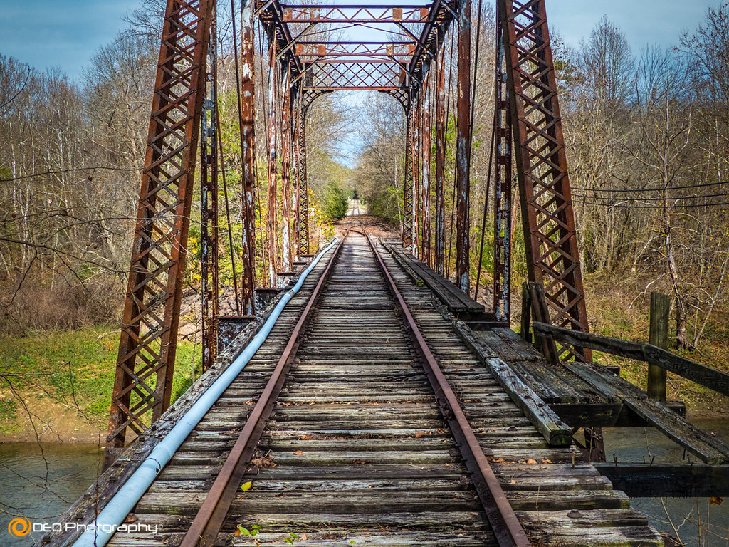
Another view of the last bridge

Fires Creek
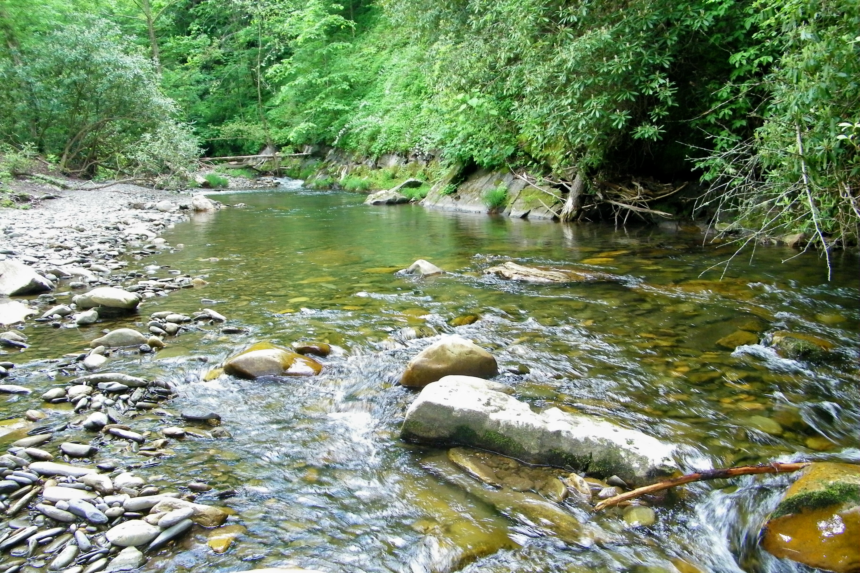
Fires Creek

John C. Campbell Folk School, Brasstown, NC
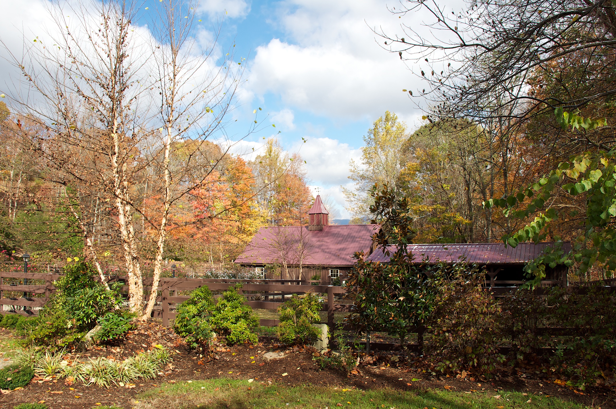
Hawkesdene House Barn Far View
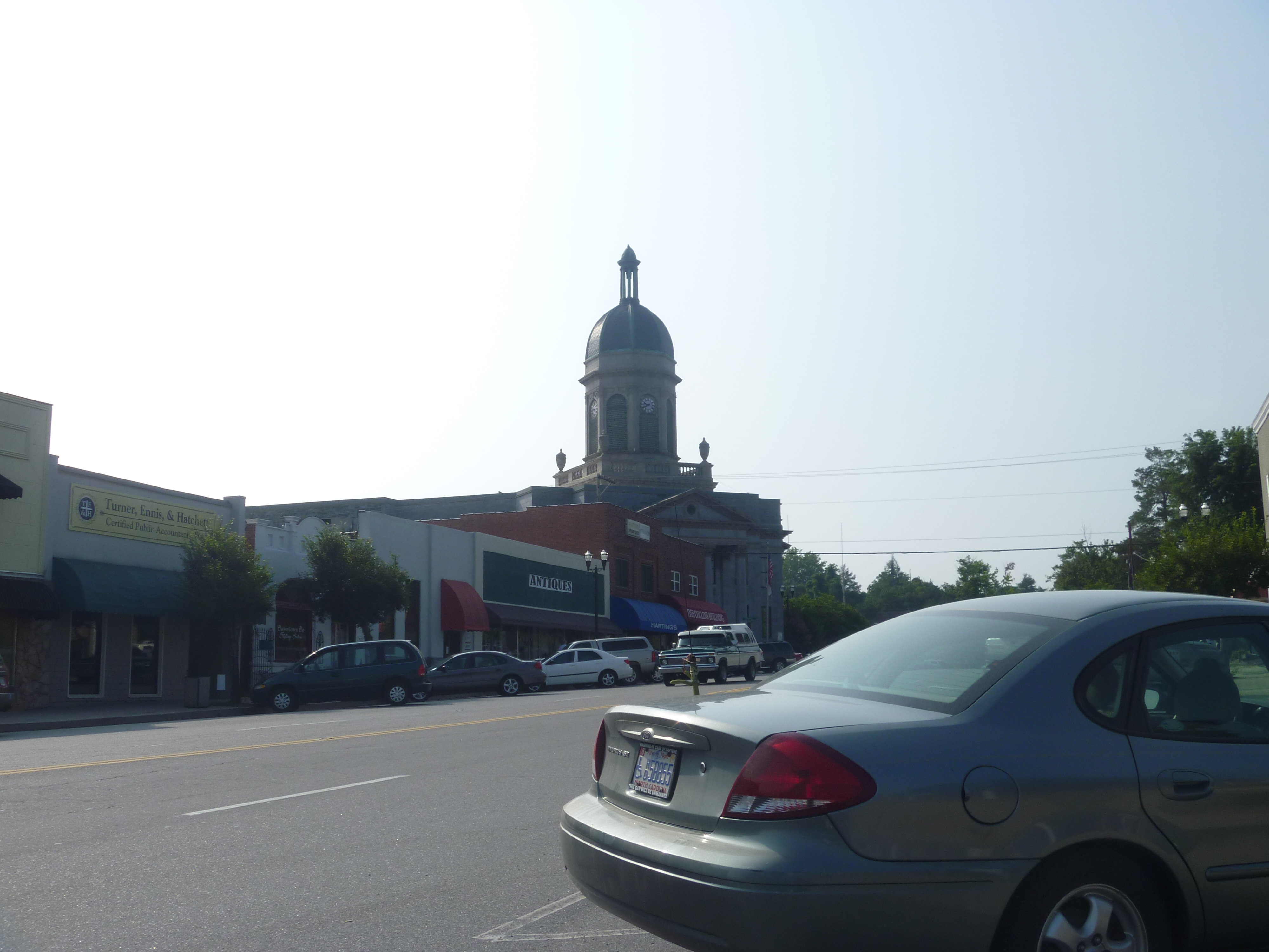
Downtown Murphy NC And The Cherokee County Courthouse

Hawkesdene House Barn Side View

Hawkesdene House View of another house

Davidson Hall J. C. Campbell Folk School

View of wood oven and open hearth areas

View of the building from the parking lot

Our Views Below the Eclipse

Clocktower/Cupola And Side View Of Cherokee County Courthouse

Top Side View Of Cherokee County Courthouse

Side And Front View Of Cherokee County Courthouse

Our View

Top Side View Of Cherokee County Courthouse

Morning view in Murphy, NC

Morning view in Murphy, NC.

PaulineFamily_20080705-181557

The Great Smoky Mountains

Baled Hay and Barn

Red Barn and Blue Sky

Man and Squirrel on Tracks

Valley River I

Scarecrow and Barn

River Framed

Spring Green
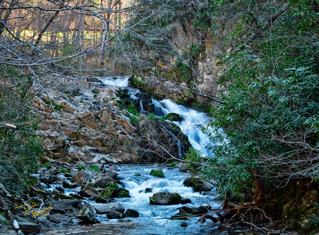
North Carolina Waterfall

Valley Fields

4th of July Celebration

River of Reflections

Rolling Field Barn
L & N Train Trestle

Red Brick Church
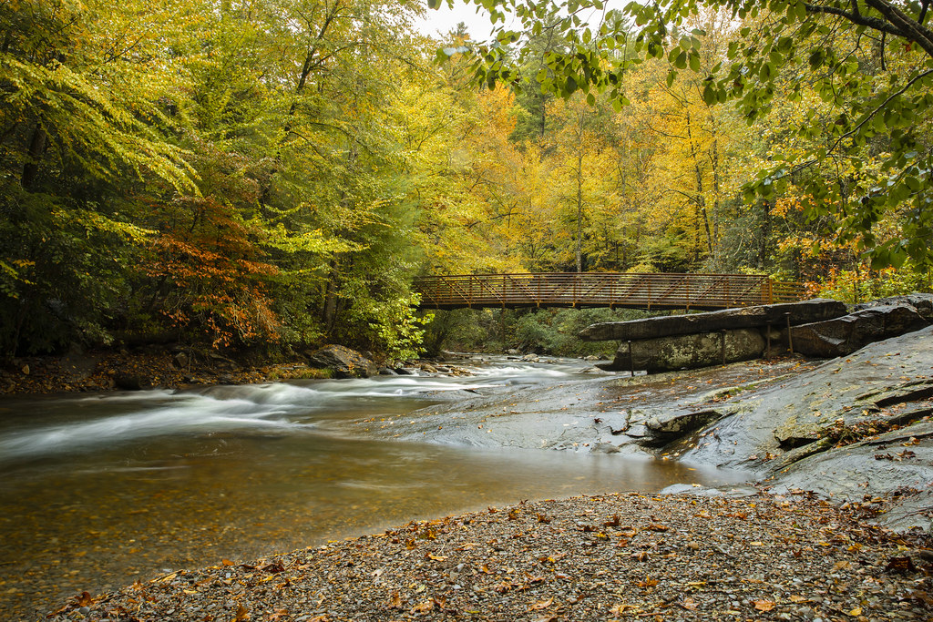
Fires Creek Pedestrian Bridge
Topographic Map of Loop Lane, Loop Ln, North Carolina, USA
Find elevation by address:

Places near Loop Lane, Loop Ln, North Carolina, USA:
Daylily Drive
45 Orchid Ln
401 Long Branch Rd
2460 Long Branch Rd
140 Maltby Rd
289 Golden Pond Ln
85 Autumn Branch Ln
184 Bradford Dr
124 Bradford Dr
183 Bradford Dr
350 Londonderry Dr
380 Londonderry Dr
351 Londonderry Dr
444 Londonderry Dr
39 Upper Ridge Rd
Knob Hill Rd
Daylily Drive
6686 Nc-141
70 Dead End Trail
50 Mountain View Trail
Recent Searches:
- Elevation of Corso Fratelli Cairoli, 35, Macerata MC, Italy
- Elevation of Tallevast Rd, Sarasota, FL, USA
- Elevation of 4th St E, Sonoma, CA, USA
- Elevation of Black Hollow Rd, Pennsdale, PA, USA
- Elevation of Oakland Ave, Williamsport, PA, USA
- Elevation of Pedrógão Grande, Portugal
- Elevation of Klee Dr, Martinsburg, WV, USA
- Elevation of Via Roma, Pieranica CR, Italy
- Elevation of Tavkvetili Mountain, Georgia
- Elevation of Hartfords Bluff Cir, Mt Pleasant, SC, USA