Elevation of Long Prairie, MN, USA
Location: United States > Minnesota > Todd County >
Longitude: -94.865577
Latitude: 45.9746867
Elevation: 394m / 1293feet
Barometric Pressure: 97KPa
Elevation Map:
Satellite Map:
Related Photos:
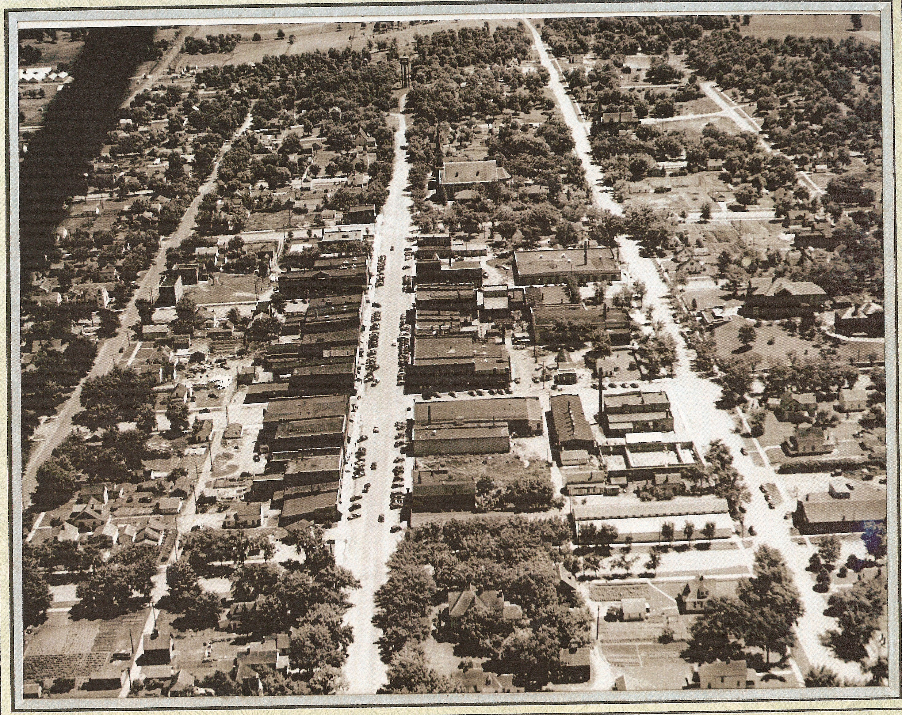
Areal view of Long Prairie, 1950ish

Townsend's Solitaire
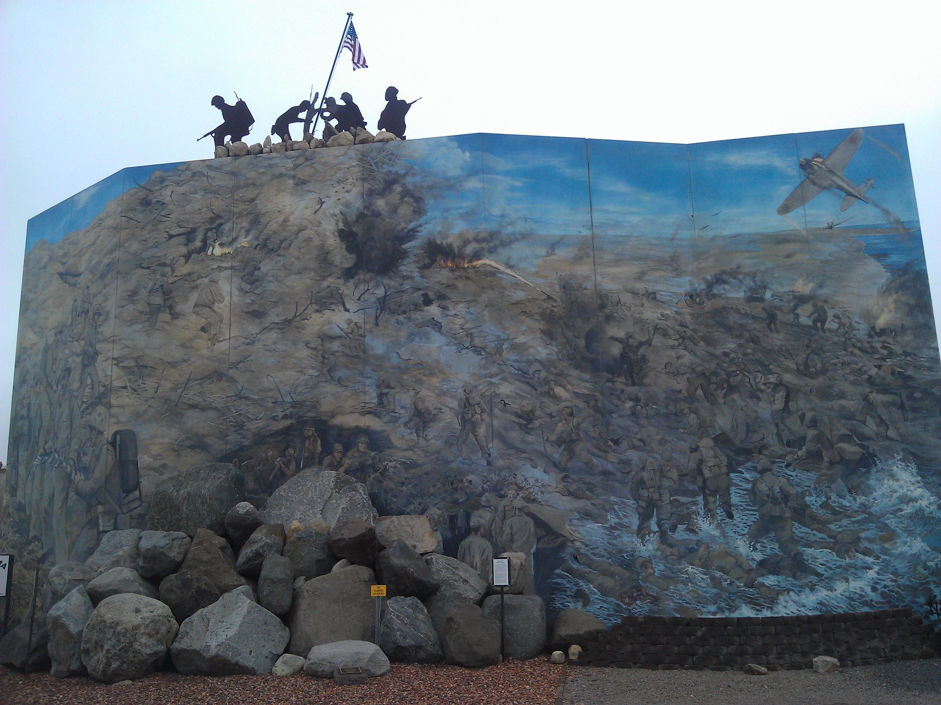
Veterans Memorial Park- Long Prairie MN (8)

PAM Civic Legacy Project: Todd County Courthouse | Long Prairie, MN

Veterans Memorial Park- Long Prairie MN (7)
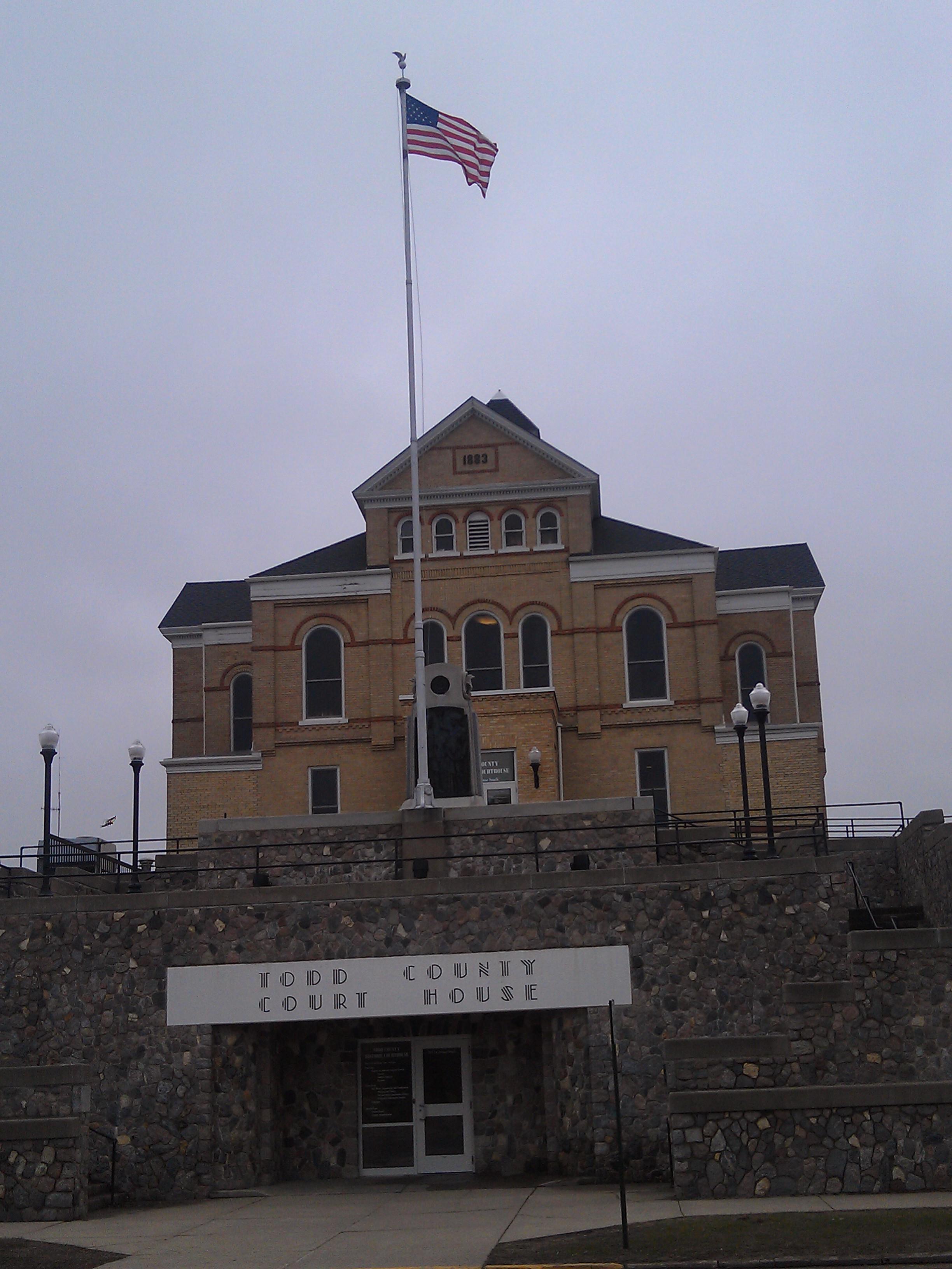
Todd County Courthouse- Long Prairie MN (1)

Todd County Courthouse- Long Prairie MN (2)
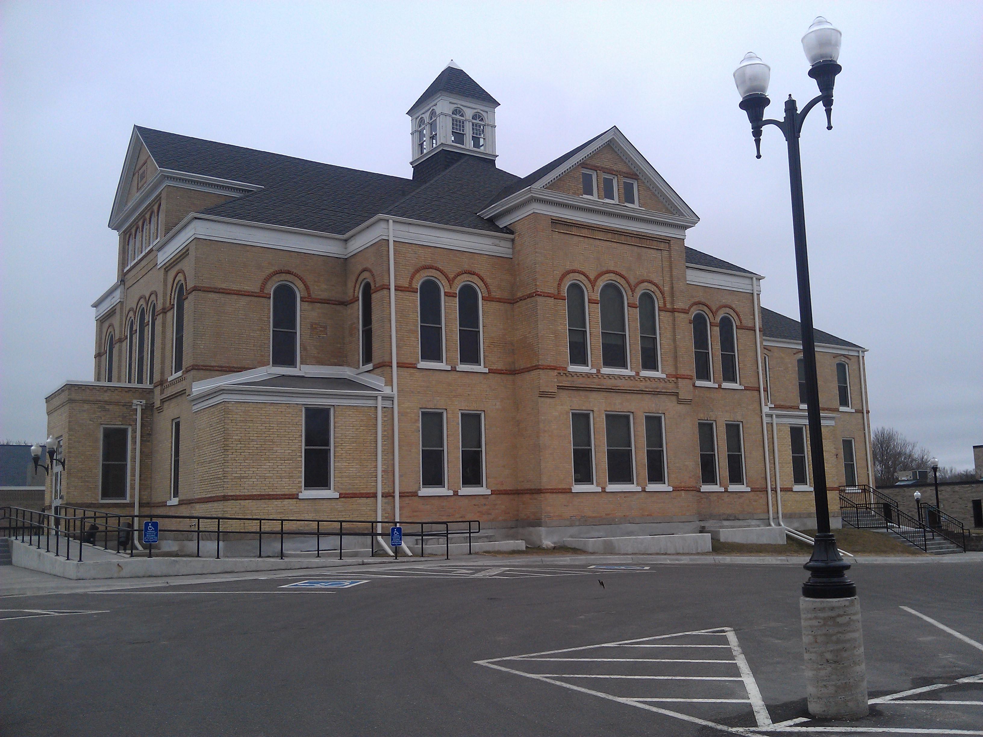
Todd County Courthouse- Long Prairie MN (3)
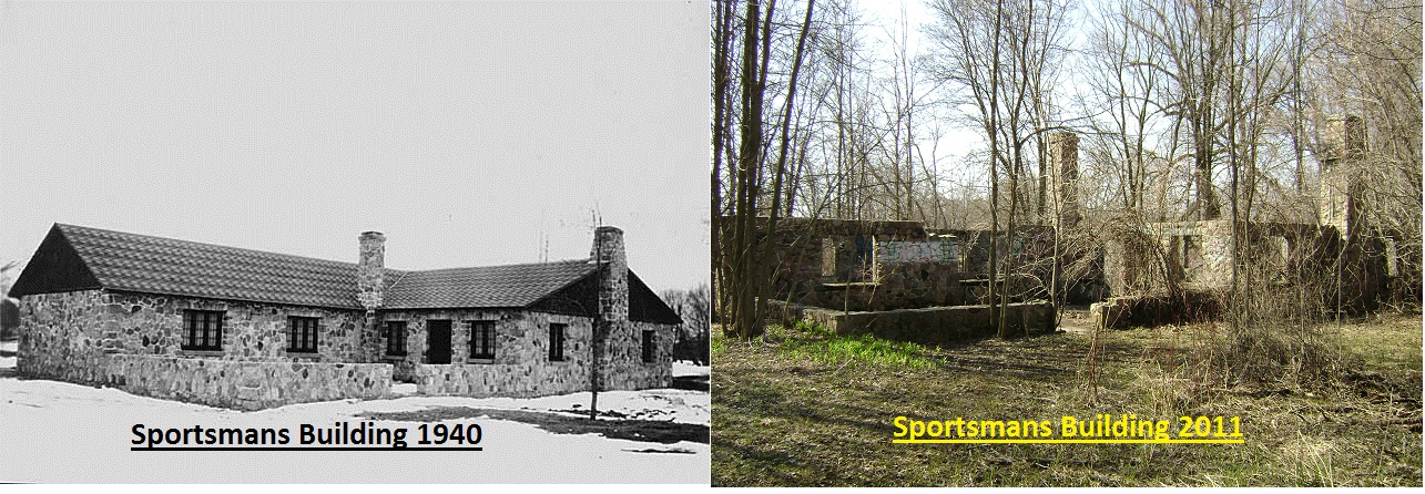
Mosquito Park Sportmans bldg then and now

Nikki Wagner Steele
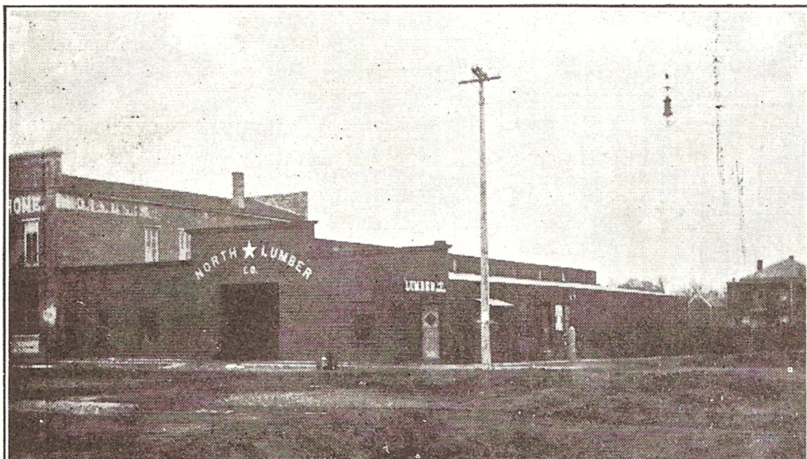
North Star lumber

.

Then and Now Hart's
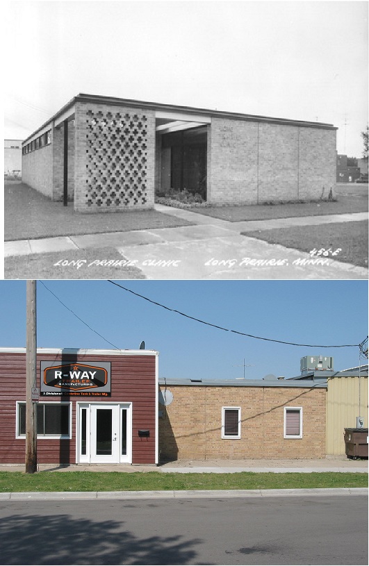
Then and now LP clinic
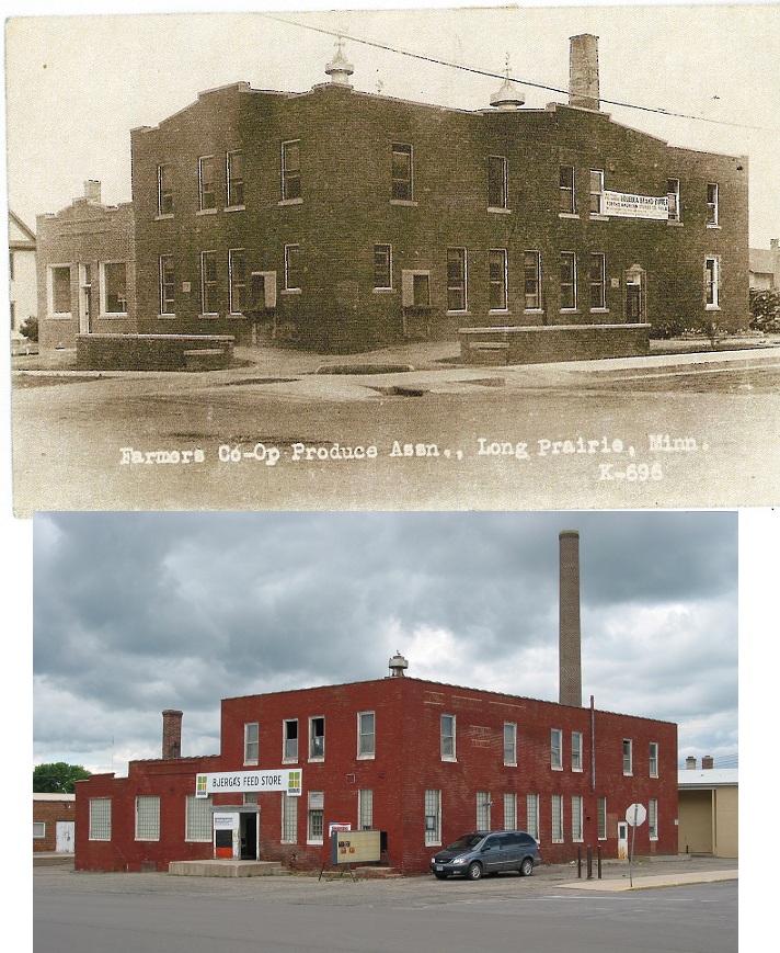
Then and Now LP creamery
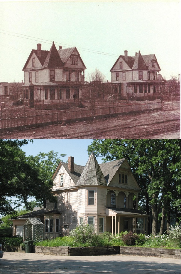
then and now twin houses
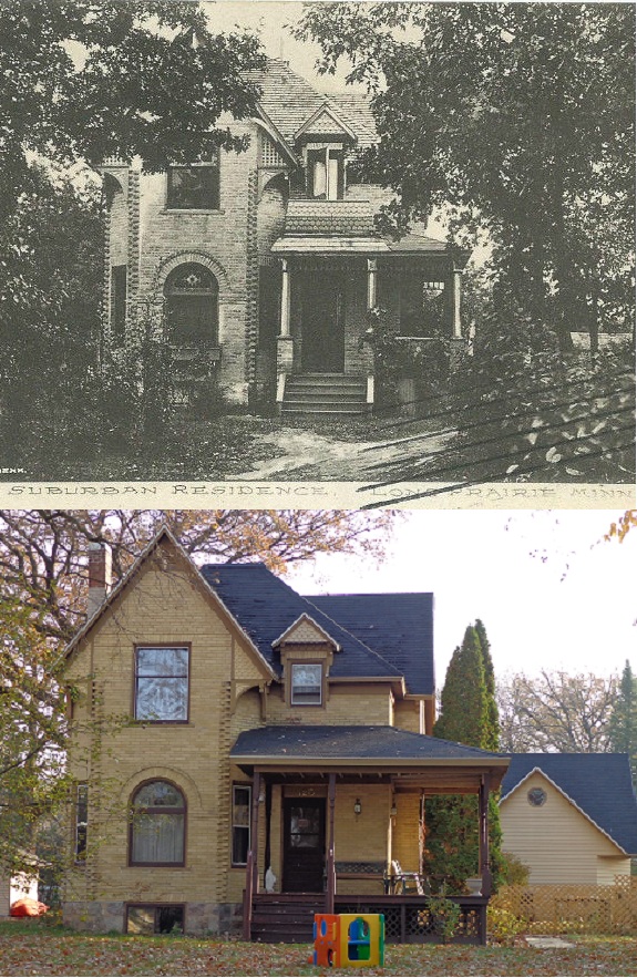
Then and Now Reichert residence

.

Then and Now-Riverside cottage
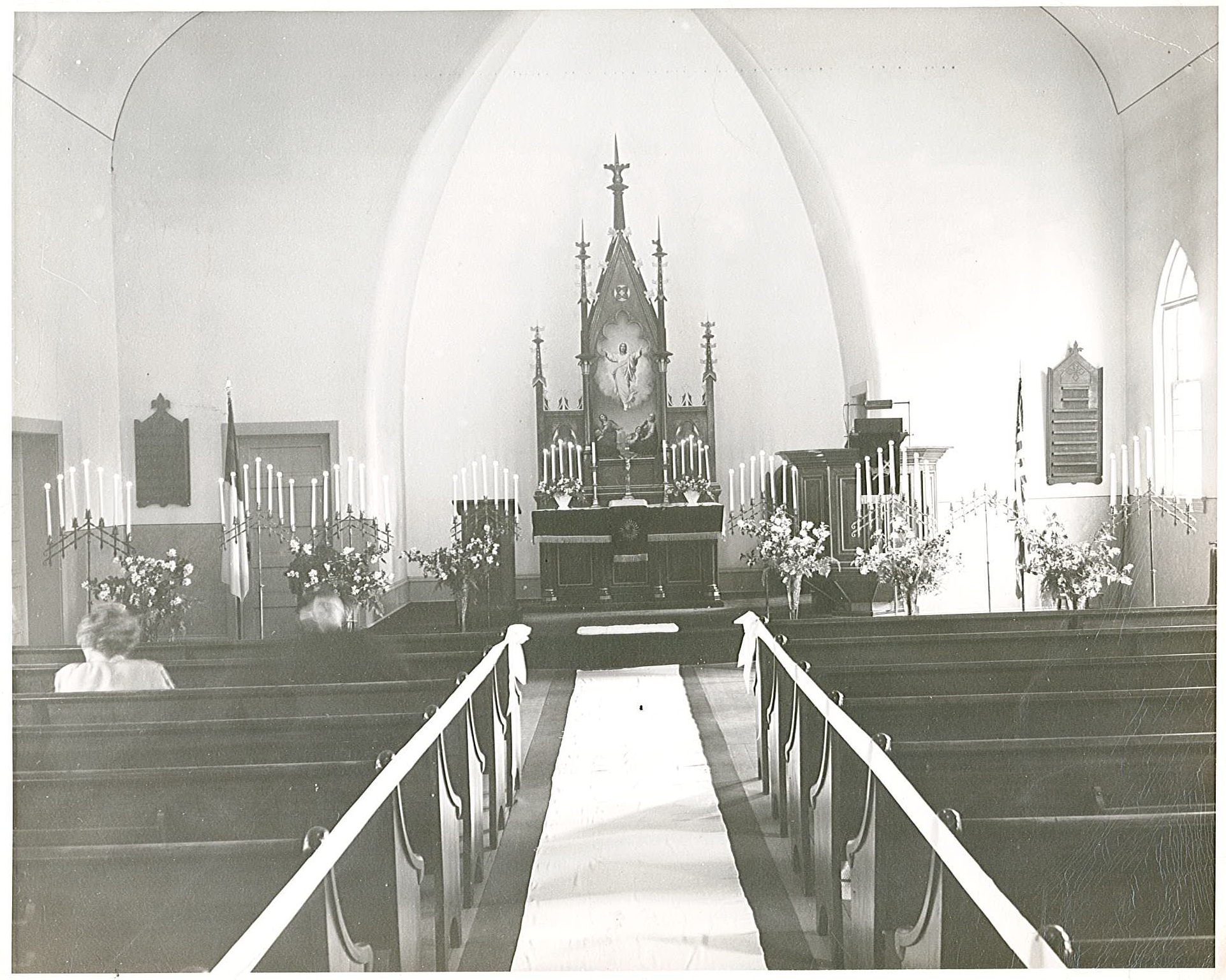
Trinity luthern

twin houses
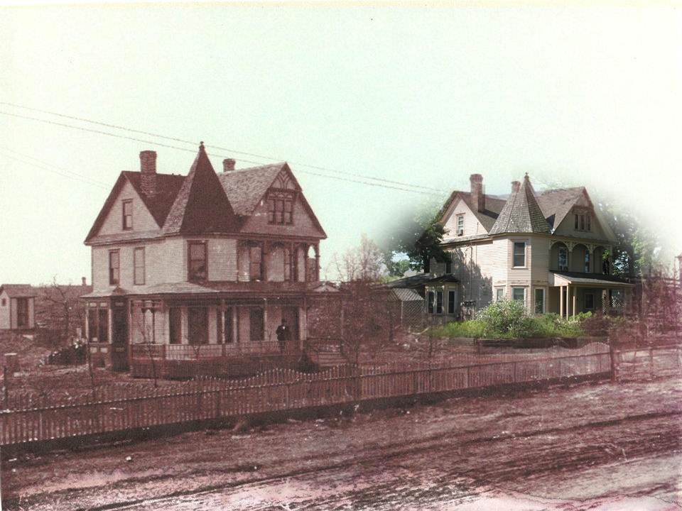
twin houses blended
Topographic Map of Long Prairie, MN, USA
Find elevation by address:

Places in Long Prairie, MN, USA:
Places near Long Prairie, MN, USA:
11 Central Ave, Long Prairie, MN, USA
Todd County
Birchdale Township
Kandota Township
27497 Alpha Ln
Sunsets
32747 Birch Forest Rd
Yorkshire Rd, Sauk Centre, MN, USA
10211 Agassi Dr
Sauk Centre
Melrose Township
Sauk Centre Township
Melrose
14 E Nokomis St, Osakis, MN, USA
37132 350th Ave
County 7
Cushing
30851 Fishtrap Lake Dr
Grove Township
1st Ave SE, Bertha, MN, USA
Recent Searches:
- Elevation of Corso Fratelli Cairoli, 35, Macerata MC, Italy
- Elevation of Tallevast Rd, Sarasota, FL, USA
- Elevation of 4th St E, Sonoma, CA, USA
- Elevation of Black Hollow Rd, Pennsdale, PA, USA
- Elevation of Oakland Ave, Williamsport, PA, USA
- Elevation of Pedrógão Grande, Portugal
- Elevation of Klee Dr, Martinsburg, WV, USA
- Elevation of Via Roma, Pieranica CR, Italy
- Elevation of Tavkvetili Mountain, Georgia
- Elevation of Hartfords Bluff Cir, Mt Pleasant, SC, USA