Elevation of Londonderry, VT, USA
Location: United States > Vermont > Windham County >
Longitude: -72.806486
Latitude: 43.2264643
Elevation: 349m / 1145feet
Barometric Pressure: 97KPa
Elevation Map:
Satellite Map:
Related Photos:

MY Little Chickadee!

Weston Vermont
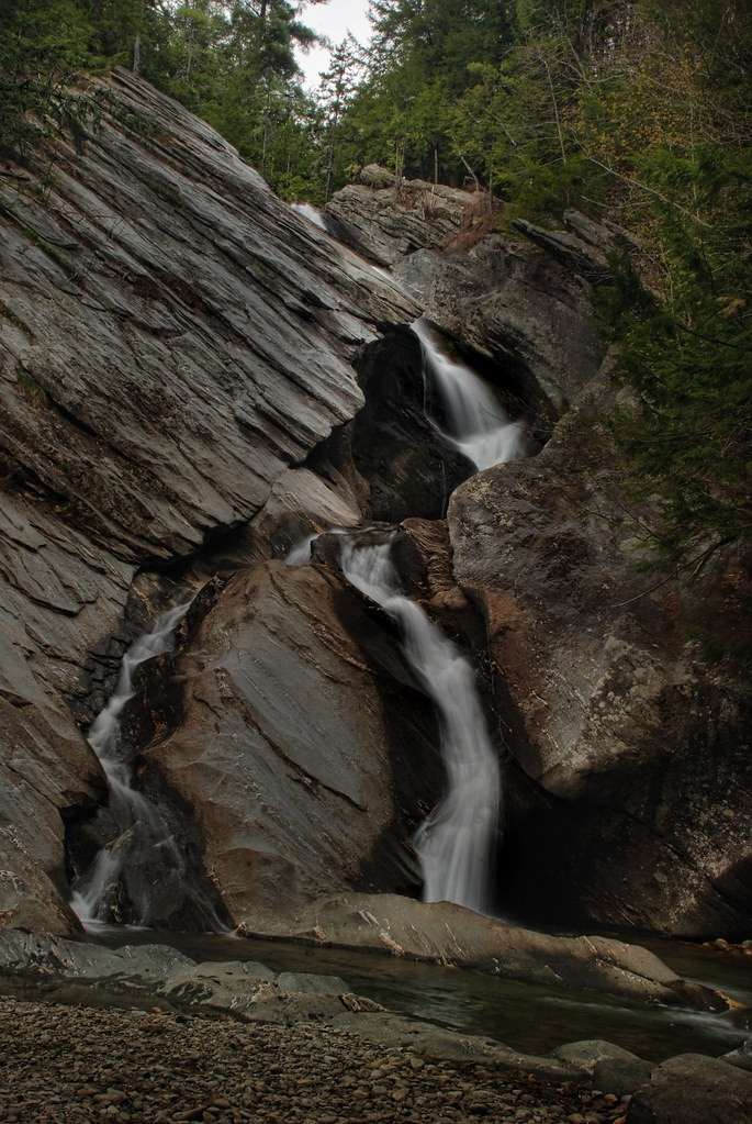
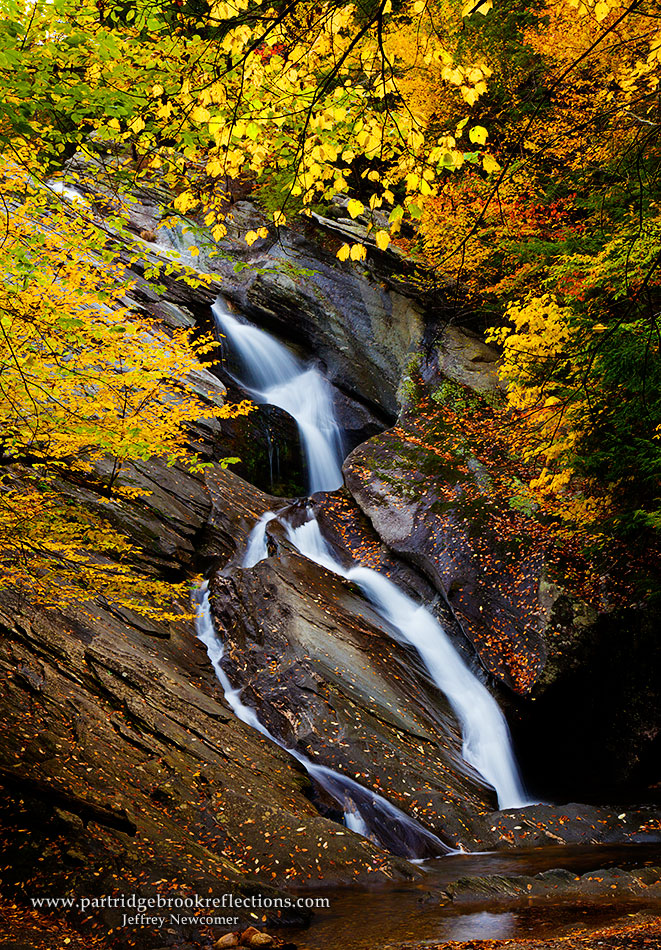
Hamilton Falls, Jamaica Vermont
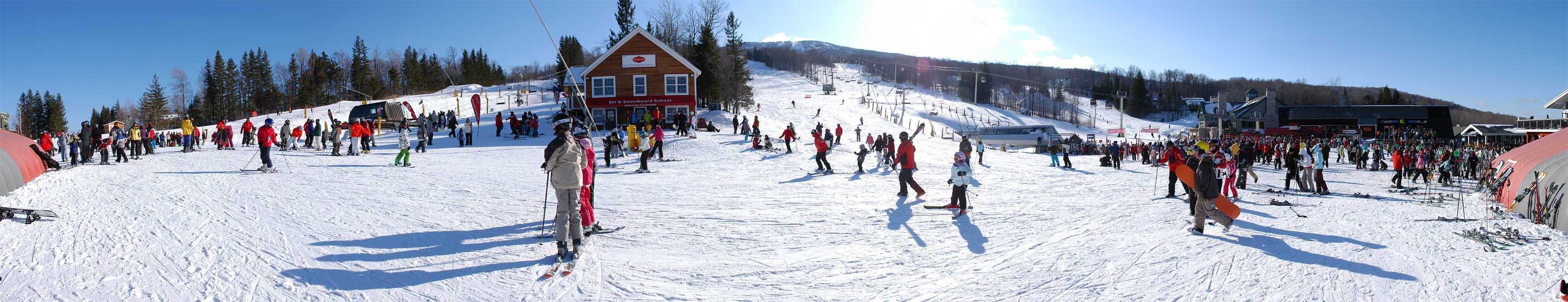
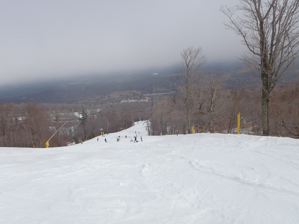
US-VT Stratton Mountain Ski Resort 2009-02-21
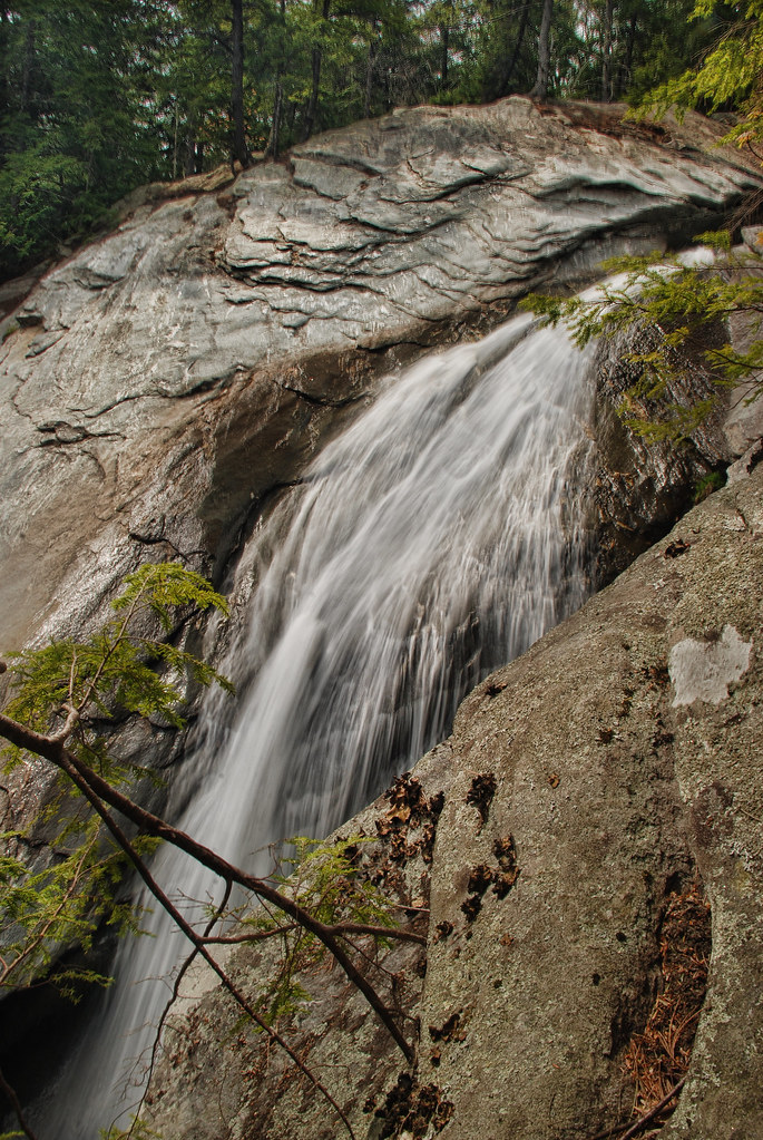
Mountain Goat View of Hamilton Falls

How Sweet It Is!!!!
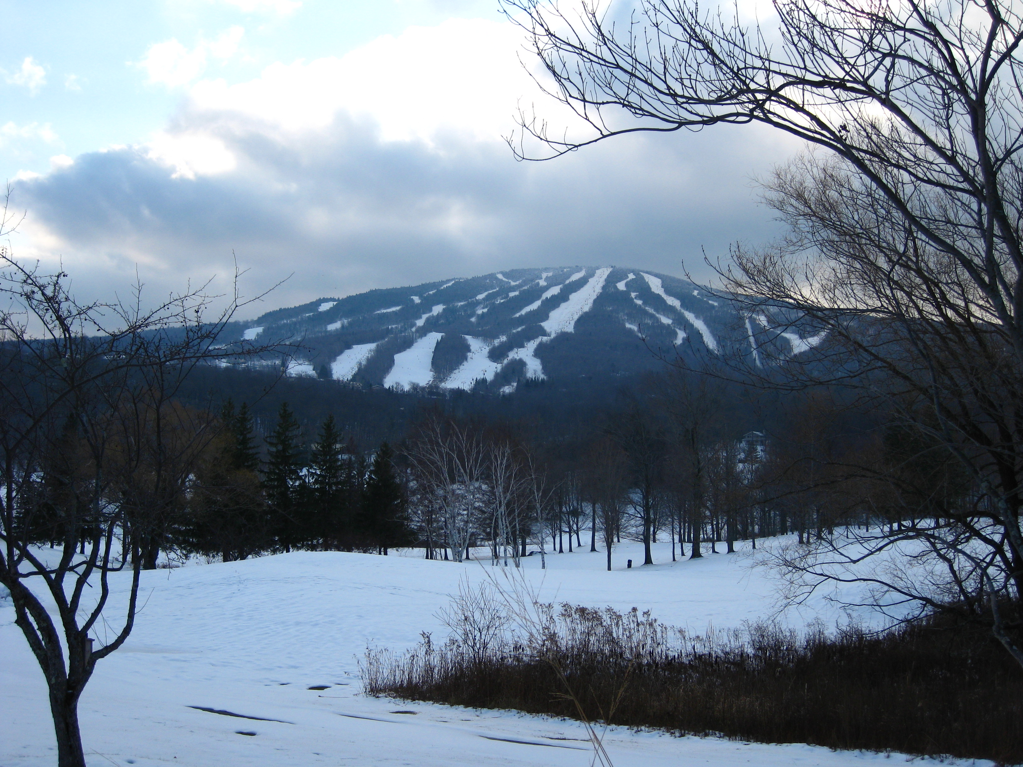
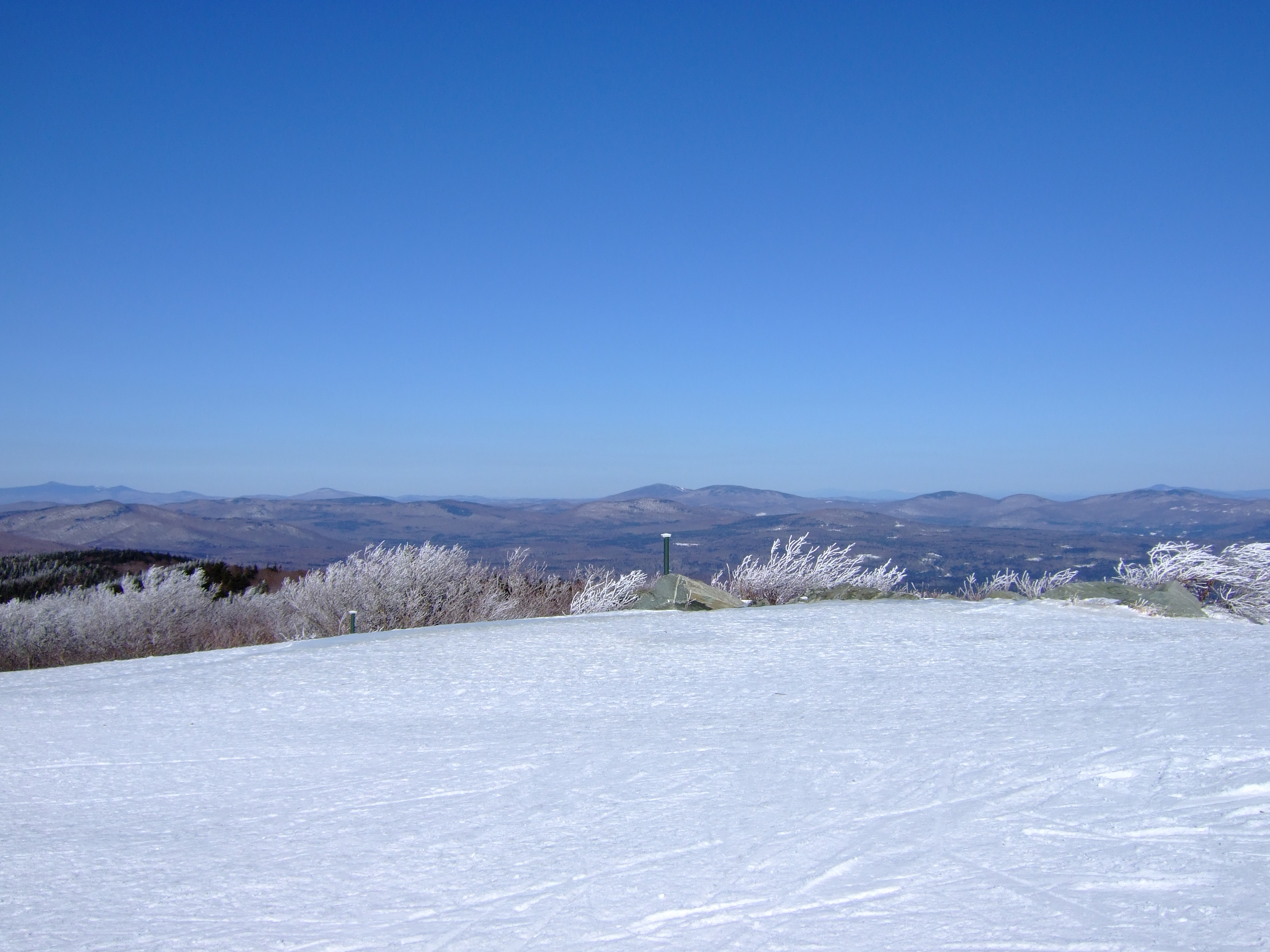
Stratton Mountain view

Waterfall at the old mill

Fall View_1
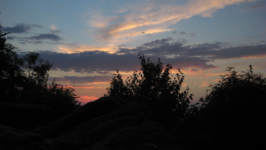
Sunrise on Peru Peak

View of my campsite's ceiling.
View from Summit of Bromley Mountain, VT

view from the living room
The Maine House Group @ Stratton Mountain Resort, VT
View from Okemo Ridge

The view through the #beer ! @strattonresort with @cduggan9 #springskiing #grizzlys #ski #northeast #snowboarding #vscocam

Vermont View

gold rush
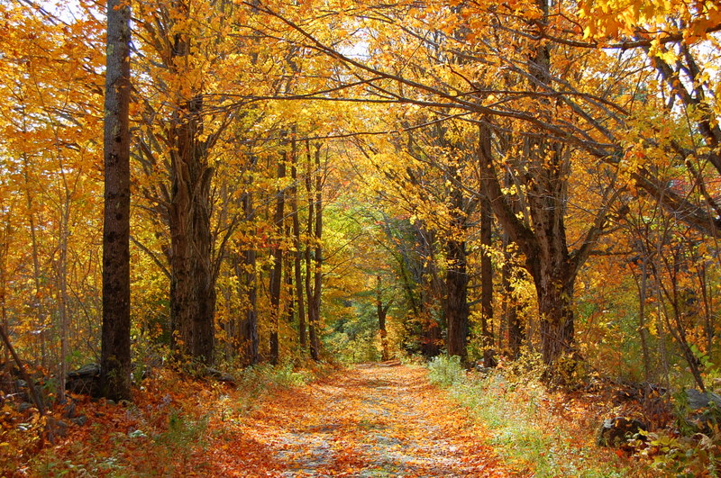
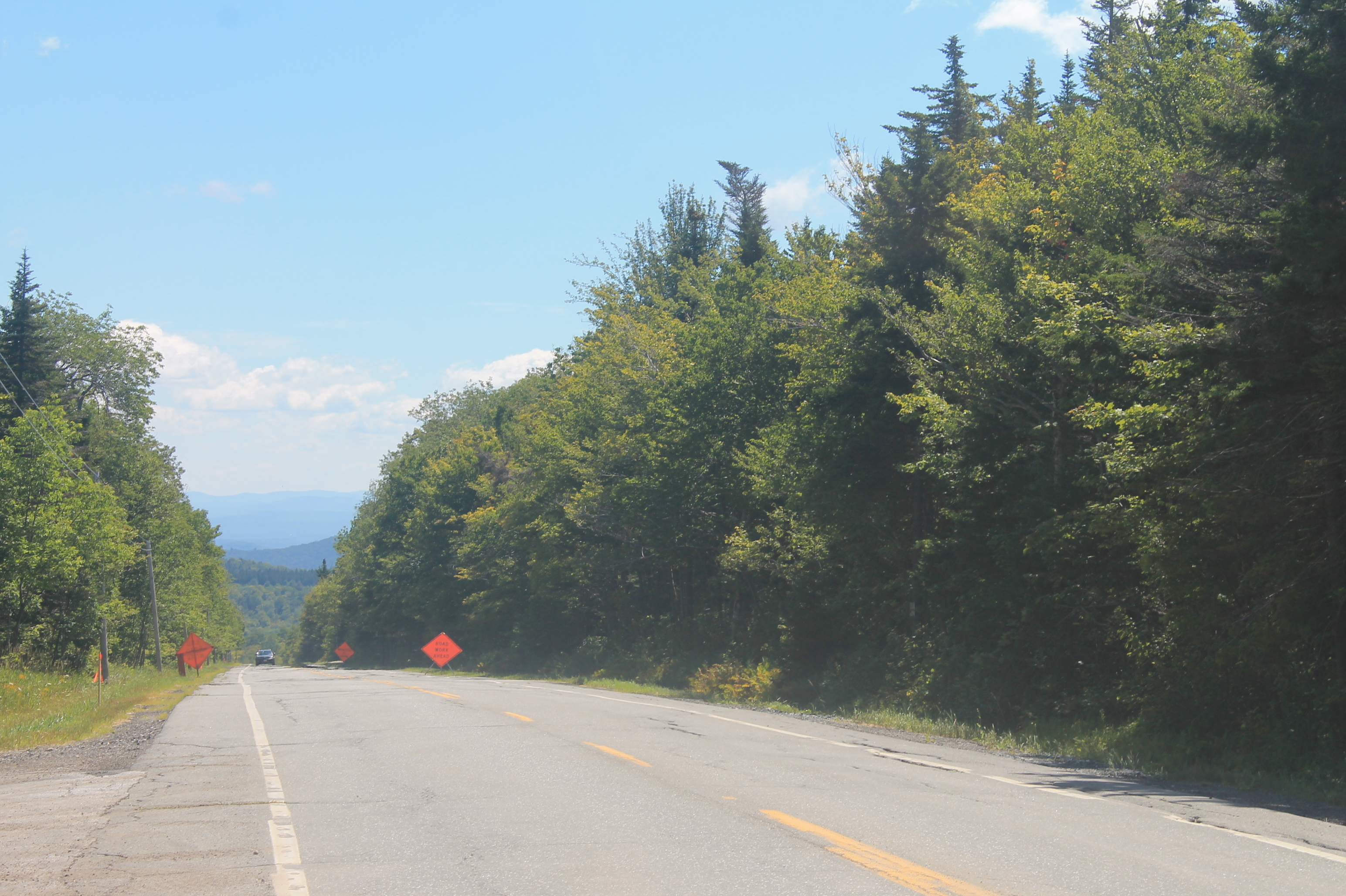
Country Roads (Explored)
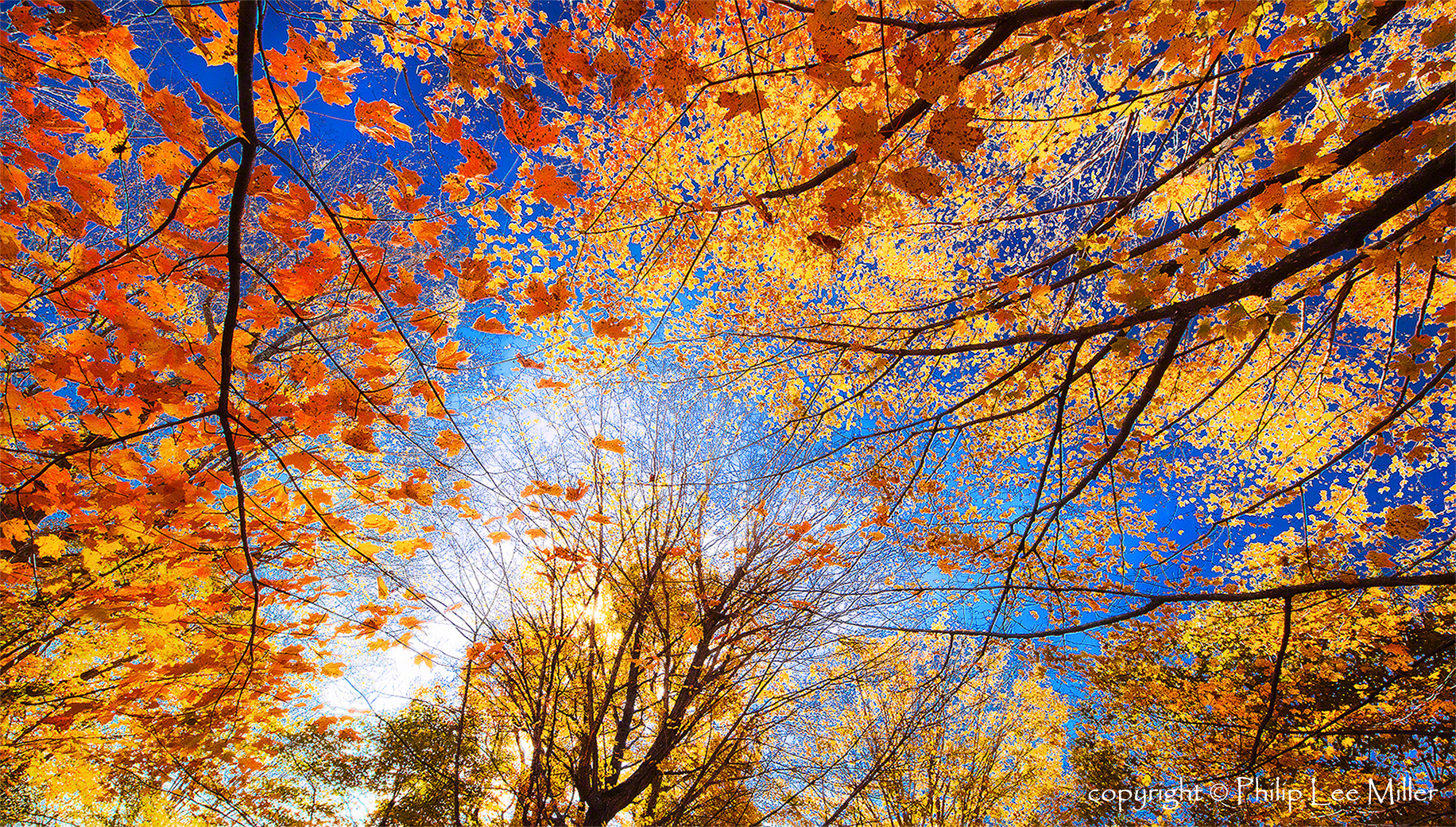
Golden Frame
Vermont 005
∞

Weston Vermont in the autumn

The Dumplings

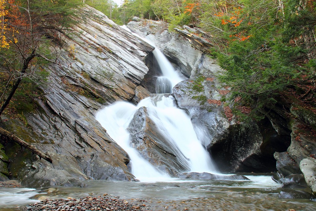
Pikes Falls - Upper - Vermont

The Perfect Fake! (Explored!)

N Rd - Peru, VT
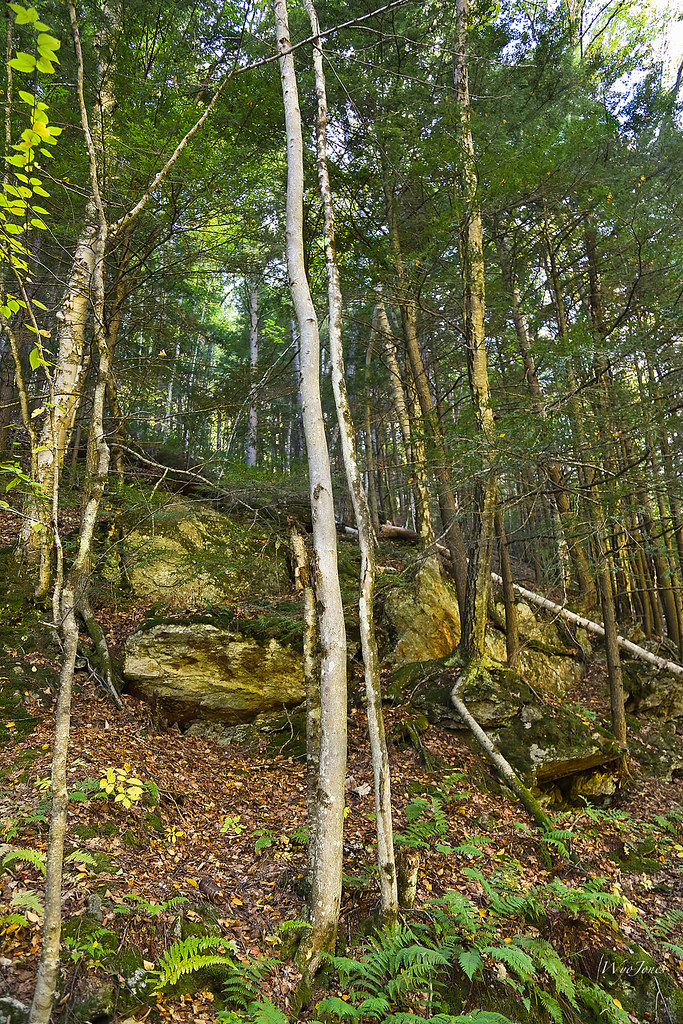
Trees and Metamorphic Rock
Vermont Mosaic

Along Rt 11 - Bromley, VT
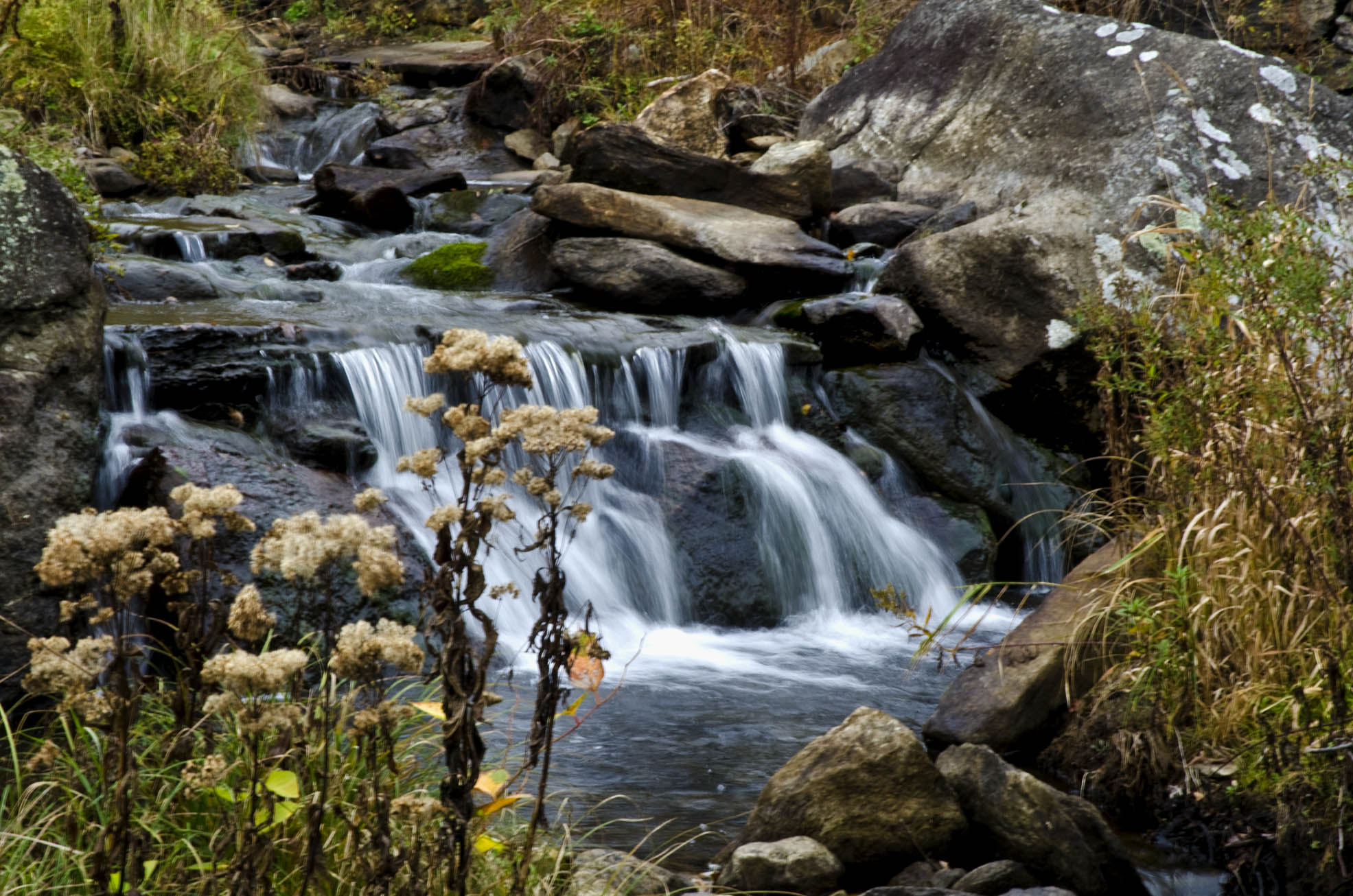
Weston Vermont falls

Weston Vermont graveyard

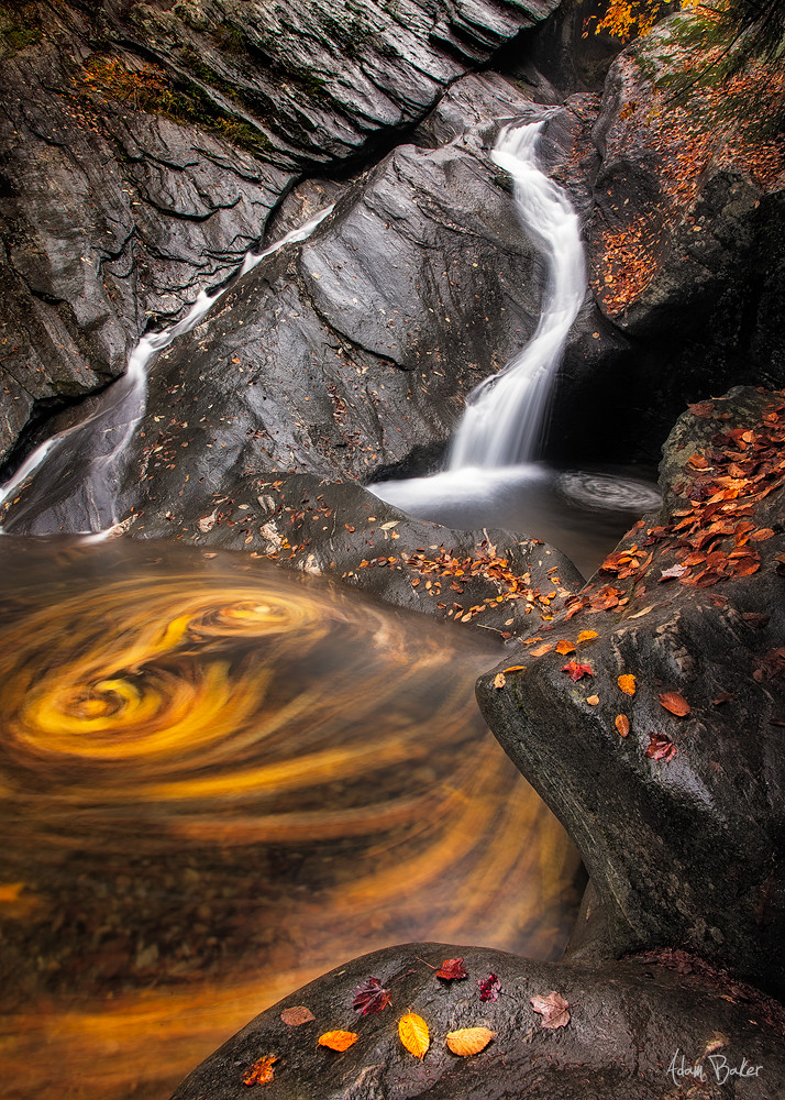
Never give up; for even rivers someday wash dams away...
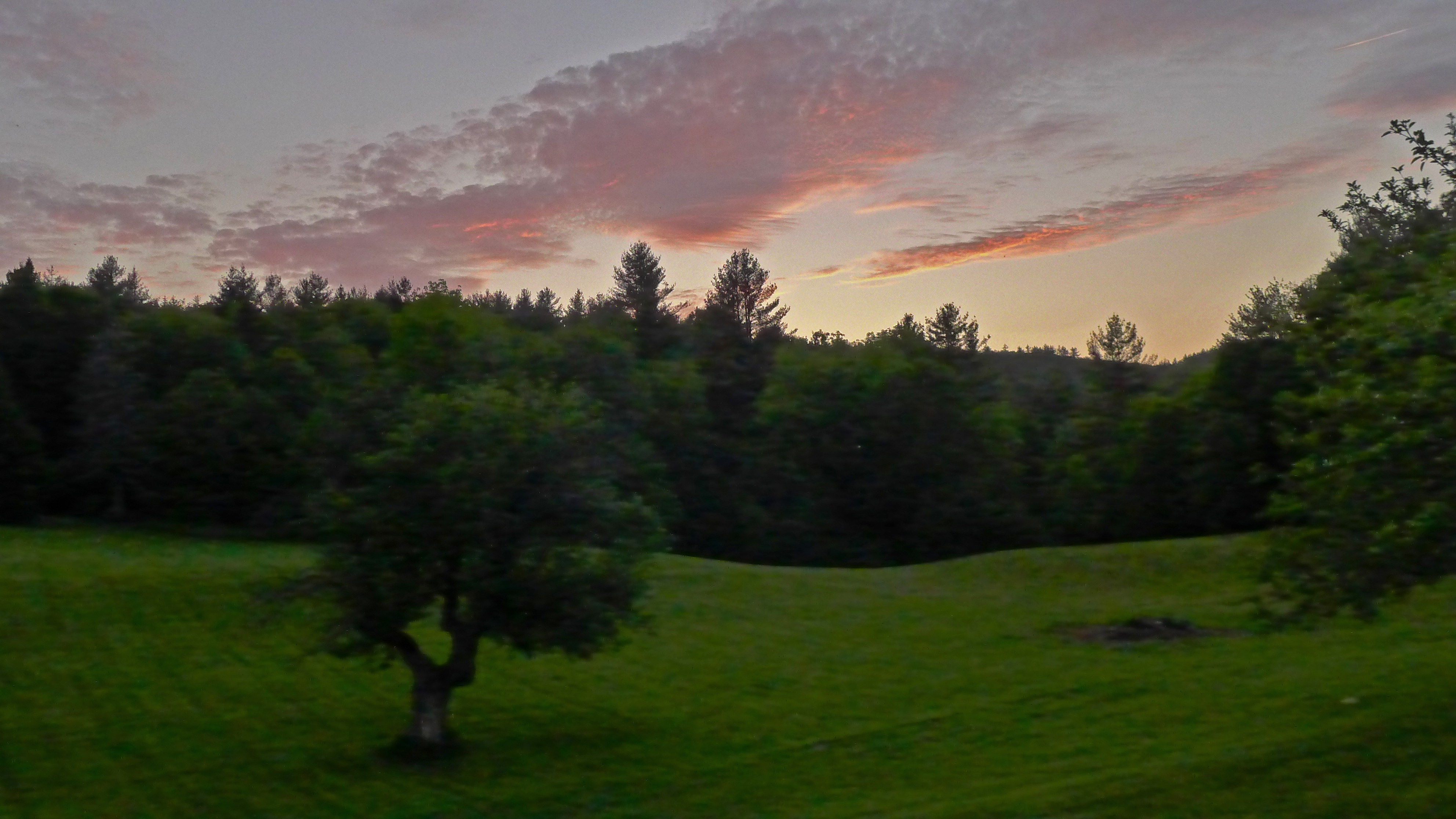
Kinhaven-pasture-301

N Rd - Peru, VT
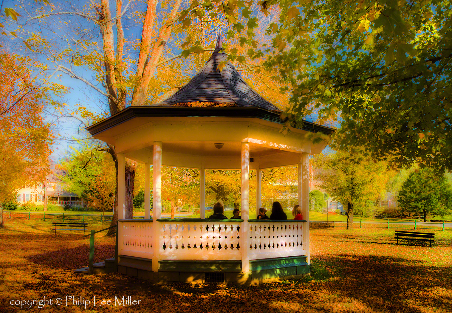
The Gazebo
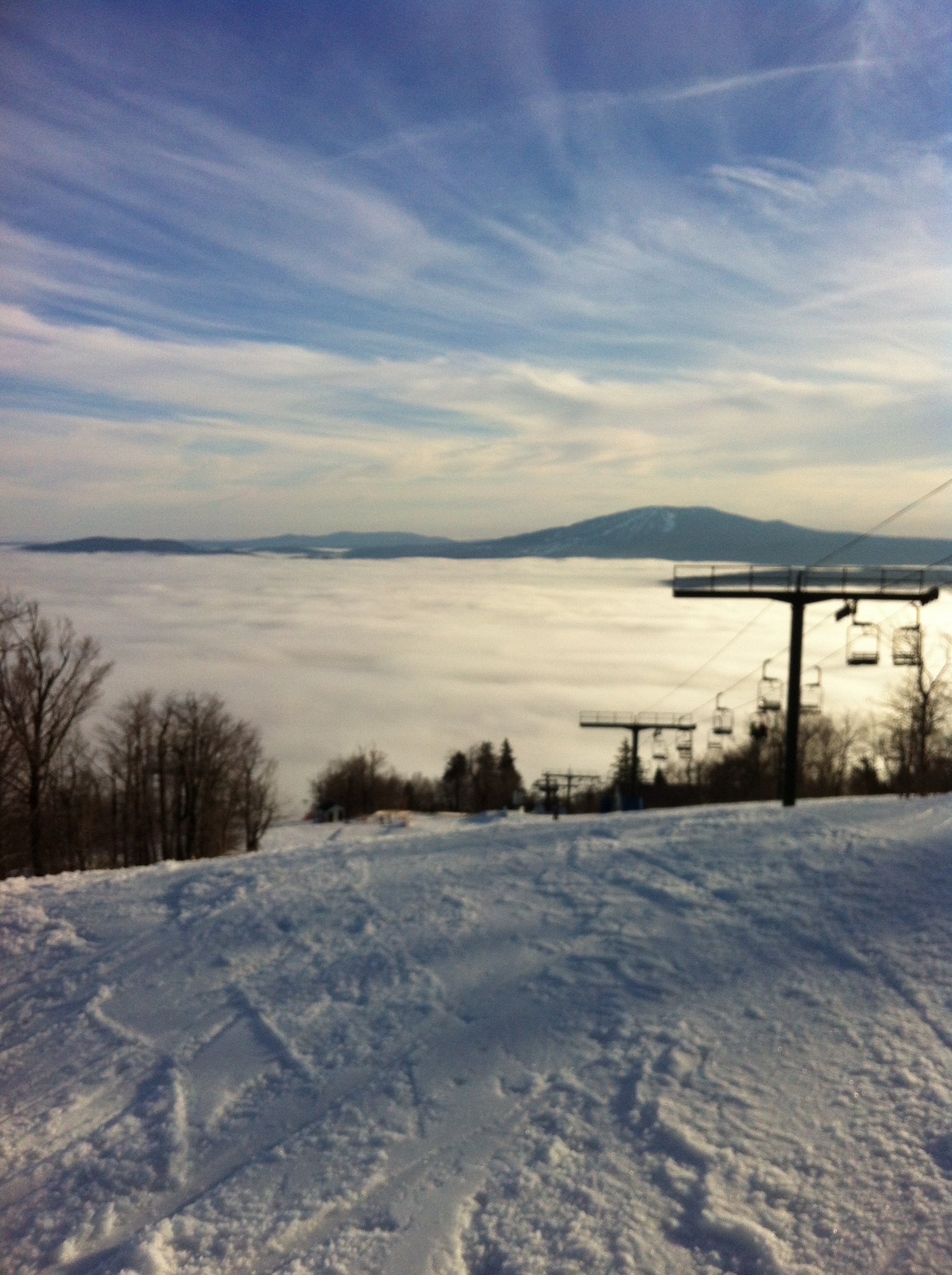
photo (10)

photo (11)
Topographic Map of Londonderry, VT, USA
Find elevation by address:

Places in Londonderry, VT, USA:
South Londonderry
Middletown Rd, Londonderry, VT, USA
17 Main St, South Londonderry, VT, USA
Chaves Road
Vermont 11
Vermont 11
Places near Londonderry, VT, USA:
Middletown Rd, Londonderry, VT, USA
5700 Vt-100
Vermont 11
Vermont 11
5395 Vt-100
160 Landgrove Rd
621 Parsons Ln
Chaves Road
653 Middletown Rd
609 Boynton Rd
17 Main St, South Londonderry, VT, USA
South Londonderry
363 Rowley Ln
451 Main St
1886 Winhall Hollow Rd
140 Sherwood Forest
Winhall Station Road
1426 Goodaleville Rd
1426 Goodaleville Rd
3234 Under Mountain Rd
Recent Searches:
- Elevation of Corso Fratelli Cairoli, 35, Macerata MC, Italy
- Elevation of Tallevast Rd, Sarasota, FL, USA
- Elevation of 4th St E, Sonoma, CA, USA
- Elevation of Black Hollow Rd, Pennsdale, PA, USA
- Elevation of Oakland Ave, Williamsport, PA, USA
- Elevation of Pedrógão Grande, Portugal
- Elevation of Klee Dr, Martinsburg, WV, USA
- Elevation of Via Roma, Pieranica CR, Italy
- Elevation of Tavkvetili Mountain, Georgia
- Elevation of Hartfords Bluff Cir, Mt Pleasant, SC, USA