Elevation of Lomax Dr, Winchester, VA, USA
Location: United States > Virginia > Winchester >
Longitude: -78.185157
Latitude: 39.1684878
Elevation: 231m / 758feet
Barometric Pressure: 99KPa
Elevation Map:
Satellite Map:
Related Photos:
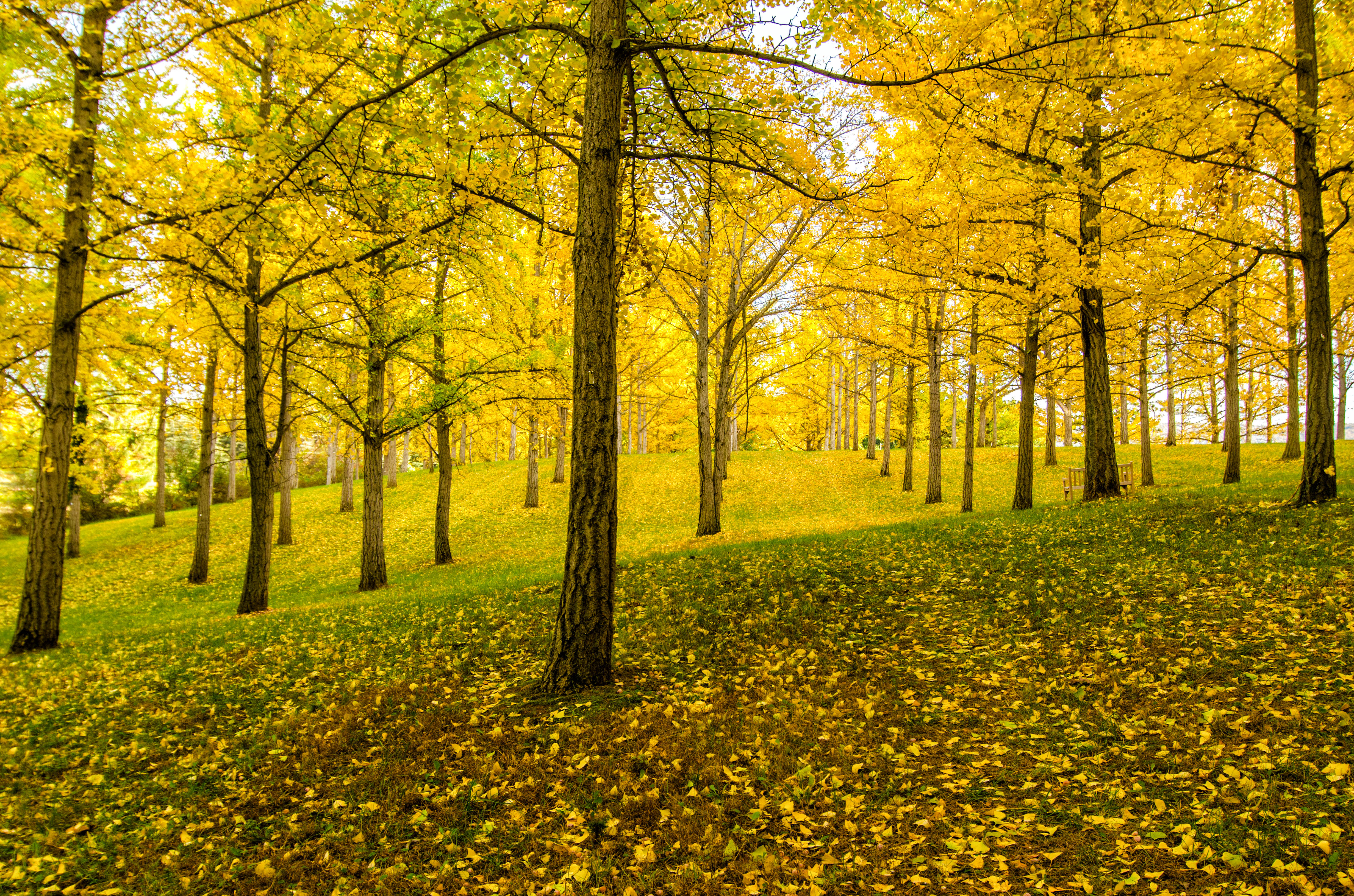
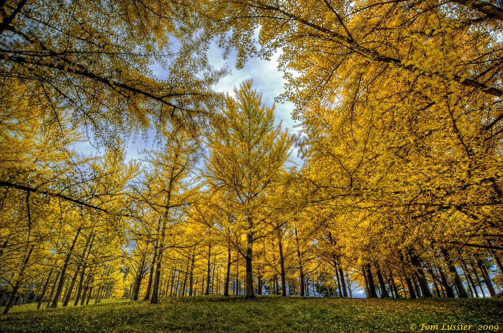
Ginkgo Grove
INDIAN HOLLOW

A view of the Ginkgo Grove at the Virginia State Arboretum

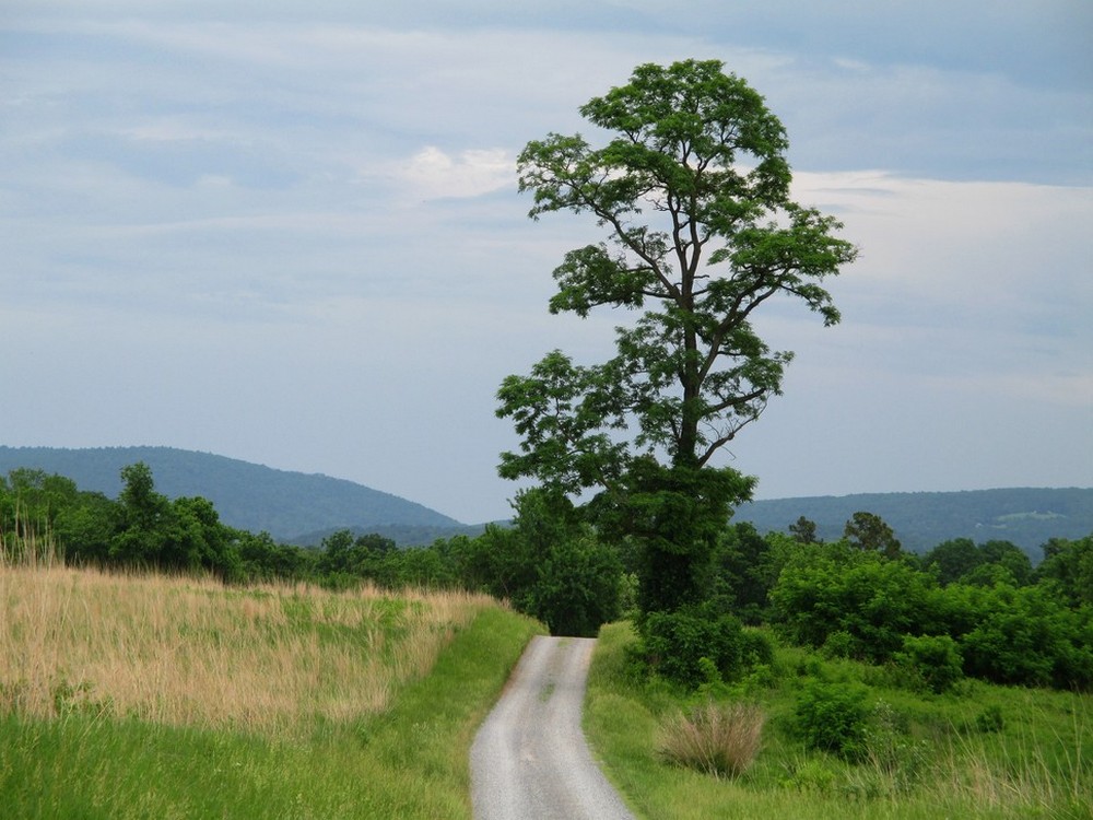
The tree in summer
VIRGINIA HIGHLANDS
ELEVATED SCENERY
Yellow Ginkgo Show

Foxtail grass, Virginia State Arboretum
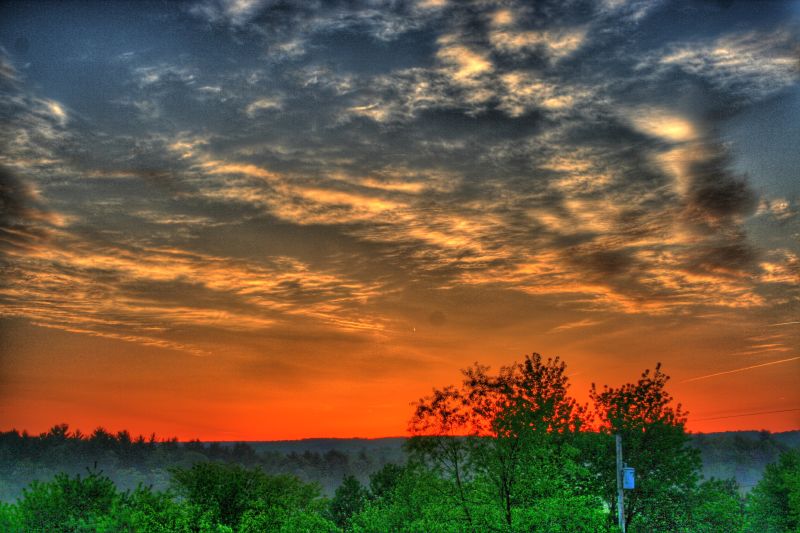
The Horizon
INTO THE SUN
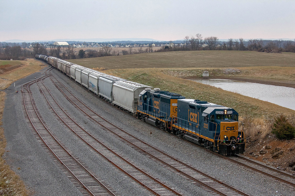
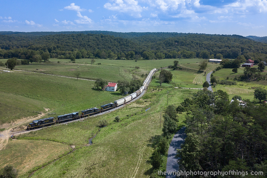
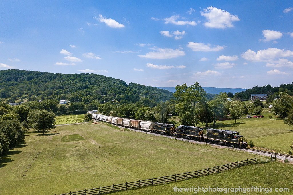
CSX D790-10 - Winchester, VA
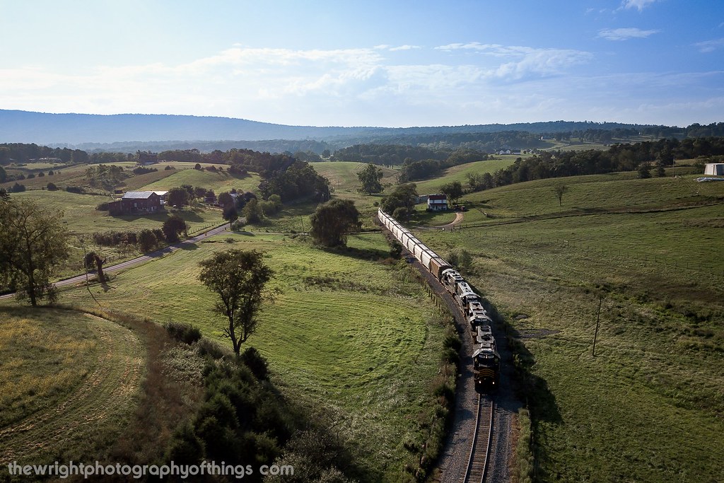
Sunrise over NSSA

The tree and the sun

Fort Loudon
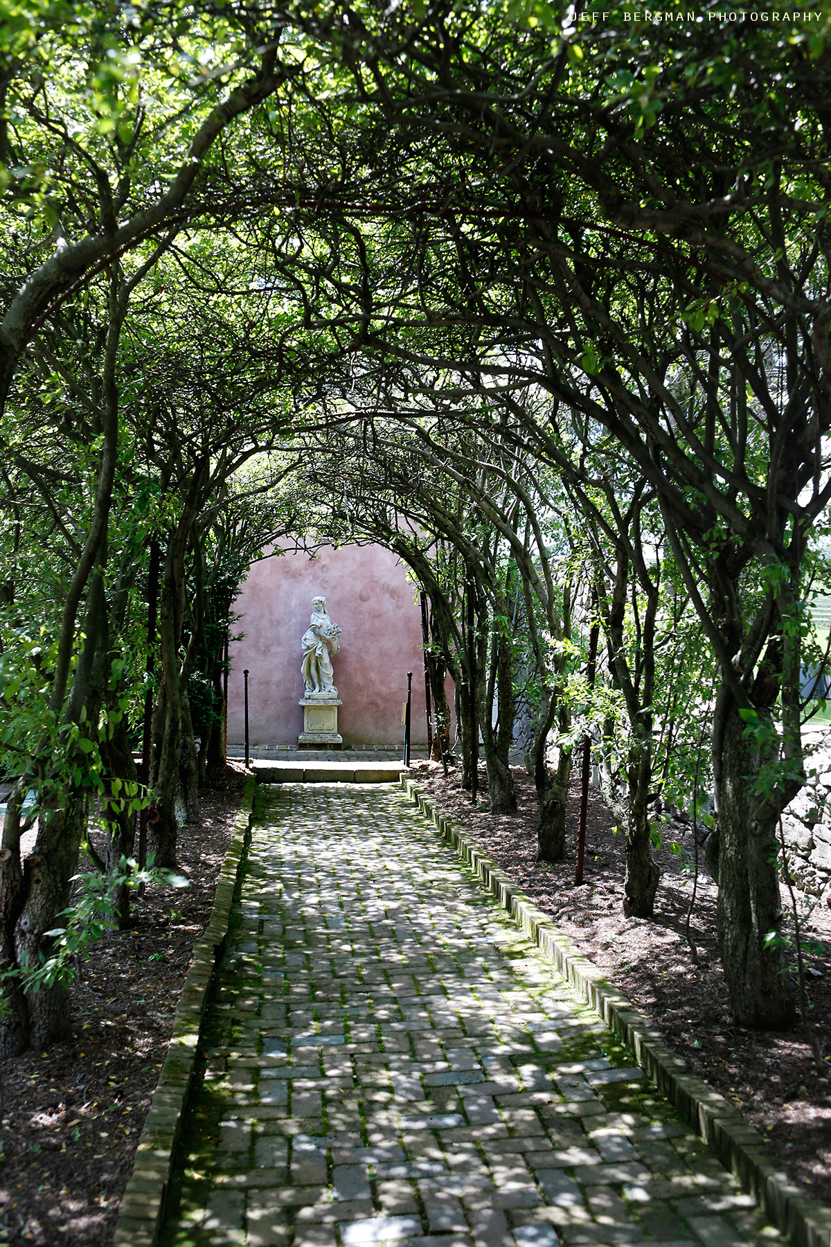
Glen Burnie Gardens - Pleached Alee

Spring fed race at the Museum of the Shenandoah Valley

Shenandoah Valley from I-81

VALLEY FARMLAND
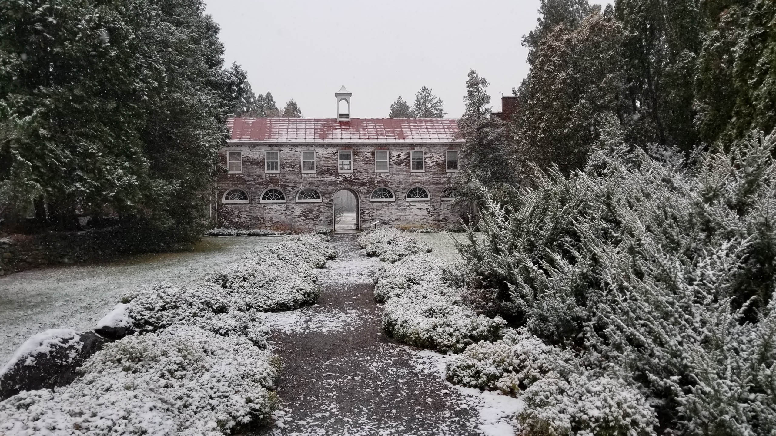
Headquarters, Blandy Experimental Farm, State Arboretum of Virginia
UP ROUND HILL

Virginia State Arboretum/Blandy Experimental Farm
Topographic Map of Lomax Dr, Winchester, VA, USA
Find elevation by address:

Places near Lomax Dr, Winchester, VA, USA:
698 Lomax Dr
698 Lomax Dr
698 Lomax Dr
609 Sterling Dr
352 Sheridan Ave
Battery Mart
14 W Southwerk St
14 W Southwerk St
14 W Southwerk St
901 Kennedy Dr
Winchester, VA, USA
341 Amherst St
Old Town
Papermill Road
1890 Amherst St
1000 Northwestern Turnpike
Winchester
114 Creekside Ln
210 Costello Dr
201 Cranberry Ct
Recent Searches:
- Elevation of Corso Fratelli Cairoli, 35, Macerata MC, Italy
- Elevation of Tallevast Rd, Sarasota, FL, USA
- Elevation of 4th St E, Sonoma, CA, USA
- Elevation of Black Hollow Rd, Pennsdale, PA, USA
- Elevation of Oakland Ave, Williamsport, PA, USA
- Elevation of Pedrógão Grande, Portugal
- Elevation of Klee Dr, Martinsburg, WV, USA
- Elevation of Via Roma, Pieranica CR, Italy
- Elevation of Tavkvetili Mountain, Georgia
- Elevation of Hartfords Bluff Cir, Mt Pleasant, SC, USA