Elevation of Loikaw, Myanmar (Burma)
Location: Myanmar (burma) > Kayah State > Loikaw >
Longitude: 97.2113605
Latitude: 19.6740066
Elevation: 877m / 2877feet
Barometric Pressure: 91KPa
Elevation Map:
Satellite Map:
Related Photos:
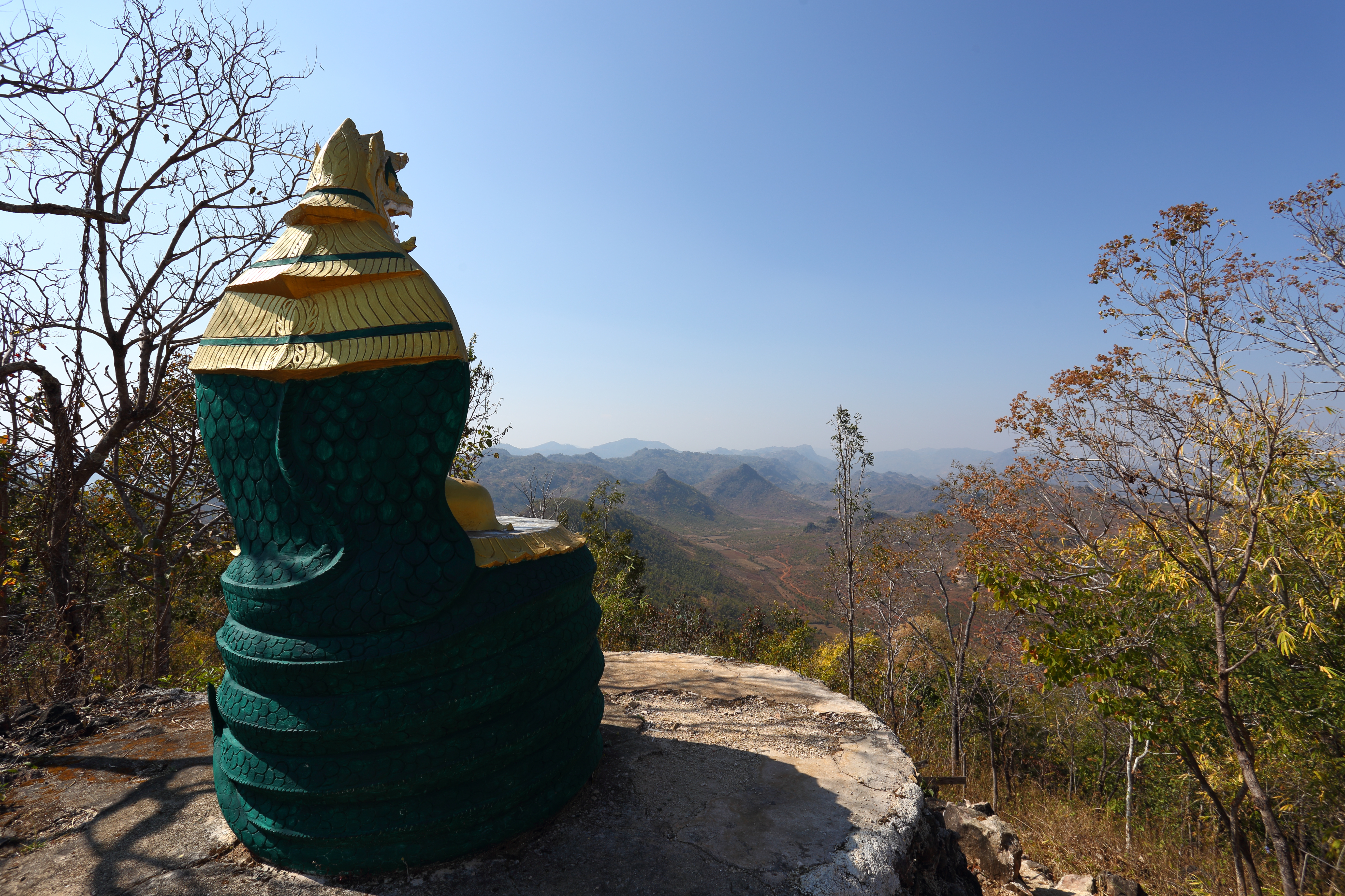
Enjoying the view - Nanmekhon
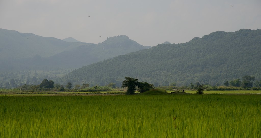
loikaw-1012_0334_DSC_4915

loikaw-0225_0143_DSC_0162

Balu Chaung River - Loikaw
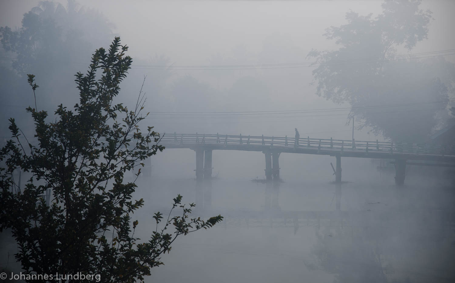
Crossing the river

Food market

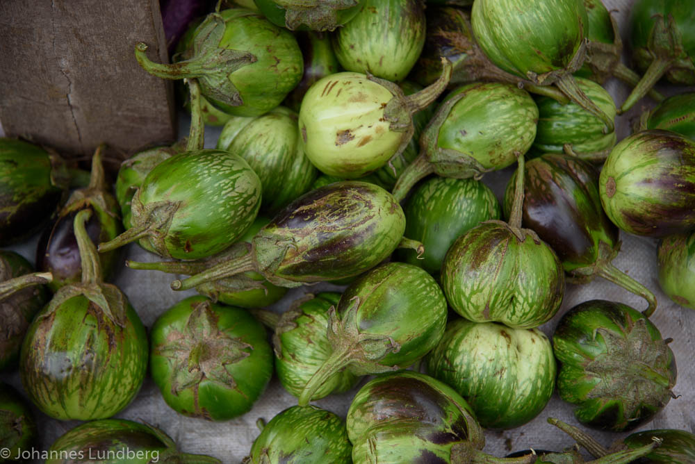
Green eggplants

Name wanted!

Bitter melon

Banana flowers

Two unknowns
Thai green eggplant
Topographic Map of Loikaw, Myanmar (Burma)
Find elevation by address:

Places near Loikaw, Myanmar (Burma):
Loikaw
Kayah State
Pai
Pang Mu
Mae Hong Son
Mueang Mae Hong Son District
Mae Hong Son
Wat To Phae
Khun Yuam District
Chaem Luang
Pai District
Karen Hill Tribe Lodge
Kalayaniwattana District
Ban Dong Mai Priest's Camp Site
Ban Dong Mai School
Recent Searches:
- Elevation of Corso Fratelli Cairoli, 35, Macerata MC, Italy
- Elevation of Tallevast Rd, Sarasota, FL, USA
- Elevation of 4th St E, Sonoma, CA, USA
- Elevation of Black Hollow Rd, Pennsdale, PA, USA
- Elevation of Oakland Ave, Williamsport, PA, USA
- Elevation of Pedrógão Grande, Portugal
- Elevation of Klee Dr, Martinsburg, WV, USA
- Elevation of Via Roma, Pieranica CR, Italy
- Elevation of Tavkvetili Mountain, Georgia
- Elevation of Hartfords Bluff Cir, Mt Pleasant, SC, USA