Elevation of Logan, MT, USA
Location: United States > Montana > Gallatin County >
Longitude: -111.42666
Latitude: 45.884444
Elevation: 1254m / 4114feet
Barometric Pressure: 87KPa
Elevation Map:
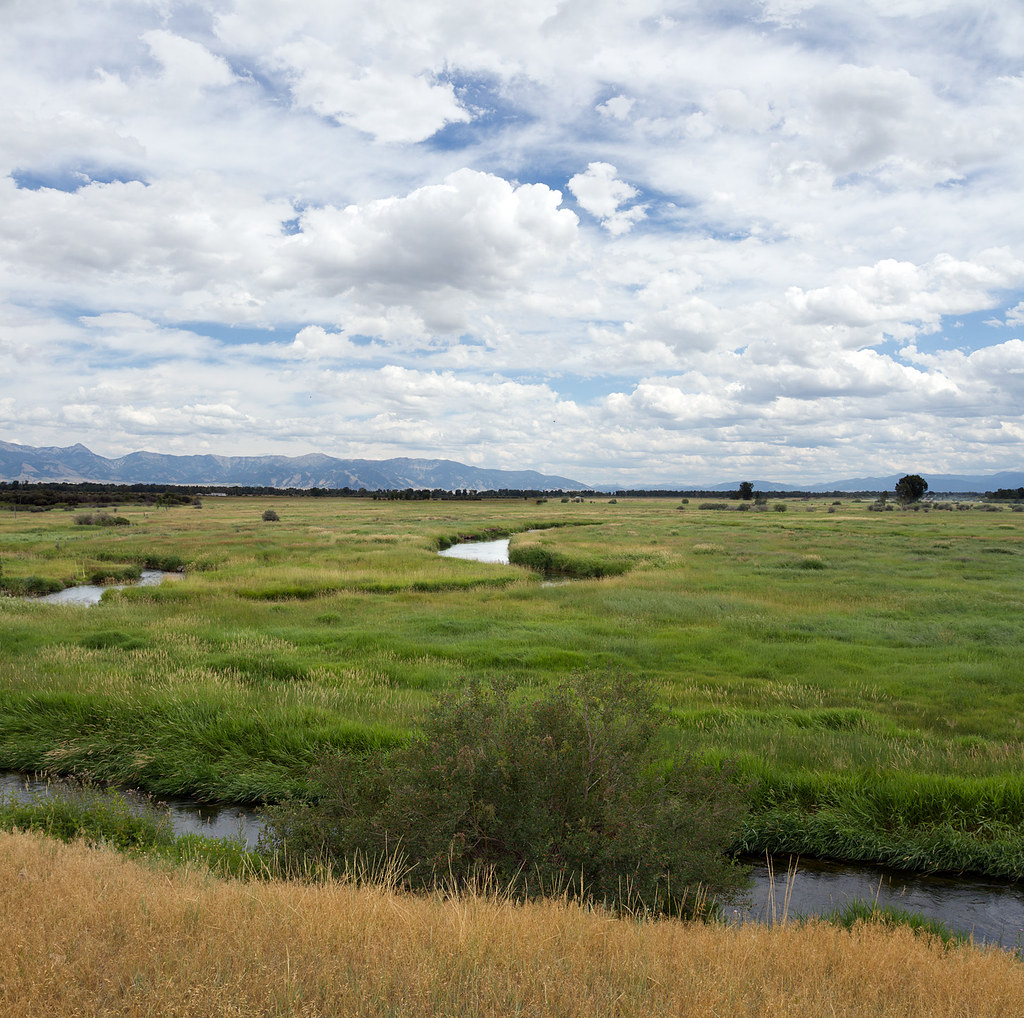
Satellite Map:
Related Photos:
Meadow View Cemetery, White, MT

Forgotten Road

Coulters Run, Three Forks, MT
Topographic Map of Logan, MT, USA
Find elevation by address:

Places near Logan, MT, USA:
2700 Logan Trident Rd
Missouri Headwaters State Park
Gallatin River Ranch
S Broadway St, Manhattan, MT, USA
Manhattan
Altenbrand Ave, Manhattan, MT, USA
6623 Madison Rd
Three Forks
Meadowview Cemetery
Three Forks, MT, USA
Clarkston Rd, Three Forks, MT, USA
Broken Creek Road
US-, Three Forks, MT, USA
16600 Pole Gulch Rd
Heeb Rd, Manhattan, MT, USA
13765 Mountain Top Rd
Mountain Top Road
14001 Mountain Top Rd
Cloud House Road
431 Skyline Rd
Recent Searches:
- Elevation of Corso Fratelli Cairoli, 35, Macerata MC, Italy
- Elevation of Tallevast Rd, Sarasota, FL, USA
- Elevation of 4th St E, Sonoma, CA, USA
- Elevation of Black Hollow Rd, Pennsdale, PA, USA
- Elevation of Oakland Ave, Williamsport, PA, USA
- Elevation of Pedrógão Grande, Portugal
- Elevation of Klee Dr, Martinsburg, WV, USA
- Elevation of Via Roma, Pieranica CR, Italy
- Elevation of Tavkvetili Mountain, Georgia
- Elevation of Hartfords Bluff Cir, Mt Pleasant, SC, USA