Elevation of Loeriesfontein, South Africa
Location: South Africa > Northern Cape > Namakwa > Loeriesfontein >
Longitude: 19.4497084
Latitude: -30.964044
Elevation: 906m / 2972feet
Barometric Pressure: 91KPa
Elevation Map:
Satellite Map:
Related Photos:
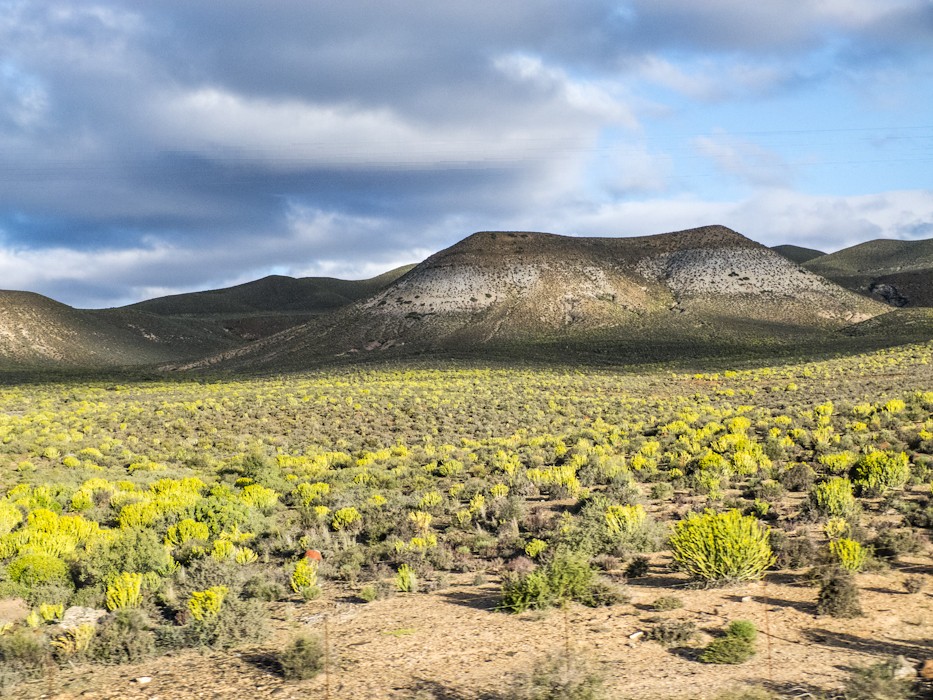
View form bus

(Day 6) Loeriesfontein

(Day 6) Loeriesfontein

(Day 6) Loeriesfontein

(Day 6) Loeriesfontein

(Day 6) Loeriesfontein

(Day 6) Loeriesfontein

(Day 6) Loeriesfontein

(Day 6) Loeriesfontein

(Day 6) Loeriesfontein

(Day 6) Loeriesfontein
Topographic Map of Loeriesfontein, South Africa
Find elevation by address:

Places near Loeriesfontein, South Africa:
Kamdanie R Loeriesfontein Fall
Kamdanierivier
Taaiboskraal
Nieuwoudtville
Nieuwoudtville
Nieuwoudtville
De Pakhuys
Taaiboskraalrivier
West Coast Dc
Lambert's Bay
Recent Searches:
- Elevation of Corso Fratelli Cairoli, 35, Macerata MC, Italy
- Elevation of Tallevast Rd, Sarasota, FL, USA
- Elevation of 4th St E, Sonoma, CA, USA
- Elevation of Black Hollow Rd, Pennsdale, PA, USA
- Elevation of Oakland Ave, Williamsport, PA, USA
- Elevation of Pedrógão Grande, Portugal
- Elevation of Klee Dr, Martinsburg, WV, USA
- Elevation of Via Roma, Pieranica CR, Italy
- Elevation of Tavkvetili Mountain, Georgia
- Elevation of Hartfords Bluff Cir, Mt Pleasant, SC, USA