Elevation of Locust Pike, Covington, KY, USA
Location: United States > Kentucky > Kenton County > Covington >
Longitude: -84.465402
Latitude: 38.9679069
Elevation: -10000m / -32808feet
Barometric Pressure: 295KPa
Elevation Map:
Satellite Map:
Related Photos:

UFO [Explored]

Dropped... [Explored]

Drama Over The Queen City

Trapped! [Explored]

Downy woodpecker

Cirque du Soleil in Cincinnati

Let's go downtown tonight

Morning fog snakes down the river six minutes from CVG

The Ascent at Roebling's Bridge - Mt. Libeskinds

I don't know why you don't take me downtown
Bonnie takes a brake

The Crossing

Fresh Angle at Cincy

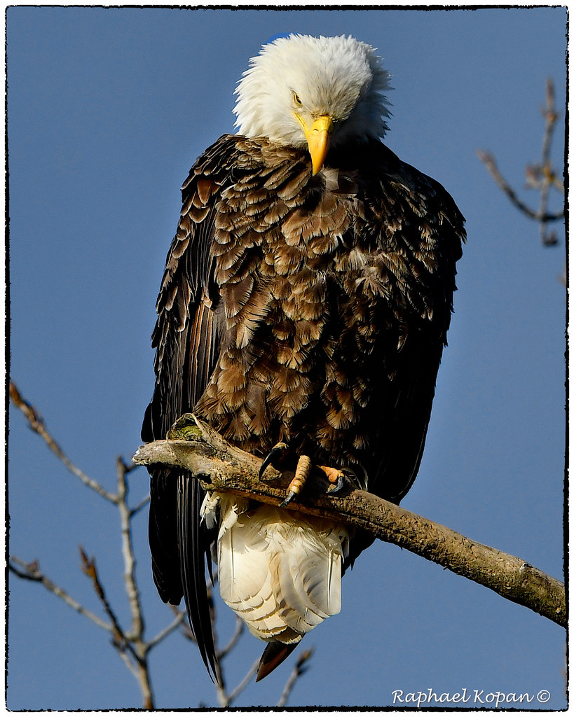
Bonnie and Clyde, the urban eagles (View Large)

Scripps Center / 312 Walnut Street / Cincinnati / Ohio / USA / Built: 1990 / Architects: Hoover & Furr; Glaser & Associates; Space Design International / Height: 468 ft (143 m) / Floors: 36 / Style: Postmodernism / Elevators: 15

Reflections of Roebling Suspension Bridge

Paul Brown Stadium, 1 Paul Brown Stadium, Cincinnati, Ohio, USA / Built: 2000 / Architect: Dan Meis of the architectural firm NBBJ

SkyStar Observation Wheel, 55 E Freedom Way, Cincinnati, Ohio, USA

Scripps Center / 312 Walnut Street / Cincinnati / Ohio / USA / Built: 1990 / Architects: Hoover & Furr; Glaser & Associates; Space Design International / Height: 468 ft (143 m) / Floors: 36 / Style: Postmodernism / Elevators: 15
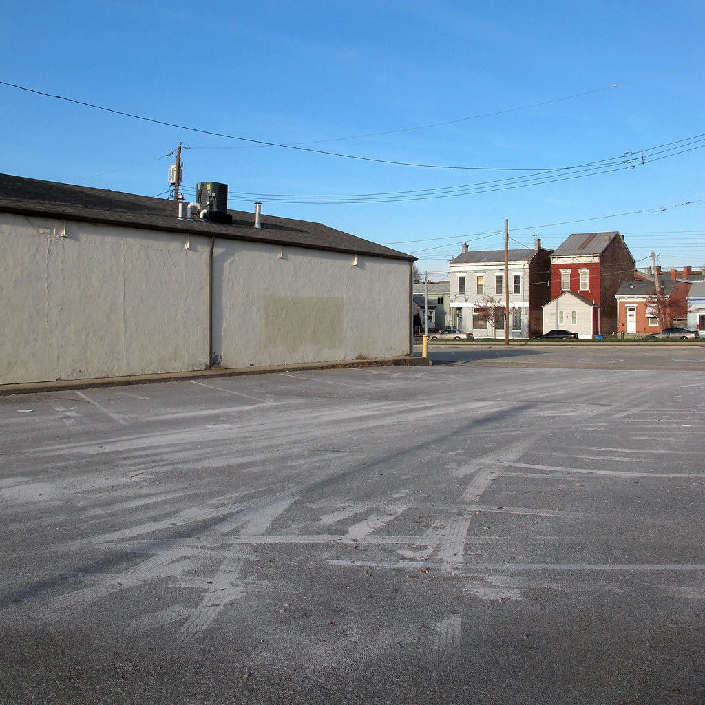
I liked this area because of the unusual tiretracks effects.

Bokeh Park [Explored/Front Page]

Mirror Of Fire

Great American Ball Park

IMG_3021.JPG

Great American Ball Park

IMG_2989.JPG

BNSF 759 - Covington, KY

Cincinnati over the Ohio

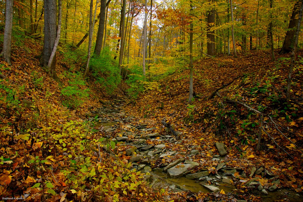
Trees on the Hill

Cincinnati Skyline

Sunrise at 52 Feet

Blurred Cincinnati

Overlooking the River

Oktoberfest-10
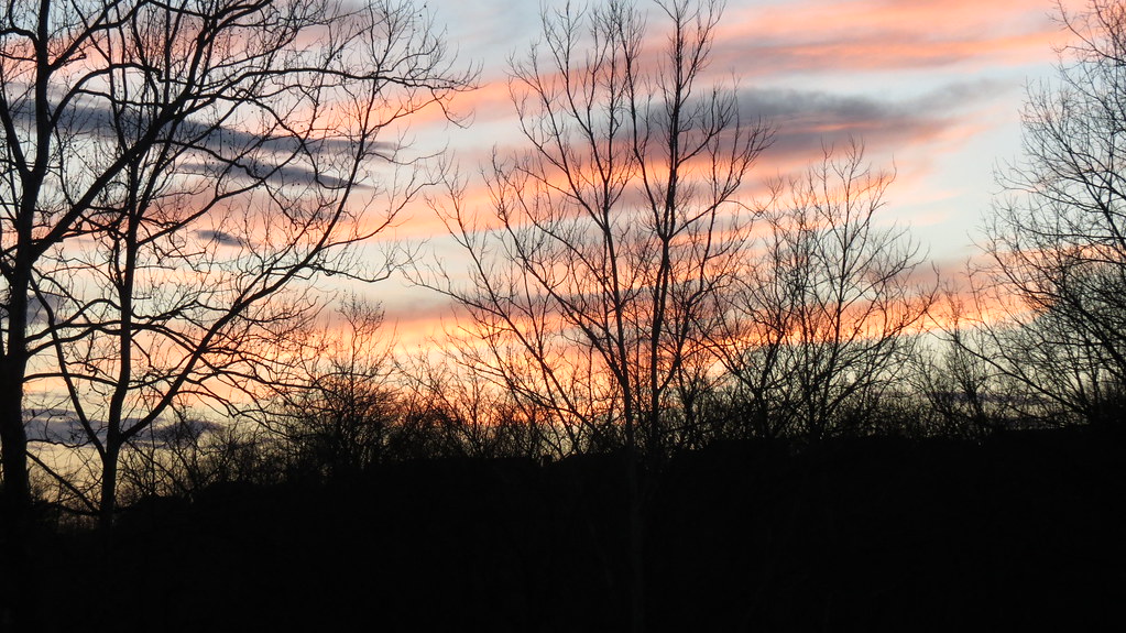
Kentucky Sunset 3

CINCINATTI SKYLINE

Rural (7)

We watched the storm roll in and then stood up to its force.

IMG_1513.JPG

IMG_3180.JPG
California Woods Park, behind the ranger station

Licking River
Topographic Map of Locust Pike, Covington, KY, USA
Find elevation by address:

Places near Locust Pike, Covington, KY, USA:
9712 Ky-1930
Locust Pike, Ryland Heights, KY, USA
Ryland Heights
Whites Rd, Ryland Heights, KY, USA
Latonia, KY, USA
Rifle Range Road
Rifle Range Road
Locust Pike, Taylor Mill, KY, USA
Crystal Ln, Latonia, KY, USA
Clubhouse Dr, Covington, KY, USA
Taylor Mill
333 Pooles Creek Rd
Licking Pike, Alexandria, KY, USA
Valleyside Drive
306 Fallingwater Ct
4100-4108
Cold Spring
9999 John Miller Rd
Taylor Mill Rd, Independence, KY, USA
State Highway 177 East
Recent Searches:
- Elevation of Corso Fratelli Cairoli, 35, Macerata MC, Italy
- Elevation of Tallevast Rd, Sarasota, FL, USA
- Elevation of 4th St E, Sonoma, CA, USA
- Elevation of Black Hollow Rd, Pennsdale, PA, USA
- Elevation of Oakland Ave, Williamsport, PA, USA
- Elevation of Pedrógão Grande, Portugal
- Elevation of Klee Dr, Martinsburg, WV, USA
- Elevation of Via Roma, Pieranica CR, Italy
- Elevation of Tavkvetili Mountain, Georgia
- Elevation of Hartfords Bluff Cir, Mt Pleasant, SC, USA