Elevation of Lobster Valley Road, Lobster Valley Rd, Alsea, OR, USA
Location: United States > Oregon > Benton County >
Longitude: -123.73781
Latitude: 44.311506
Elevation: 100m / 328feet
Barometric Pressure: 100KPa
Elevation Map:
Satellite Map:
Related Photos:
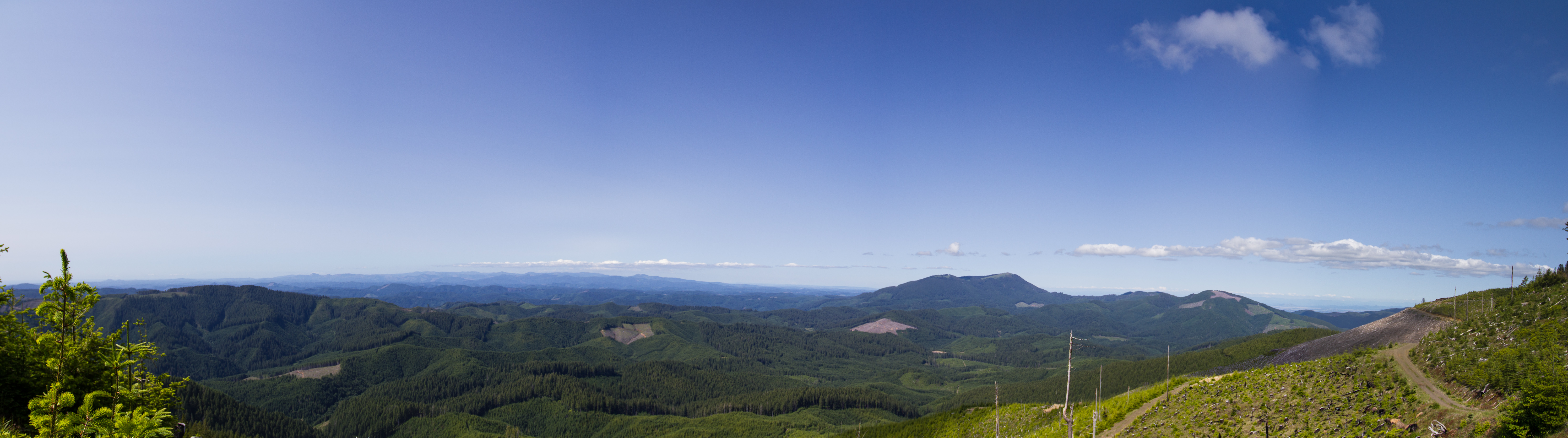
Atop Grass Mt.
my total eclipse - length 2:43

Fall Creek
Green and gold II
Where the mountain's shadow falls
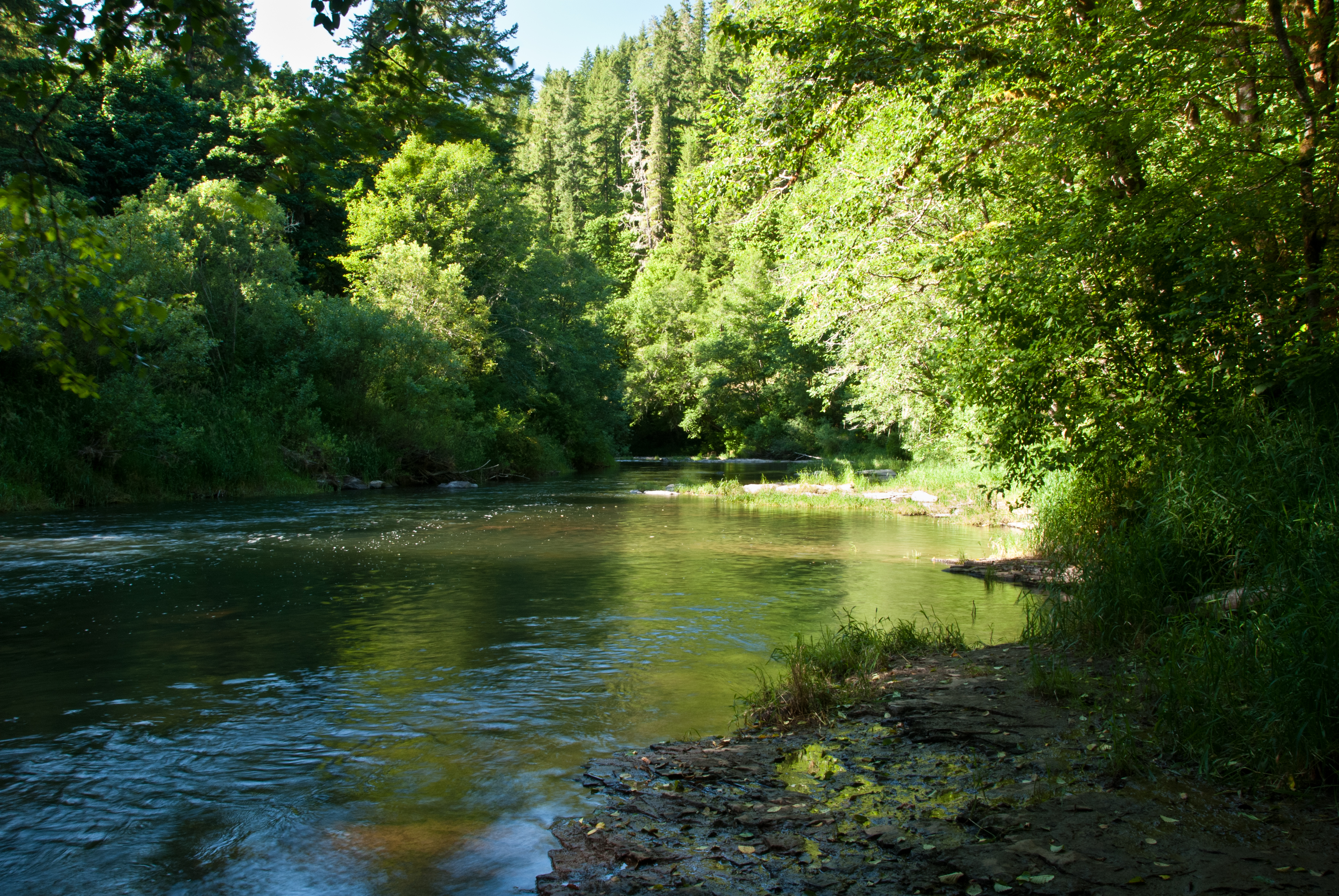
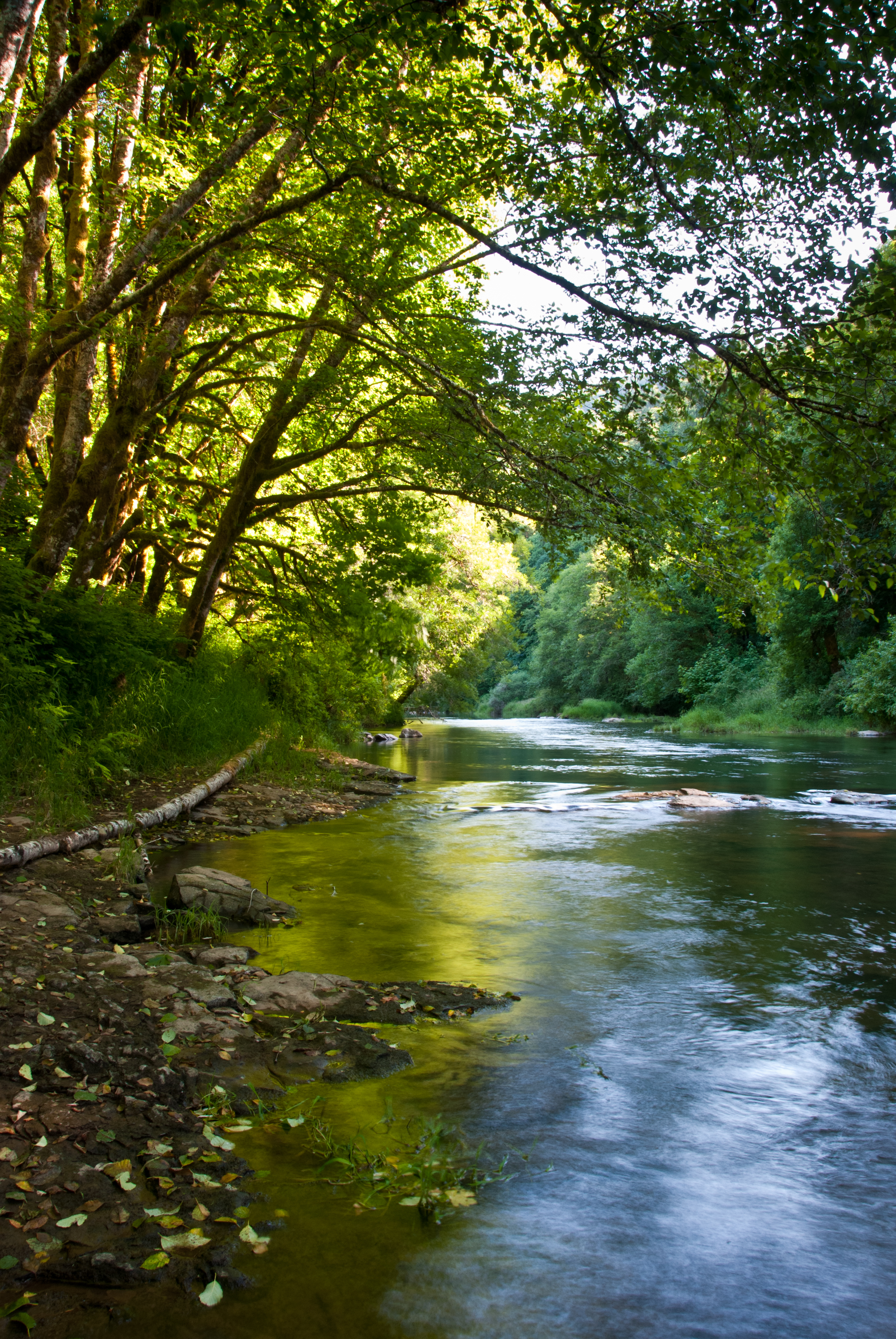
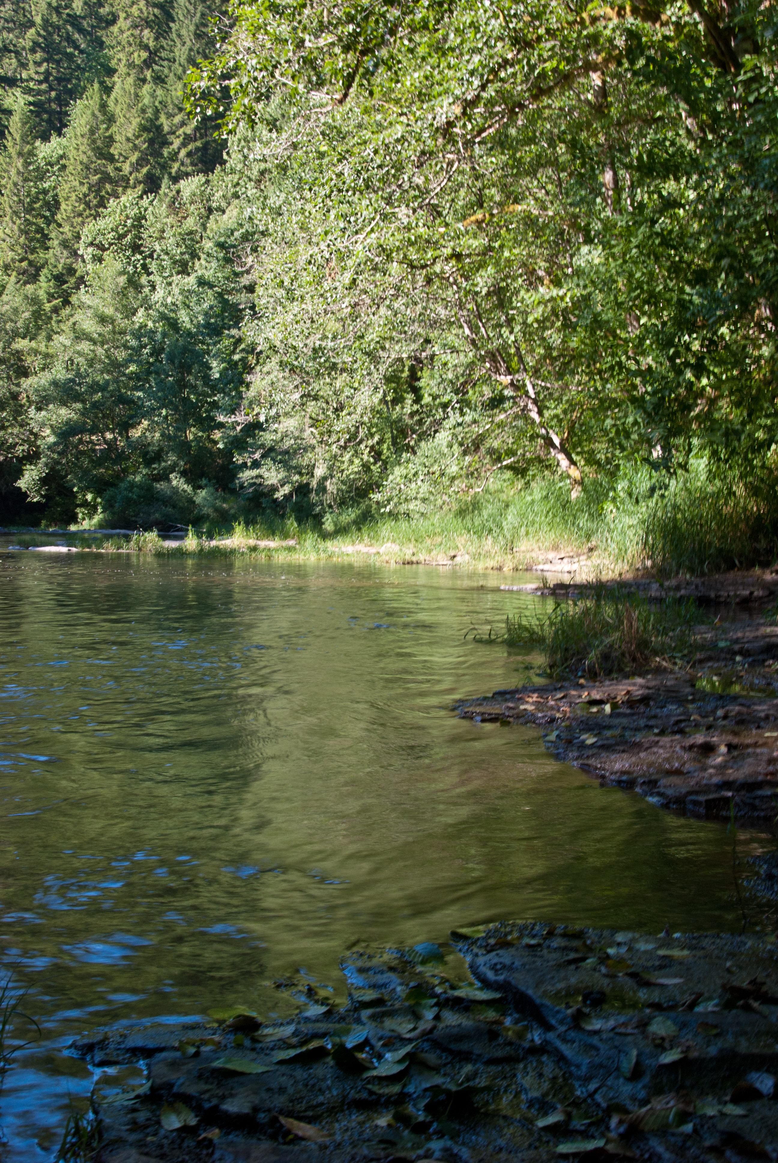
Cool river
Late light

HDR adjustment
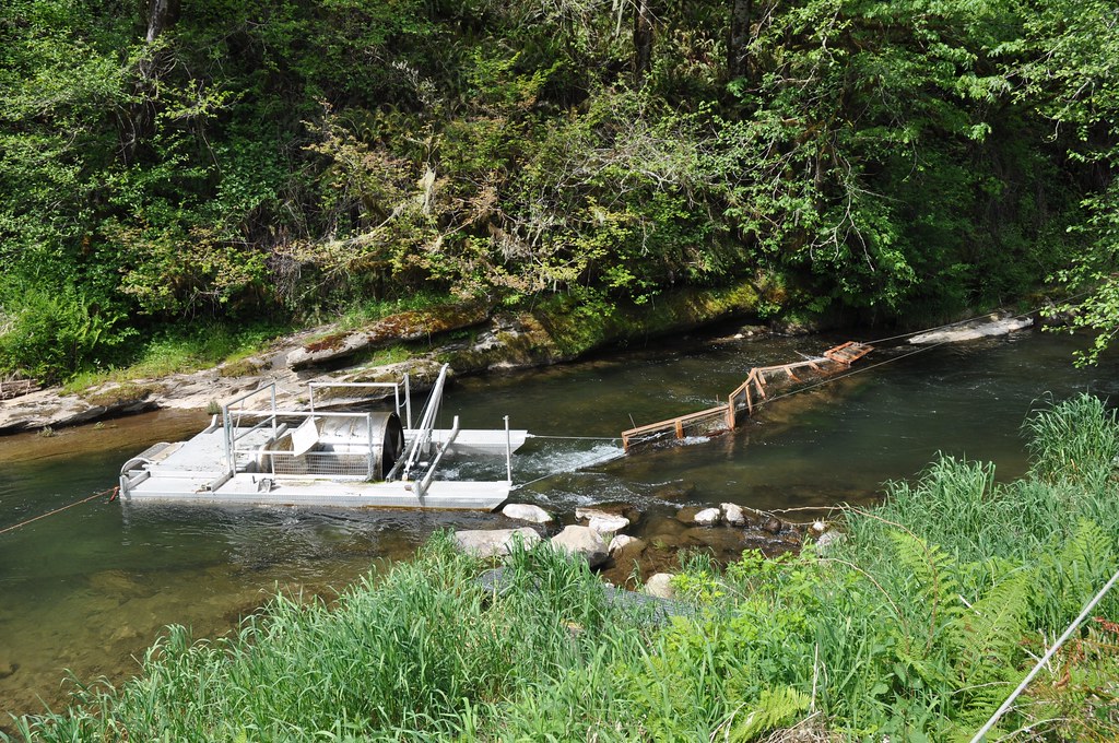
Salmon research catching vessel
a creek by any other name
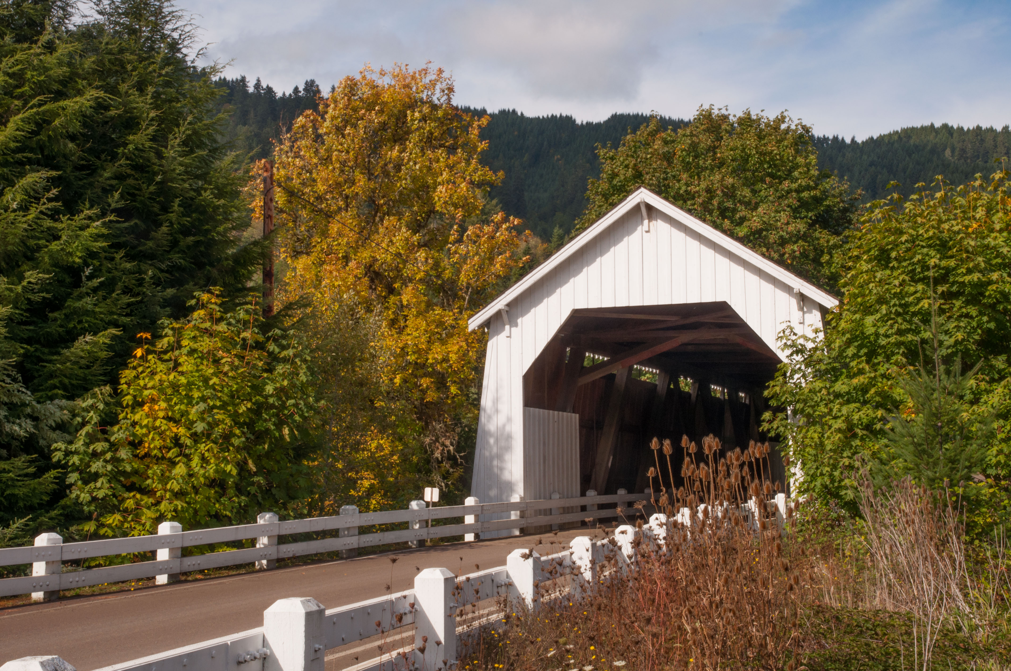
Hayden Bridge 13
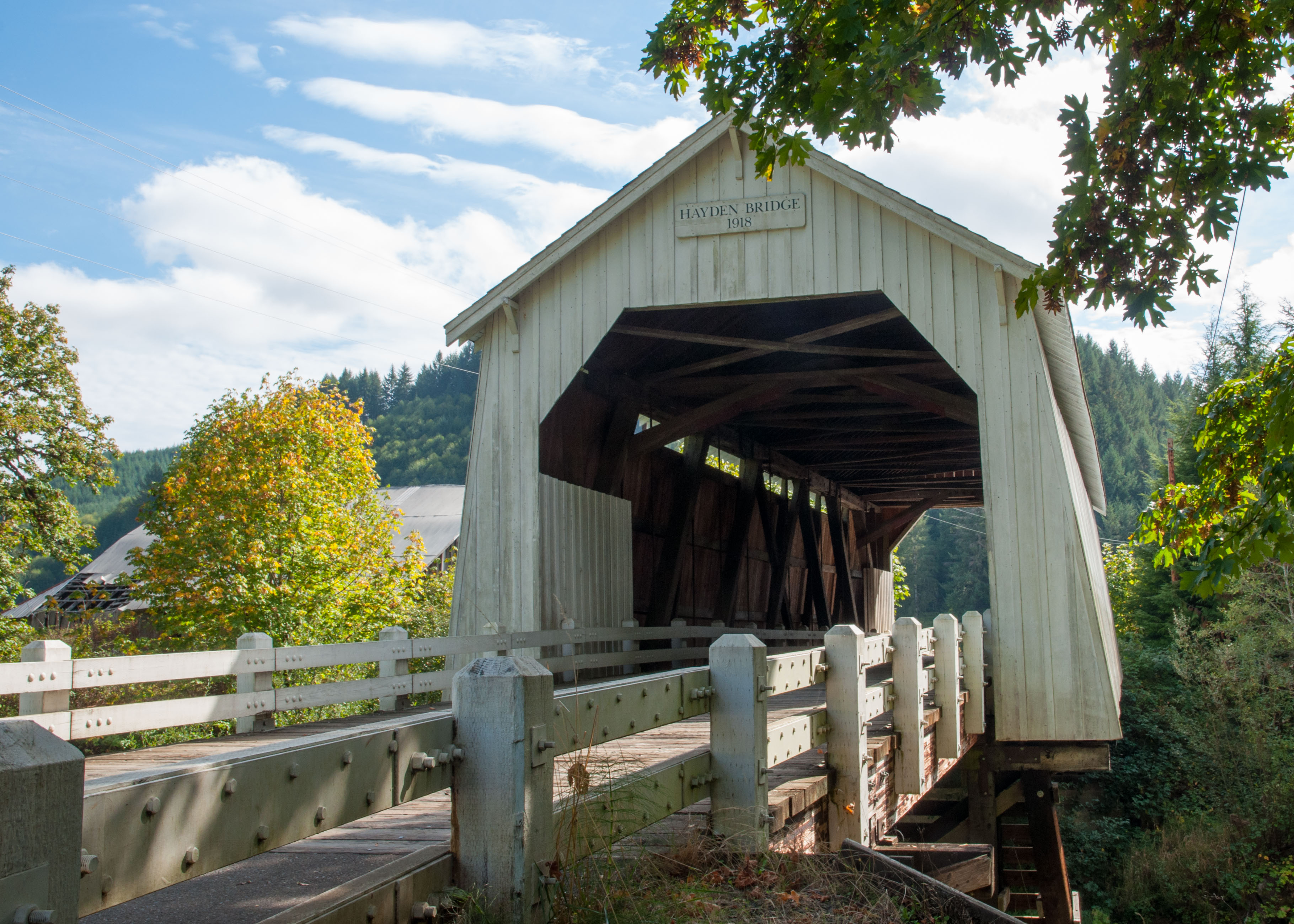
Hayden Bridge 29
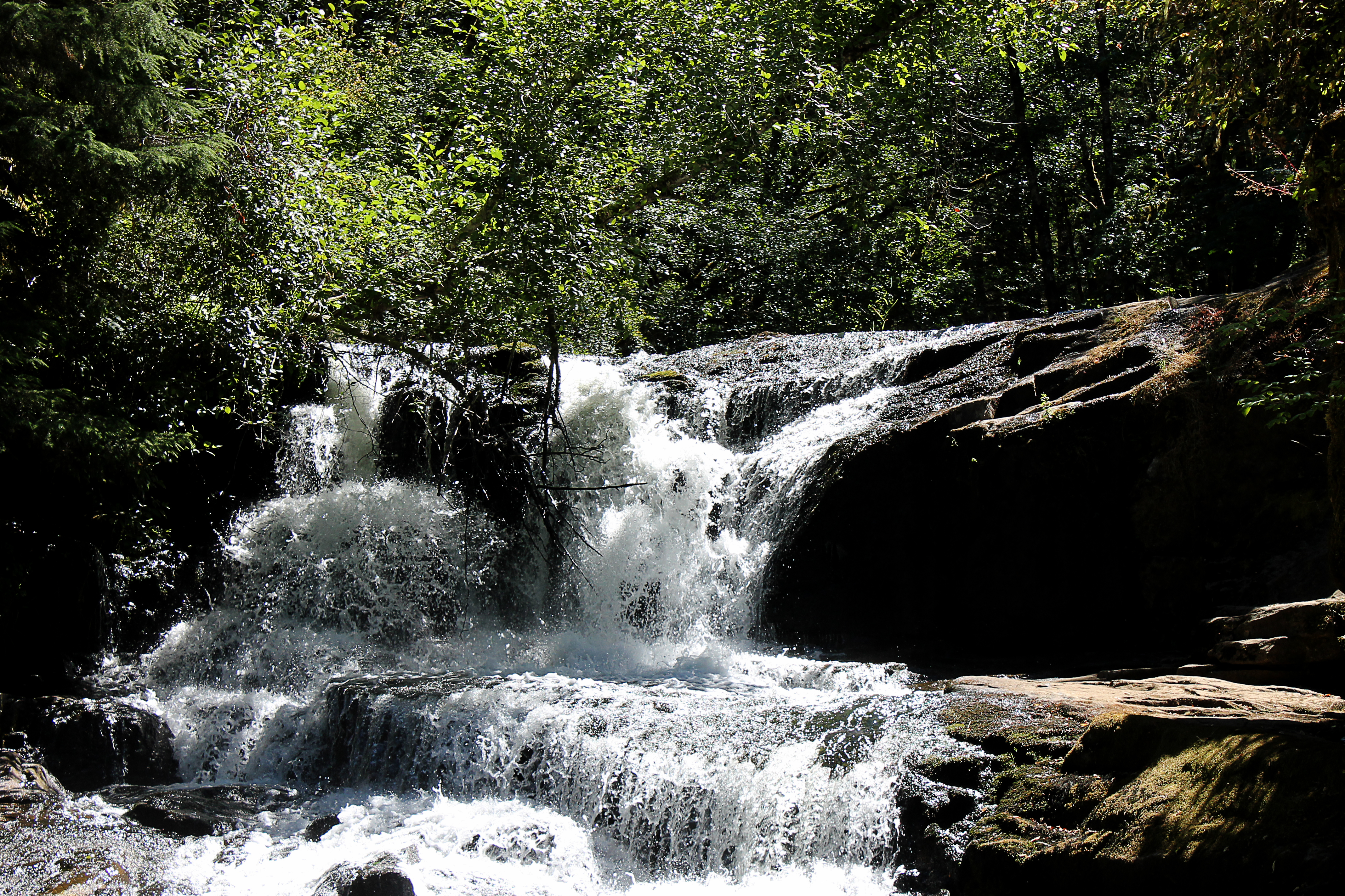
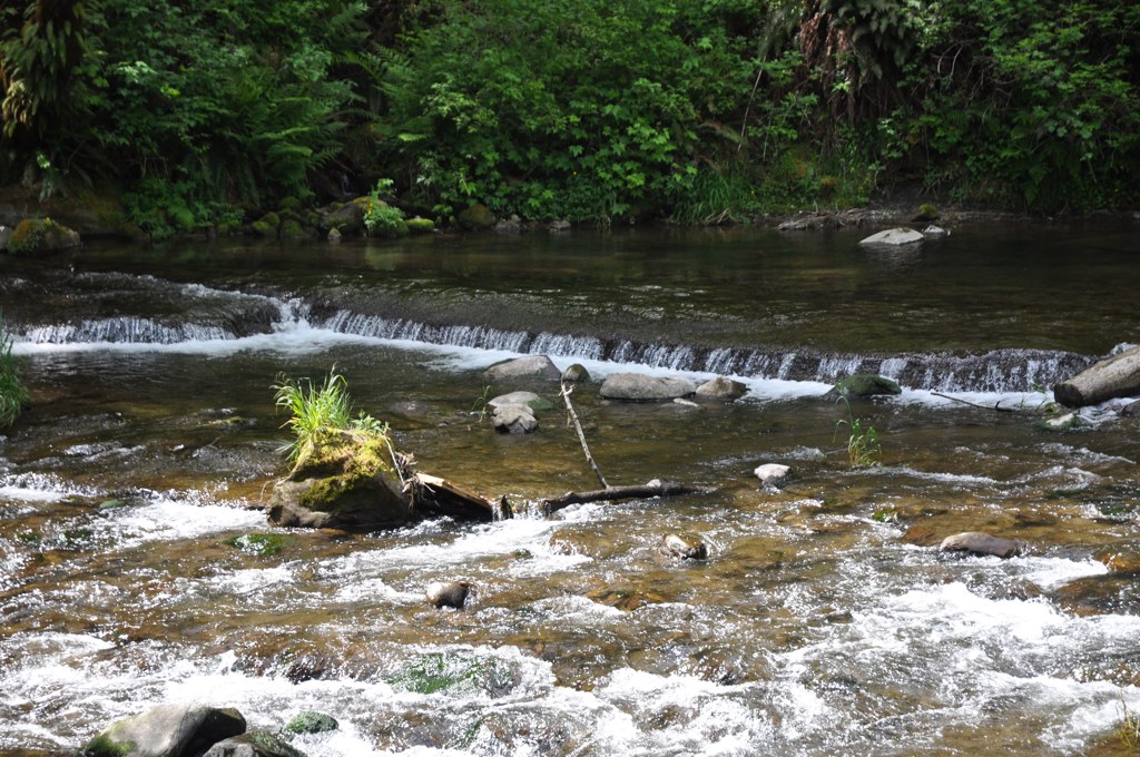
Alsea Falls

Everyday for 7 Weeks - Day 35 - Corvallis to Brookings
Topographic Map of Lobster Valley Road, Lobster Valley Rd, Alsea, OR, USA
Find elevation by address:

Places near Lobster Valley Road, Lobster Valley Rd, Alsea, OR, USA:
17587 Little Lobster Rd
Hazel Glen Road
Alsea
OR-36, Deadwood, OR, USA
Greenleaf
Triangle Lake
OR-36, Blachly, OR, USA
19652 Or-36
Blachly
Blachly
Blachly
Blachly
Blachly
Blachly
Blachly
Blachly
Blachly
Blachly
Blachly
Blachly
Recent Searches:
- Elevation of Corso Fratelli Cairoli, 35, Macerata MC, Italy
- Elevation of Tallevast Rd, Sarasota, FL, USA
- Elevation of 4th St E, Sonoma, CA, USA
- Elevation of Black Hollow Rd, Pennsdale, PA, USA
- Elevation of Oakland Ave, Williamsport, PA, USA
- Elevation of Pedrógão Grande, Portugal
- Elevation of Klee Dr, Martinsburg, WV, USA
- Elevation of Via Roma, Pieranica CR, Italy
- Elevation of Tavkvetili Mountain, Georgia
- Elevation of Hartfords Bluff Cir, Mt Pleasant, SC, USA