Elevation of Livingston Line, Brussels, ON N0G 1H0, Canada
Location: Canada > Ontario > Huron County > Huron East >
Longitude: -81.148487
Latitude: 43.6503126
Elevation: 358m / 1175feet
Barometric Pressure: 97KPa
Elevation Map:
Satellite Map:
Related Photos:
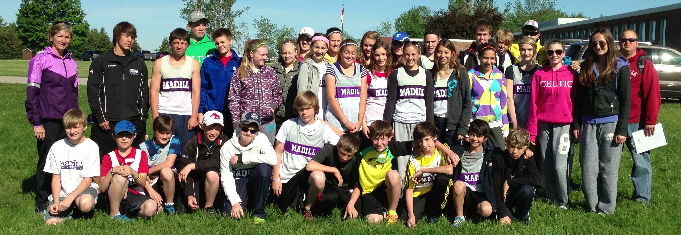
Day 155: Madill Track & Field Team Rocks the Regionals
20160626-085A7757.jpg

0310_2.ajpg

Winter farm (1 of 16)
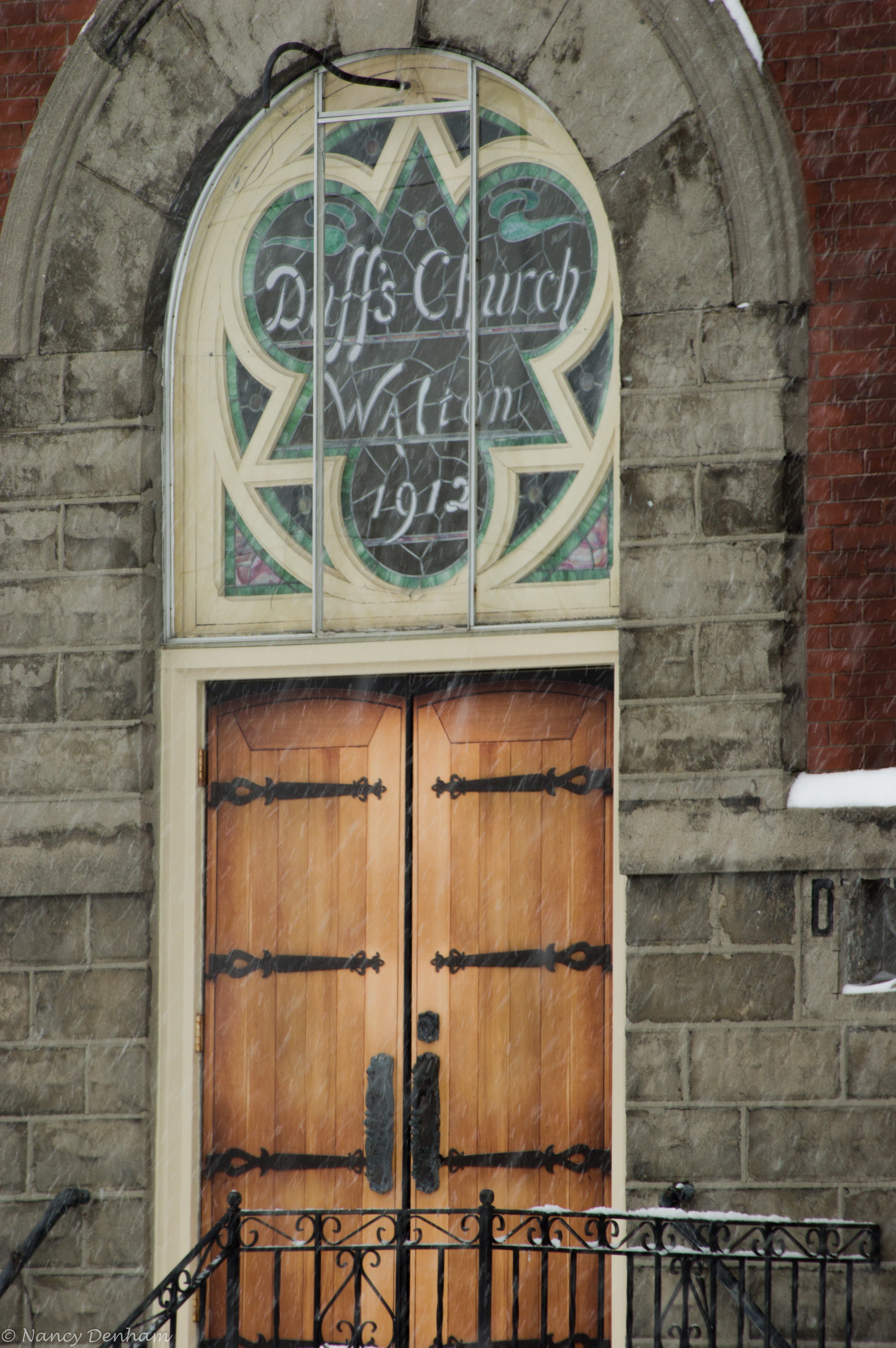
Walton (1 of 7)
Walton (5 of 7)
Walton (7 of 7)
Topographic Map of Livingston Line, Brussels, ON N0G 1H0, Canada
Find elevation by address:

Places near Livingston Line, Brussels, ON N0G 1H0, Canada:
Arthur St, Atwood, ON N0G, Canada
Atwood
Huron East
Brussels
250 Turnberry St
250 Turnberry St
250 Turnberry St
250 Turnberry St
250 Turnberry St
250 Turnberry St
Molesworth
Brussels Line, Bluevale, ON N0G 1G0, Canada
6606 Perth County Line 86
Listowel
255 Elizabeth St E
880 Richmond Ave N
886 Richmond Ave N
Gorrie
Albert Street South
41217 St Michaels Rd
Recent Searches:
- Elevation of Corso Fratelli Cairoli, 35, Macerata MC, Italy
- Elevation of Tallevast Rd, Sarasota, FL, USA
- Elevation of 4th St E, Sonoma, CA, USA
- Elevation of Black Hollow Rd, Pennsdale, PA, USA
- Elevation of Oakland Ave, Williamsport, PA, USA
- Elevation of Pedrógão Grande, Portugal
- Elevation of Klee Dr, Martinsburg, WV, USA
- Elevation of Via Roma, Pieranica CR, Italy
- Elevation of Tavkvetili Mountain, Georgia
- Elevation of Hartfords Bluff Cir, Mt Pleasant, SC, USA