Elevation of Little Creek Ln, Jacksonville, FL, USA
Location: United States > Florida > Duval County > Jacksonville > Mandarin >
Longitude: -81.643674
Latitude: 30.1697974
Elevation: 1m / 3feet
Barometric Pressure: 101KPa
Elevation Map:
Satellite Map:
Related Photos:

Mandarin, Jacksonville, Psalm 19:1
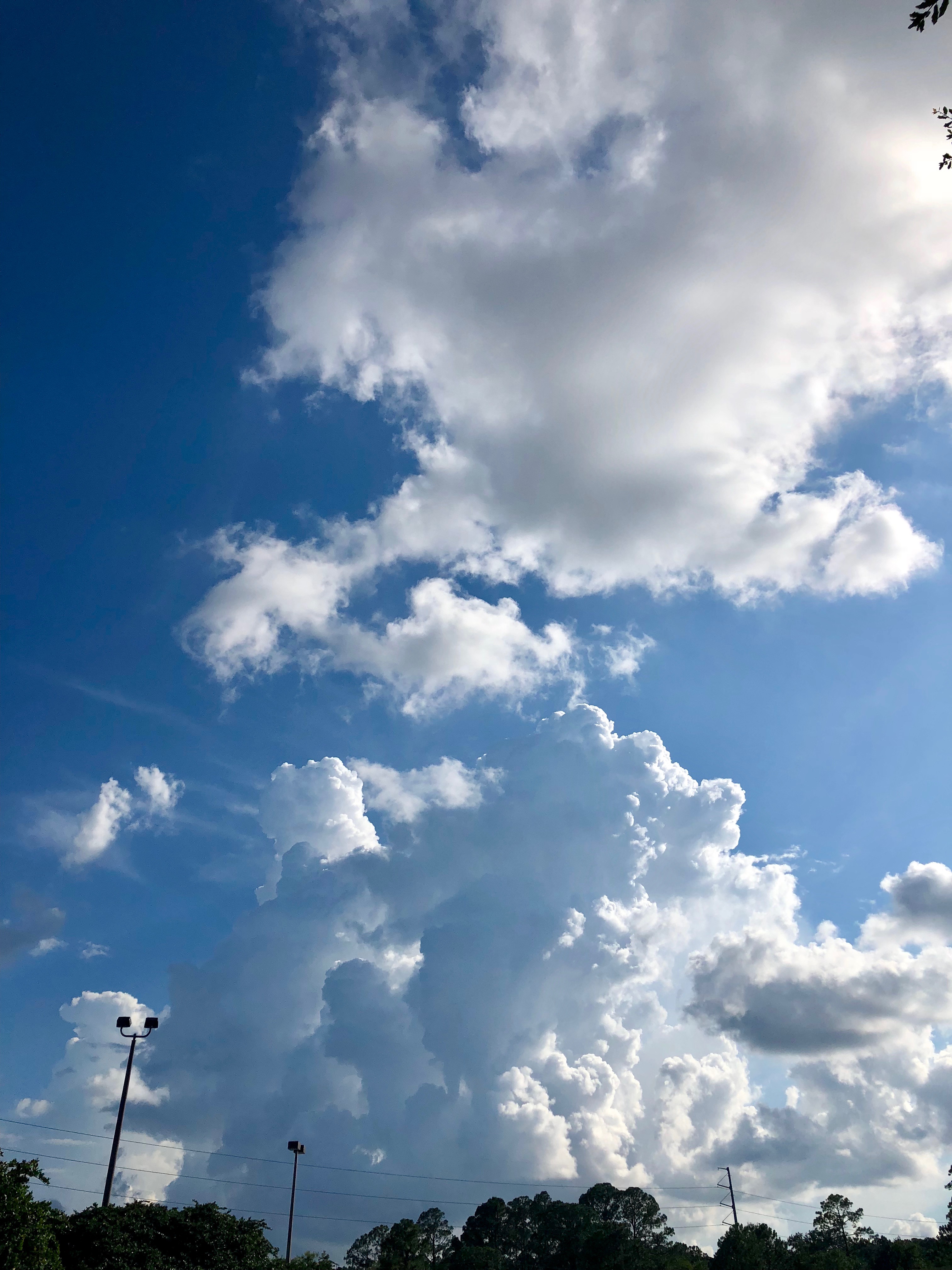
Future storm cloud
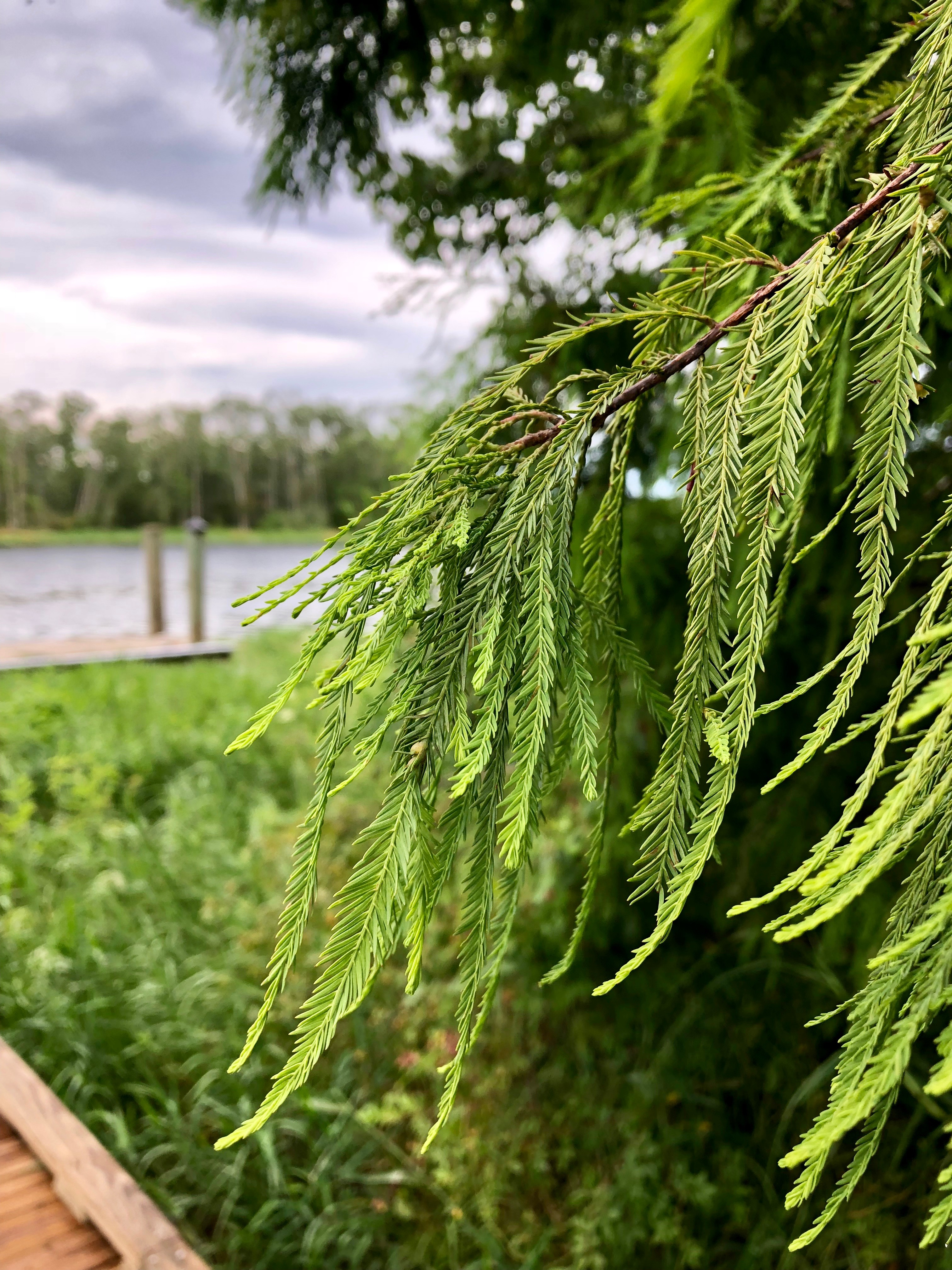
Tree on the river bank
Because Heritage

Pointless Arrow on the ACL Main
OCS on the ACL Main
Florida Morning

SAM_0382-2

cutting through clouds ( looks lovely large)

Hole in the clouds

Sun shining through storm clouds

St.Johns River

Alone In The Park

One Purple Evening

St.Johns River-2

the earth ,sky and moon

Doctors Lake Sunset

Mandarin Park, Jacksonville, Psalm 5:11

Sun & Shadow Big Davis Creek
Topographic Map of Little Creek Ln, Jacksonville, FL, USA
Find elevation by address:

Places near Little Creek Ln, Jacksonville, FL, USA:
11916 Little Creek Ln
11921 Little Creek Ln
2455 County Dock Rd
Ashton Oaks Drive
2657 Riverport Dr S
2656 Riverport Dr N
10977 Riverport Dr W
11470 Halethorpe Dr
11458 Baskerville Rd
11529 Baskerville Rd
2620 Scott Mill Ln
11557 Sedgemoore Dr S
11835 Stone Bridge Dr W
11730 Sparkleberry Ln
2616 Scott Mill Dr S
11112 San Jose Blvd
Jacksonville, FL, USA
2851 Scott Mill Pl
2662 Stonegate Dr
11979 Remsen Rd
Recent Searches:
- Elevation of Corso Fratelli Cairoli, 35, Macerata MC, Italy
- Elevation of Tallevast Rd, Sarasota, FL, USA
- Elevation of 4th St E, Sonoma, CA, USA
- Elevation of Black Hollow Rd, Pennsdale, PA, USA
- Elevation of Oakland Ave, Williamsport, PA, USA
- Elevation of Pedrógão Grande, Portugal
- Elevation of Klee Dr, Martinsburg, WV, USA
- Elevation of Via Roma, Pieranica CR, Italy
- Elevation of Tavkvetili Mountain, Georgia
- Elevation of Hartfords Bluff Cir, Mt Pleasant, SC, USA